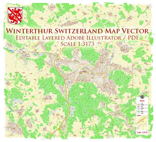
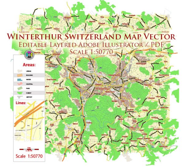
Winterthur is a city in the canton of Zurich in Switzerland. It is known for its rich cultural heritage, historical sites, and vibrant urban atmosphere. While Winterthur does not have major waterways like some other Swiss cities (e.g., Zurich or Geneva), it has a well-developed road network, bridges, and main streets. Vectormap.Net provide you with the most accurate and up-to-date vector maps in Adobe Illustrator, PDF and other formats, designed for editing and printing. Please read the vector map descriptions carefully.
- Road Network:
- Winterthur is well-connected by a network of roads, making it easily accessible by car. Major roads link the city to other urban centers in Switzerland.
- The A1 motorway, a significant north-south route, passes by Winterthur and facilitates transportation to and from the city.
- Bridges:
- While Winterthur is not characterized by numerous bridges over waterways, it has some notable structures. Examples include road bridges that span local rivers or streams.
- One example is the “Eulachsteg,” a pedestrian and cyclist bridge over the Eulach River, connecting different parts of the city.
- Waterways:
- The Eulach River is a small river that flows through Winterthur. While it may not be a major waterway, it contributes to the city’s picturesque landscape.
- Other smaller streams and watercourses also traverse various parts of the city.
- Main Streets and Areas:
- Obertor: This is a historic gate and tower that marks the entrance to the old town. The area around Obertor features charming streets and is home to several shops and restaurants.
- Marktgasse: This is one of the main streets in the old town, lined with shops, cafes, and historic buildings.
- Bahnhofstrasse: As in many Swiss cities, Bahnhofstrasse is a prominent street leading to the train station. It is often a bustling area with shops, businesses, and public transportation facilities.
- Stadthausstrasse: This street is known for its shopping opportunities, with a variety of retail stores and boutiques.
- Public Transportation:
- Winterthur is well-connected by public transportation, including buses and trains. The main train station, “Winterthur Hauptbahnhof,” serves as a transportation hub.
- The public transportation system facilitates easy movement within the city and connects Winterthur to other Swiss cities and towns.
It’s recommended to explore Winterthur on foot to fully appreciate its historical charm, cultural attractions, and the blend of modern and traditional elements in its urban landscape.


 Author: Kirill Shrayber, Ph.D.