Extended Description of the Vector Map
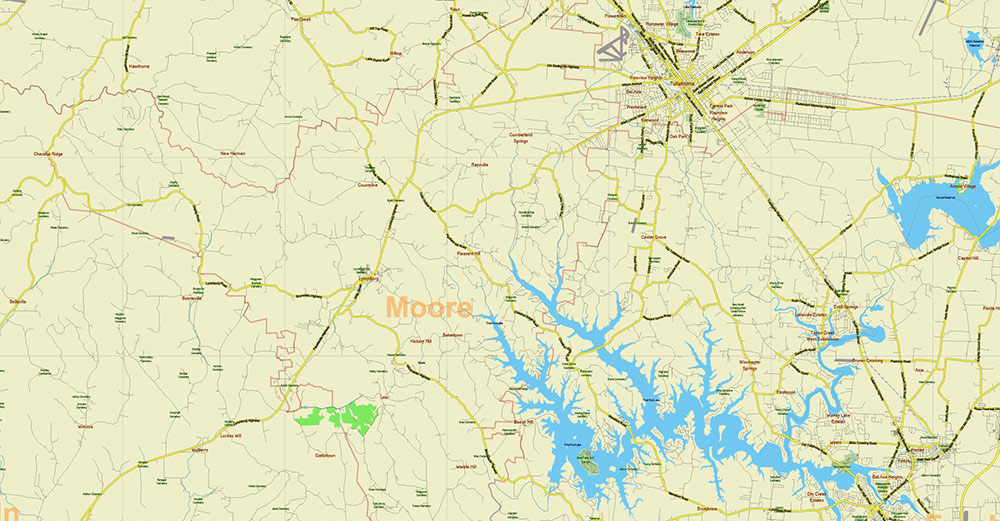
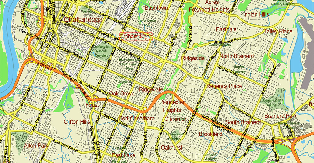
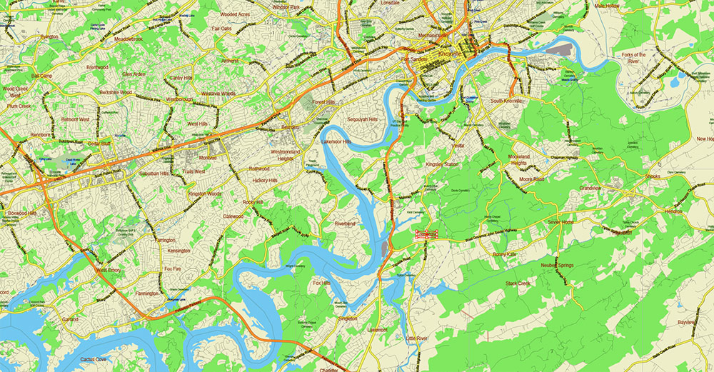
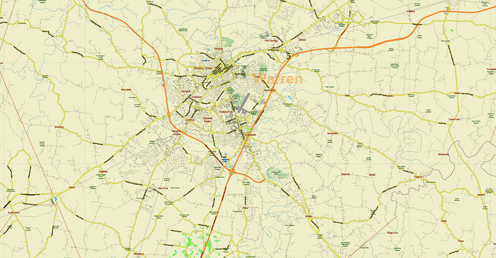
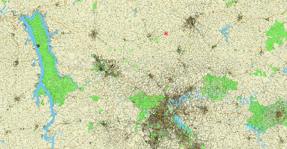
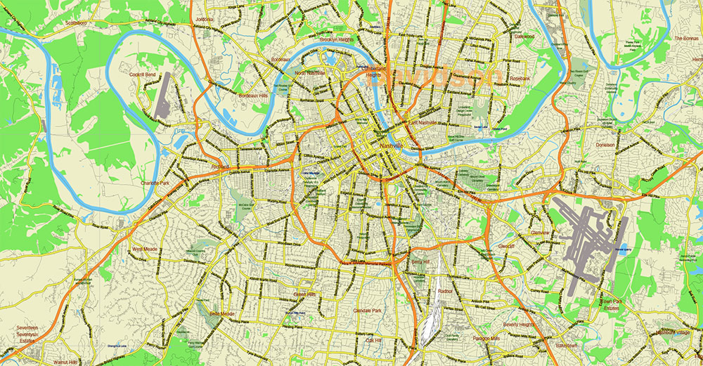
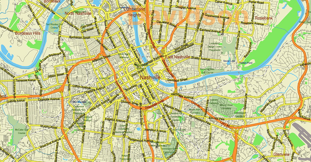
Printable Vector Map of Tornado Area: South Kentucky and Northwest Tennessee states US High Detailed Road Map fully editable Adobe Illustrator Road and Counties Map in layers, scalable, text/curves format all names, 121 MB ZIP
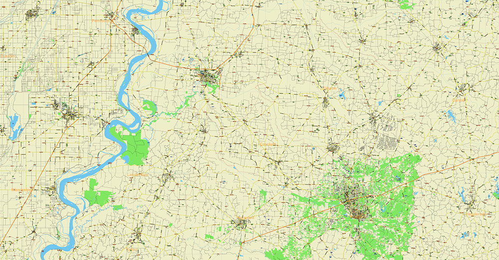
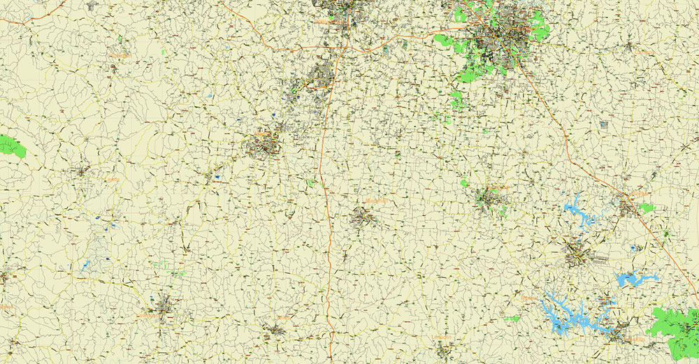
All streets and roads Principal Street Names, All Cities and Towns, Airports and Heliports, Main Objects, Counties. Map for design, printing, arts, projects, presentations, for architects, designers, and builders, business, logistics.
The most exact and detailed map of the state in scale.
For Editing and High-Quality Printing, Royalty free
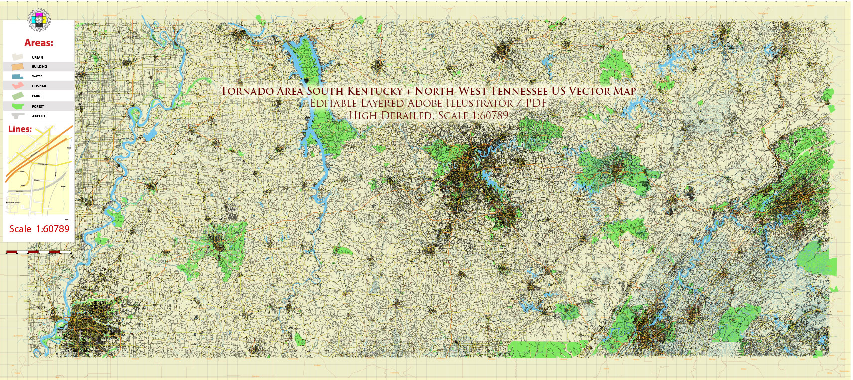
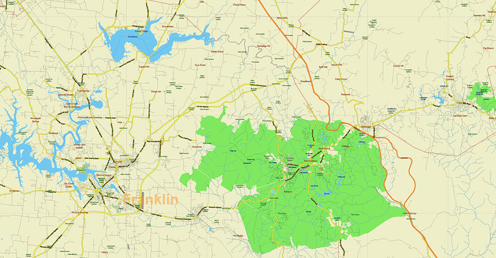
Tornado Area Vector Map: South Kentucky and Northwest Tennessee states US high detailed road map editable Adobe Illustrator
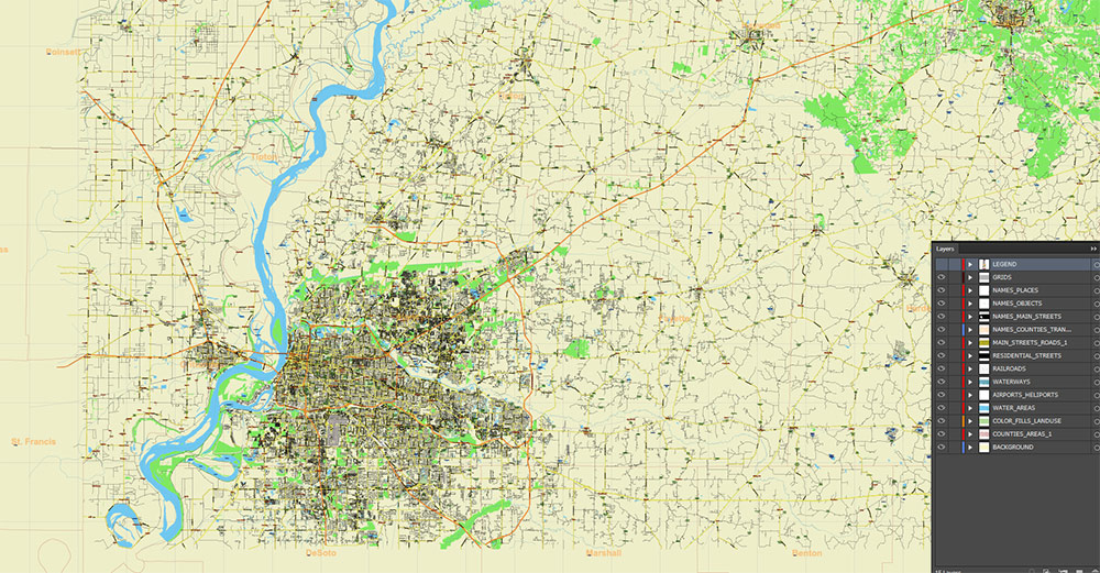
Layers list:
- Legend – Scale in miles
- Grids
- Names of places (city, hamlet, etc.)
- Points of the Cities and Towns
- Names of objects
- Names of Counties
- Names of principal streets and roads
- Principal Streets and Roads
- Residential streets and roads
- Railroads
- Airports and Heliports runways
- Water objects (rivers, lakes, ponds)
- Waterways
- Land Use Areas
- Counties areas
- Background
Typical Tornado Paths
-
Southwest → Northeast (most common)
Storm systems often develop over Arkansas or Mississippi and move northeast across western Tennessee into Kentucky.
-
West → East or WSW → ENE
Associated with strong squall lines or cold fronts coming from Missouri.
-
South → North / NNE
Occurs when very moist air flows northward from the Gulf of Mexico.
These paths generally follow the movement of large storm systems across the central United States.
Geographic Factors That Increase Tornado Risk
1. Warm Moist Air from the Gulf
Warm, humid air moves north from the Gulf of Mexico and collides with cooler, drier air from the central U.S.
This strong contrast creates atmospheric instability needed for severe thunderstorms.
2. No Major Mountain Barriers
Between the Great Plains and the Mississippi Valley there are few major mountains.
Air masses can move freely, allowing warm southern air and cooler northern air to interact easily.
3. Mississippi River Valley
The Mississippi River valley helps maintain high low-level humidity and can enhance wind convergence, which supports strong storm development.
4. Strong Wind Shear
The region often has strong vertical wind shear:
This shear allows thunderstorms to rotate and form supercells, the storms most likely to produce tornadoes.
5. Position Relative to the Appalachians
The Appalachian Mountains lie to the east and do not block storms moving from the west.
Instead, storms can continue across the region with little terrain disruption.
✅ Summary:
Northwest Tennessee and southern Kentucky have frequent tornadoes because they sit where warm Gulf moisture, cool continental air, strong wind shear, and open terrain combine—part of the southeastern U.S. tornado region often called Dixie Alley.

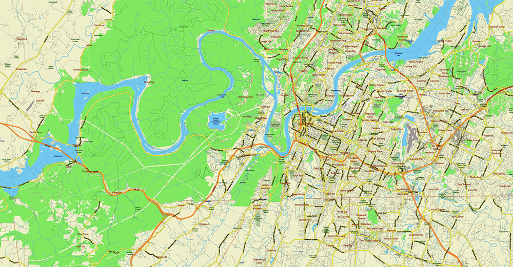
Tornado Area Vector Map: South Kentucky and Northwest Tennessee states US high detailed road map editable Adobe Illustrator
Tornado Area Vector Map: South Kentucky and Northwest Tennessee states US high detailed road map editable Adobe Illustrator
Tornado Area Vector Map: South Kentucky and Northwest Tennessee states US high detailed road map editable Adobe Illustrator

Tornado Area Vector Map: South Kentucky and Northwest Tennessee states US high detailed road map editable Adobe Illustrator
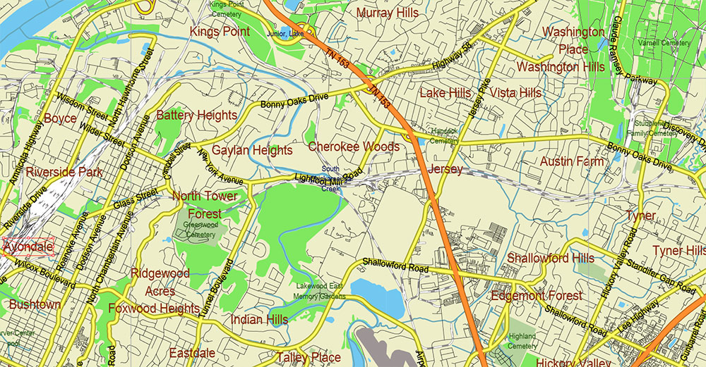
Tornado Area Vector Map: South Kentucky and Northwest Tennessee states US high detailed road map editable Adobe Illustrator
Tornado Area Vector Map: South Kentucky and Northwest Tennessee states US high detailed road map editable Adobe Illustrator
Tornado Area Vector Map: South Kentucky and Northwest Tennessee states US high detailed road map editable Adobe Illustrator
Tornado Area Vector Map: South Kentucky and Northwest Tennessee states US high detailed road map editable Adobe Illustrator
Tornado Area Vector Map: South Kentucky and Northwest Tennessee states US high detailed road map editable Adobe Illustrator
Tornado Area Vector Map: South Kentucky and Northwest Tennessee states US high detailed road map editable Adobe Illustrator

Tornado Area Vector Map: South Kentucky and Northwest Tennessee states US high detailed road map editable Adobe Illustrator

Tornado Area Vector Map: South Kentucky and Northwest Tennessee states US high detailed road map editable Adobe Illustrator
Tornado Area Vector Map: South Kentucky and Northwest Tennessee states US high detailed road map editable Adobe Illustrator

Tornado Area Vector Map: South Kentucky and Northwest Tennessee states US high detailed road map editable Adobe Illustrator
Tornado Area Vector Map: South Kentucky and Northwest Tennessee states US high detailed road map editable Adobe Illustrator
Tornado Area Vector Map: South Kentucky and Northwest Tennessee states US high detailed road map editable Adobe Illustrator
Tornado Area Vector Map: South Kentucky and Northwest Tennessee states US high detailed road map editable Adobe Illustrator
Tornado Area Vector Map: South Kentucky and Northwest Tennessee states US high detailed road map editable Adobe Illustrator

 Author: Kirill Shrayber, Ph.D. FRGS
 + Admin Areas editable Adobe Illustrator in layers")
 + Admin Areas + Relief Shaded Raster, editable Adobe Illustrator in layers")
