


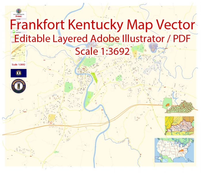
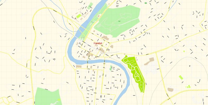
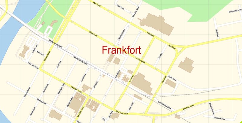
Printable PDF Vector Map of Frankfort Kentucky US detailed City Plan scale 1:3692 full editable Adobe PDF Street Map in layers, scalable, text format all names, 21 MB ZIP
All street names, Main Objects, Buildings. Map for design, printing, arts, projects, presentations, for architects, designers, and builders, business, logistics.
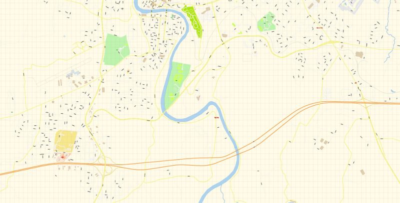
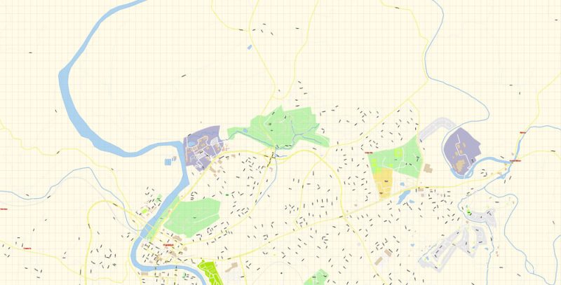
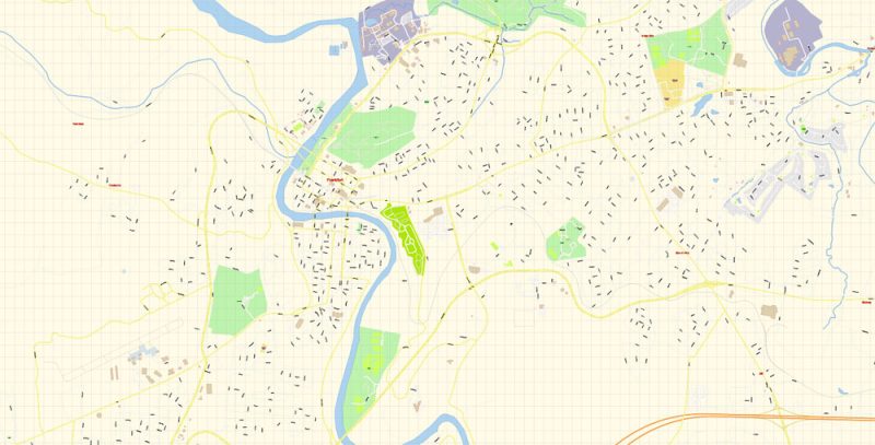
Layers: color_fills, water, streets_roads, labels_roads, names_objects, names_streets, names_places, arrows_streets, buildings, grids, legend, etc.
The most exact and detailed map of the city in scale.
For Editing and High-Quality Printing
- Instant download after payment
- Commercial use license included (full)
- Operated by SolCity Nav LLC (DE, USA)
You can use this map in commercial projects, prints, media, and client work.

 Author: Kirill Shrayber, Ph.D. FRGS
 + Admin Areas editable Adobe Illustrator in layers")
 + Admin Areas + Relief Shaded Raster, editable Adobe Illustrator in layers")
