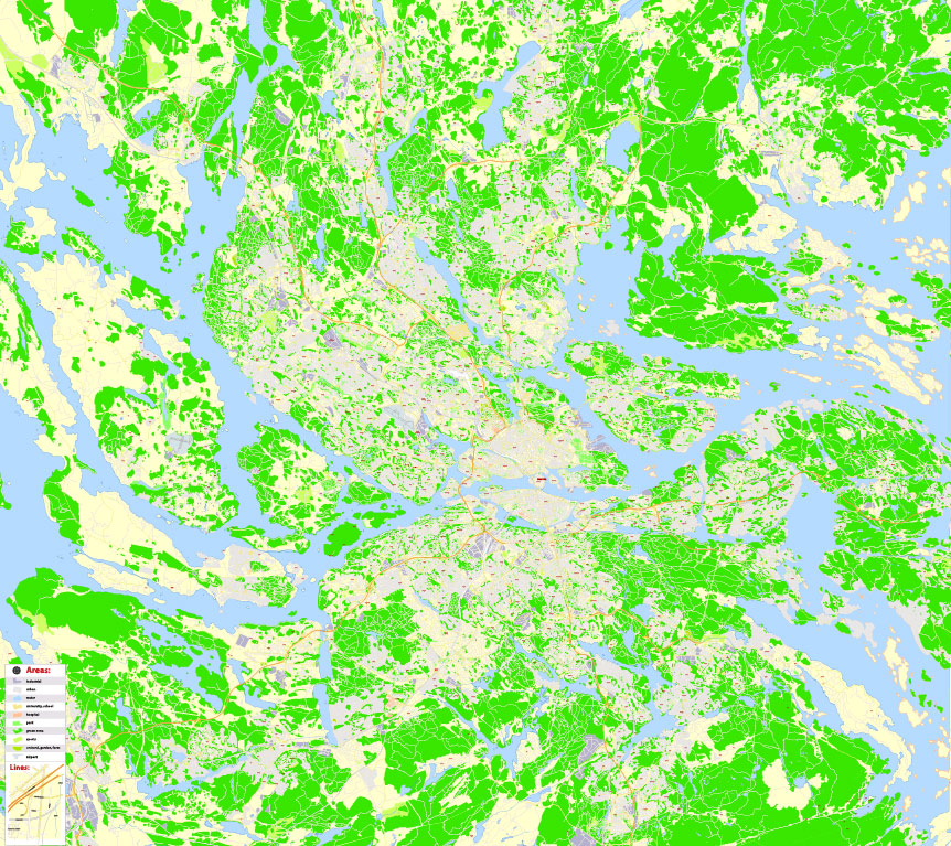
Printable PDF Stockholm Map Vector Sweden exact detailed City Plan 100 m scale V.28.21 editable Street Map Adobe PDF, full vector, scalable, editable text format of street names, 105 Mb ZIP.
All streets named, main objects Map for publishing, design, printing, publications, arts, projects, presentations, for architects, designers and builders, business, logistics. The most exact and detailed map of the city.
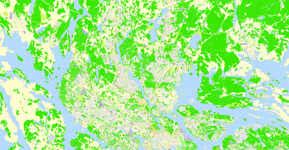
For printing LARGE (WALL) format
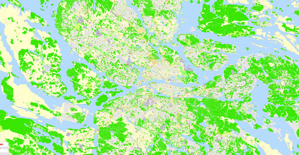
Separated layers: streets and roads, color fills, road labels, names types 1,2,3, street arrows, objects, scales, legend.
DWG, DXF, CDR, ESRI Shapes, and other formats – by request, same price, please contact.
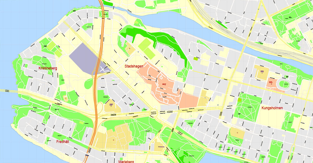
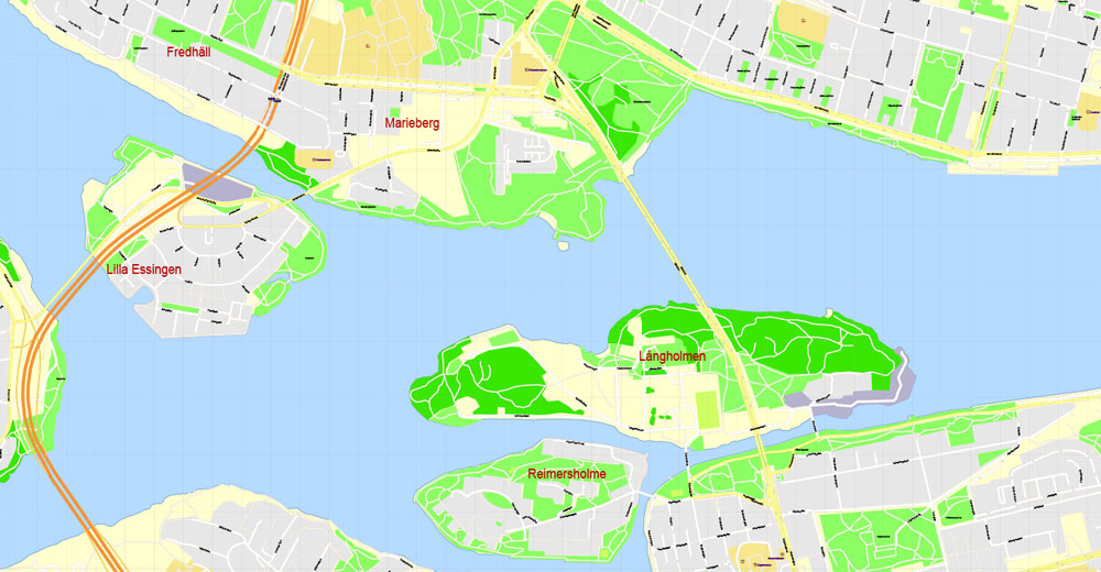
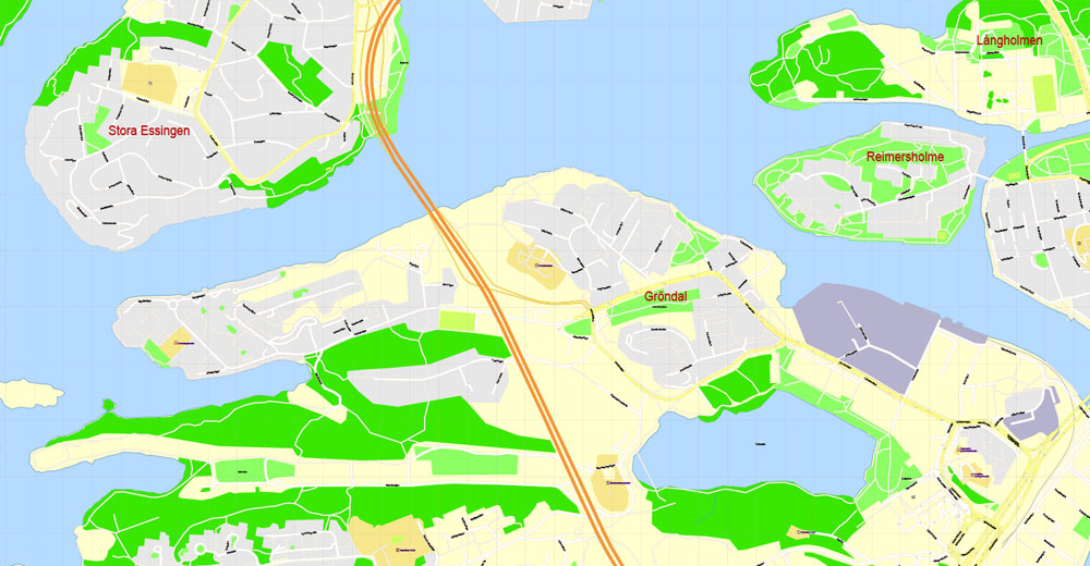
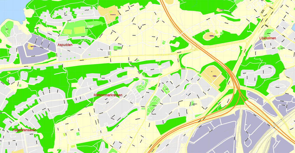
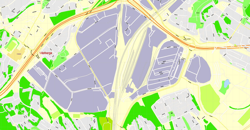
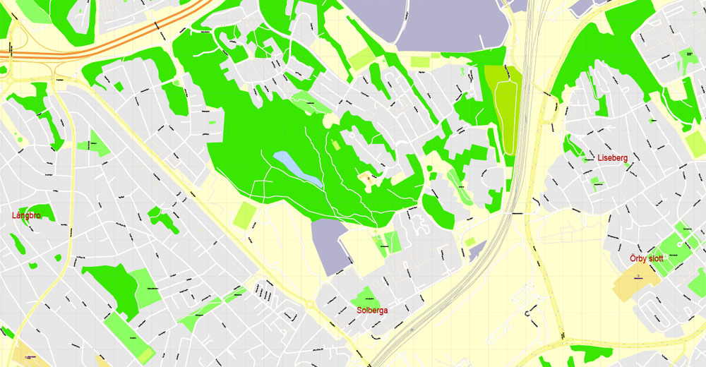
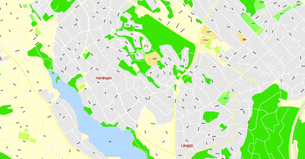
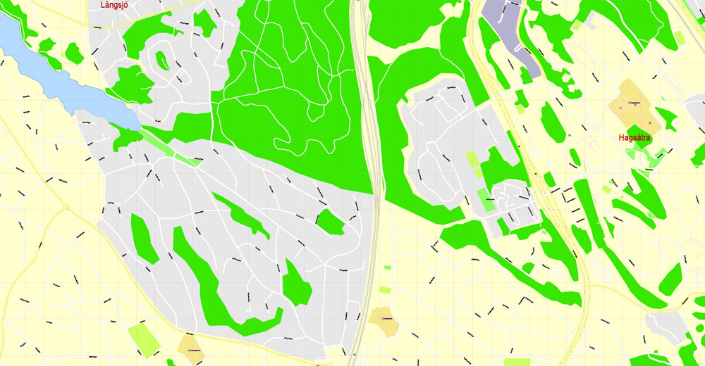
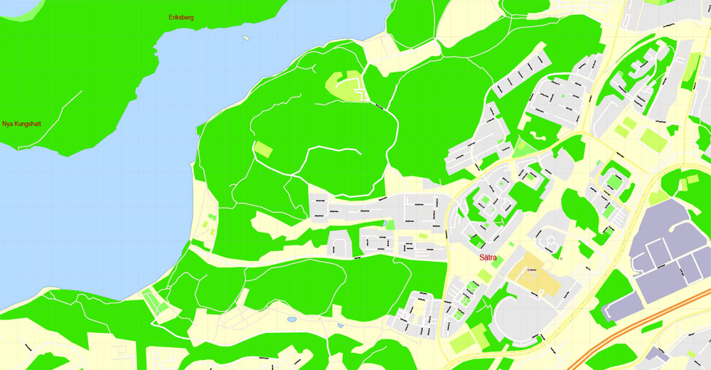
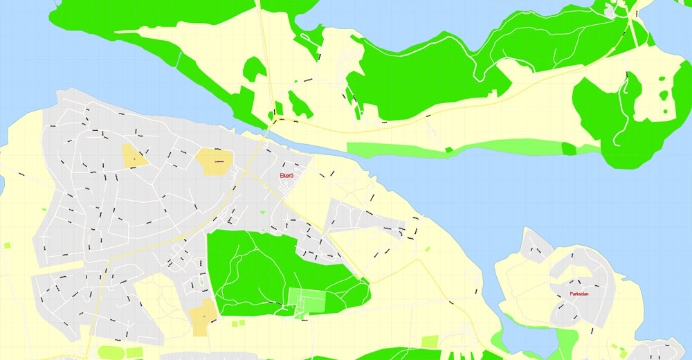
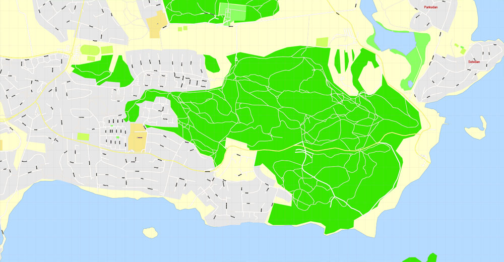
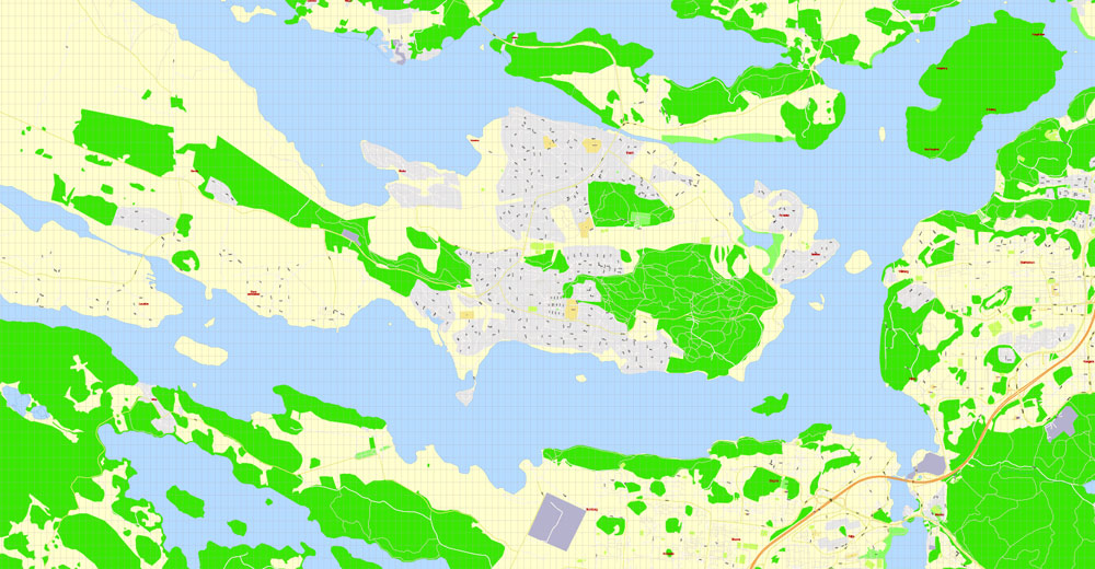
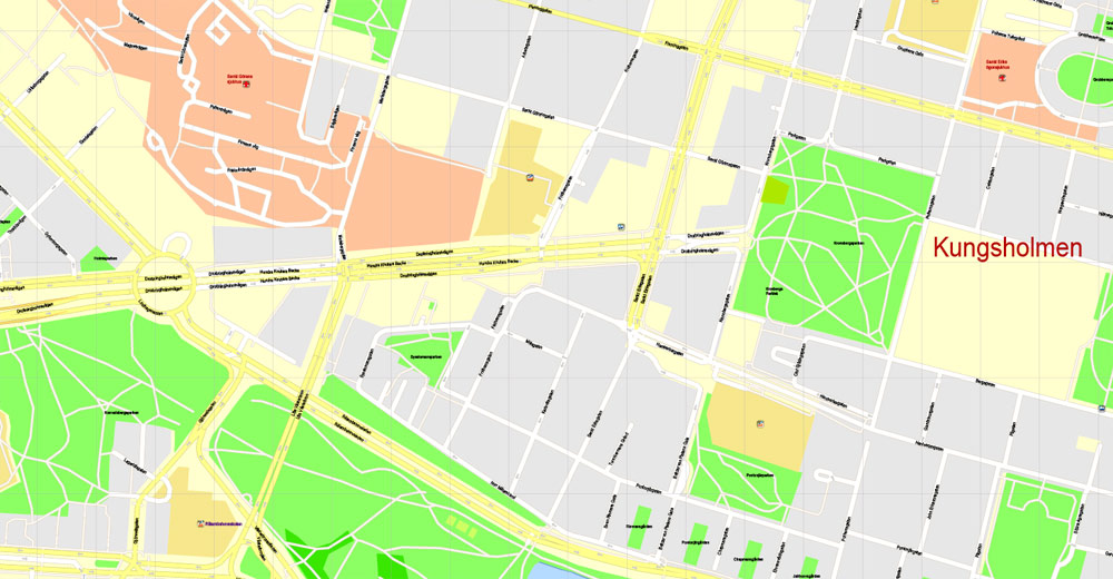
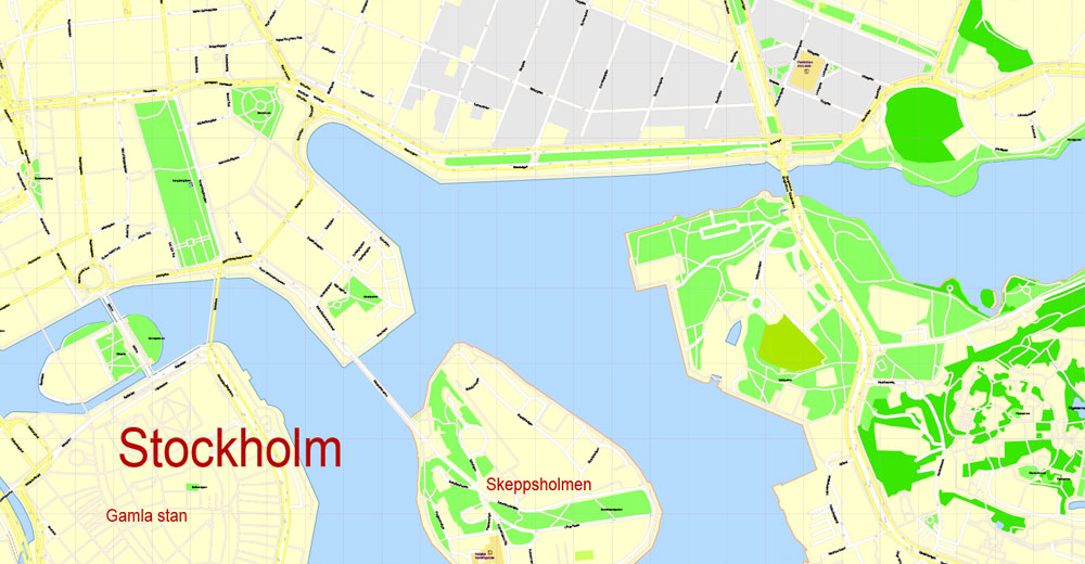
Stockholm, Sweden.
Stockholm is the capital of Sweden and the most populous city in the Nordic countries; 960,031 people live in the municipality, approximately 1.5 million in the urban area.
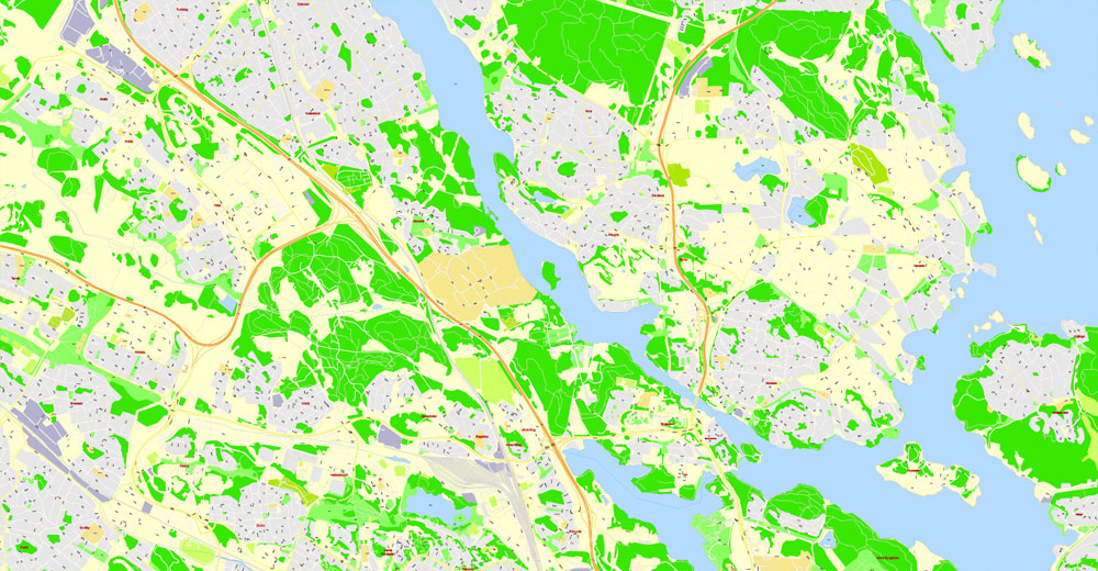
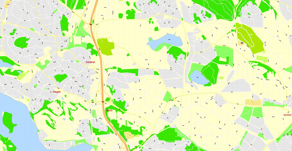
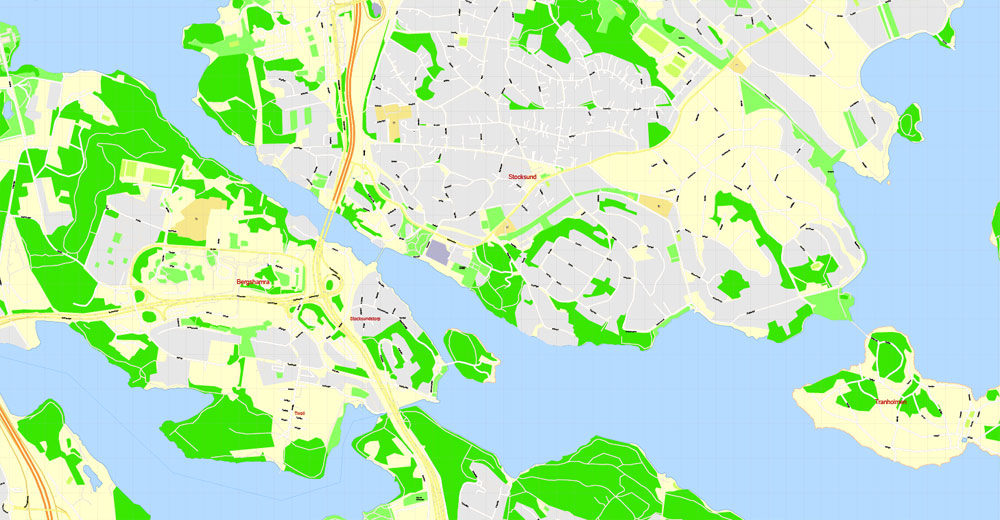
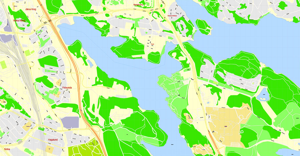
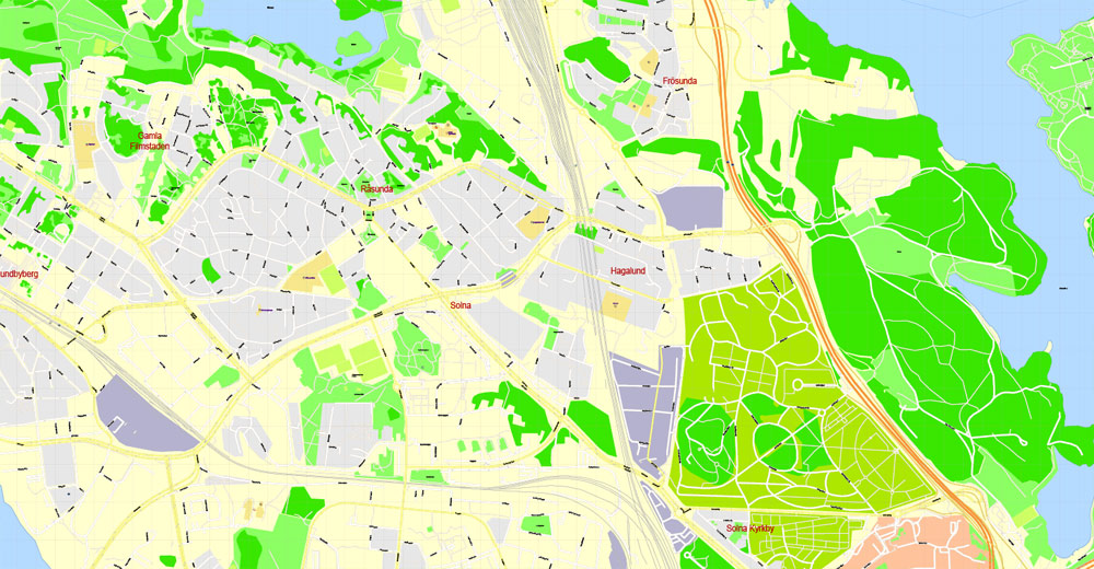
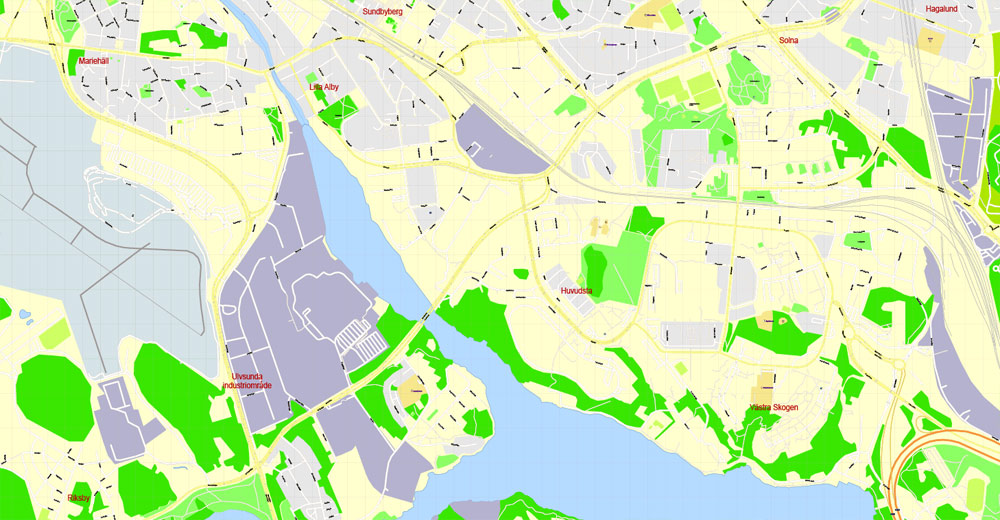
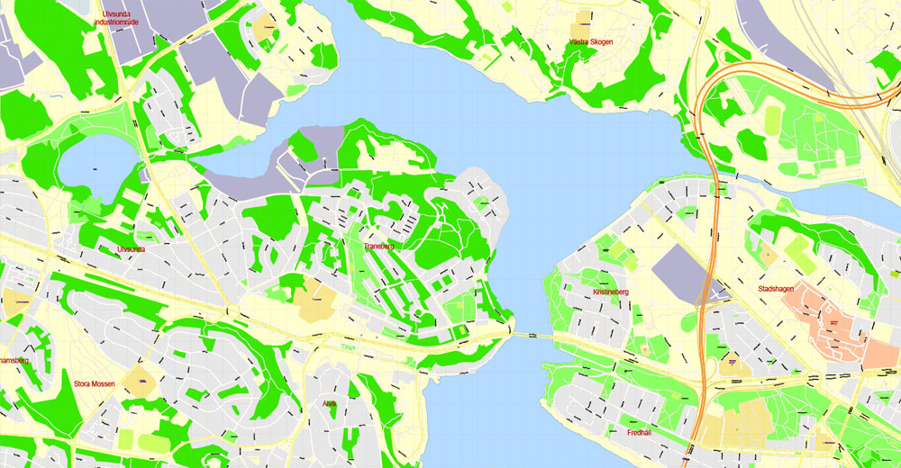
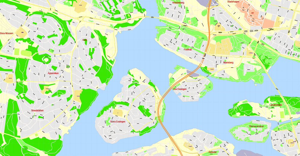
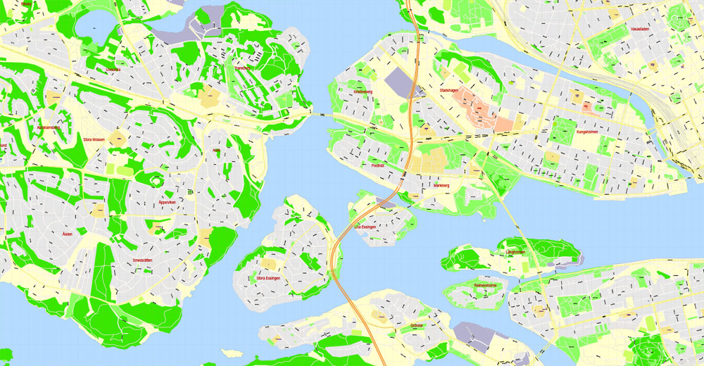
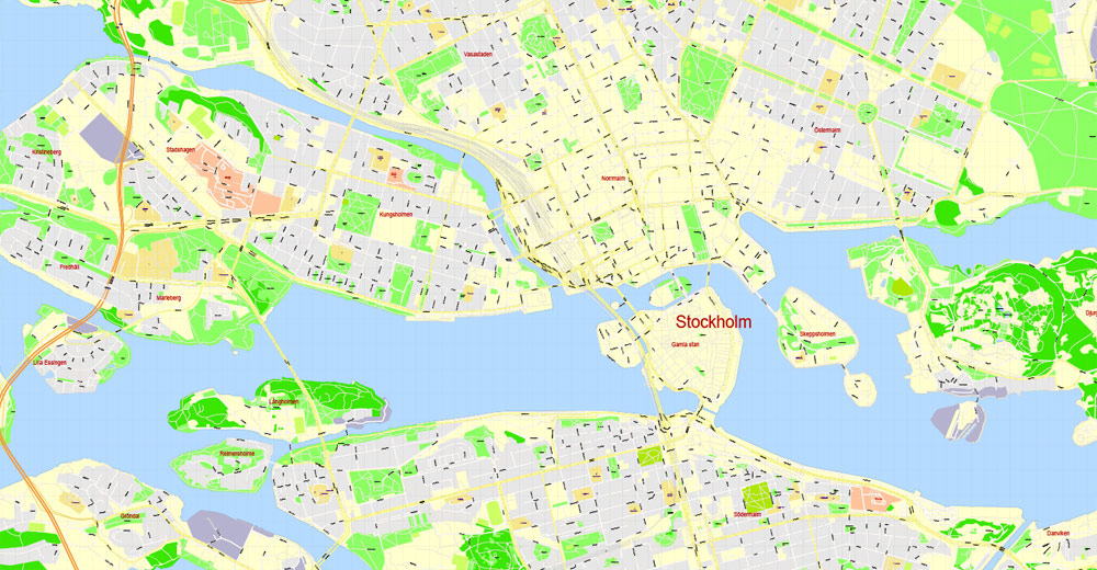
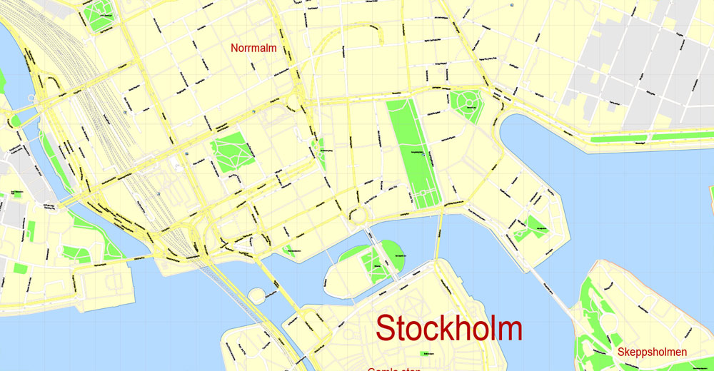
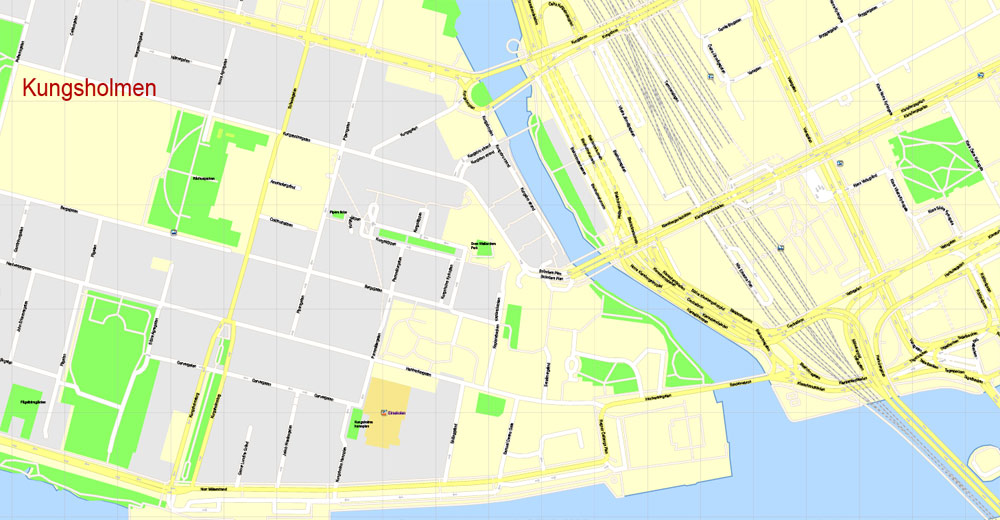
This vector map of Stockholm city is used as a basis for design, editing, and further printing.
This is the most detailed, exact map of Stockholm city for high-quality printing and polygraphy. You can always clarify the map development date by contacting us.
For your convenience, all objects on Stockholm vector city map are divided into layers. And the editing is very easy – colors, lines, etc.
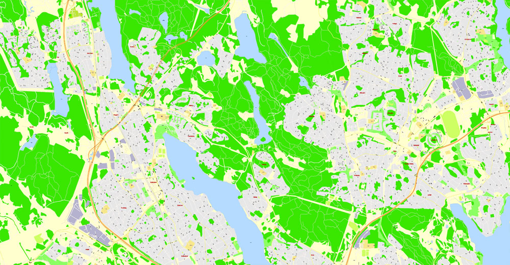
You can easily add any objects needed (e.g. shops, salons, sale points, gas station or attraction) on any layer of Stockholm vector map.
Lakes and watercourses
The access to fresh water is excellent in Stockholm today, in contrast to the historically horrible state of things, when lakes and watercourses were used as refuse dumps and latrines, causing epidemic cholera and many other diseases. By the 1860s things changed, as water fetched from Årstaviken, the waters south of Södermalm, was treated in the first water-purifying plant at Skanstull and from there distributed through water mains.
One of the advantages of Stockholm city vector maps of our production is the relevance of cartographic data, we constantly update all our products.
This vector map of Stockholm city is used by:
designers, layout designers, printers, advertisers and architects. Our product – vector maps – is designed for further editing and printing in large formats – from @Wall format (a few meters) to A-0 and A-1, A-2, A-3.
The Stockholm city map in vector format is used for design, urban planning, presentations and media visualizations.
The advertising and presentation map of Stockholm city (usually the final designer marks the routes, and puts the client’s objects (shops, saloons, gas stations etc.)
The undoubted advantage is that people will NEVER throw out this advertising product – the map. In fact, as an advertising medium, a city map is the most “long-playing” of the well-known polygraphic advertising media, with the longest lifespan, and the maximum number of interactions with the customer.
For travelers, maps are sold at the airports and gas stations around the world. Often the source is our vector maps.
Take a look, who purchases our vector maps of Stockholm city in “Our Clients and Friends” page – these are large and small companies, from super-brands like Volvo and Starbucks, to small design studios and printing houses.
It’s very easy to work with vector maps of Stockholm city, even for a not very experienced designer who can turn on and off the map layers, add new objects, change the colors of fill and lines according to customer requirements.
The undoubted advantage of Stockholm city vector maps in printing is an excellent and detailed visualization, when customer can expand a large paper map and instantly define his location, find a landmark, an object or address on map, unlike using the popular electronic formats of Google and Yandex maps for example.
Printable vector maps of Stockholm city are much more convenient and efficient than any electronic maps on your smartphone, because ALL DETAILS are displayed in the entire space of Stockholm city map.
In modern times the city gets its water from Lake Mälaren purified by plants at Norsborg and Lovön, together producing 350,000 m³ per day, which means Stockholmers are consuming 200 litres per day on average. Water is purified at three plants at Bromma, Henriksdal and Loudden, together filtering some 400,000 m³ sewage per day from pollution, including nitrogen and phosphorus, before discharging it into the Baltic Sea.
Levels of several pollutants in lakes in the central parts of the city, especially on the western side, are far above average, including substances such as cadmium, copper, mercury, and lead. Decreasing usage of several of these substances has reduced these levels in the upper sediments of the lakes.
Useful tips on working with vector maps of cities and countries in Adobe Illustrator.
«V» – launches the Selection tool (cursor, black arrow), which makes active any vector line.
«А» – launches the Direct Selection tool (white cursor), allows you to select curve elements and drag them to the desired place.
«R» – activates the Rotate tool, which helps you rotating selected objects around the center point by 360 degrees.
«E» – gives you the opportunity to use the Eraser tool and erase unnecessary parts.
«X» – switches between Fill and Stroke in the Tools section. Try to get used to this hot key and
you will quickly understand that you can’t live and work without it.
Guides are not limited to vertical and horizontal in Adobe Illustrator. You can also create a diagonal guide for example. Moreover, you can turn any contours into guides. Select the outline and go to View > Guides > Make Guides (Create Guides), or simply press Cmd/Ctrl + 5. You can also turn the guides back into an editable object. Go to menu, View > Guides > Unlock Guides (Release Guides), select the guide you want to edit and select View > Guides > Release Guides (Reset Guides), or just press Cmd/Ctrl + Option / Alt + 5).
You will probably want to change the color scheme used on our Stockholm vector city map.
To quickly and effectively play with colors.
Of course, you can do it manually, all objects in our Stockholm city vector map are divided according to types and layers, and you can easily change the color gamma of vector objects in groups and layers.
But there is more effective way of working with the whole VECTOR MAP of Stockholm city and all layers:
The overview dialog «Edit colors»/«Repaint Graphic Object» (this dialog box name can change depending on the context):
If you have selected a part or a layer of Stockholm city vector map and open the dialog box by clicking the icon in the Control panel, on the Samples palette or the Color Catalog, or if you choose Edit > Edit Colors> Repaint Graphic Object, then the «Repaint Graphic Object» dialog box appears, and you get access to «Assign» and «Edit» tabs.
The Stockholm area used to contain a lot more lakes and watercourses than it does today, much due to post-glacial rebound, but also because of lake reclaims for settlements and health. Historical lakes, such as Fatburssjön on Södermalm and Träsket on Norrmalm, were filthy, stinking, and associated with the high mortality in Stockholm until the late 19th century. Other historical lakes, like Packartorgsviken and its interior part Katthavet, were filled with mud and equally stinky. Other lakes still present today were once much larger – such as Magelungen, Drevviken, Judarn, and Råstasjön – while some bays of today once were proper lakes – Brunnsviken and Hammarby sjö.
If a picture or a map fragment is not selected, and you open the dialog box by clicking the icon in the Control panel, on the Samples palette or in the Color Catalog, the «Edit Colors» dialog box appears and you can only access the «Edit» tab.
Regardless of the name at the top of the dialog box, the right-hand side always displays the color group of the current document, as well as two default color groups: Print Color and Grayscale. These color groups can be selected and used any time.
Create and edit color groups of Stockholm city vector map, and also assign colors using the «Edit Colors»/ а «Repaint Graphic Object» dialog box.
A. Creating and editing of a color group on the «Edit» tab
B. Assigning colors on the «Assign» tab
C. Select a group of colors from the «Color groups» list
The option «Repaint a graphic object» in the lower part of the dialog box allows you to preview the colors on a selected layer of Vector map, or a group of elements, and specify whether its colors will be redefined when the dialog box is closed.
The main areas of the dialog box are:
«Edit»
The «Edit» tab is designed to create a new or edit the existing color groups.
The harmony rules Menu and the Color Wheel are used to conduct experiments with color harmonies. The color wheel shows how colors are related in color harmony, and the color bars allow you to view and manipulate an individual color values. In addition, you can adjust the brightness, add and remove colors, save color groups and view colors on the selected Vector Map of Stockholm city or a separated layers.
«Assign»
The «Assign» tab is used to view and control on how the original colors are replaced with colors from the color group like your corporate colors in the Vector Map of Stockholm city.
The assign color ability is provided only if the entire map, layer or fragment is selected in the document. You can specify which of new colors replace the current colors, whether the spot colors should be preserved and how colors are replaced (for example, you can replace colors completely or changing the color tone while maintaining the brightness). The «Assign» tab allows you to redefine colors in the Vector Map of Stockholm city, or in separate layers and fragments using the current color group or reducing the number of colors in the current Vector Map.
Color groups
Is a list of all saved color groups for current document (the same groups appear in the «Samples» palette). You can edit and delete the existing color groups, as well as creating a new ones using the list of “Color Groups” in the dialog box. All changes appear in the «Samples» palette.
The highlighted color group shows, which color group is currently edited.
Any color group can be selected and edited, or used to redefine the colors in the selected vector map of Stockholm city, its fragments or elements.
Saving a color group adds this group to the specified list.
Opening the «Edit Colors»/«Repaint Graphic Object» dialog box.
Open the «Edit Colors»/«Repaint Graphic Object» dialog box using one of the following methods:
«Edit»> «Edit Colors»> «Repaint Graphic object» or «Repaint With Style».
Use these commands if you need to edit the colors in the selected vector map of Stockholm city.
«Repaint Graphic object» button on the «Control» panel.
Use this button if you need to adjust colors of Stockholm city vector map using the а «Repaint graphic object» dialog box.
The specified button is available if the selected vector map or its fragment contains two or more colors.
Note. This color editing method is convenient for global color adjustment in a vector map, if global colors were not used when creating a City Map of Stockholm.
The «Edit colors» button or «Edit or apply colors» on the «Color Catalog» palette
Click this button if you need to edit colors on the «Color Catalog» palette or edit and then apply them to the selected Vector Map of Stockholm city or its fragment.
The «Edit color group» button or «Edit or apply color group» on the «Samples» palette.
Click this button if you need to edit the colors in the specific color group or edit and apply them to the selected Vector Map of Stockholm city or a group of its elements, for example, the whole layer “Streets and lines”. You can also double-click the color group in the Samples panel to open the dialog box.
If the map file is too large and your computer freezes or even can’t open it quickly:
1. Try to reduce the color resolution of the video card (display) to 256 colors while working with a large map.
2. Using Windows Task Manager, select all the application you don’t need, while working with map, just turn them off.
3. Launch Adobe Illustrator. (DO NOT OPEN the vector map file)
4. Start the Windows Task Manager using administrator rights > Find the “Illustrator” process > set the «real time» priority,
5. Open the file. When you see the LEGACY FONT popup window – click “OK” (do not update). You can restore the TEXT later.
6. Can also be useful: When file is opened – Edit > Settings > Basic Settings > disable smoothing. /// It looks scary, but works quickly)))
We recommend saving the file in Adobe Illustrator 10 version. It’s much more stable when working with VERY BIG size files.
Like in many other urban areas, the lakes of Stockholm are directly affected by the city’s sewer system and pollution from settlements, traffic, and industry. Sewers often reduce the catchment areas of smaller lakes by redirecting surface water to Lake Mälaren or Lake Saltsjön. While nutritious substances such as phosphorus and nitrogen are mostly derived from agriculture, urban areas produce high amounts of metals and organic compounds. In Stockholm, this mostly applies to central bays – such as Klara sjö, Årstaviken, Ulvsundasjön, Riddarfjärden, and Hammarby Sjö – but also waters surrounded by bungalows and villas – like Långsjön in Älvsjö. and 2.3 million in the metropolitan area. The city stretches across fourteen islands where Lake Mälaren flows into the Baltic Sea. Just outside the city and along the coast is the island chain of the Stockholm archipelago. The area has been settled since the Stone Age, in the 6th millennium BC, and was founded as a city in 1252 by Swedish statesman Birger Jarl. It is also the capital of Stockholm County. Stockholm is the only capital in the world with a national urban park.
Stockholm is the cultural, media, political, and economic centre of Sweden. The Stockholm region alone accounts for over a third of the country’s GDP, and is among the top 10 regions in Europe by GDP per capita. It is an important global city, and the main centre for corporate headquarters in the Nordic region. The city is home to some of Europe’s top ranking universities, such as the Stockholm School of Economics, Karolinska Institute and Royal Institute of Technology (KTH). It hosts the annual Nobel Prize ceremonies and banquet at the Stockholm Concert Hall and Stockholm City Hall. One of the city’s most prized museums, the Vasa Museum, is the most visited non-art museum in Scandinavia. The Stockholm metro, opened in 1950, is well known for the decor of its stations; it has been called the longest art gallery in the world. Sweden’s national football arena is located north of the city centre, in Solna. Ericsson Globe, the national indoor arena, is in the southern part of the city. The city was the host of the 1912 Summer Olympics, and hosted the equestrian portion of the 1956 Summer Olympics otherwise held in Melbourne, Victoria, Australia.
Stockholm is the seat of the Swedish government and most of its agencies, including the highest courts in the judiciary, and the official residencies of the Swedish monarch and the Prime Minister. The government has its seat in the Rosenbad building, the Riksdag (Swedish parliament) is seated in the Parliament House, and the Prime Minister’s residence is adjacent at Sager House. Stockholm Palace is the official residence and principal workplace of the Swedish monarch, while Drottningholm Palace, a World Heritage Site on the outskirts of Stockholm, serves as the Royal Family’s private residence.
Geography of Stockholm
The City of Stockholm is situated on fourteen islands and on the banks to the archipelago where Lake Mälaren meets the Baltic Sea. The city centre is virtually situated on the water.
The area of Stockholm is one of several places in Sweden with a joint valley terrain. In these landscapes erosion along geological joints has split the flattish upper surfaces into low-lying plateaus. In the case of Stockholm the plaeteau surfaces are remnants of the Sub-Cambrian peneplain.
The access to fresh water is excellent in Stockholm today, in contrast to the historically horrible state of things, when lakes and watercourses were used as refuse dumps and latrines, causing epidemic cholera and many other diseases. By the 1860s things changed, as water fetched from Årstaviken, the waters south of Södermalm, was treated in the first water-purifying plant at Skanstull and from there distributed through water mains.
In modern times the city gets its water from Lake Mälaren purified by plants at Norsborg and Lovön, together producing 350,000 m³ per day, which means Stockholmers are consuming 200 litres per day on average. Water is purified at three plants at Bromma, Henriksdal and Loudden, together filtering some 400,000 m³ sewage per day from pollution, including nitrogen and phosphorus, before discharging it into the Baltic Sea.
Levels of several pollutants in lakes in the central parts of the city, especially on the western side, are far above average, including substances such as cadmium, copper, mercury, and lead. Decreasing usage of several of these substances has reduced these levels in the upper sediments of the lakes.
The Stockholm area used to contain a lot more lakes and watercourses than it does today, much due to post-glacial rebound, but also because of lake reclaims for settlements and health. Historical lakes, such as Fatburssjön on Södermalm and Träsket on Norrmalm, were filthy, stinking, and associated with the high mortality in Stockholm until the late 19th century. Other historical lakes, like Packartorgsviken and its interior part Katthavet, were filled with mud and equally stinky. Other lakes still present today were once much larger – such as Magelungen, Drevviken, Judarn, and Råstasjön – while some bays of today once were proper lakes – Brunnsviken and Hammarby sjö.
Like in many other urban areas, the lakes of Stockholm are directly affected by the city’s sewer system and pollution from settlements, traffic, and industry. Sewers often reduce the catchment areas of smaller lakes by redirecting surface water to Lake Mälaren or Lake Saltsjön. While nutritious substances such as phosphorus and nitrogen are mostly derived from agriculture, urban areas produce high amounts of metals and organic compounds. In Stockholm, this mostly applies to central bays – such as Klara sjö, Årstaviken, Ulvsundasjön, Riddarfjärden, and Hammarby Sjö – but also waters surrounded by bungalows and villas – like Långsjön in Älvsjö.
Stockholm
Capital of Sweden
Stockholm, the capital of Sweden, encompasses 14 islands and more than 50 bridges on an extensive Baltic Sea archipelago. The cobblestone streets and ochre-colored buildings of Gamla Stan (the old town) are home to the 13th-century Storkyrkan Cathedral, the Kungliga Slottet Royal Palace and the Nobel Museum, which focuses on the Nobel Prize. Ferries and sightseeing boats shuttle passengers between the islands.
Area
• City 188 km2 (73 sq mi)
• Urban 381.63 km2 (147.35 sq mi)
• Metro 6,519 km2 (2,517 sq mi)
Elevation 0 m (0 ft)
Population
• City 932,917
• Density 5,000/km2 (13,000/sq mi)
• Urban 1,515,017
• Urban density 3,597/km2 (9,320/sq mi)
• Metro 2,226,795
• Metro density 340/km2 (880/sq mi)
Free vector maps:

Free download printable map Europe vector Adobe Illustrator >>>
Free download printable PDF map Europe vector Adobe PDF >>>
See also: Other maps of Sweden >>>>>
Small guide: How to work with the vector map?
You can: Mass select objects by type and color – for example, the objects type “building” (they are usually dark gray) – and remove them from the map, if you do not need them in your print or design project. You can also easily change the thickness of lines (streets), just bulk selection the road by the line color.
The streets are separated by type, for example, type “residential road” are usually white with a gray stroke. Highway usually orange with a brown or dark gray stroke.
It is easy to change the font of inscriptions, all or each individually. Also, just can be make and any other manipulation of objects on the vector map in Adobe illustrator format.
Important: All the proportions on the map are true, that is, the relative sizes of the objects are true, because Map is based on an accurate GPS projection, and It transated into the (usual for all) the Mercator projection.
You can easily change the color, stroke and fill of any object on the map, zoom without loss of quality Image Verification.


 Author: Kirill Shrayber, Ph.D. FRGS

