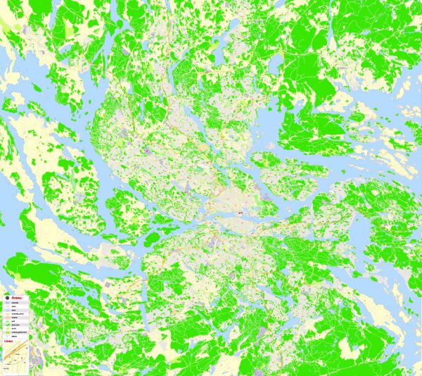
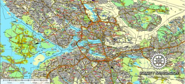
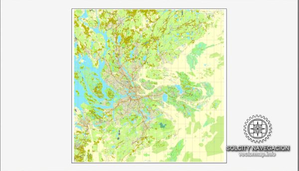
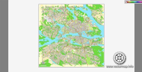
Stockholm, the capital city of Sweden, is built on 14 islands connected by numerous waterways and bridges. The city is situated at the point where Lake Mälaren flows into the Baltic Sea, and its unique geography contributes to its beauty and charm. Here is a brief description of some of Stockholm’s principal waterways, bridges, and main streets:
Waterways:
- Lake Mälaren: This freshwater lake is an integral part of Stockholm’s geography. The city spreads out onto its islands, and boat trips on the lake offer picturesque views of the cityscape.
- Baltic Sea: Stockholm is an archipelagic city located where Lake Mälaren meets the Baltic Sea. The sea influences the climate and offers opportunities for maritime activities.
- Riddarfjärden: This is a bay of Lake Mälaren located in central Stockholm. It separates the island of Riddarholmen from the rest of the city and provides a stunning waterfront setting.
Bridges:
- Vasabron: Connecting Norrmalm to Gamla Stan (the Old Town), Vasabron is a historic bridge with a beautiful view of the Royal Palace.
- Skeppsholmsbron: This bridge connects Blasieholmen to the island of Skeppsholmen. It is a pedestrian bridge with iconic golden crowns adorning its lampposts.
- Djurgårdsbron: Spanning the Djurgårdsbrunnskanalen, this bridge leads to Djurgården, a recreational island with parks and museums.
- Riksbron: Linking Norrmalm to Gamla Stan, Riksbron is a picturesque bridge that provides fantastic views of the Royal Palace and the Old Town.
Main Streets:
- Drottninggatan: One of Stockholm’s main shopping streets, Drottninggatan runs through the heart of Norrmalm and is lined with shops, cafes, and restaurants.
- Kungsgatan: Another major shopping street in Norrmalm, Kungsgatan is known for its upscale shops, theaters, and vibrant atmosphere.
- Västerlånggatan: Located in Gamla Stan, this charming cobblestone street is one of the oldest in Stockholm. It is lined with colorful buildings, boutiques, and cafes.
- Strandvägen: Running along the waterfront on Östermalm, Strandvägen is a boulevard known for its elegant architecture and upscale residences.
Stockholm’s layout and infrastructure make it a delightful city to explore, with its waterways, bridges, and streets contributing to the overall charm and character of the Swedish capital.
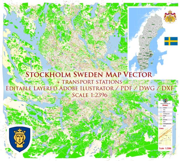
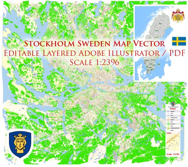
Vectormap.Net provide you with the most accurate and up-to-date vector maps in Adobe Illustrator, PDF and other formats, designed for editing and printing. Please read the vector map descriptions carefully.

 Author: Kirill Shrayber, Ph.D.