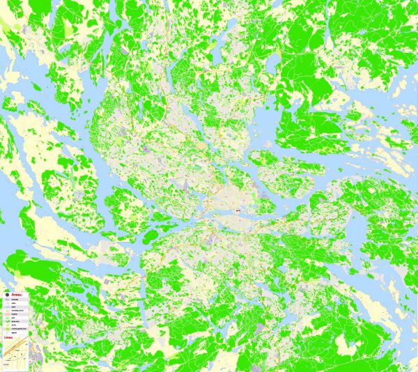
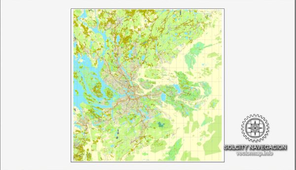
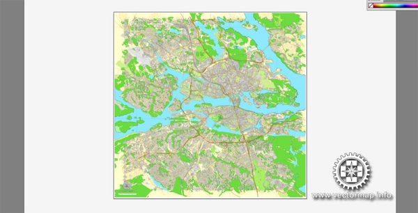
Stockholm, the capital city of Sweden, is known for its stunning archipelago, waterways, and well-planned urban layout.
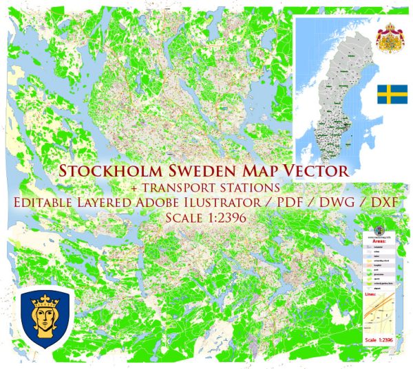
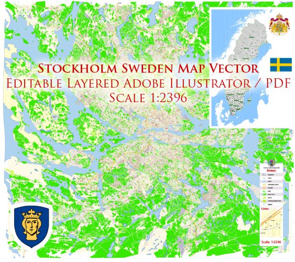
Vectormap.Net provide you with the most accurate and up-to-date vector maps in Adobe Illustrator, PDF and other formats, designed for editing and printing. Please read the vector map descriptions carefully.
Here’s a detailed description of the port, canals, main streets, and roads in Stockholm:
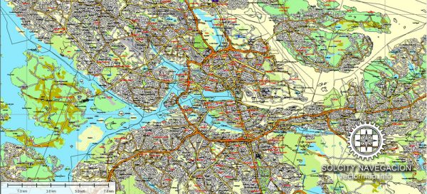
Port: Stockholm’s main port is strategically located on the eastern coast of Sweden, where Lake Mälaren meets the Baltic Sea. The port area is a hub for maritime activities and plays a crucial role in the city’s trade and transportation. The port facilities include terminals for both passenger and cargo ships, providing connections to domestic and international destinations. Värtahamnen and Frihamnen are two major passenger ports, while Norvik Port is a modern container terminal.
Canals: Stockholm is famously built on 14 islands connected by 57 bridges, which creates a network of picturesque canals and waterways. The most prominent canal is Djurgårdsbrunnskanalen, which runs through Djurgården, one of the central islands. This canal offers scenic boat tours and a charming waterfront atmosphere. Other canals, like the one in Gamla Stan (the Old Town), add to the city’s unique charm.
Main Streets and Roads:
- Drottninggatan: One of Stockholm’s main shopping streets, Drottninggatan, stretches through the heart of the city. It’s a pedestrian-friendly street lined with shops, cafes, and restaurants. Drottninggatan is in Norrmalm, one of the central districts.
- Sveavägen: Another major thoroughfare, Sveavägen, runs parallel to Drottninggatan. It is known for its vibrant atmosphere, with a mix of shops, theaters, and cultural attractions. Sveavägen is part of the city’s grid layout and is easily accessible.
- Strandvägen: This upscale boulevard is located along the waterfront of Östermalm. Lined with beautiful buildings and trees, Strandvägen is home to some of Stockholm’s most exclusive apartments and offers stunning views of the harbor.
- Vasagatan: Connecting the central station to Norrmalm, Vasagatan is a significant street with a mix of businesses, hotels, and restaurants. It serves as a major transportation artery and is often bustling with activity.
- Gamla Stan: Stockholm’s Old Town, Gamla Stan, is a charming area with narrow cobblestone streets and historic buildings. Streets like Västerlånggatan and Österlånggatan are filled with shops, cafes, and restaurants, making it a popular destination for both locals and tourists.
- Södermalm: The district of Södermalm has several main streets, including Götgatan and Hornsgatan. Södermalm is known for its trendy vibe, eclectic shops, and a lively nightlife scene.
- Essingeleden: This is a major motorway that connects various parts of Stockholm, including the island of Kungsholmen. It provides a key route for commuting and is an essential part of the city’s road network.
Overall, Stockholm’s layout is designed to embrace its natural surroundings, with water playing a central role in the city’s geography. The combination of canals, ports, and well-planned streets contributes to the city’s aesthetic appeal and functionality.

 Author: Kirill Shrayber, Ph.D.