Extended Description of the Vector Map
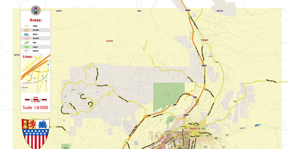
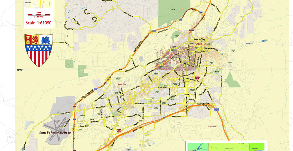
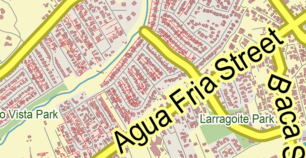
Printable PDF Vector Map of Santa Fe New Mexico US Low detailed (for small print size) City Plan scale 1:61050 full editable Adobe PDF Street Map in layers, scalable, text format all names, 8 MB ZIP
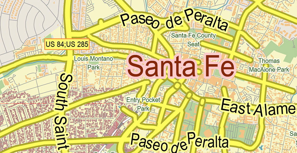
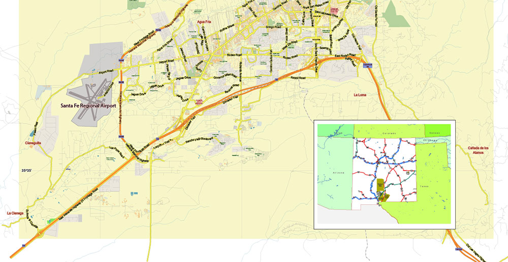
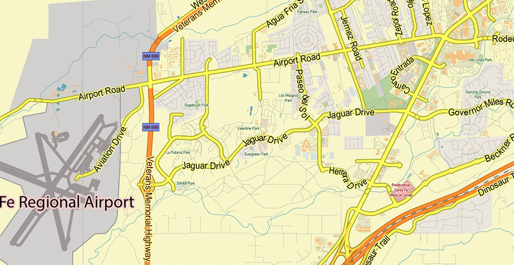
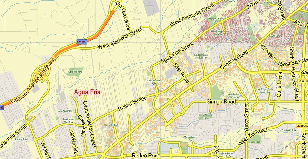
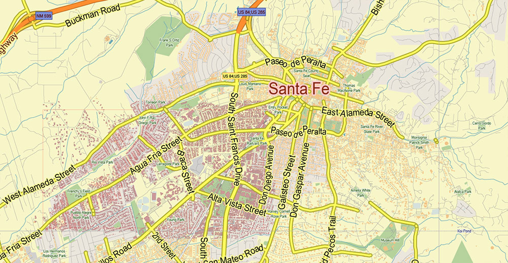
Principal street names, Main Objects, Buildings. Map for design, printing, arts, projects, presentations, for architects, designers, and builders, business, logistics.
Included: Additional layers (buildings 2), boundaries of lots (parts), simple map of New Mexico.
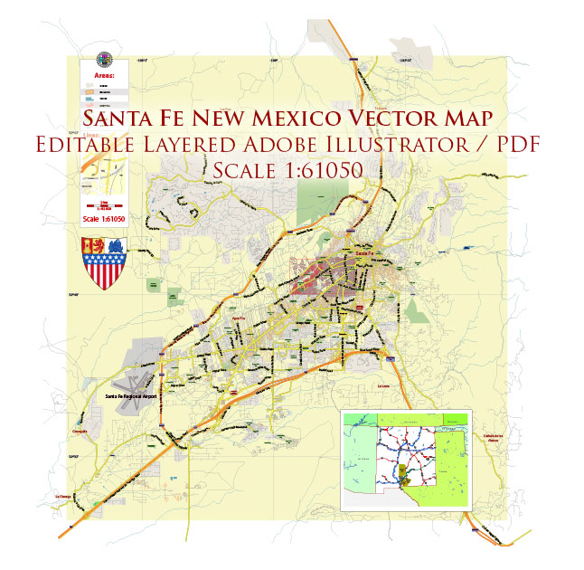
Santa Fe New Mexico US PDF Vector Map Exact City Plan LOW Detailed (for small print size) Street Map editable Adobe PDF in layers
Layers list:
- Legend
- Grids
- Labels of roads
- Names of places (city, hamlet, etc.)
- Names of objects (hospitals, parks, water)
- Names of main streets
- Main Streets, roads
- Civil streets
- Railroads
- Buildings
- Buildings 2
- Boundaries of lots (part)
- Halo names streets, objects, places
- Airports and heliports
- Water objects (rivers, lakes, ponds)
- Waterways
- Color fills (parks, hospital areas, land use, etc.)
- Background
Santa Fe New Mexico US PDF Vector Map Exact City Plan LOW Detailed (for small print size) Street Map editable Adobe PDF in layers
Santa Fe New Mexico US PDF Vector Map Exact City Plan LOW Detailed (for small print size) Street Map editable Adobe PDF in layers
Santa Fe New Mexico US PDF Vector Map Exact City Plan LOW Detailed (for small print size) Street Map editable Adobe PDF in layers
Santa Fe New Mexico US PDF Vector Map Exact City Plan LOW Detailed (for small print size) Street Map editable Adobe PDF in layers
Santa Fe New Mexico US PDF Vector Map Exact City Plan LOW Detailed (for small print size) Street Map editable Adobe PDF in layers
Santa Fe New Mexico US PDF Vector Map Exact City Plan LOW Detailed (for small print size) Street Map editable Adobe PDF in layers
Santa Fe New Mexico US PDF Vector Map Exact City Plan LOW Detailed (for small print size) Street Map editable Adobe PDF in layers
Santa Fe New Mexico US PDF Vector Map Exact City Plan LOW Detailed (for small print size) Street Map editable Adobe PDF in layers

 Author: Kirill Shrayber, Ph.D. FRGS

