Extended Description of the Vector Map
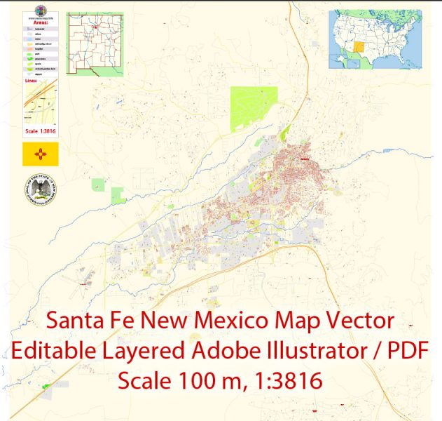
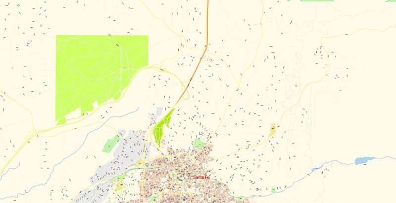
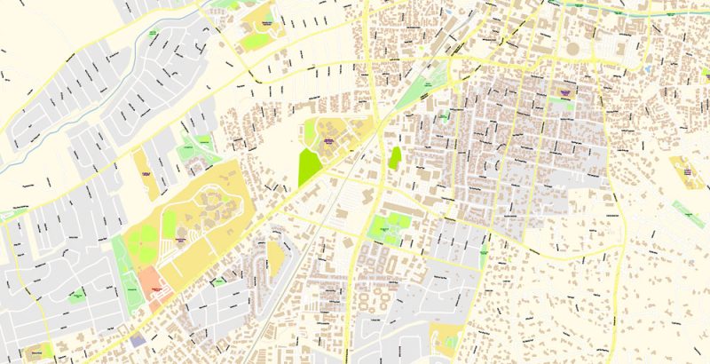
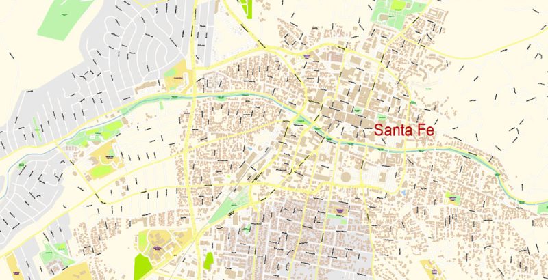
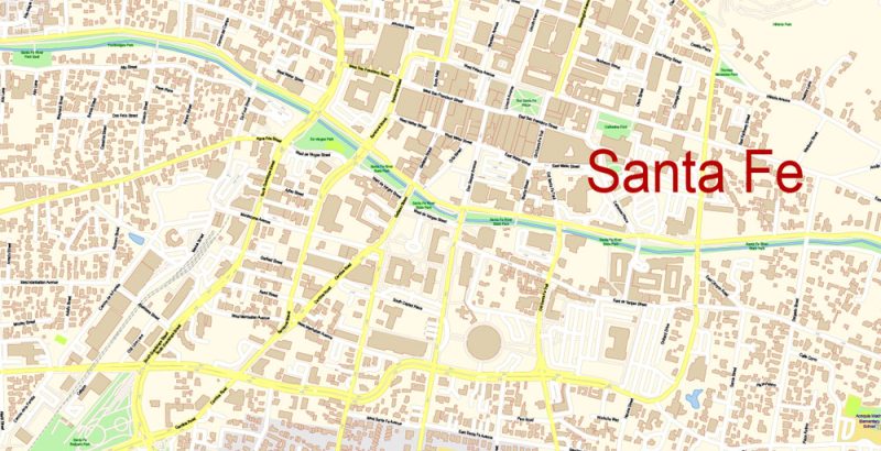
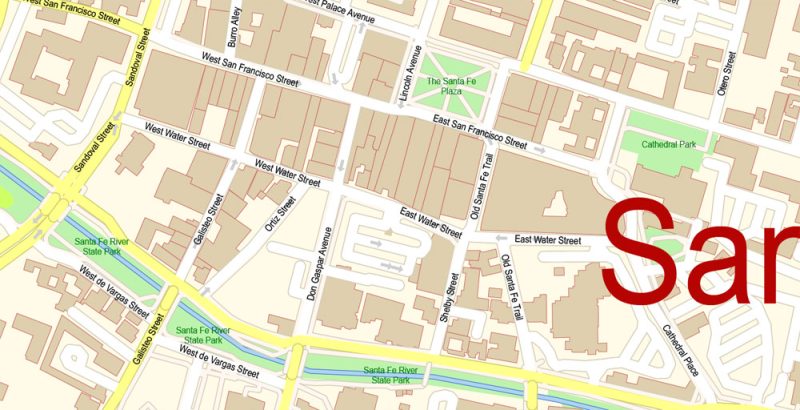
Printable Vector Map of Santa Fe New Mexico US detailed City Plan scale 100 m 1:3816 full editable Adobe Illustrator Street Map in layers, scalable, text format all names, 9 MB ZIP
All street names, Main Objects, Principal Buildings. Map for design, printing, arts, projects, presentations, for architects, designers, and builders, business, logistics.
Layers: color_fills, water, streets_roads, labels_roads, names_objects, names_streets, names_places, arrows_streets, buildings, grids, legend, etc.
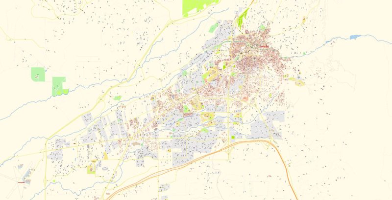
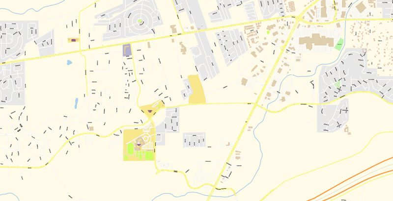
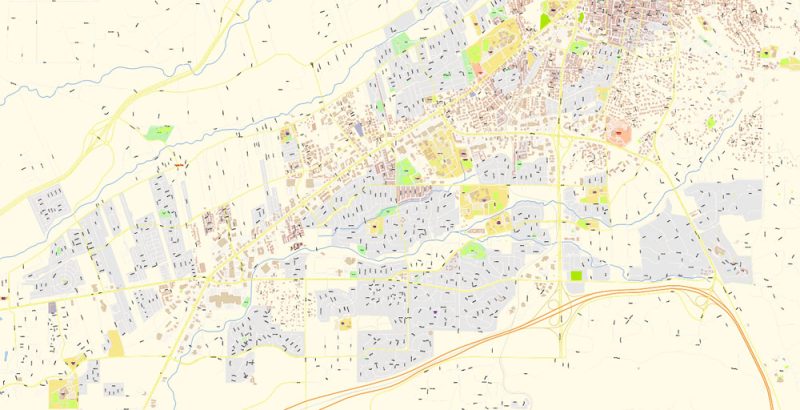
The most exact and detailed map of the city in scale.
For Editing and High-Quality Printing
Santa Fe
City in New Mexico
Santa Fe, New Mexico’s capital, sits in the Sangre de Cristo foothills. It’s renowned for its Pueblo-style architecture and as a creative arts hotbed. Founded as a Spanish colony in 1610, it has at its heart the traditional Plaza. The surrounding historic district’s crooked streets wind past adobe landmarks including the Palace of the Governors, now home to the New Mexico History Museum.
Elevation: 2,194 m
Population: 83,776
Santa Fe New Mexico Map Vector Exact City Plan detailed Street Map editable Adobe Illustrator in layers
Santa Fe New Mexico Map Vector Exact City Plan detailed Street Map editable Adobe Illustrator in layers
Santa Fe New Mexico Map Vector Exact City Plan detailed Street Map editable Adobe Illustrator in layers
Santa Fe New Mexico Map Vector Exact City Plan detailed Street Map editable Adobe Illustrator in layers
Santa Fe New Mexico Map Vector Exact City Plan detailed Street Map editable Adobe Illustrator in layers
Santa Fe New Mexico Map Vector Exact City Plan detailed Street Map editable Adobe Illustrator in layers
Santa Fe New Mexico Map Vector Exact City Plan detailed Street Map editable Adobe Illustrator in layers
Santa Fe New Mexico Map Vector Exact City Plan detailed Street Map editable Adobe Illustrator in layers
Santa Fe New Mexico Map Vector Exact City Plan detailed Street Map editable Adobe Illustrator in layers


 Author: Kirill Shrayber, Ph.D. FRGS

