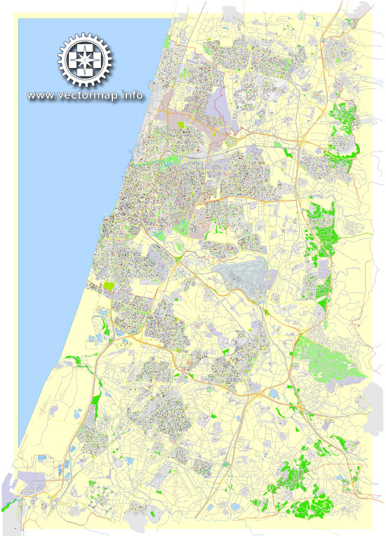
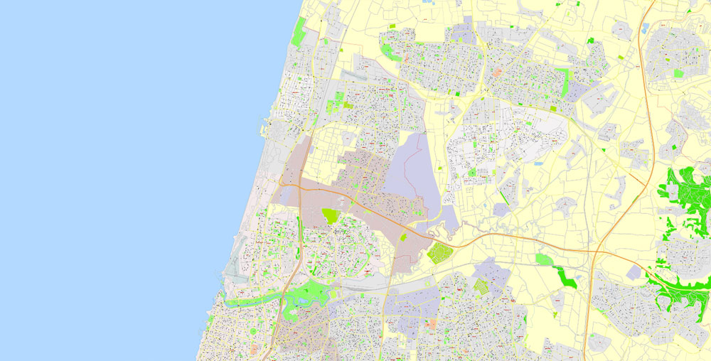
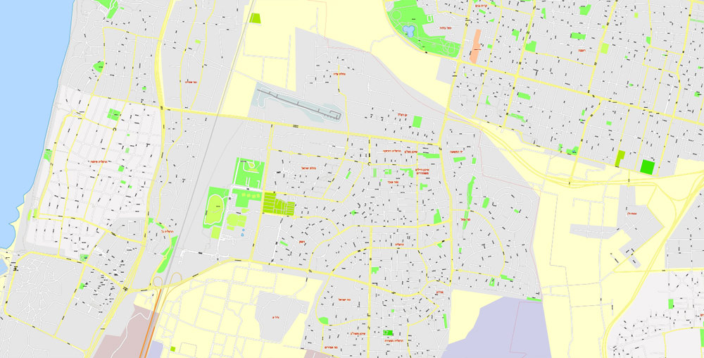
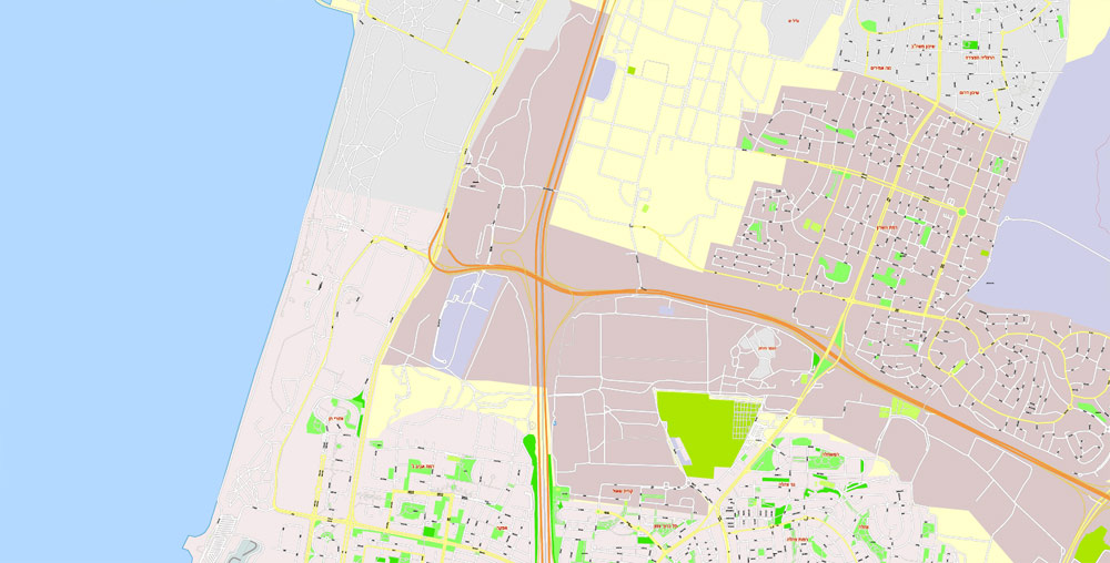
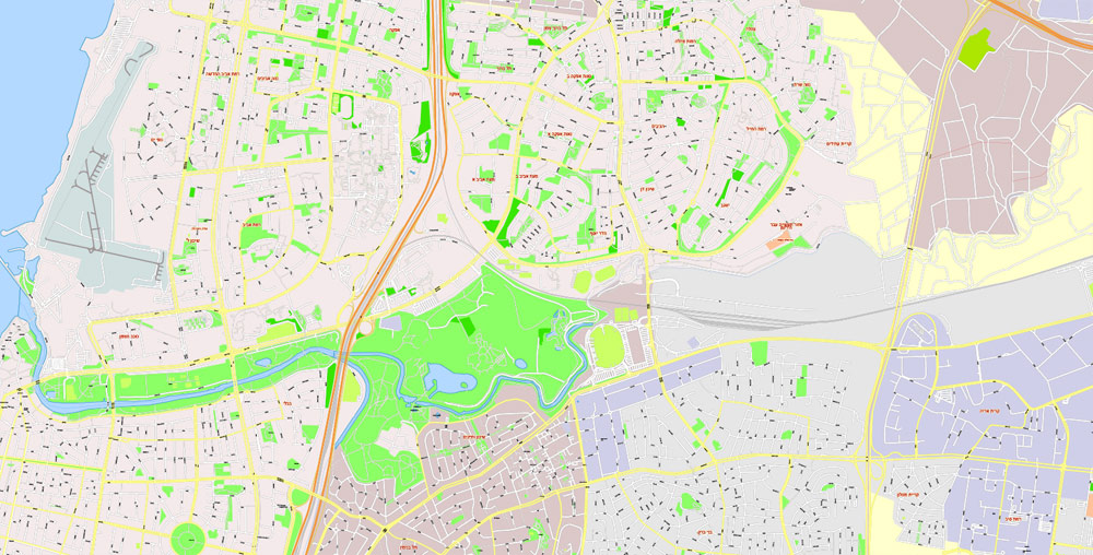
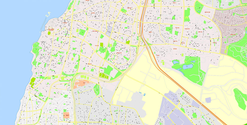
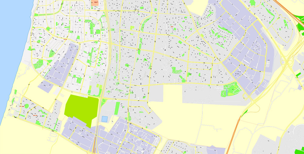
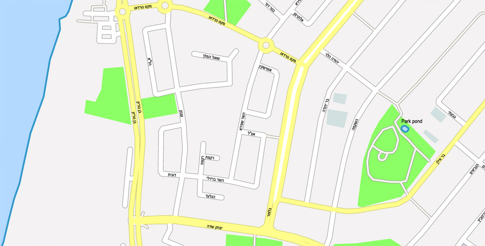
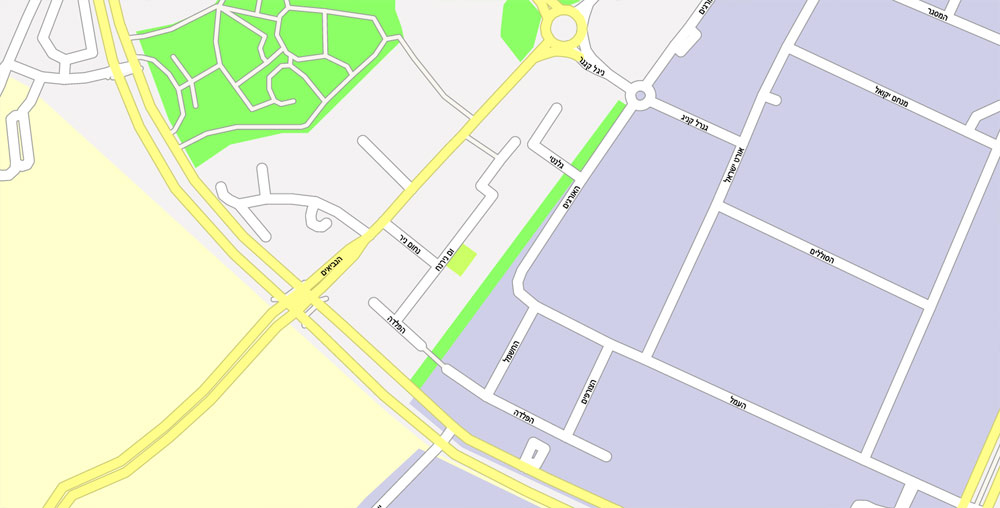
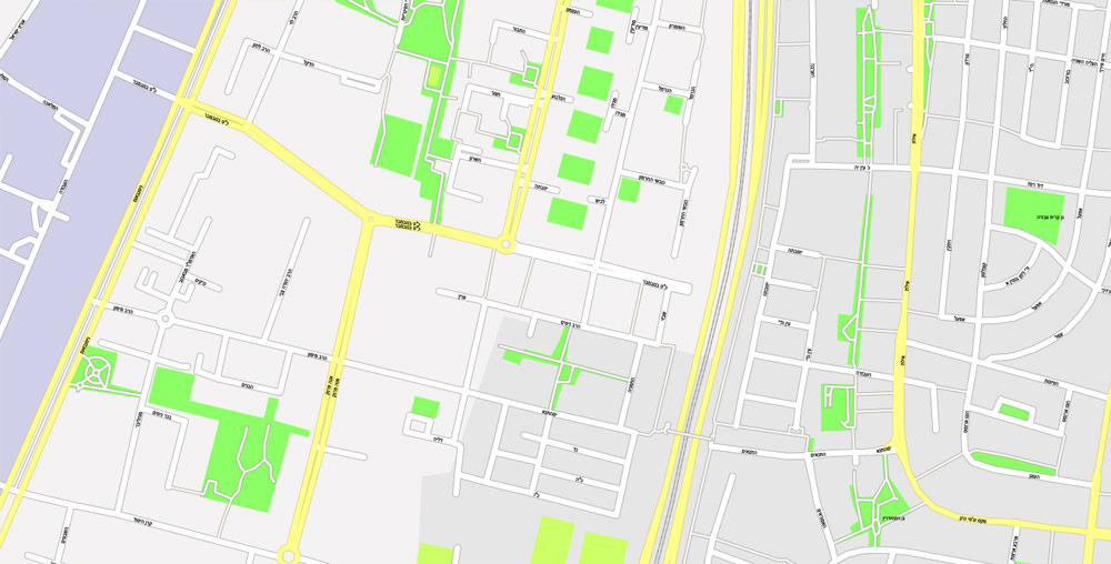
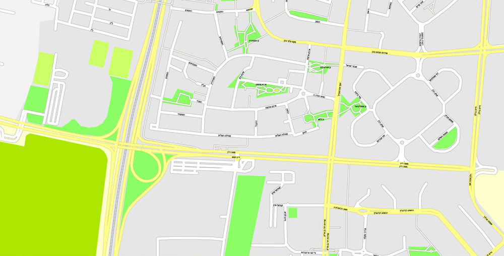
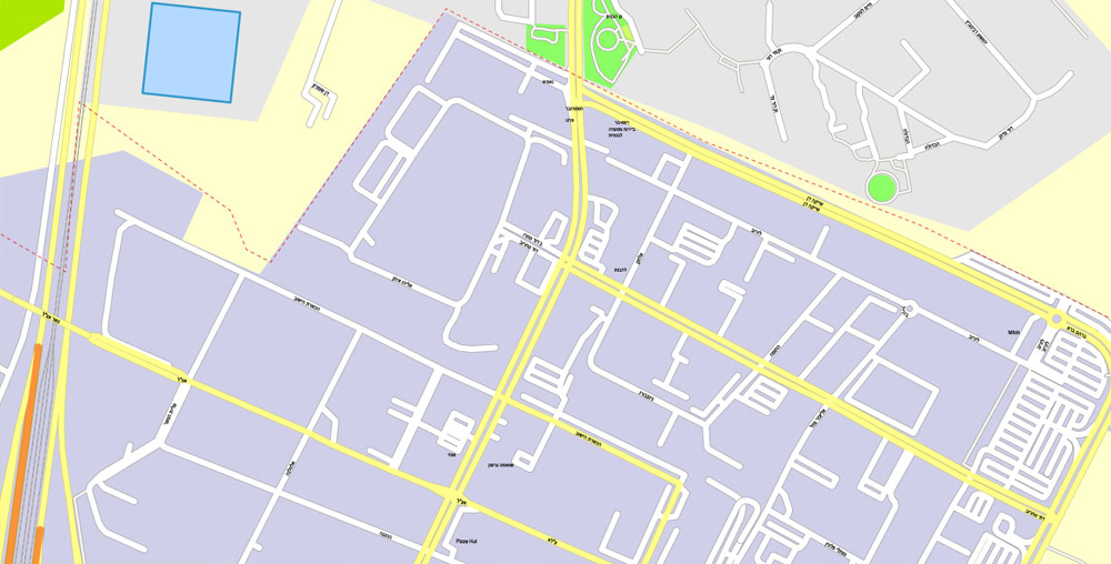
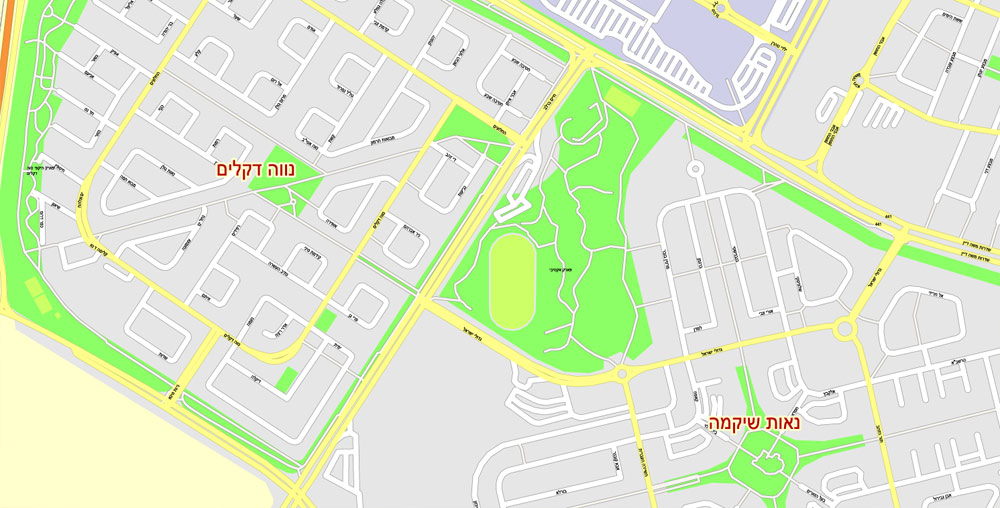
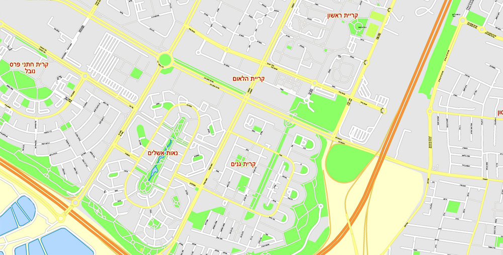
Tel Aviv Yafo, Israel, printable HEBREW vector map Adobe Illustrator editable G-View Level 17 (100 meters scale), full vector, scalable, editable, hebrew curves format street names, 38 mb ZIP
All streets, No buildings. Names – all streets, roads, large objects. Map for publishing, design, printing, arts, projects, presentations, for architects, designers and builders.
Layers: Ground objects (parks, hospital areas, sports), industrial, living areas, names streets, scales. Royalty Free.
CDR, DWG, DXF and other formats – on demand, same price, please, contact.
Tel Aviv, Israel.
This vector map of Tel Aviv is used as a basis for design, editing, and further printing.
This is the most detailed, exact map of Tel Aviv for high-quality printing and polygraphy. You can always clarify the map development date by contacting us.
For your convenience, all objects on Tel Aviv vector map are divided into layers. And the editing is very easy – colors, lines, etc.
You can easily add any objects needed (e.g. shops, salons, sale points, gas station or attraction) on any layer of Tel Aviv vector map.
Tel Aviv is the second most populous city in Israel—after Jerusalem—and the most populous city in the conurbation of Gush Dan, Israel’s largest metropolitan area. Located on the country’s Mediterranean coastline and with a population of 443,939, it is the economic and technological center of the country.
One of the advantages of Tel Aviv vector maps of our production is the relevance of cartographic data, we constantly update all our products.
This vector map of Tel Aviv is used by:
designers, layout designers, printers, advertisers and architects. Our product – vector maps – is designed for further editing and printing in large formats – from @Wall format (a few meters) to A-0 and A-1, A-2, A-3.
Tel Aviv map in vector format is used for design, urban planning, presentations and media visualizations.
Advertising and presentation map of Tel Aviv (usually the final designer marks the routes, and puts the client’s objects (shops, saloons, gas stations etc.)
The undoubted advantage is that people will NEVER throw out this advertising product – the map. In fact, as an advertising medium, a map is the most “long-playing” of the well-known polygraphic advertising media, with the longest lifespan, and the maximum number of interactions with the customer.
For travelers, maps are sold at the airports and gas stations around the world. Often the source is our vector maps.
Take a look, who purchases our vector maps of Tel Aviv in “Our Clients and Friends” page – these are large and small companies, from super-brands like Volvo and Starbucks, to small design studios and printing houses.
It’s very easy to work with vector maps of Tel Aviv, even for a not very experienced designer who can turn on and off the map layers, add new objects, change the colors of fill and lines according to customer requirements.
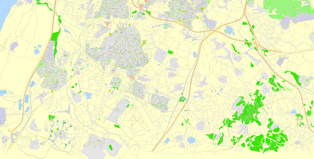
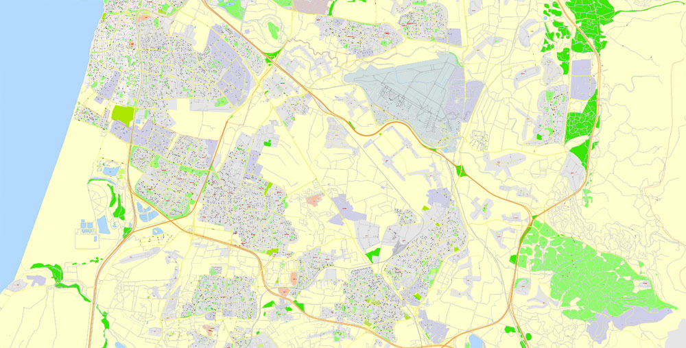
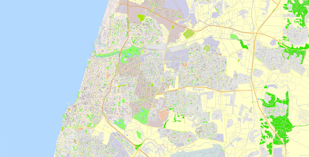
The undoubted advantage of Tel Aviv vector maps in printing is an excellent and detailed visualization, when customer can expand a large paper map and instantly define his location, find a landmark, an object or address on map, unlike using the popular electronic formats of Google and Yandex maps for example.
Printable vector maps of Tel Aviv are much more convenient and efficient than any electronic maps on your smartphone, because ALL DETAILS are displayed in the entire space of Tel Aviv map.
Useful tips on working with vector maps of cities and countries in Adobe Illustrator.
«V» – launches the Selection tool (cursor, black arrow), which makes active any vector line.
«А» – launches the Direct Selection tool (white cursor), allows you to select curve elements and drag them to the desired place.
«R» – activates the Rotate tool, which helps you rotating selected objects around the center point by 360 degrees.
«E» – gives you the opportunity to use the Eraser tool and erase unnecessary parts.
«X» – switches between Fill and Stroke in the Tools section. Try to get used to this hot key and
you will quickly understand that you can’t live and work without it.
Guides are not limited to vertical and horizontal in Adobe Illustrator. You can also create a diagonal guide for example. Moreover, you can turn any contours into guides. Select the outline and go to View > Guides > Make Guides (Create Guides), or simply press Cmd/Ctrl + 5. You can also turn the guides back into an editable object. Go to menu, View > Guides > Unlock Guides (Release Guides), select the guide you want to edit and select View > Guides > Release Guides (Reset Guides), or just press Cmd/Ctrl + Option / Alt + 5).
You will probably want to change the color scheme used on our Tel Aviv vector map.
To quickly and effectively play with colors.
Of course, you can do it manually, all objects in our Tel Aviv vector map are divided according to types and layers, and you can easily change the color gamma of vector objects in groups and layers.
But there is more effective way of working with the whole VECTOR MAP of Tel Aviv and all layers:
The overview dialog «Edit colors»/«Repaint Graphic Object» (this dialog box name can change depending on the context):
If you have selected a part or a layer of Tel Aviv vector map and open the dialog box by clicking the icon in the Control panel, on the Samples palette or the Color Catalog, or if you choose Edit > Edit Colors> Repaint Graphic Object, then the «Repaint Graphic Object» dialog box appears, and you get access to «Assign» and «Edit» tabs.
If a picture or a map fragment is not selected, and you open the dialog box by clicking the icon in the Control panel, on the Samples palette or in the Color Catalog, the «Edit Colors» dialog box appears and you can only access the «Edit» tab.
Regardless of the name at the top of the dialog box, the right-hand side always displays the color group of the current document, as well as two default color groups: Print Color and Grayscale. These color groups can be selected and used any time.
Create and edit color groups of Tel Aviv vector map, and also assign colors using the «Edit Colors»/ а «Repaint Graphic Object» dialog box.
A. Creating and editing of a color group on the «Edit» tab
B. Assigning colors on the «Assign» tab
C. Select a group of colors from the «Color groups» list
The option «Repaint a graphic object» in the lower part of the dialog box allows you to preview the colors on a selected layer of Vector map, or a group of elements, and specify whether its colors will be redefined when the dialog box is closed.
The main areas of the dialog box are:
«Edit»
The «Edit» tab is designed to create a new or edit the existing color groups.
The harmony rules Menu and the Color Wheel are used to conduct experiments with color harmonies. The color wheel shows how colors are related in color harmony, and the color bars allow you to view and manipulate an individual color values. In addition, you can adjust the brightness, add and remove colors, save color groups and view colors on the selected Vector Map of Tel Aviv or a separated layers.
«Assign»
The «Assign» tab is used to view and control on how the original colors are replaced with colors from the color group like your corporate colors in the Vector Map of Tel Aviv.
The assign color ability is provided only if the entire map, layer or fragment is selected in the document. You can specify which of new colors replace the current colors, whether the spot colors should be preserved and how colors are replaced (for example, you can replace colors completely or changing the color tone while maintaining the brightness). The «Assign» tab allows you to redefine colors in the Vector Map of Tel Aviv, or in separate layers and fragments using the current color group or reducing the number of colors in the current Vector Map.
Color groups
Is a list of all saved color groups for current document (the same groups appear in the «Samples» palette). You can edit and delete the existing color groups, as well as creating a new ones using the list of “Color Groups” in the dialog box. All changes appear in the «Samples» palette.
The highlighted color group shows, which color group is currently edited.
Any color group can be selected and edited, or used to redefine the colors in the selected vector map of Tel Aviv , its fragments or elements.
Saving a color group adds this group to the specified list.
Opening the «Edit Colors»/«Repaint Graphic Object» dialog box.
Open the «Edit Colors»/«Repaint Graphic Object» dialog box using one of the following methods:
«Edit»> «Edit Colors»> «Repaint Graphic object» or «Repaint With Style».
Use these commands if you need to edit the colors in the selected vector map of Tel Aviv city.
«Repaint Graphic object» button on the «Control» panel.
Use this button if you need to adjust colors of Tel Aviv vector map using the а «Repaint graphic object» dialog box.
The specified button is available if the selected vector map or its fragment contains two or more colors.
Note. This color editing method is convenient for global color adjustment in a vector map, if global colors were not used when creating a Map of Tel Aviv.
The «Edit colors» button or «Edit or apply colors» on the «Color Catalog» palette
Click this button if you need to edit colors on the «Color Catalog» palette or edit and then apply them to the selected Vector Map of Tel Aviv or its fragment.
The «Edit color group» button or «Edit or apply color group» on the «Samples» palette.
Click this button if you need to edit the colors in the specific color group or edit and apply them to the selected Vector Map of Tel Aviv or a group of its elements, for example, the whole layer “Streets and lines”. You can also double-click the color group in the Samples panel to open the dialog box.
If the map file is too large and your computer freezes or even can’t open it quickly:
1. Try to reduce the color resolution of the video card (display) to 256 colors while working with a large map.
2. Using Windows Task Manager, select all the application you don’t need, while working with map, just turn them off.
3. Launch Adobe Illustrator. (DO NOT OPEN the vector map file)
4. Start the Windows Task Manager using administrator rights > Find the “Illustrator” process > set the «real time» priority,
5. Open the file. When you see the LEGACY FONT popup window – click “OK” (do not update). You can restore the TEXT later.
6. Can also be useful: When file is opened – Edit > Settings > Basic Settings > disable smoothing. /// It looks scary, but works quickly)))
We recommend saving the file in Adobe Illustrator 10 version. It’s much more stable when working with VERY BIG size files.
Tel Aviv is governed by the Tel Aviv-Yafo Municipality, headed by Mayor Ron Huldai, and is home to many foreign embassies. It is a global city and is ranked 25th in the Global Financial Centres Index. Tel Aviv has the third- or fourth-largest economy and the largest economy per capita in the Middle East. The city has the 31st highest cost of living in the world. Tel Aviv receives over 2.5 million international visitors annually. A “party capital” in the Middle East, it has a lively nightlife and 24-hour culture. Tel Aviv is home to Tel Aviv University, the largest university in the country with more than 30,000 students.
The city was founded in 1909 by the Yishuv (Jewish residents) as a modern housing estate on the outskirts of the ancient port city of Jaffa (Hebrew: יָפוֹ Yafo), then part of the Jerusalem province of Ottoman Syria. It was at first called ‘Ahuzat Bayit’ (lit. “building houses”, the name of the association which established the neighbourhood), a name changed the following year to ‘Tel Aviv’. Its name means “Ancient Hill of Spring”. Other Jewish suburbs of Jaffa established outside Jaffa’s Old City even before Tel Aviv, eventually became part of Tel Aviv, the oldest among them being Neve Tzedek (est. 1886).
Immigration by mostly Jewish refugees meant that the growth of Tel Aviv soon outpaced that of Jaffa, which had a majority Arab population at the time. Tel Aviv and Jaffa were later merged into a single municipality in 1950, two years after the Israeli Declaration of Independence, which was proclaimed in the city. Tel Aviv’s White City, designated a UNESCO World Heritage Site in 2003, comprises the world’s largest concentration of International Style buildings, including Bauhaus and other related modernist architectural styles.
Geography
Tel Aviv is located around 32°5′N 34°48′E on the Israeli Mediterranean coastline, in central Israel, the historic land bridge between Europe, Asia and Africa. Immediately north of the ancient port of Jaffa, Tel Aviv lies on land that used to be sand dunes and as such has relatively poor soil fertility. The land has been flattened and has no important gradients; its most notable geographical features are bluffs above the Mediterranean coastline and the Yarkon River mouth. Because of the expansion of Tel Aviv and the Gush Dan region, absolute borders between Tel Aviv and Jaffa and between the city’s neighborhoods do not exist.

The city is located 60 kilometers (37 mi) northwest of Jerusalem and 90 kilometers (56 mi) south of the city of Haifa. Neighboring cities and towns include Herzliya to the north, Ramat HaSharon to the northeast, Petah Tikva, Bnei Brak, Ramat Gan and Giv’atayim to the east, Holon to the southeast, and Bat Yam to the south. The city is economically stratified between the north and south. Southern Tel Aviv is considered less affluent than northern Tel Aviv with the exception of Neve Tzedek and northern and north-western Jaffa. Central Tel Aviv is home to Azrieli Center and the important financial and commerce district along Ayalon Highway. The northern side of Tel Aviv is home to Tel Aviv University, Hayarkon Park, and upscale residential neighborhoods such as Ramat Aviv and Afeka.

Small guide: How to work with the vector map?
You can: Mass select objects by type and color – for example, the objects type “building” (they are usually dark gray) – and remove them from the map, if you do not need them in your print or design project. You can also easily change the thickness of lines (streets), just bulk selection the road by the line color.
The streets are separated by type, for example, type “residential road” are usually white with a gray stroke. Highway usually orange with a brown or dark gray stroke.
All objects are divided by types: different types of roads and streets, polygons of buildings, landfills, urban areas, parks and more other.
It is easy to change the font of inscriptions, all or each individually. Also, just can be make and any other manipulation of objects on the vector map in Adobe illustrator format.
Important: All the proportions on the map are true, that is, the relative sizes of the objects are true, because Map is based on an accurate GPS projection, and It transated into the (usual for all) the Mercator projection.
You can easily change the color, stroke and fill of any object on the map, zoom without loss of quality Image Verification.
Select object

Bulk selection the same objects on the vector map

See the bulk selected objects on the vector map

Bulk delete buildungs from the vector map

Select residencial road (small street) on the vector map

Bulk selection the same lines (streets, roads) on the full map

Create fat lines of the streets on the vector maps (bulk action) 1

Create fat lines of the streets on the vector maps (bulk action) 2

Create fat lines of the streets on the vector maps (bulk action) 3

You can easily change the color, stroke and fill of any object on the map, zoom without loss of quality Image Verification.
See also other vector maps of cities in Israel. For example:
Haifa vector map in Adobe PDF, Israel
Jerusalem editable vector map, Israel in hebrew for Adobe-Illustrator
 vector map Adobe Illustrator editable G-View Level 17 (100 meters scale), full vector")

 Author: Kirill Shrayber, Ph.D. FRGS
")

 vector map Adobe Illustrator editable G-View Level 12 (5 km scale), full vector")