Israel Cities and Country Vector Maps in Adobe Illustrator, PDF and other vector formats
For publishing, design, printing, media, publications, arts, projects, presentations, for architects, designers and builders, business, logistics
Map Data Specification
-
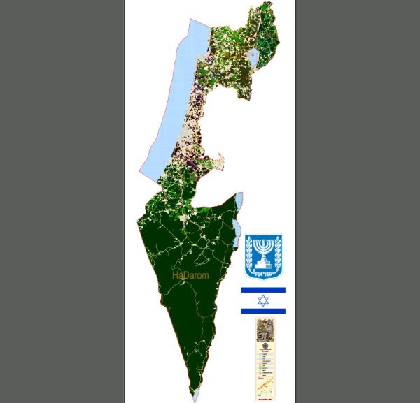
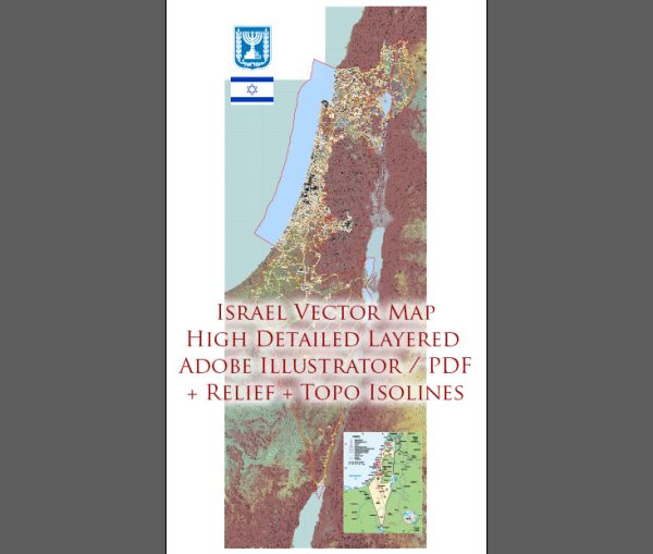
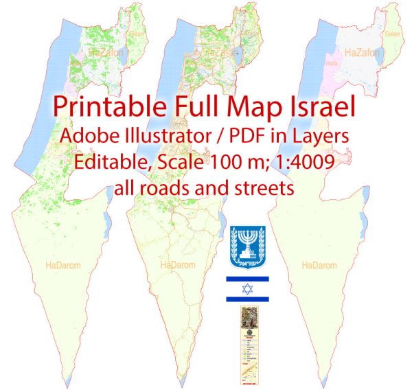
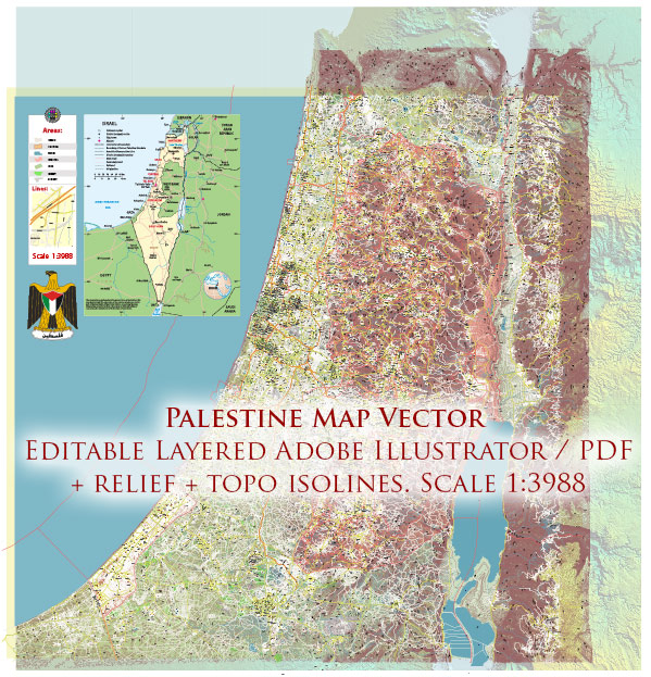
Data type: Vector cartographic dataset
-
Geometry: Polylines and polygons
-
Coordinate system: WGS84 geographic coordinate system
-
Editing compatibility: Adobe Illustrator and vector graphic editors
-
Data structure: Layered map file suitable for design and print workflows

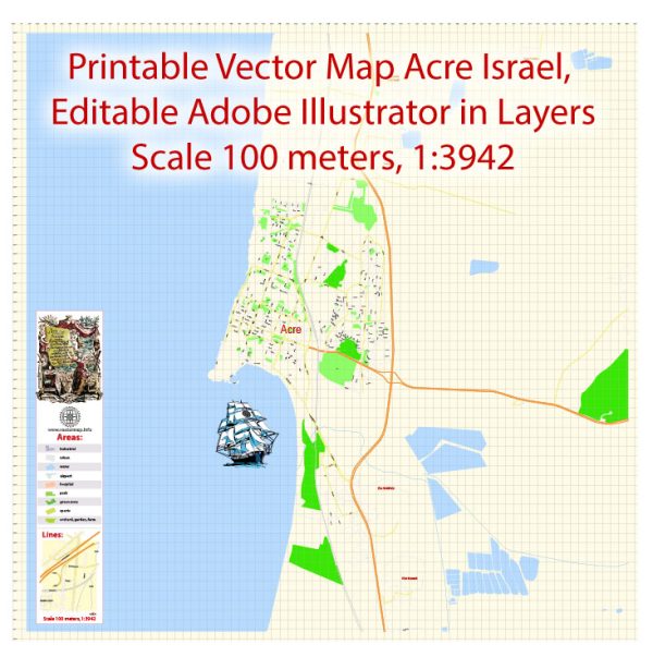
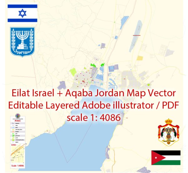
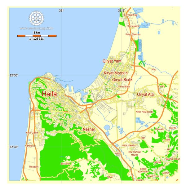
 Author: Kirill Shrayber, Ph.D. FRGS