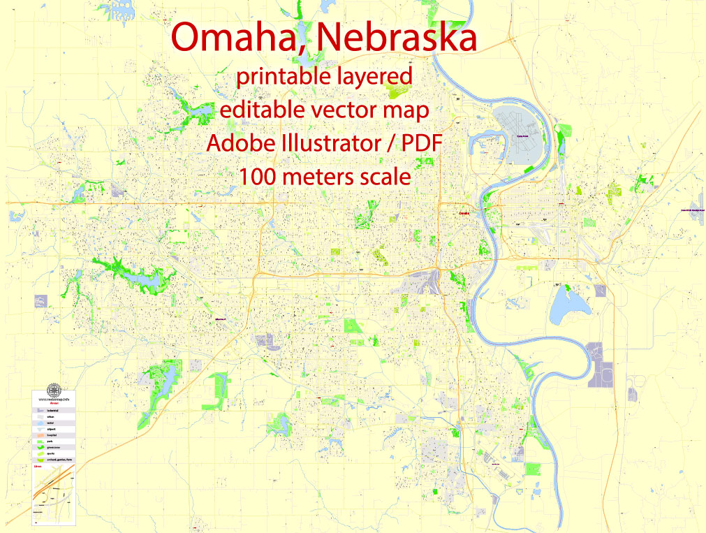
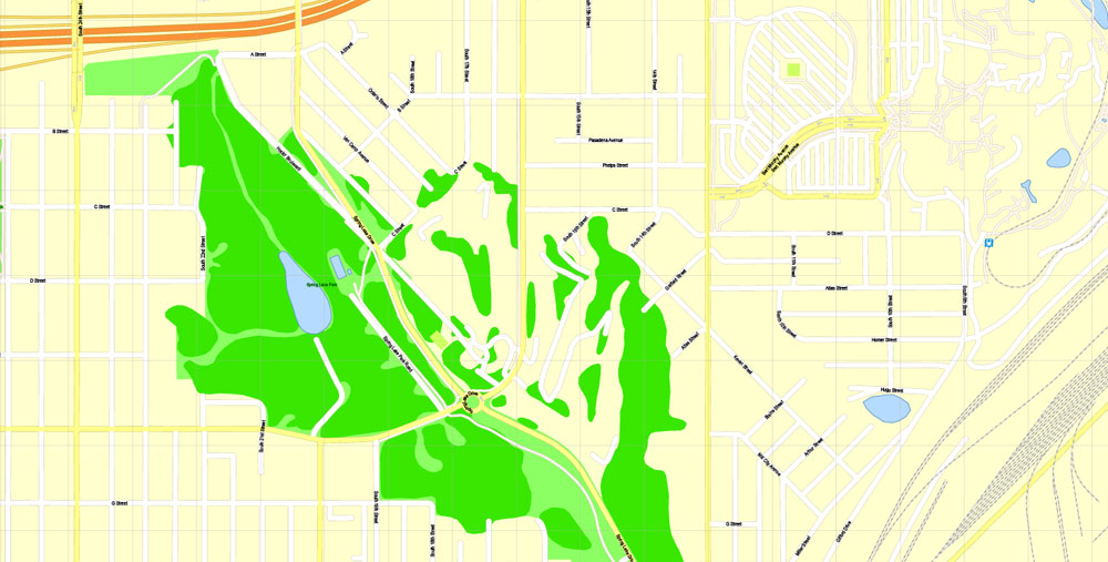
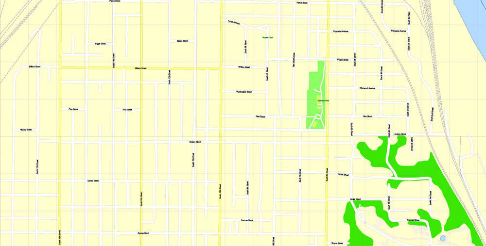
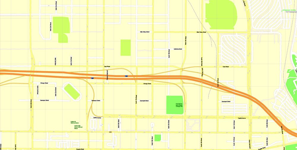
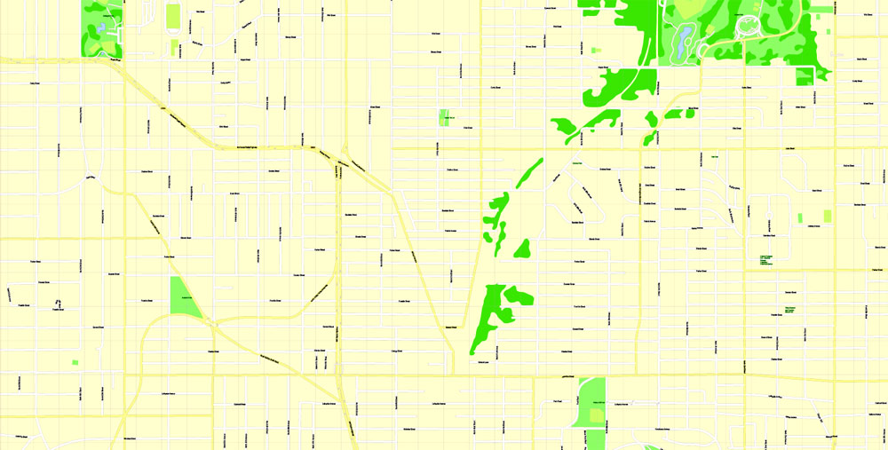
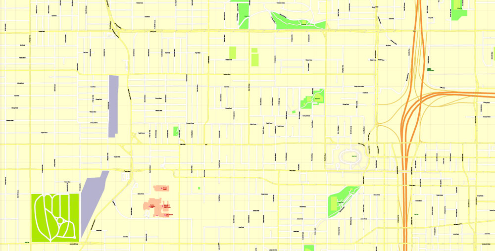
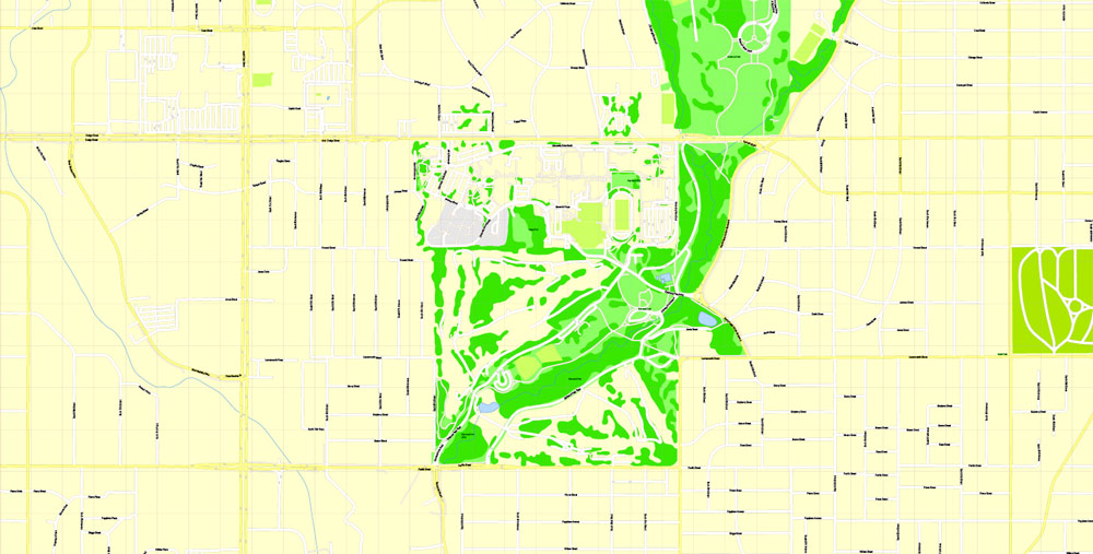
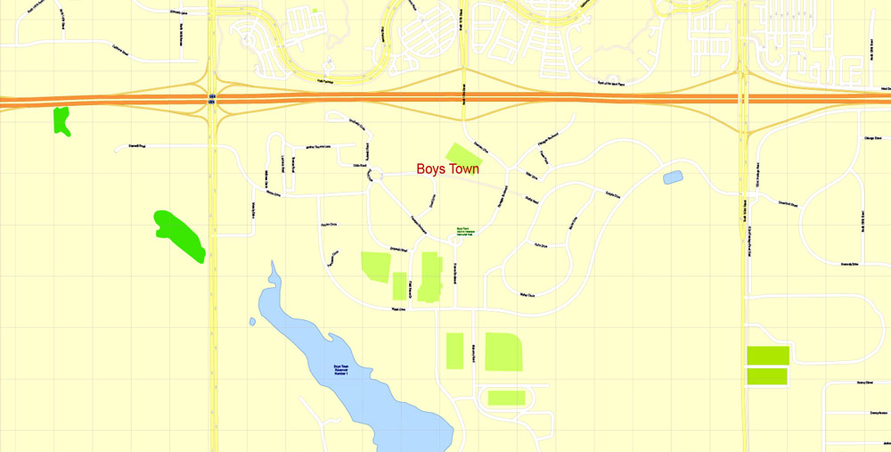
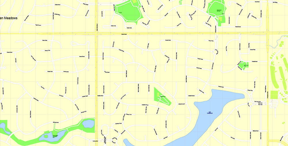
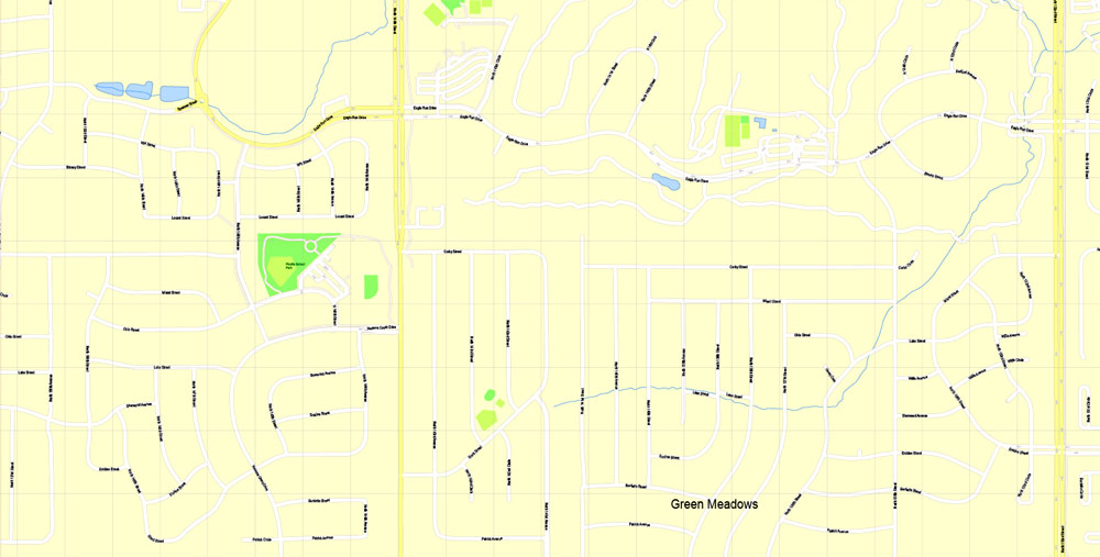
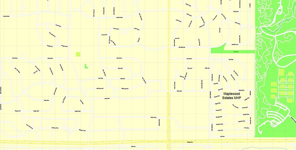
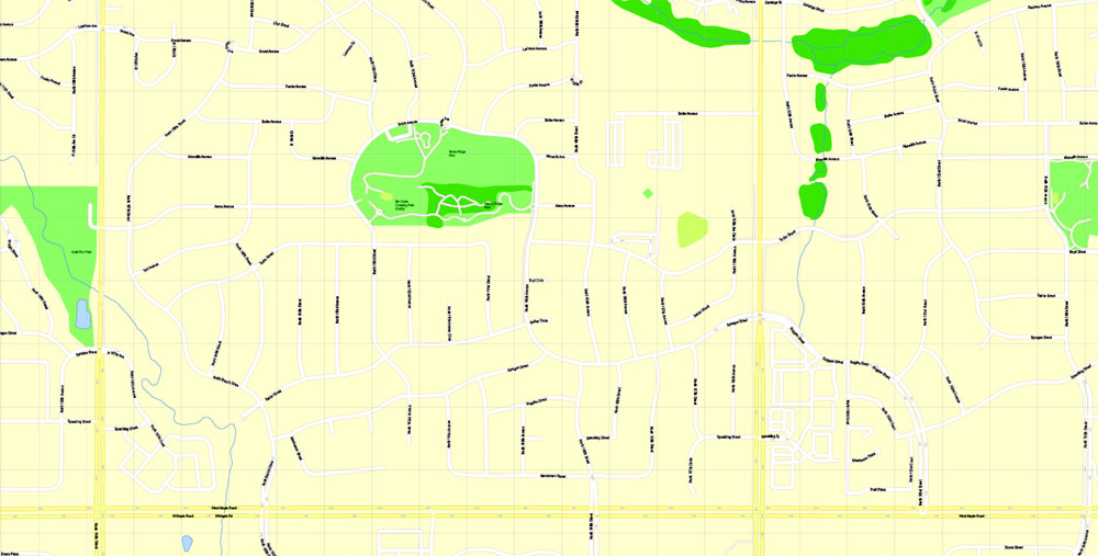
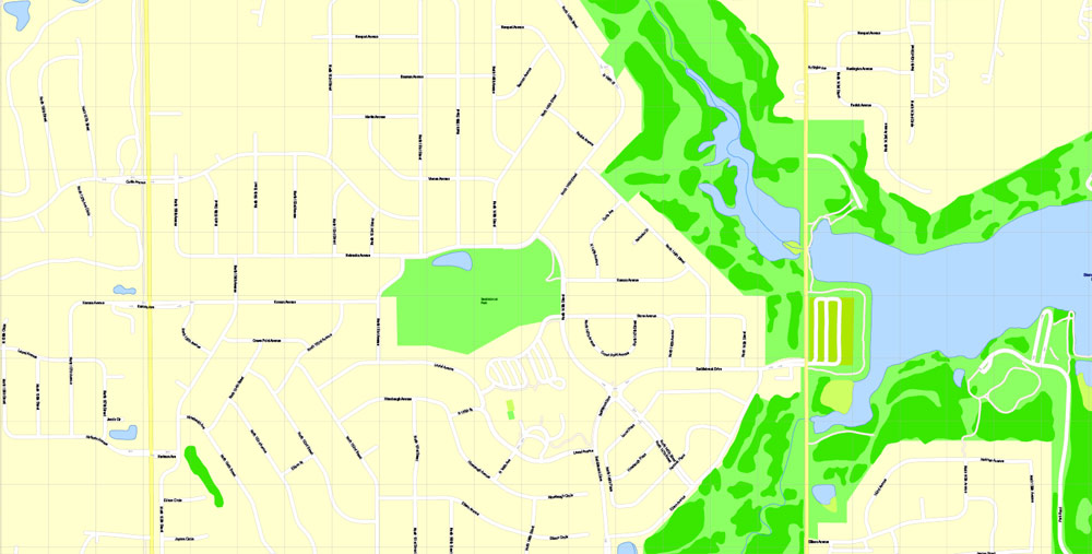
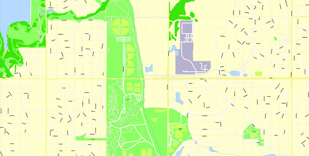
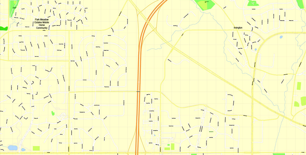
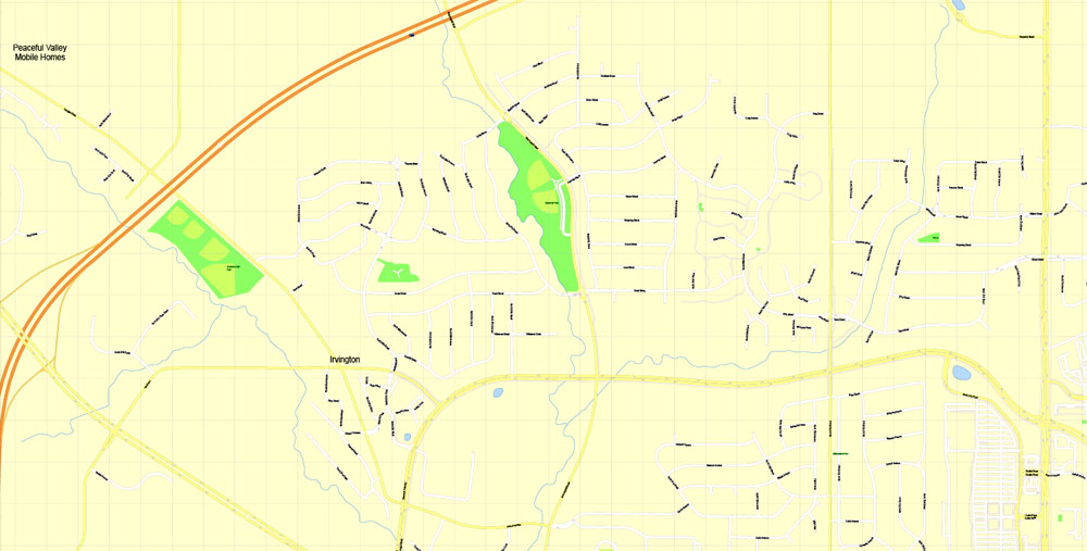
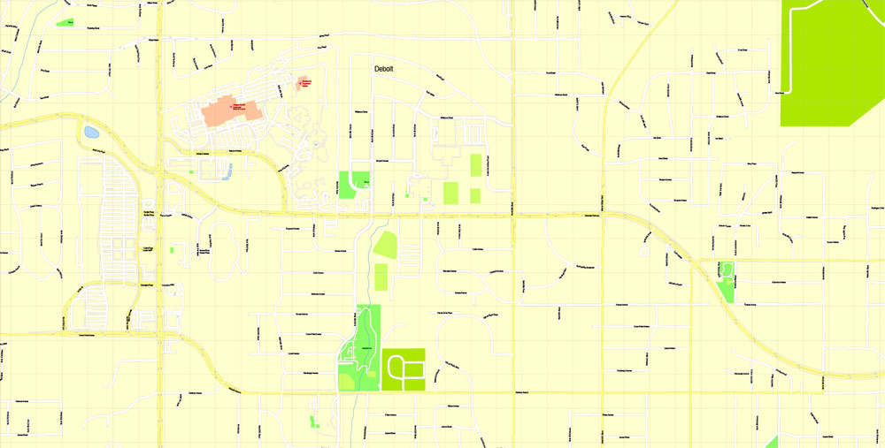
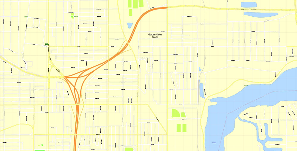
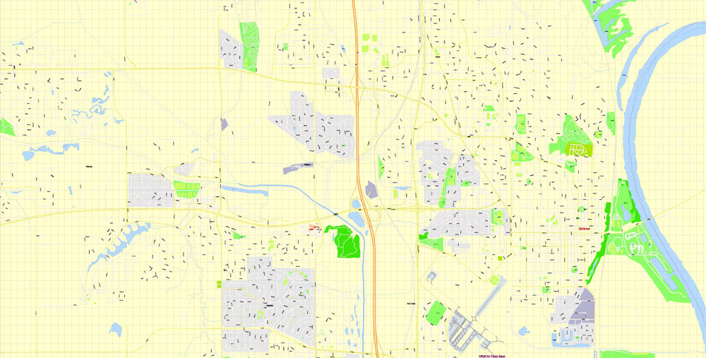
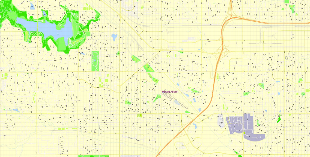
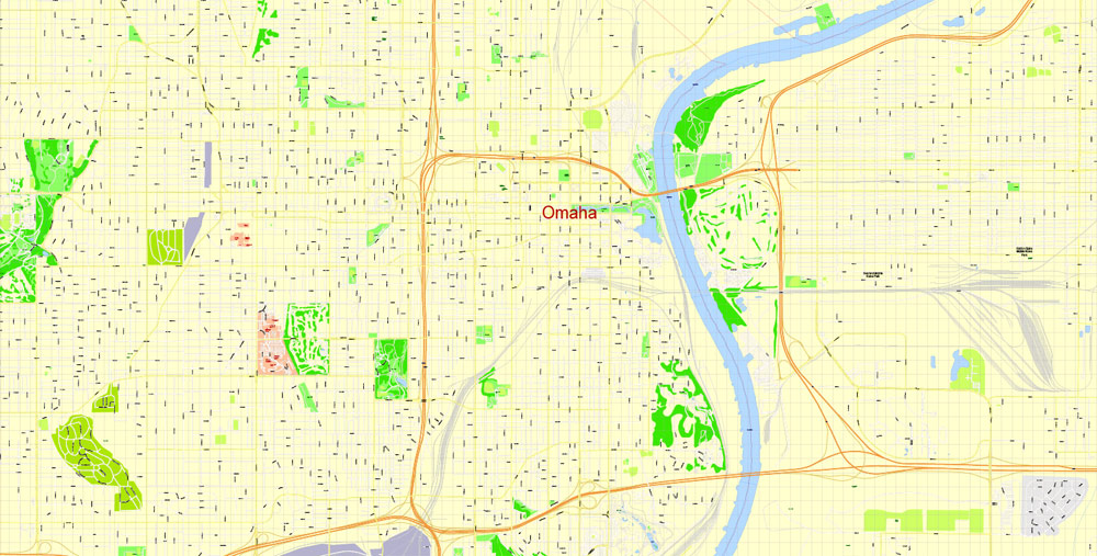
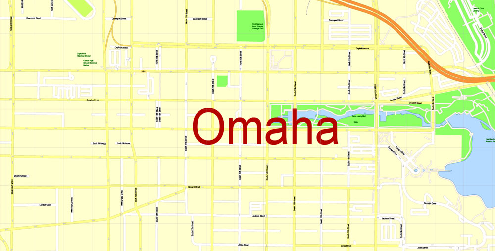
PDF Printable Map Omaha, Nebraska, US, exact vector Map street G-View City Plan Level 17 (100 meters scale) full editable, Adobe PDF, full vector, scalable, editable text format street names, 46 mb ZIP
All streets named, Main Objects, No buildings. Map for design, printing, arts, projects, presentations, for architects, designers and builders, business, logistics.
Layers: color fills, streets_roads, arrows_streets, labels_roads, objects, names objects,
names_streets, names_places, grids, legend.
The most exact and detailed map of the city.
For print LARGE (WALL) format.
You can edit this file by Adobe Illustrator, Adobe Acrobat, Corel Draw.
DWG, DXF, CDR and other formats – on request, same price, please, contact
Omaha, Nebraska, USA.
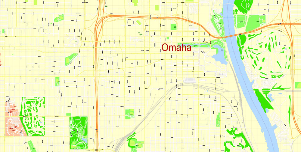
This vector map of Omaha city is used as a basis for design, editing, and further printing.
This is the most detailed, exact map of Omaha city for high-quality printing and polygraphy. You can always clarify the map development date by contacting us.
For your convenience, all objects on Omaha vector city map are divided into layers. And the editing is very easy – colors, lines, etc.
You can easily add any objects needed (e.g. shops, salons, sale points, gas station or attraction) on any layer of Omaha vector map.
Omaha is the largest city in the state of Nebraska and the county seat of Douglas County. Omaha is located in the Midwestern United States on the Missouri River, about 10 miles (15 km) north of the mouth of the Platte River. Omaha is the anchor of the Omaha-Council Bluffs metropolitan area, which includes Council Bluffs, Iowa, across the Missouri River from Omaha. According to the 2010 census, Omaha’s population was 408,958, having increased to 466,893 as of the 2017 estimate. This makes Omaha the nation’s 40th-largest city. Including its suburbs, Omaha formed the 60th-largest metropolitan area in the United States in 2013, with an estimated population of 895,151 residing in eight counties. The Omaha-Council Bluffs-Fremont, Nebraska-IA Combined Statistical Area is 931,667, according to the U.S. Census Bureau’s 2013 estimate. Nearly 1.3 million people reside within the Greater Omaha area, comprising a 50 mi (80 km) radius of Downtown Omaha, the city’s center.
One of the advantages of Omaha city vector maps of our production is the relevance of cartographic data, we constantly update all our products.
This vector map of Omaha city is used by:
designers, layout designers, printers, advertisers and architects. Our product – vector maps – is designed for further editing and printing in large formats – from @Wall format (a few meters) to A-0 and A-1, A-2, A-3.
The Omaha city map in vector format is used for design, urban planning, presentations and media visualizations.
The advertising and presentation map of Omaha city (usually the final designer marks the routes, and puts the client’s objects (shops, saloons, gas stations etc.)
The undoubted advantage is that people will NEVER throw out this advertising product – the map. In fact, as an advertising medium, a city map is the most “long-playing” of the well-known polygraphic advertising media, with the longest lifespan, and the maximum number of interactions with the customer.
For travelers, maps are sold at the airports and gas stations around the world. Often the source is our vector maps.
Omaha’s pioneer period began in 1854, when the city was founded by speculators from neighboring Council Bluffs, Iowa. The city was founded along the Missouri River, and a crossing called Lone Tree Ferry earned the city its nickname, the “Gateway to the West”. Omaha introduced this new West to the world in 1898, when it played host to the World’s Fair, dubbed the Trans-Mississippi Exposition. During the 19th century, Omaha’s central location in the United States spurred the city to become an important national transportation hub. Throughout the rest of the 19th century, the transportation and jobbing sectors were important in the city, along with its railroads and breweries. In the 20th century, the Omaha Stockyards, once the world’s largest, and its meatpacking plants gained international prominence.
Take a look, who purchases our vector maps of Omaha city in “Our Clients and Friends” page – these are large and small companies, from super-brands like Volvo and Starbucks, to small design studios and printing houses.
It’s very easy to work with vector maps of Omaha city, even for a not very experienced designer who can turn on and off the map layers, add new objects, change the colors of fill and lines according to customer requirements.
The undoubted advantage of Omaha city vector maps in printing is an excellent and detailed visualization, when customer can expand a large paper map and instantly define his location, find a landmark, an object or address on map, unlike using the popular electronic formats of Google and Yandex maps for example.
Printable vector maps of Omaha city are much more convenient and efficient than any electronic maps on your smartphone, because ALL DETAILS are displayed in the entire space of Omaha city map.
Today, Omaha is the home to the headquarters of four Fortune 500 companies: mega-conglomerate Berkshire Hathaway; one of the world’s largest construction companies, Kiewit Corporation; insurance and financial firm Mutual of Omaha; and the United States’ largest railroad operator, Union Pacific Corporation. Berkshire Hathaway is headed by local investor Warren Buffett, one of the richest people in the world, according to a decade’s worth of Forbes Magazine rankings, some of which have ranked him as high as No. 1. Omaha is also the home to five Fortune 1000 headquarters: Green Plains Renewable Energy, TD Ameritrade, Valmont Industries, Werner Enterprises, and West Corporation.
Useful tips on working with vector maps of cities and countries in Adobe Illustrator.
«V» – launches the Selection tool (cursor, black arrow), which makes active any vector line.
«А» – launches the Direct Selection tool (white cursor), allows you to select curve elements and drag them to the desired place.
«R» – activates the Rotate tool, which helps you rotating selected objects around the center point by 360 degrees.
«E» – gives you the opportunity to use the Eraser tool and erase unnecessary parts.
«X» – switches between Fill and Stroke in the Tools section. Try to get used to this hot key and
you will quickly understand that you can’t live and work without it.
Guides are not limited to vertical and horizontal in Adobe Illustrator. You can also create a diagonal guide for example. Moreover, you can turn any contours into guides. Select the outline and go to View > Guides > Make Guides (Create Guides), or simply press Cmd/Ctrl + 5. You can also turn the guides back into an editable object. Go to menu, View > Guides > Unlock Guides (Release Guides), select the guide you want to edit and select View > Guides > Release Guides (Reset Guides), or just press Cmd/Ctrl + Option / Alt + 5).
You will probably want to change the color scheme used on our Omaha vector city map.
To quickly and effectively play with colors.
Of course, you can do it manually, all objects in our Omaha city vector map are divided according to types and layers, and you can easily change the color gamma of vector objects in groups and layers.
But there is more effective way of working with the whole VECTOR MAP of Omaha city and all layers:
The overview dialog «Edit colors»/«Repaint Graphic Object» (this dialog box name can change depending on the context):
If you have selected a part or a layer of Omaha city vector map and open the dialog box by clicking the icon in the Control panel, on the Samples palette or the Color Catalog, or if you choose Edit > Edit Colors> Repaint Graphic Object, then the «Repaint Graphic Object» dialog box appears, and you get access to «Assign» and «Edit» tabs.
If a picture or a map fragment is not selected, and you open the dialog box by clicking the icon in the Control panel, on the Samples palette or in the Color Catalog, the «Edit Colors» dialog box appears and you can only access the «Edit» tab.
Regardless of the name at the top of the dialog box, the right-hand side always displays the color group of the current document, as well as two default color groups: Print Color and Grayscale. These color groups can be selected and used any time.
Create and edit color groups of Omaha city vector map, and also assign colors using the «Edit Colors»/ а «Repaint Graphic Object» dialog box.
A. Creating and editing of a color group on the «Edit» tab
B. Assigning colors on the «Assign» tab
C. Select a group of colors from the «Color groups» list
The option «Repaint a graphic object» in the lower part of the dialog box allows you to preview the colors on a selected layer of Vector map, or a group of elements, and specify whether its colors will be redefined when the dialog box is closed.
The main areas of the dialog box are:
«Edit»
The «Edit» tab is designed to create a new or edit the existing color groups.
The harmony rules Menu and the Color Wheel are used to conduct experiments with color harmonies. The color wheel shows how colors are related in color harmony, and the color bars allow you to view and manipulate an individual color values. In addition, you can adjust the brightness, add and remove colors, save color groups and view colors on the selected Vector Map of Omaha city or a separated layers.
«Assign»
The «Assign» tab is used to view and control on how the original colors are replaced with colors from the color group like your corporate colors in the Vector Map of Omaha city.
Also headquartered in Omaha are First National Bank of Omaha, the largest privately held bank in the United States; three of the nation’s largest 10 architecture/engineering firms: DLR Group, HDR, Inc., and Leo A Daly; the Gallup Organization, of Gallup Poll fame; and its riverfront Gallup University. Enron began in Omaha as Northern Natural Gas in 1930, before taking over a smaller Houston company in 1985 to form InterNorth, which Kenneth Lay moved permanently to Houston, in 1987. First Data, another Fortune 500 company, was founded in Omaha in 1971 and headquartered there until the late ‘90s. ConAgra Brands, yet another Fortune 500 company, was headquartered in Omaha until 2014. Both First Data and ConAgra Brands still have a significant presence in Omaha. MetLife and Pacific Life, two Fortune 500 insurance companies, also domicile in Omaha.
The assign color ability is provided only if the entire map, layer or fragment is selected in the document. You can specify which of new colors replace the current colors, whether the spot colors should be preserved and how colors are replaced (for example, you can replace colors completely or changing the color tone while maintaining the brightness). The «Assign» tab allows you to redefine colors in the Vector Map of Omaha city, or in separate layers and fragments using the current color group or reducing the number of colors in the current Vector Map.
Color groups
Is a list of all saved color groups for current document (the same groups appear in the «Samples» palette). You can edit and delete the existing color groups, as well as creating a new ones using the list of “Color Groups” in the dialog box. All changes appear in the «Samples» palette.
The highlighted color group shows, which color group is currently edited.
Any color group can be selected and edited, or used to redefine the colors in the selected vector map of Omaha city, its fragments or elements.
Saving a color group adds this group to the specified list.
Opening the «Edit Colors»/«Repaint Graphic Object» dialog box.
Open the «Edit Colors»/«Repaint Graphic Object» dialog box using one of the following methods:
«Edit»> «Edit Colors»> «Repaint Graphic object» or «Repaint With Style».
The modern economy of Omaha is diverse and built on skilled knowledge jobs. In 2009, Forbes identified Omaha as the nation’s number one “Best Bang-For-The Buck City” and ranked it number one on “America’s Fastest-Recovering Cities” list. Tourism in Omaha benefits the city’s economy greatly, with the annual College World Series and Triple Crown SlumpBuster providing important revenue and the city’s Henry Doorly Zoo serving as the top attraction in Nebraska as well as being named the best zoo in the world by Trip Advisor in 2014. Omaha hosted the U.S. Olympic swim trials in 2008, 2012, 2016, and will host them again in 2020.
Use these commands if you need to edit the colors in the selected vector map of Omaha city.
«Repaint Graphic object» button on the «Control» panel.
Use this button if you need to adjust colors of Omaha city vector map using the а «Repaint graphic object» dialog box.
The specified button is available if the selected vector map or its fragment contains two or more colors.
Note. This color editing method is convenient for global color adjustment in a vector map, if global colors were not used when creating a City Map of Omaha.
The «Edit colors» button or «Edit or apply colors» on the «Color Catalog» palette
Click this button if you need to edit colors on the «Color Catalog» palette or edit and then apply them to the selected Vector Map of Omaha city or its fragment.
Notable modern Omaha inventions include: the bobby pin and the “pink hair curler”, at Omaha’s Tip Top; Butter Brickle Ice Cream and the Reuben sandwich, conceived by a chef at the then-Blackstone Hotel on 36th and Farnam Streets; cake mix, developed by Duncan Hines, then a division of Omaha’s Nebraska Consolidated Mills, the forerunner to today’s ConAgra Foods; center-pivot irrigation by the Omaha company now known as Valmont Corporation; Raisin Bran, developed by Omaha’s Skinner Macaroni Co.; the ski lift, in 1936, by Omaha’s Union Pacific Corp; the “Top 40” radio format, pioneered by Todd Storz, scion of Omaha’s Storz Brewing Co., and head of Storz Broadcasting, which was the first in the U.S. to use the “Top 40” format at Omaha’s KOWH Radio; and the TV dinner, developed by Omaha’s Carl Swanson Co. Omaha was also the birthplace of Gerald Ford, the 38th President of the United States.
The «Edit color group» button or «Edit or apply color group» on the «Samples» palette.
Click this button if you need to edit the colors in the specific color group or edit and apply them to the selected Vector Map of Omaha city or a group of its elements, for example, the whole layer “Streets and lines”. You can also double-click the color group in the Samples panel to open the dialog box.
If the map file is too large and your computer freezes or even can’t open it quickly:
1. Try to reduce the color resolution of the video card (display) to 256 colors while working with a large map.
2. Using Windows Task Manager, select all the application you don’t need, while working with map, just turn them off.
3. Launch Adobe Illustrator. (DO NOT OPEN the vector map file)
4. Start the Windows Task Manager using administrator rights > Find the “Illustrator” process > set the «real time» priority,
5. Open the file. When you see the LEGACY FONT popup window – click “OK” (do not update). You can restore the TEXT later.
6. Can also be useful: When file is opened – Edit > Settings > Basic Settings > disable smoothing. /// It looks scary, but works quickly)))
We recommend saving the file in Adobe Illustrator 10 version. It’s much more stable when working with VERY BIG size files.
Geography
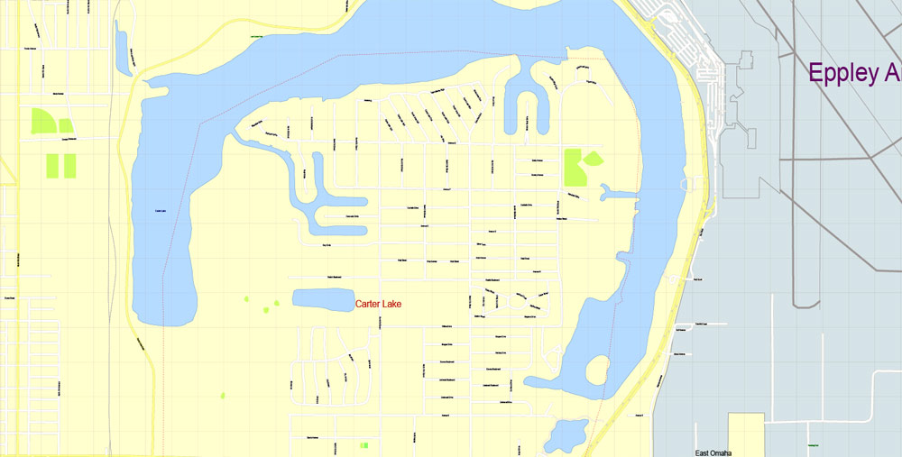
Omaha is located at 41°15′N 96°0′W. According to the United States Census Bureau, the city has a total area of 130.58 square miles (338.20 km2), of which 127.09 square miles (329.16 km2) is land and 3.49 square miles (9.04 km2) is water. Situated in the Midwestern United States on the bank of the Missouri River in eastern Nebraska, much of Omaha is built in the Missouri River Valley. Other significant bodies of water in the Omaha-Council Bluffs metropolitan area include Lake Manawa, Papillion Creek, Carter Lake, Platte River and the Glenn Cunningham Lake. The city’s land has been altered considerably with substantial land grading throughout Downtown Omaha and scattered across the city. East Omaha sits on a flood plain west of the Missouri River. The area is the location of Carter Lake, an oxbow lake. The lake was once the site of East Omaha Island and Florence Lake, which dried up in the 1920s.
The Omaha-Council Bluffs metropolitan area consists of eight counties; five in Nebraska and three in Iowa. The metropolitan area now includes Harrison, Pottawattamie, and Mills Counties in Iowa and Washington, Douglas, Sarpy, Cass, and Saunders Counties in Nebraska. This area was formerly referred to only as the Omaha Metropolitan Statistical Area and consisted of only five counties: Pottawattamie in Iowa, and Washington, Douglas, Cass, and Sarpy in Nebraska. The Omaha-Council Bluffs combined statistical area comprises the Omaha-Council Bluffs metropolitan statistical area and the Fremont Micropolitan statistical area; the CSA has a population of 858,720 (2005 Census Bureau estimate).
Omaha ranks as the 42nd-largest city in the United States, and is the core city of its 60th-largest metropolitan area. There are currently no consolidated city-counties in the area; the City of Omaha studied the possibility extensively through 2003 and concluded, “The City of Omaha and Douglas County should merge into a municipal county, work to commence immediately, and that functional consolidations begin immediately in as many departments as possible, including but not limited to parks, fleet management, facilities management, local planning, purchasing and personnel.”
Geographically, Omaha is considered as being located in the “Heartland” of the United States. Important environmental impacts on the natural habitat in the area include the spread of invasive plant species, restoring prairies and bur oak savanna habitats, and managing the whitetail deer population.
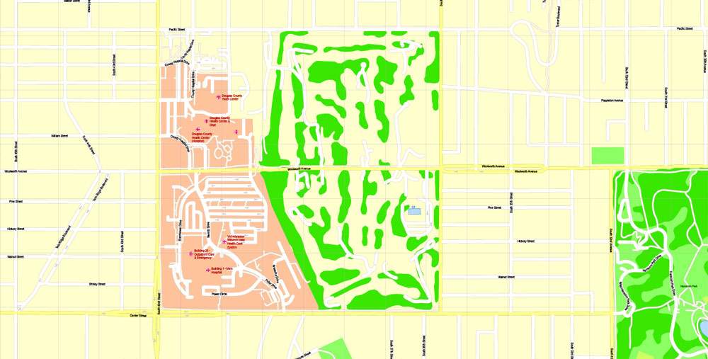
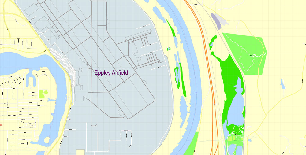
Omaha is home to several hospitals, located mostly along Dodge St (US6). Being the county seat, it is also the location of the county courthouse.
Omaha
City in Nebraska
Omaha is a city in the U.S. state of Nebraska, on the Missouri River close to the Iowa border. A stop on the Lewis & Clark National Historic Trail, it’s known for its pioneer history, museums and cultural centers. The Henry Doorly Zoo and Aquarium spearheads conservation work and features a big cat complex as well as indoor jungle, rainforest and desert habitats.
Area
• City 130.58 sq mi (338.20 km2)
• Land 127.09 sq mi (329.16 km2)
• Water 3.49 sq mi (9.04 km2)
Elevation 1,090 ft (332 m)
Population
• City 408,958
• Estimate 446,599
• Rank US: 43rd
• Density 3,217.9/sq mi (1,242.4/km2)
• Urban 725,008 (US: 58th)
• Metro 915,312 (US: 59th)
• CSA 931,666 (US: 57th)

Free Download Vector Map US County and State Adobe Illustrator
Free_Vector_Map_US_States_County_Map.ai
Free Download Vector Map US County and State Adobe PDF
Free_Vector_Map_US_States_County_Map.pdf

Free Download Vector Map US With States Names, Adobe Illustrator
Free_Map_of_USA_with_state_names_en.ai
Free Download Vector Map US With States Names, Adobe PDF
Free_Map_of_USA_with_state_names_en.pdf
From WIKI
Free vector map World, Adobe Illustrator, download now maps vector clipart
Map for design, projects, presentation free to use as you like.
See also: TERMS & CONDITIONS: SOFTWARE LICENSE AGREEMENT FOR DIGITAL CARTOGRAPHIC DATA.
Need more USA Vector Maps, printable and editable?

 Author: Kirill Shrayber, Ph.D. FRGS


