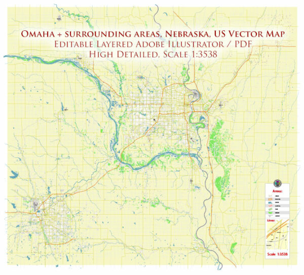
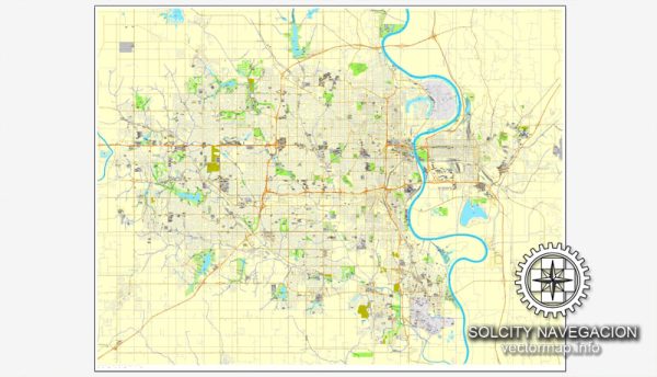
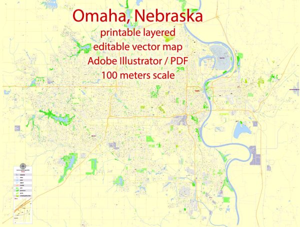
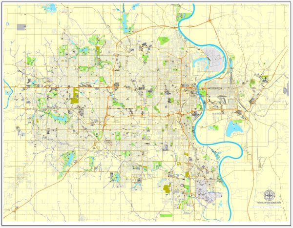
Omaha, Nebraska, is situated along the Missouri River in the Midwestern United States. The city has several notable waterways, bridges, and main streets that contribute to its urban landscape. Vectormap.Net provide you with the most accurate and up-to-date vector maps in Adobe Illustrator, PDF and other formats, designed for editing and printing. Please read the vector map descriptions carefully.
Waterways:
- Missouri River: Omaha’s eastern border is defined by the Missouri River, one of the longest rivers in North America. The river has historically played a crucial role in transportation and trade.
Bridges:
- Bob Kerrey Pedestrian Bridge: This iconic bridge spans the Missouri River, connecting Omaha, Nebraska, with Council Bluffs, Iowa. It’s a popular destination for pedestrians and cyclists, offering scenic views of the river and the city skyline.
- Gerald R. Ford Birthsite and Gardens Bridge (formerly Dodge Street Overpass): Crossing over the Dodge Street area, this bridge is known for its unique design and serves as a gateway to the Midtown Crossing development.
- I-80 Missouri River Bridge: Located to the south of Omaha, this bridge carries Interstate 80 across the Missouri River.
Main Streets:
- Dodge Street (US Route 6): Dodge Street is one of the main east-west thoroughfares in Omaha, running through the heart of the city. It connects the western suburbs to downtown Omaha and continues into Council Bluffs, Iowa.
- Farnam Street: Running parallel to Dodge Street, Farnam Street is another important east-west thoroughfare, particularly in the downtown area. It passes through the historic Old Market district, known for its shops, restaurants, and entertainment.
- 16th Street: Located in downtown Omaha, 16th Street is a significant north-south street that intersects with Farnam Street and connects to the Old Market area.
- 24th Street: This street is another notable north-south artery in Omaha, passing through various neighborhoods and commercial areas.
These descriptions provide a snapshot of some of Omaha’s key waterways, bridges, and main streets. The city’s infrastructure is dynamic, and ongoing developments may bring changes to these features.


 Author: Kirill Shrayber, Ph.D.