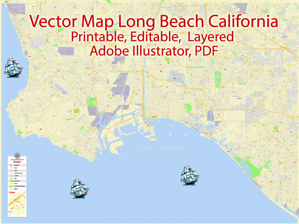
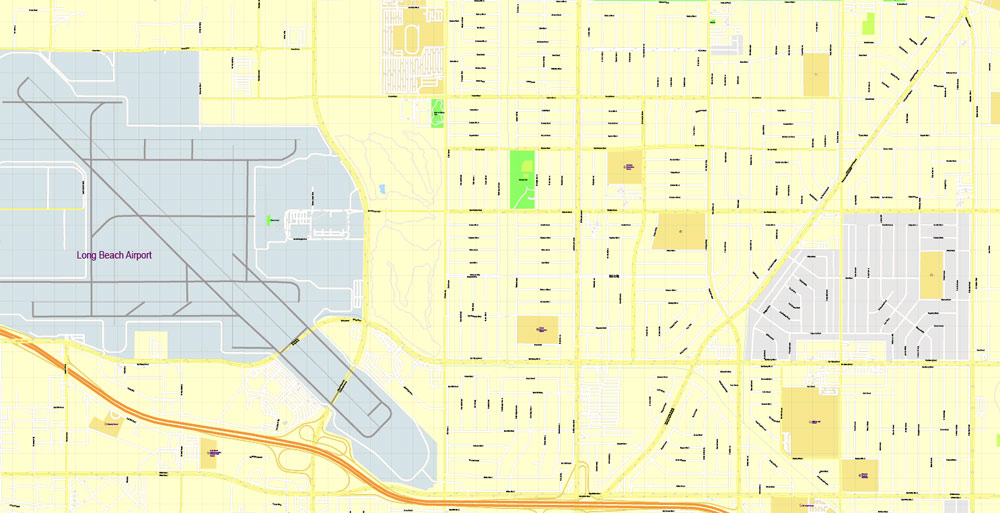
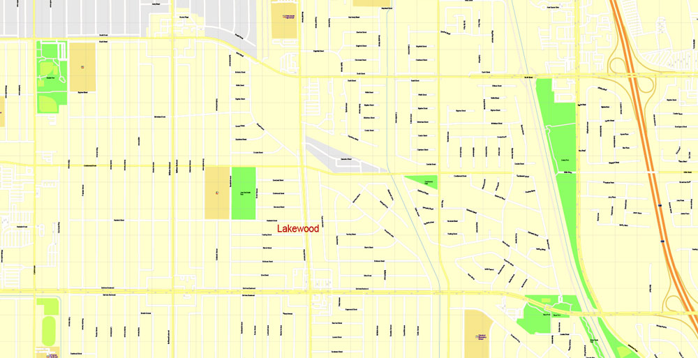
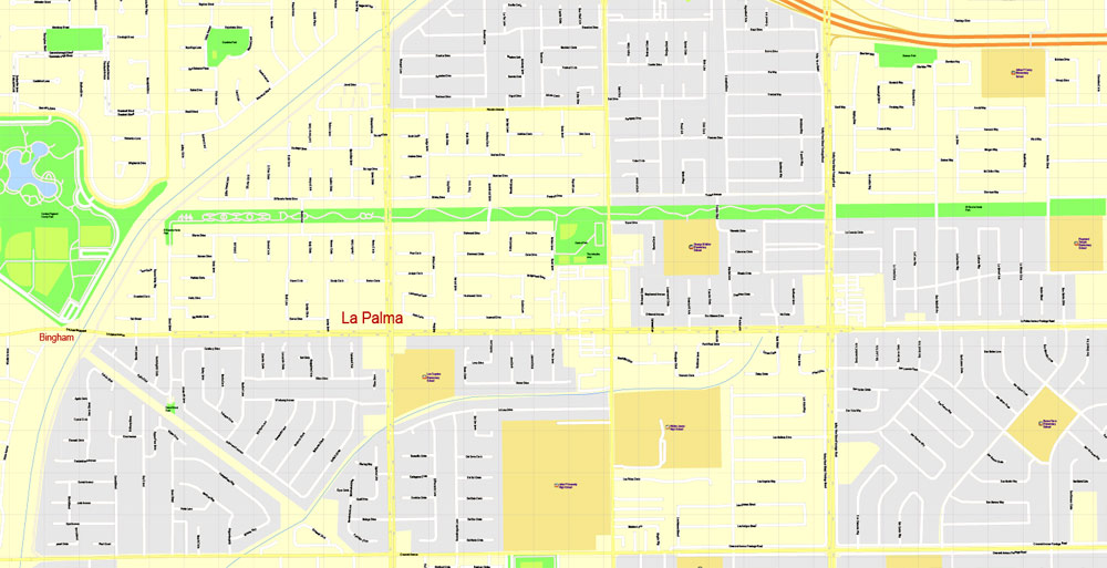
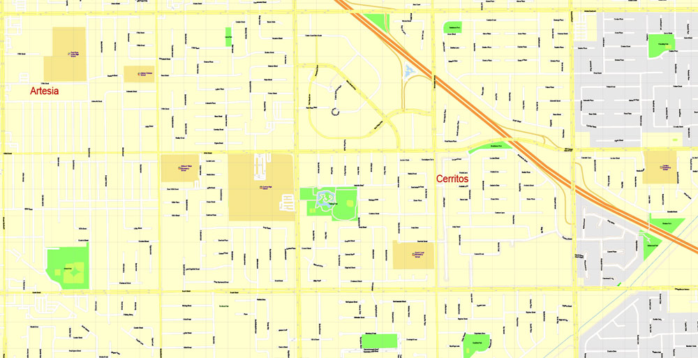
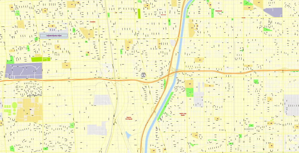
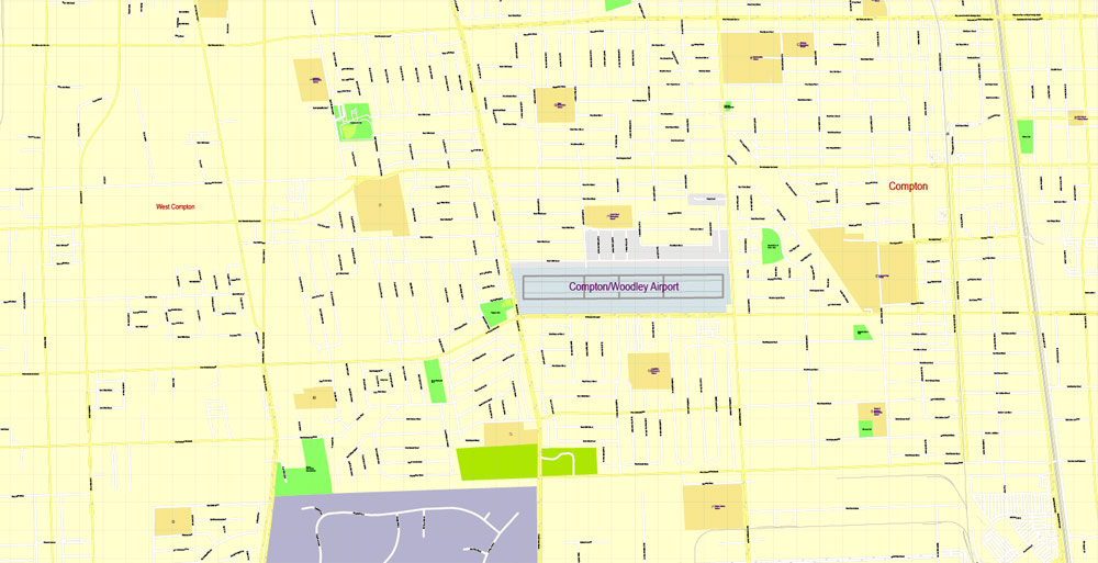
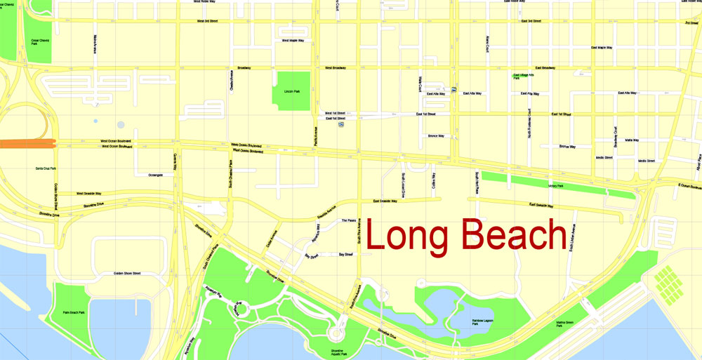
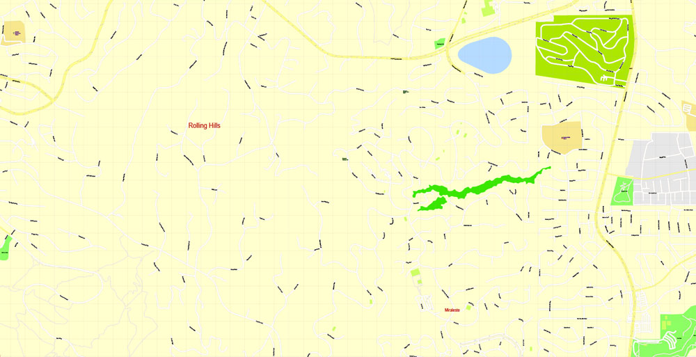
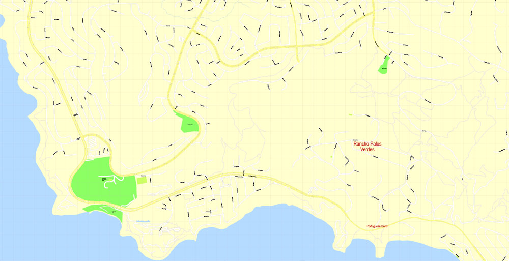
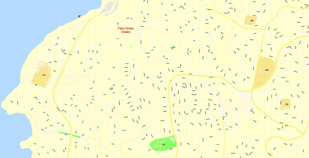
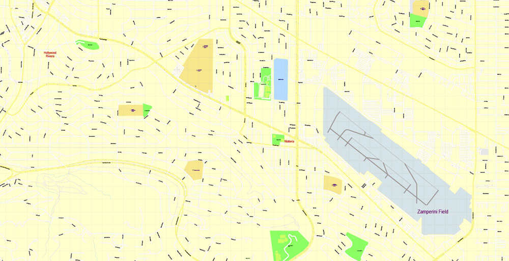
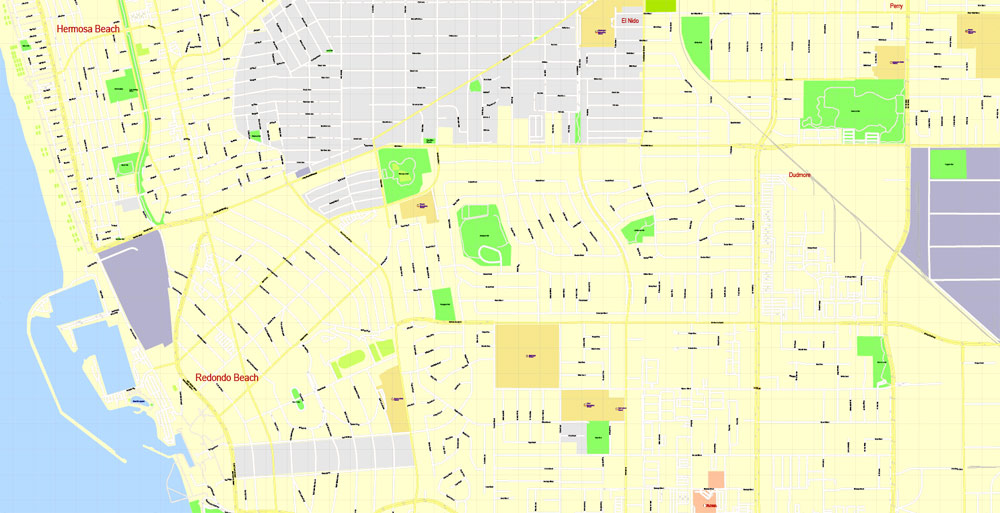
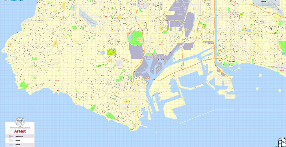
PDF Printable Map Long Beach, California, US, exact vector Map street G-View City Plan Level 17 (100 meters scale) full editable, Adobe PDF, full vector, scalable, editable text format street names, 50 mb ZIP
All streets named, Main Objects, All buildings. Map for design, printing, arts, projects, presentations, for architects, designers and builders, business, logistics.
Layers: color fills, buildings, streets_roads, arrows_streets, labels_roads, objects, names objects, names_streets, names_places, grids, legend.
The most exact and detailed map of the city.
For print LARGE (WALL) format.
You can edit this file by Adobe Illustrator, Adobe Acrobat, Corel Draw.
DWG, DXF, CDR and other formats – on request, same price, please, contact
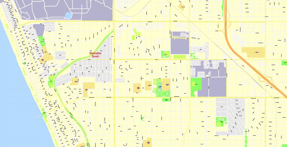
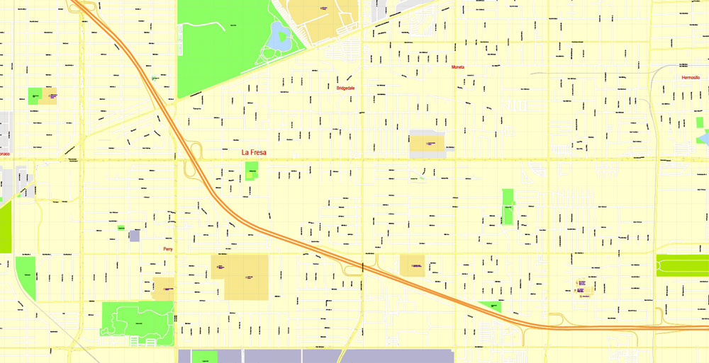
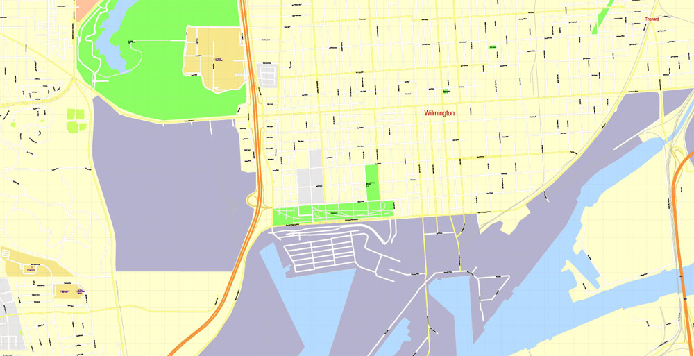
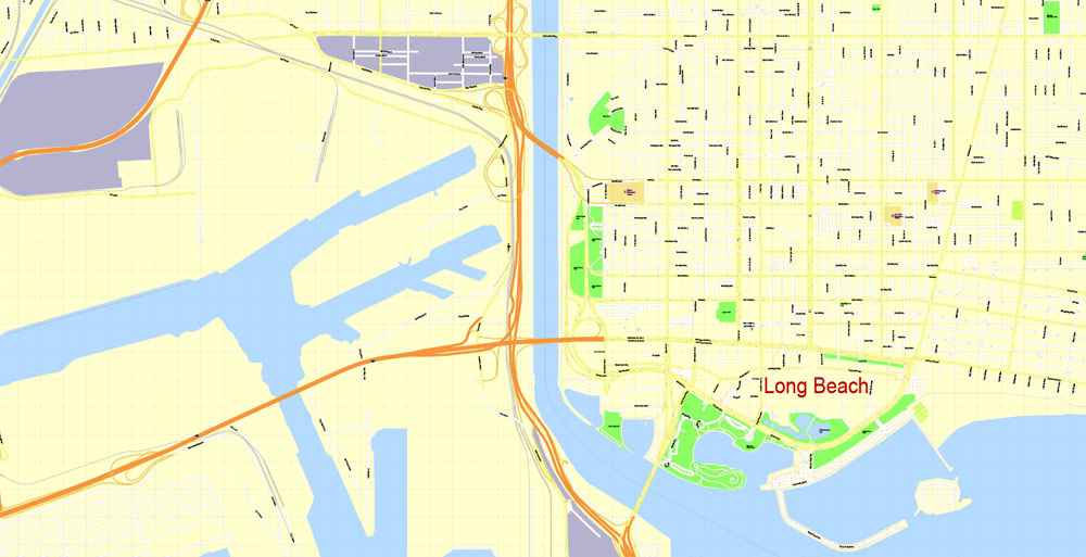
Long Beach, California.
This vector map of Long Beach is used as a basis for design, editing, and further printing.
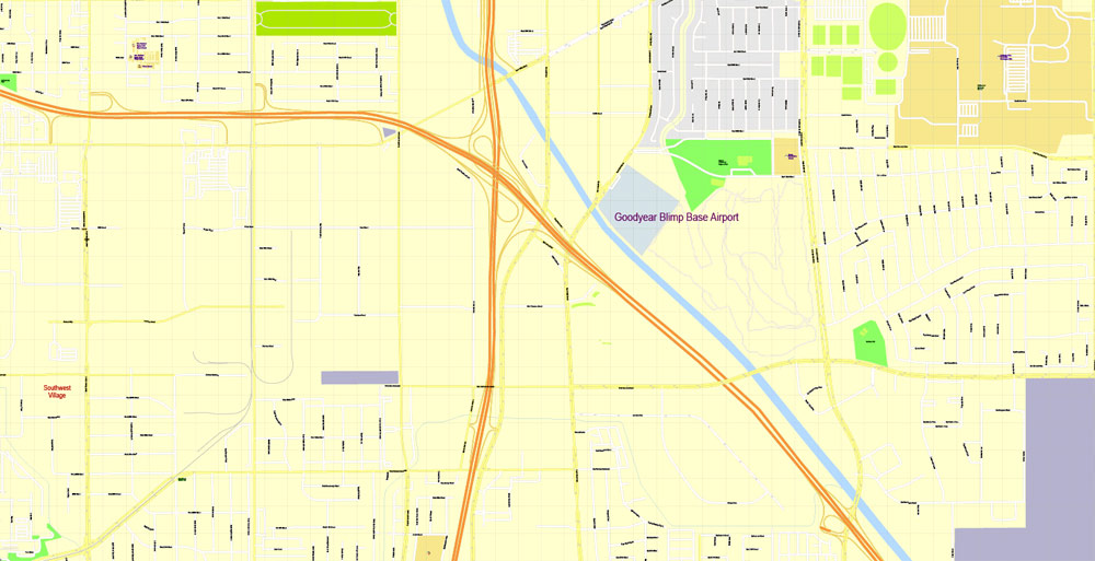
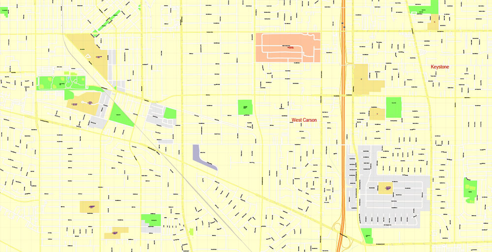
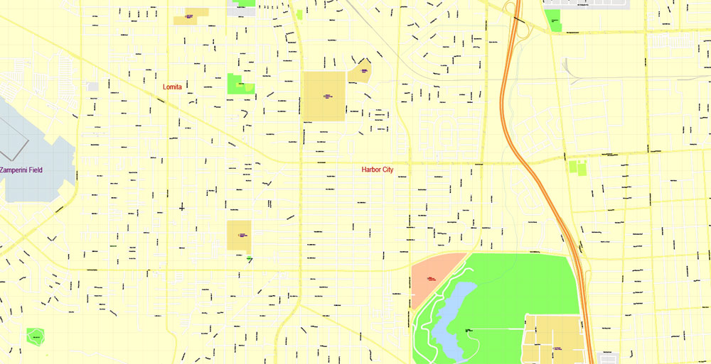
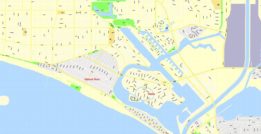
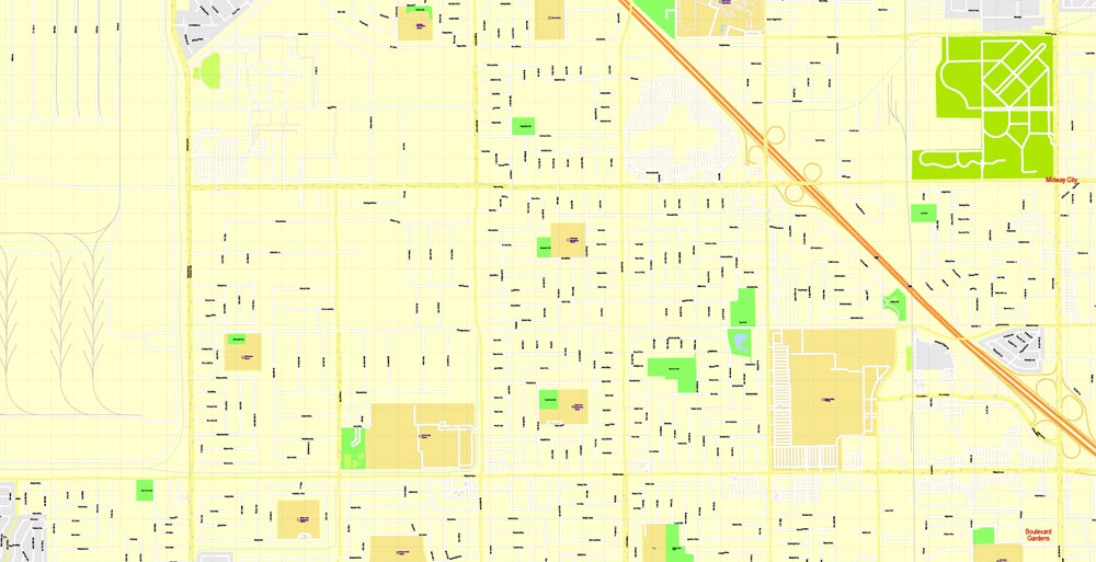
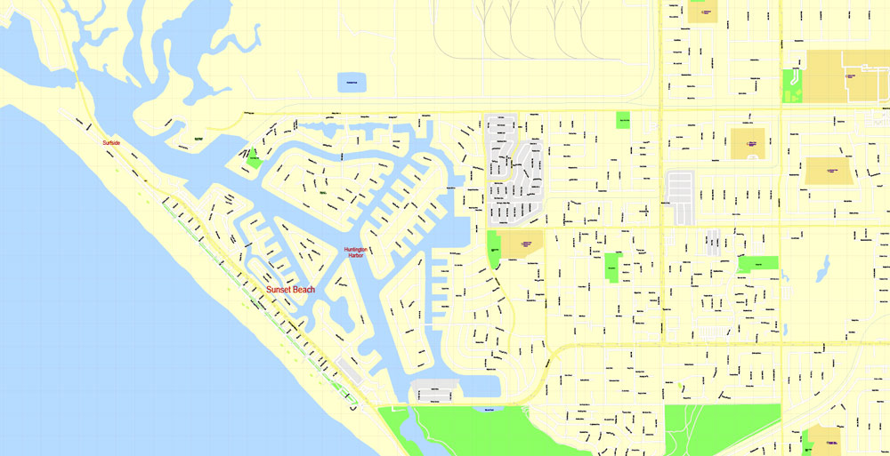
This is the most detailed, exact map of Long Beach for high-quality printing and polygraphy. You can always clarify the map development date by contacting us.
For your convenience, all objects on Long Beach vector map are divided into layers. And the editing is very easy – colors, lines, etc.
You can easily add any objects needed (e.g. shops, salons, sale points, gas station or attraction) on any layer of Long Beach vector map.
Long Beach is a city on the Pacific Coast of the United States, within the Los Angeles metropolitan area of Southern California. As of 2010, its population was 462,257. It is the 39th most populous city in the United States and the 7th most populous in California. Long Beach is the second-largest city in the Los Angeles metropolitan area and the third largest in Southern California behind Los Angeles and San Diego. Long Beach is a charter city.
One of the advantages of Long Beach vector maps of our production is the relevance of cartographic data, we constantly update all our products.
This vector map of Long Beach is used by:
designers, layout designers, printers, advertisers and architects. Our product – vector maps – is designed for further editing and printing in large formats – from @Wall format (a few meters) to A-0 and A-1, A-2, A-3.
The Long Beach map in vector format is used for design, urban planning, presentations and media visualizations.
The advertising and presentation map of Long Beach (usually the final designer marks the routes, and puts the client’s objects (shops, saloons, gas stations etc.)
The undoubted advantage is that people will NEVER throw out this advertising product – the map. In fact, as an advertising medium, a map is the most “long-playing” of the well-known polygraphic advertising media, with the longest lifespan, and the maximum number of interactions with the customer.
For travelers, maps are sold at the airports and gas stations around the world. Often the source is our vector maps.
Take a look, who purchases our vector maps of Long Beach in “Our Clients and Friends” page – these are large and small companies, from super-brands like Volvo and Starbucks, to small design studios and printing houses.
It’s very easy to work with vector maps of Long Beach city, even for a not very experienced designer who can turn on and off the map layers, add new objects, change the colors of fill and lines according to customer requirements.
The undoubted advantage of Long Beach vector maps in printing is an excellent and detailed visualization, when customer can expand a large paper map and instantly define his location, find a landmark, an object or address on map, unlike using the popular electronic formats of Google and Yandex maps for example.
Printable vector maps of Long Beach are much more convenient and efficient than any electronic maps on your smartphone, because ALL DETAILS are displayed in the entire space of Long Beach map.
The Port of Long Beach is the second busiest container port in the United States and is among the world’s largest shipping ports. The city also maintains a progressively declining oil industry with minor wells located both directly beneath the city as well as offshore. Manufacturing sectors include those in aircraft, automotive parts, electronic equipment, audiovisual equipment, petrochemicals, precision metals and home furnishings.
Useful tips on working with vector maps of cities and countries in Adobe Illustrator.
«V» – launches the Selection tool (cursor, black arrow), which makes active any vector line.
«А» – launches the Direct Selection tool (white cursor), allows you to select curve elements and drag them to the desired place.
«R» – activates the Rotate tool, which helps you rotating selected objects around the center point by 360 degrees.
«E» – gives you the opportunity to use the Eraser tool and erase unnecessary parts.
«X» – switches between Fill and Stroke in the Tools section. Try to get used to this hot key and
you will quickly understand that you can’t live and work without it.
Guides are not limited to vertical and horizontal in Adobe Illustrator. You can also create a diagonal guide for example. Moreover, you can turn any contours into guides. Select the outline and go to View > Guides > Make Guides (Create Guides), or simply press Cmd/Ctrl + 5. You can also turn the guides back into an editable object. Go to menu, View > Guides > Unlock Guides (Release Guides), select the guide you want to edit and select View > Guides > Release Guides (Reset Guides), or just press Cmd/Ctrl + Option / Alt + 5).
You will probably want to change the color scheme used on our Long Beach vector map.
To quickly and effectively play with colors.
Of course, you can do it manually, all objects in our Long Beach vector map are divided according to types and layers, and you can easily change the color gamma of vector objects in groups and layers.
But there is more effective way of working with the whole VECTOR MAP of Long Beach and all layers:
The overview dialog «Edit colors»/«Repaint Graphic Object» (this dialog box name can change depending on the context):
If you have selected a part or a layer of Long Beach vector map and open the dialog box by clicking the icon in the Control panel, on the Samples palette or the Color Catalog, or if you choose Edit > Edit Colors> Repaint Graphic Object, then the «Repaint Graphic Object» dialog box appears, and you get access to «Assign» and «Edit» tabs.
If a picture or a map fragment is not selected, and you open the dialog box by clicking the icon in the Control panel, on the Samples palette or in the Color Catalog, the «Edit Colors» dialog box appears and you can only access the «Edit» tab.
Regardless of the name at the top of the dialog box, the right-hand side always displays the color group of the current document, as well as two default color groups: Print Color and Grayscale. These color groups can be selected and used any time.
Create and edit color groups of Long Beach vector map, and also assign colors using the «Edit Colors»/ а «Repaint Graphic Object» dialog box.
A. Creating and editing of a color group on the «Edit» tab
B. Assigning colors on the «Assign» tab
C. Select a group of colors from the «Color groups» list
The option «Repaint a graphic object» in the lower part of the dialog box allows you to preview the colors on a selected layer of Vector map, or a group of elements, and specify whether its colors will be redefined when the dialog box is closed.
The main areas of the dialog box are:
«Edit»
The «Edit» tab is designed to create a new or edit the existing color groups.
The harmony rules Menu and the Color Wheel are used to conduct experiments with color harmonies. The color wheel shows how colors are related in color harmony, and the color bars allow you to view and manipulate an individual color values. In addition, you can adjust the brightness, add and remove colors, save color groups and view colors on the selected Vector Map of Long Beach or a separated layers.
«Assign»
The «Assign» tab is used to view and control on how the original colors are replaced with colors from the color group like your corporate colors in the Vector Map of Long Beach city.
The assign color ability is provided only if the entire map, layer or fragment is selected in the document. You can specify which of new colors replace the current colors, whether the spot colors should be preserved and how colors are replaced (for example, you can replace colors completely or changing the color tone while maintaining the brightness). The «Assign» tab allows you to redefine colors in the Vector Map of Long Beach city, or in separate layers and fragments using the current color group or reducing the number of colors in the current Vector Map.
Color groups
Is a list of all saved color groups for current document (the same groups appear in the «Samples» palette). You can edit and delete the existing color groups, as well as creating a new ones using the list of “Color Groups” in the dialog box. All changes appear in the «Samples» palette.
The highlighted color group shows, which color group is currently edited.
Any color group can be selected and edited, or used to redefine the colors in the selected vector map of Long Beach city, its fragments or elements.
Saving a color group adds this group to the specified list.
Opening the «Edit Colors»/«Repaint Graphic Object» dialog box.
Open the «Edit Colors»/«Repaint Graphic Object» dialog box using one of the following methods:
«Edit»> «Edit Colors»> «Repaint Graphic object» or «Repaint With Style».
Use these commands if you need to edit the colors in the selected vector map of Long Beach city.
«Repaint Graphic object» button on the «Control» panel.
Use this button if you need to adjust colors of Long Beach vector map using the а «Repaint graphic object» dialog box.
The specified button is available if the selected vector map or its fragment contains two or more colors.
Note. This color editing method is convenient for global color adjustment in a vector map, if global colors were not used when creating a Map of Long Beach.
The «Edit colors» button or «Edit or apply colors» on the «Color Catalog» palette
Click this button if you need to edit colors on the «Color Catalog» palette or edit and then apply them to the selected Vector Map of Long Beach or its fragment.
The «Edit color group» button or «Edit or apply color group» on the «Samples» palette.
Click this button if you need to edit the colors in the specific color group or edit and apply them to the selected Vector Map of Long Beach or a group of its elements, for example, the whole layer “Streets and lines”. You can also double-click the color group in the Samples panel to open the dialog box.
If the map file is too large and your computer freezes or even can’t open it quickly:
1. Try to reduce the color resolution of the video card (display) to 256 colors while working with a large map.
2. Using Windows Task Manager, select all the application you don’t need, while working with map, just turn them off.
3. Launch Adobe Illustrator. (DO NOT OPEN the vector map file)
4. Start the Windows Task Manager using administrator rights > Find the “Illustrator” process > set the «real time» priority,
5. Open the file. When you see the LEGACY FONT popup window – click “OK” (do not update). You can restore the TEXT later.
6. Can also be useful: When file is opened – Edit > Settings > Basic Settings > disable smoothing. /// It looks scary, but works quickly)))
We recommend saving the file in Adobe Illustrator 10 version. It’s much more stable when working with VERY BIG size files.
Long Beach lies in the southeastern corner of Los Angeles County and borders Orange County. Downtown Long Beach is approximately 22 miles (35 km) south of downtown Los Angeles, though the two cities share an official border for several miles.
Geography
Long Beach is located at 33° 47′ North, 118° 10′ West, about 20 miles (32 km) south of downtown Los Angeles. According to the United States Census Bureau, the city has a total area of 51.437 square miles (133.2 km2), of which 50.293 square miles (130.3 km2) is land and 1.144 square miles (2.96 km2) (2.22%) is water. Long Beach completely surrounds the city of Signal Hill.
Neighborhoods
Main article: Neighborhoods of Long Beach, California
Neighborhood map of the City of Long Beach, CA
Long Beach is composed of many different neighborhoods. Some neighborhoods are named after thoroughfares, while others are named for nearby parks, schools, or city features.
Long Beach
City in California
Long Beach is a coastal city and port in Southern California. Moored in its Queensway Bay, RMS Queen Mary is a retired ocean liner and museum ship. The waterfront Aquarium of the Pacific features touch tanks and a shark lagoon. Modern and contemporary works are on display at the Museum of Latin American Art. Rancho Los Cerritos is a 19th-century adobe home and museum set in expansive gardens.
Area
• City 62.3 sq mi (133.223 km2)
• Land 50.293 sq mi (130.259 km2)
• Water 10.2 sq mi (2.964 km2) 2.22%
• Metro 4,850.3 sq mi (12,562 km2)
Elevation 52 ft (16 m)
Population
• City 510,000
• Estimate 492,969
• Rank 2nd in Los Angeles County
7th in California
36th in the United States
• Metro 1,282,837
• Metro density 260/sq mi (100/km2)
• CSA 1,787,006

Free Download Vector Map US County and State Adobe Illustrator
Free_Vector_Map_US_States_County_Map.ai
Free Download Vector Map US County and State Adobe PDF
Free_Vector_Map_US_States_County_Map.pdf

Free Download Vector Map US With States Names, Adobe Illustrator
Free_Map_of_USA_with_state_names_en.ai
Free Download Vector Map US With States Names, Adobe PDF
Free_Map_of_USA_with_state_names_en.pdf
From WIKI
Free vector map World, Adobe Illustrator, download now maps vector clipart
Map for design, projects, presentation free to use as you like.
See also: TERMS & CONDITIONS: SOFTWARE LICENSE AGREEMENT FOR DIGITAL CARTOGRAPHIC DATA.
Need more USA Vector Maps, printable and editable?
 full editable, Adobe Illustrator")
 full editable, Adobe Illustrator")
 full editable, Adobe Illustrator")
 full editable, Adobe Illustrator")
 full editable, Adobe Illustrator")
 full editable, Adobe Illustrator")
 full editable, Adobe Illustrator")
 full editable, Adobe Illustrator")
 full editable, Adobe Illustrator")
 full editable, Adobe Illustrator")
 full editable, Adobe Illustrator")
 full editable, Adobe Illustrator")
 full editable, Adobe Illustrator")
 full editable, Adobe Illustrator")
 full editable, Adobe Illustrator")
 full editable, Adobe Illustrator")
 full editable, Adobe Illustrator")
 full editable, Adobe Illustrator")
 full editable, Adobe Illustrator")
 full editable, Adobe Illustrator")
 full editable, Adobe Illustrator")
 full editable, Adobe Illustrator")
 full editable, Adobe Illustrator")
 full editable, Adobe Illustrator")
 full editable, Adobe Illustrator")
 full editable, Adobe Illustrator")
 full editable, Adobe Illustrator")
 full editable, Adobe Illustrator")
 full editable, Adobe Illustrator")
 full editable, Adobe Illustrator")
 full editable, Adobe Illustrator")
 full editable, Adobe Illustrator")
 full editable, Adobe Illustrator")
 full editable, Adobe Illustrator")

 Author: Kirill Shrayber, Ph.D. FRGS

