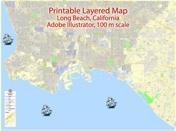
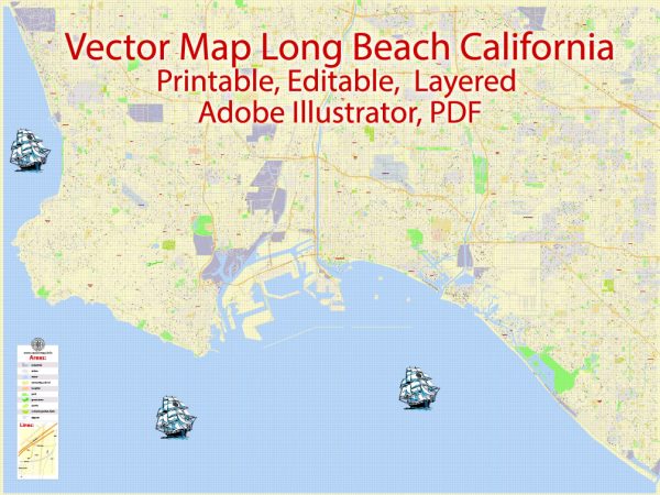
Long Beach, California, has a rich industrial history shaped by its strategic location, natural resources, and economic development over the years. The city’s industrial landscape has been significantly influenced by its busy port, one of the largest and busiest in the United States. Additionally, the road system in Long Beach plays a crucial role in supporting the transportation of goods and people, facilitating economic activities and connectivity.
Vectormap.Net provide you with the most accurate and up-to-date vector maps in Adobe Illustrator, PDF and other formats, designed for editing and printing. Please read the vector map descriptions carefully.
Industrial History:
1. Oil Industry:
- Long Beach’s industrial roots can be traced back to the discovery of oil in the early 20th century. The discovery of oil in the region in 1921 led to a boom in the oil industry, transforming the city’s economy. Oil refineries and drilling operations became prominent features of the industrial landscape.
2. Aerospace Industry:
- Long Beach has also been a significant hub for the aerospace industry. Douglas Aircraft Company, now part of Boeing, established a major manufacturing facility in Long Beach during World War II. The city became a key player in the production of military aircraft and played a vital role in the post-war aerospace industry.
3. Port of Long Beach:
- The Port of Long Beach, established in 1911, is one of the busiest seaports in the United States and a major gateway for trade with the Pacific Rim. It has undergone extensive expansion and modernization over the years, enhancing its capacity and efficiency.
- The port handles a diverse range of cargo, including containers, automobiles, petroleum, and more. It is a key economic driver for Long Beach and the surrounding region, facilitating international trade and commerce.
Port of Long Beach:
1. Container Terminals:
- The port is equipped with state-of-the-art container terminals that handle millions of twenty-foot equivalent units (TEUs) annually. It is a major gateway for goods entering and leaving the United States, particularly those from Asia.
2. Infrastructure and Facilities:
- The Port of Long Beach has invested heavily in infrastructure, including deep-water channels, modern cranes, and storage facilities. This infrastructure allows for the efficient handling of various types of cargo, contributing to the port’s competitiveness on a global scale.
3. Environmental Initiatives:
- Recognizing the importance of sustainability, the port has implemented various environmental initiatives. These include the use of shore power to reduce emissions, promoting the use of electric vehicles, and investing in green technologies to minimize the environmental impact of its operations.
Road System:
1. Freeways and Highways:
- Long Beach is well-connected to the broader Southern California region through an extensive network of freeways and highways. Interstate 710, also known as the Long Beach Freeway, is a major transportation artery that connects the city to the national highway system.
2. Local Roads:
- The city has a well-developed network of local roads and streets, facilitating the movement of goods and people within the city. The road system is designed to support the industrial activities around the port and the broader economic needs of the community.
3. Infrastructure Upgrades:
- Long Beach has invested in infrastructure upgrades to improve road safety, reduce congestion, and enhance transportation efficiency. These efforts contribute to the seamless flow of goods from the port to distribution centers and beyond.
In summary, Long Beach, California, has a diverse and dynamic industrial history shaped by oil, aerospace, and its bustling port. The Port of Long Beach stands as a vital gateway for international trade, while the well-developed road system supports the movement of goods and people, contributing to the city’s economic prosperity.


 Author: Kirill Shrayber, Ph.D.