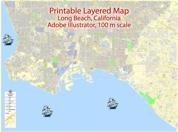
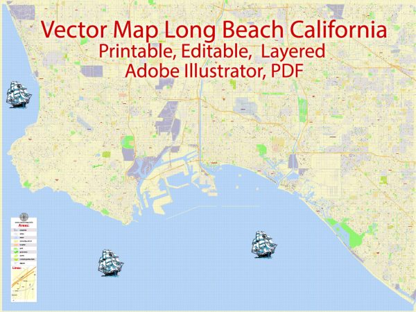
Long Beach, California, is a vibrant coastal city with a rich network of waterways, bridges, and main streets. Here’s a description of some of the principal waterways, bridges, and main streets in Long Beach:
Waterways:
- Long Beach Harbor: The Port of Long Beach is one of the busiest and most significant ports in the United States. It serves as a gateway for trade between the United States and the Pacific Rim.
- Los Cerritos Channel: This channel connects the Long Beach Harbor to the Los Angeles River. It plays a crucial role in facilitating maritime traffic and commerce.
- Alamitos Bay: Located to the east of the city, Alamitos Bay is a picturesque body of water with marinas, beaches, and recreational facilities.
Bridges:
- Gerald Desmond Bridge: This iconic bridge spans the Back Channel of the Port of Long Beach, connecting the city to Terminal Island. It has recently been replaced by a new, higher, and more modern cable-stayed bridge.
- Vincent Thomas Bridge: While not directly in Long Beach, the Vincent Thomas Bridge is a prominent landmark connecting San Pedro (Los Angeles) to Terminal Island. It offers stunning views of the harbor and the surrounding areas.
Main Streets:
- Ocean Boulevard: Running along the coast, Ocean Boulevard is a major thoroughfare offering breathtaking views of the Pacific Ocean. It is home to popular attractions such as Shoreline Village, the Long Beach Convention Center, and the Aquarium of the Pacific.
- Pine Avenue: This street is part of the downtown area and is lined with shops, restaurants, and entertainment venues. It’s a bustling hub for nightlife and cultural events.
- Broadway: Located in the heart of downtown Long Beach, Broadway is a historic street with a mix of shops, theaters, and dining options. It reflects the city’s diverse and vibrant atmosphere.
- Shoreline Drive: Parallel to Ocean Boulevard, Shoreline Drive runs along the waterfront, providing access to recreational areas, parks, and the Long Beach Marina.
These waterways, bridges, and main streets contribute to Long Beach’s dynamic character, offering a mix of maritime, cultural, and recreational experiences for residents and visitors alike. The city’s coastal location, combined with its urban amenities, makes it a unique and appealing destination in Southern California.


 Author: Kirill Shrayber, Ph.D.