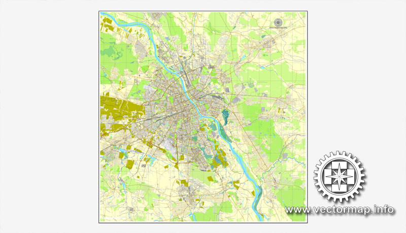
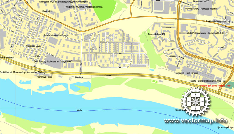
Warsaw, Poland, printable vector street City Plan map, full editable, Adobe PDF, full vector, scalable, editable, text format street names, 38 mb ZIP
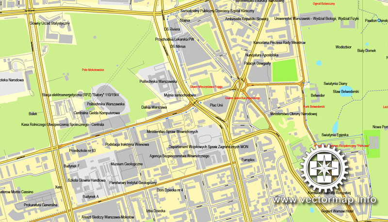
All streets, All buildings. Map for design, print, arts, projects, presentations,
for architects, designers and builders.
You can edit this file by Adobe Illustrator, Adobe Acrobat, Corel Draw.
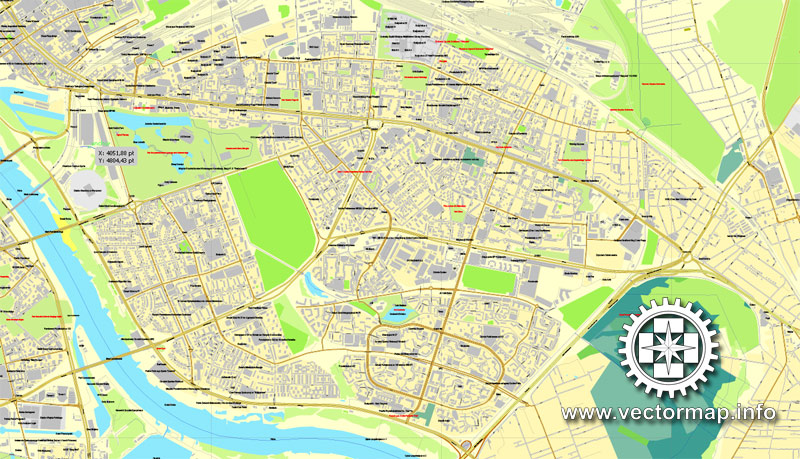
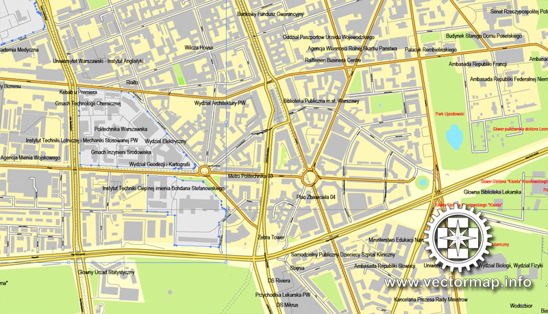
The most accurate and detailed map of the city.
DXF, DWG, CDR and other formats – on request, same price, please, contact
Warszawa, Polska, ulica wektor druku Plan Plan miasta, pełne edytowalne, Adobe PDF, pełne wektor, skalowalny edycji, formatowania tekstu nazwy ulic, 38 mb zip
Wszystkie ulice, wszystkie budynki. Mapa na projekt, druk, sztuki, projekty, prezentacje,
dla architektów, projektantów i budowniczych.
DXF, DWG, CDR i innych formatów – na żądanie, w tej samej cenie, prosimy o kontakt contact
Warsaw, Poland.
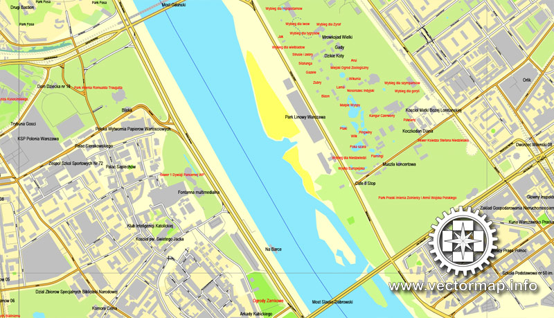
This vector map of Warsaw is used as a basis for design, editing, and further printing.
This is the most detailed, exact map of Warsaw for high-quality printing and polygraphy. You can always clarify the map development date by contacting us.
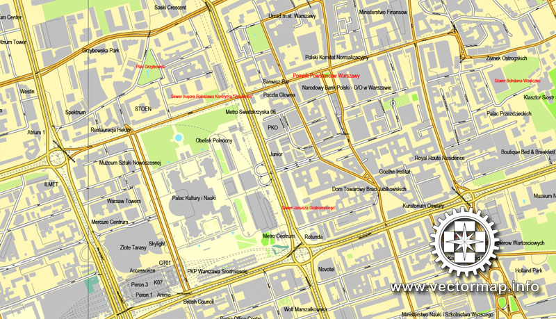
For your convenience, all objects on Warsaw vector map are divided into layers. And the editing is very easy – colors, lines, etc.
You can easily add any objects needed (e.g. shops, salons, sale points, gas station or attraction) on any layer of Warsaw vector map.
Warsaw is the capital and largest city of Poland. The metropolis stands on the Vistula River in east-central Poland and its population is officially estimated at 1.765 million residents within a greater metropolitan area of 3.1 million residents, which makes Warsaw the 8th most-populous capital city in the European Union. The city limits cover 516.9 square kilometres (199.6 sq mi), while the metropolitan area covers 6,100.43 square kilometres (2,355.39 sq mi). Warsaw is an alpha global city, a major international tourist destination, and a significant cultural, political and economic hub. Its historical Old Town was designated a UNESCO World Heritage Site.
One of the advantages of Warsaw vector maps of our production is the relevance of cartographic data, we constantly update all our products.
This vector map of Warsaw is used by:
designers, layout designers, printers, advertisers and architects. Our product – vector maps – is designed for further editing and printing in large formats – from @Wall format (a few meters) to A-0 and A-1, A-2, A-3.
Warsaw map in vector format is used for design, urban planning, presentations and media visualizations.
Advertising and presentation map of Warsaw (usually the final designer marks the routes, and puts the client’s objects (shops, saloons, gas stations etc.)
The undoubted advantage is that people will NEVER throw out this advertising product – the map. In fact, as an advertising medium, a map is the most “long-playing” of the well-known polygraphic advertising media, with the longest lifespan, and the maximum number of interactions with the customer.
For travelers, maps are sold at the airports and gas stations around the world. Often the source is our vector maps.
Once described as the Paris of the East, Warsaw was believed to be one of the most beautiful cities in the world until World War II. Bombed at the start of the German invasion in 1939, the city withstood a siege for which it was later awarded Poland’s highest military decoration for heroism, the Virtuti Militari. Deportations of the Jewish population to concentration camps led to the Warsaw Ghetto Uprising in 1943 and the destruction of the Ghetto after a month of combat. A general Warsaw Uprising between August and October 1944 led to even greater devastation and systematic razing by the Germans in advance of the Vistula–Oder Offensive. Warsaw gained the new title of Phoenix City because of its extensive history and complete reconstruction after World War II, which had left over 85% of its buildings in ruins.
Take a look, who purchases our vector maps of Warsaw in “Our Clients and Friends” page – these are large and small companies, from super-brands like Volvo and Starbucks, to small design studios and printing houses.
It’s very easy to work with vector maps of Warsaw, even for a not very experienced designer who can turn on and off the map layers, add new objects, change the colors of fill and lines according to customer requirements.
The undoubted advantage of Warsaw vector maps in printing is an excellent and detailed visualization, when customer can expand a large paper map and instantly define his location, find a landmark, an object or address on map, unlike using the popular electronic formats of Google and Yandex maps for example.
Printable vector maps of Warsaw are much more convenient and efficient than any electronic maps on your smartphone, because ALL DETAILS are displayed in the entire space of Warsaw map.
Useful tips on working with vector maps of cities and countries in Adobe Illustrator.
«V» – launches the Selection tool (cursor, black arrow), which makes active any vector line.
«А» – launches the Direct Selection tool (white cursor), allows you to select curve elements and drag them to the desired place.
«R» – activates the Rotate tool, which helps you rotating selected objects around the center point by 360 degrees.
«E» – gives you the opportunity to use the Eraser tool and erase unnecessary parts.
«X» – switches between Fill and Stroke in the Tools section. Try to get used to this hot key and
you will quickly understand that you can’t live and work without it.
Guides are not limited to vertical and horizontal in Adobe Illustrator. You can also create a diagonal guide for example. Moreover, you can turn any contours into guides. Select the outline and go to View > Guides > Make Guides (Create Guides), or simply press Cmd/Ctrl + 5. You can also turn the guides back into an editable object. Go to menu, View > Guides > Unlock Guides (Release Guides), select the guide you want to edit and select View > Guides > Release Guides (Reset Guides), or just press Cmd/Ctrl + Option / Alt + 5).
Warsaw is one of Europe’s most dynamic metropolitan cities. In 2012 the Economist Intelligence Unit ranked Warsaw as the 32nd most liveable city in the world. In 2017 the city came 4th in the “Business-friendly” category and 8th in “Human capital and life style”. It was also ranked as one of the most liveable cities in Central and Eastern Europe.
The city is a significant centre of research and development, Business process outsourcing, Information technology outsourcing, as well as of the Polish media industry. The Warsaw Stock Exchange is the largest and most important in Central and Eastern Europe. Frontex, the European Union agency for external border security as well as ODIHR, one of the principal institutions of the Organization for Security and Cooperation in Europe have their headquarters in Warsaw. Together with Frankfurt, London and Paris, Warsaw is also one of the cities with the highest number of skyscrapers in the European Union.
You will probably want to change the color scheme used on our Warsaw vector map.
To quickly and effectively play with colors.
Of course, you can do it manually, all objects in our Warsaw vector map are divided according to types and layers, and you can easily change the color gamma of vector objects in groups and layers.
But there is more effective way of working with the whole VECTOR MAP of Warsaw and all layers:
The overview dialog «Edit colors»/«Repaint Graphic Object» (this dialog box name can change depending on the context):
If you have selected a part or a layer of Warsaw vector map and open the dialog box by clicking the icon in the Control panel, on the Samples palette or the Color Catalog, or if you choose Edit > Edit Colors> Repaint Graphic Object, then the «Repaint Graphic Object» dialog box appears, and you get access to «Assign» and «Edit» tabs.
If a picture or a map fragment is not selected, and you open the dialog box by clicking the icon in the Control panel, on the Samples palette or in the Color Catalog, the «Edit Colors» dialog box appears and you can only access the «Edit» tab.
Regardless of the name at the top of the dialog box, the right-hand side always displays the color group of the current document, as well as two default color groups: Print Color and Grayscale. These color groups can be selected and used any time.
Create and edit color groups of Warsaw vector map, and also assign colors using the «Edit Colors»/ а «Repaint Graphic Object» dialog box.
A. Creating and editing of a color group on the «Edit» tab
B. Assigning colors on the «Assign» tab
C. Select a group of colors from the «Color groups» list
The option «Repaint a graphic object» in the lower part of the dialog box allows you to preview the colors on a selected layer of Vector map, or a group of elements, and specify whether its colors will be redefined when the dialog box is closed.
The city is the seat of the Polish Academy of Sciences, Warsaw National Philharmonic Orchestra, University of Warsaw, the Warsaw Polytechnic, the National Museum, the Great Theatre—National Opera, the largest of its kind in the world, and the Zachęta National Gallery of Art. The picturesque Old Town of Warsaw, which represents examples of nearly every European architectural style and historical period, was listed as a World Heritage Site by UNESCO in 1980. Other main architectural attractions include the Castle Square with the Royal Castle and the iconic King Sigismund’s Column, the Wilanów Palace, the Łazienki Palace, St. John’s Cathedral, Main Market Square, palaces, churches and mansions all displaying a richness of colour and detail. Warsaw is renowned for its bars, restaurants, art galleries and, most notably, several dozen museums and outspread greenery, with around a quarter of the city’s area occupied by parks.
The main areas of the dialog box are:
«Edit»
The «Edit» tab is designed to create a new or edit the existing color groups.
The harmony rules Menu and the Color Wheel are used to conduct experiments with color harmonies. The color wheel shows how colors are related in color harmony, and the color bars allow you to view and manipulate an individual color values. In addition, you can adjust the brightness, add and remove colors, save color groups and view colors on the selected Vector Map of Warsaw or a separated layers.
«Assign»
The «Assign» tab is used to view and control on how the original colors are replaced with colors from the color group like your corporate colors in the Vector Map of Warsaw.
The assign color ability is provided only if the entire map, layer or fragment is selected in the document. You can specify which of new colors replace the current colors, whether the spot colors should be preserved and how colors are replaced (for example, you can replace colors completely or changing the color tone while maintaining the brightness). The «Assign» tab allows you to redefine colors in the Vector Map of Warsaw, or in separate layers and fragments using the current color group or reducing the number of colors in the current Vector Map.
Color groups
Is a list of all saved color groups for current document (the same groups appear in the «Samples» palette). You can edit and delete the existing color groups, as well as creating a new ones using the list of “Color Groups” in the dialog box. All changes appear in the «Samples» palette.
The highlighted color group shows, which color group is currently edited.
Any color group can be selected and edited, or used to redefine the colors in the selected vector map of Warsaw, its fragments or elements.
Saving a color group adds this group to the specified list.
Opening the «Edit Colors»/«Repaint Graphic Object» dialog box.
Open the «Edit Colors»/«Repaint Graphic Object» dialog box using one of the following methods:
«Edit»> «Edit Colors»> «Repaint Graphic object» or «Repaint With Style».
Use these commands if you need to edit the colors in the selected vector map of Warsaw.
«Repaint Graphic object» button on the «Control» panel.
Use this button if you need to adjust colors of Warsaw vector map using the а «Repaint graphic object» dialog box.
The specified button is available if the selected vector map or its fragment contains two or more colors.
Note. This color editing method is convenient for global color adjustment in a vector map, if global colors were not used when creating a Map of Warsaw.
The «Edit colors» button or «Edit or apply colors» on the «Color Catalog» palette
Click this button if you need to edit colors on the «Color Catalog» palette or edit and then apply them to the selected Vector Map of Warsaw or its fragment.
The «Edit color group» button or «Edit or apply color group» on the «Samples» palette.
Click this button if you need to edit the colors in the specific color group or edit and apply them to the selected Vector Map of Warsaw or a group of its elements, for example, the whole layer “Streets and lines”. You can also double-click the color group in the Samples panel to open the dialog box.
If the map file is too large and your computer freezes or even can’t open it quickly:
1. Try to reduce the color resolution of the video card (display) to 256 colors while working with a large map.
2. Using Windows Task Manager, select all the application you don’t need, while working with map, just turn them off.
3. Launch Adobe Illustrator. (DO NOT OPEN the vector map file)
4. Start the Windows Task Manager using administrator rights > Find the “Illustrator” process > set the «real time» priority,
5. Open the file. When you see the LEGACY FONT popup window – click “OK” (do not update). You can restore the TEXT later.
6. Can also be useful: When file is opened – Edit > Settings > Basic Settings > disable smoothing. /// It looks scary, but works quickly)))
We recommend saving the file in Adobe Illustrator 10 version. It’s much more stable when working with VERY BIG size files.
Location and topography
Warsaw lies in east-central Poland about 300 km (190 mi) from the Carpathian Mountains and about 260 km (160 mi) from the Baltic Sea, 523 km (325 mi) east of Berlin, Germany. The city straddles the Vistula River. It is located in the heartland of the Masovian Plain, and its average elevation is 100 metres (330 ft) above sea level. The highest point on the left side of the city lies at a height of 115.7 metres (379.6 ft) (“Redutowa” bus depot, district of Wola), on the right side – 122.1 metres (400.6 ft) (“Groszówka” estate, district of Wesoła, by the eastern border). The lowest point lies at a height 75.6 metres (248.0 ft) (at the right bank of the Vistula, by the eastern border of Warsaw). There are some hills (mostly artificial) located within the confines of the city – e.g. Warsaw Uprising Hill (121 metres (397.0 ft)) and Szczęśliwice hill (138 metres (452.8 ft) – the highest point of Warsaw in general).
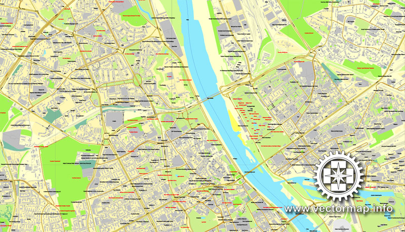
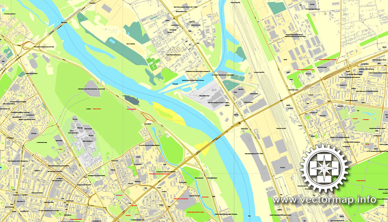
Warsaw is located on two main geomorphologic formations: the plain moraine plateau and the Vistula Valley with its asymmetrical pattern of different terraces. The Vistula River is the specific axis of Warsaw, which divides the city into two parts, left and right. The left one is situated both on the moraine plateau (10 to 25 m (32.8 to 82.0 ft) above Vistula level) and on the Vistula terraces (max. 6.5 m (21.3 ft) above Vistula level). The significant element of the relief, in this part of Warsaw, is the edge of moraine plateau called Warsaw Escarpment. It is 20 to 25 m (65.6 to 82.0 ft) high in the Old Town and Central district and about 10 m (32.8 ft) in the north and south of Warsaw. It goes through the city and plays an important role as a landmark.
The plain moraine plateau has only a few natural and artificial ponds and also groups of clay pits. The pattern of the Vistula terraces is asymmetrical. The left side consists mainly of two levels: the highest one contains former flooded terraces and the lowest one the flood plain terrace. The contemporary flooded terrace still has visible valleys and ground depressions with water systems coming from the old Vistula – riverbed. They consist of still quite natural streams and lakes as well as the pattern of drainage ditches. The right side of Warsaw has a different pattern of geomorphological forms. There are several levels of the Vistula plain terraces (flooded as well as formerly flooded), and only a small part is a not so visible moraine escarpment. Aeolian sand with a number of dunes parted by peat swamps or small ponds cover the highest terrace. These are mainly forested areas (pine forest).
See also:
Free map Poland
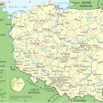
Warsaw
Capital of Poland
Warsaw is the sprawling capital of Poland. Its widely varied architecture reflects the city’s long, turbulent history, from Gothic churches and neoclassical palaces to Soviet-era blocks and modern skyscrapers. As Poland’s cultural hub, Warsaw has a thriving nightlife and music scene, both classical and underground. After near-total destruction in WWII, Warsaw’s old town was faithfully restored to its pre-war appearance.
Area: 517 km²
Poland country profile
A nation with a proud cultural heritage, Poland can trace its roots back over 1,000 years. Positioned at the centre of Europe, it has known turbulent and violent times.
There have been periods of independence as well as periods of domination by other countries. Several million people, half of them Jews, died in World War II.
A new era began when Poland became an EU member in May 2004, five years after joining Nato and 15 years after the end of communist rule.
It was the birthplace of the former Soviet bloc’s first officially recognised independent mass political movement when strikes at the Gdansk shipyard in August 1980 led to agreement with the authorities on the establishment of the Solidarity trade union.
Republic of Poland
http://www.bbc.com/news/world-europe-17753718
Small guide: How to work with the vector map?
You can: Mass select objects by type and color – for example, the objects type “building” (they are usually dark gray) – and remove them from the map, if you do not need them in your print or design project. You can also easily change the thickness of lines (streets), just bulk selection the road by the line color.
The streets are separated by type, for example, type “residential road” are usually white with a gray stroke. Highway usually orange with a brown or dark gray stroke.
It is easy to change the font of inscriptions, all or each individually. Also, just can be make and any other manipulation of objects on the vector map in Adobe illustrator format.
Important: All the proportions on the map are true, that is, the relative sizes of the objects are true, because Map is based on an accurate GPS projection, and It transated into the (usual for all) the Mercator projection.
You can easily change the color, stroke and fill of any object on the map, zoom without loss of quality Image Verification.
Select object

Bulk selection the same objects on the vector map

See the bulk selected objects on the vector map

Bulk delete buildungs from the vector map

Select residencial road (small street) on the vector map

Bulk selection the same lines (streets, roads) on the full map

Create fat lines of the streets on the vector maps (bulk action) 1

Create fat lines of the streets on the vector maps (bulk action) 2

Create fat lines of the streets on the vector maps (bulk action) 3

You can easily change the color, stroke and fill of any object on the map, zoom without loss of quality Image Verification.

 Author: Kirill Shrayber, Ph.D. FRGS
 Street Map editable Adobe Illustrator in layers")


 Street Map editable Adobe Illustrator in layers")