Warsaw is the official capital of Poland, the largest city in this country, and for many centuries has occupied a dominant position in its political and cultural arena. Once one of the most beautiful cities in Eastern Europe, Warsaw was catastrophically badly destroyed during the occupation by Nazi troops. Despite the fact that many monuments and structures of medieval Warsaw were restored, most of the city was rebuilt in a modern style. Mirrored skyscrapers, busy streets, and neighborhoods contrast sharply with the quiet streets and low-rise buildings of the Old City.
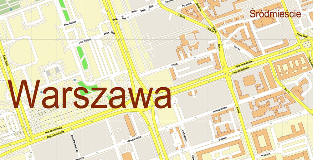
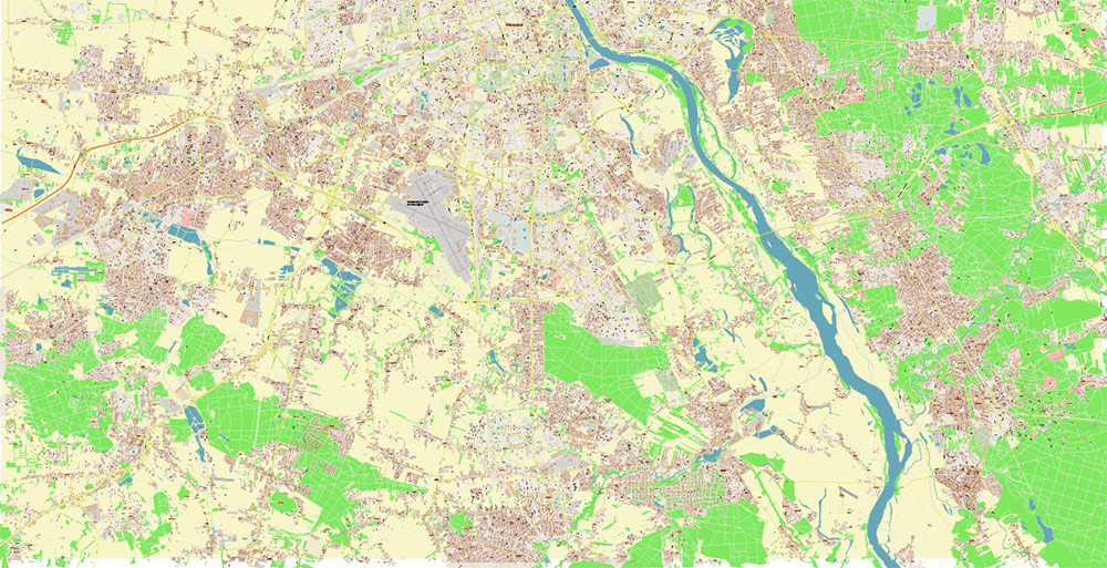
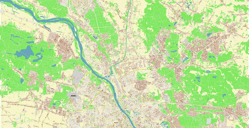
The City of Warsaw is built on the Vistula River, which determined its rapid economic development. The first mention of Warsaw can be found in the XIV century, namely, in manuscripts dated 1321 and 1342. Warsaw became the capital of Poland in 1596, and today the city is the largest in the country in terms of population and area. Administratively, the city is divided into 18 districts located on both banks of the river. The historical center called the Old Town, and the modern central districts are located on the west bank of the river, where all the main attractions are concentrated.
There is a very beautiful legend associated with the foundation of the city. According to it, the name Warsaw includes two names: Varsh and Sava. Varsh is a young fisherman who once met the beautiful mermaid Sava on the Vistula River. As is customary in all legends, they fell in love with each other, but they could not be together, because they belonged to different worlds, so they were together after death. In honor of this couple, the city was named, the mermaid is even depicted on the coat of arms of Warsaw and is one of the symbols of the city.
There is another version of the story about the origin of the capital of Poland. A certain Prince Casimir once got lost in a dense forest while hunting. After wandering for a while, he came to the banks of the Vistula River, where there was a fishing hut. Going there, he saw a happy family of a fisherman, in which two beautiful babies had just been born. My parents decided to name them Varsh and Sava. Prince Casimir became their godfather, and as a sign of gratitude for the hospitality and honor of the godfather, he awarded the fisherman’s family. With this money, the fisherman built a new strong house, and other fishermen began to build around it over time. Thus, a small town called Warsaw was founded.
But all this is legend and history, which for many centuries have intertwined so closely that it is already quite difficult to say where the truth is and where the fiction is. In fact, the city is no less beautiful than the legends about its foundation. To visit all the sights and enjoy them, you will hardly need a few days. After all, each such place needs to be experienced, each attraction keeps the history of the past days and can tell you a lot.
Main attractions
Since the 14th century, Poland, and in particular Warsaw, has taken a very serious place in the religious life of all of Europe. This has contributed to the fact that there are a lot of churches, churches, town halls, and other monuments of religious architecture in Warsaw.
The most significant are considered to be the Alexander Nevsky Cathedral, built-in 1900 and once considered the tallest building in the city; the Cathedral of Mary Magdalene, built-in 1869; the Catholic Church of St. Martinianus; the Cathedral of the Holy Spirit, built-in 1867. This is not a complete list, and each of the above churches and cathedrals has its own beautiful architecture and interesting history.
But the capital of Poland is famous not only for its religious attractions, so the next section of your tour may well be the “palaces of Warsaw“. Here you can note the Chapsky Palace, the Ostrozhsky Palace, the Uyazdovsky Castle, and many other interesting sights. The architecture of the city brings together completely different styles and eras, which is perfectly visible when visiting various Warsaw residences, palaces, and castles. Each of them has its own zest, its own character, but among all of them, I especially want to draw your attention to the famous Royal Palace.
The palace is rightly called the heart of old Warsaw, it is located on the beautiful Castle Square in the historical center of the city. This castle was created at the turn of the XVI-XVII centuries (to be more precise, somewhere between 1596 and 1620) by the order of the Grand Duke of Lithuania Sigismund Vaza. Before building the palace itself, he ordered the construction of a special platform, so that at a glance it was clear that this is the most magnificent building in Warsaw. The shape of the elevation was similar to the pentagon, on which the royal palace itself was later built. During the Second World War, the palace was completely destroyed, but since 1971, large-scale restoration work has been carried out, and today the palace has been restored almost completely. Also in the building of the palace is the Museum of Art, where you can see the paintings of Rembrandt and Bellotto.
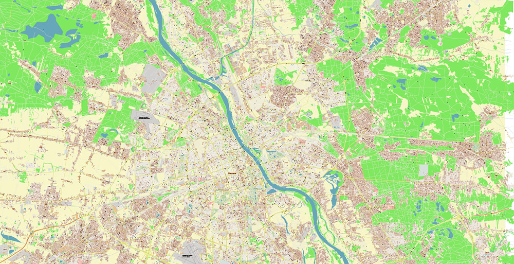
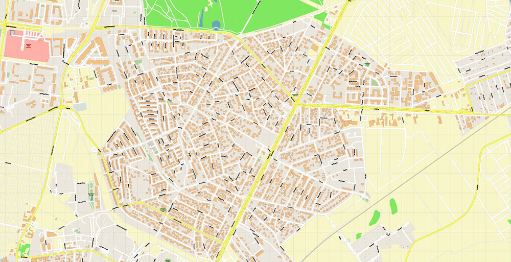
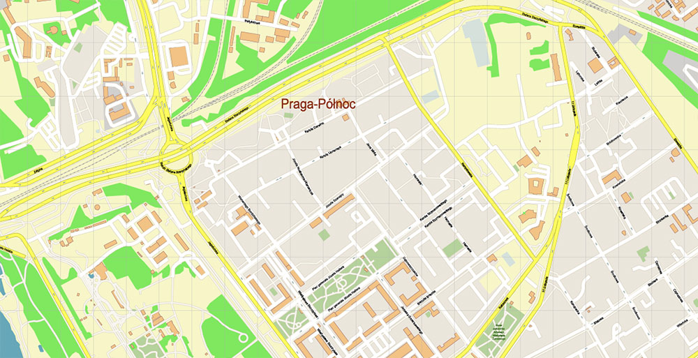
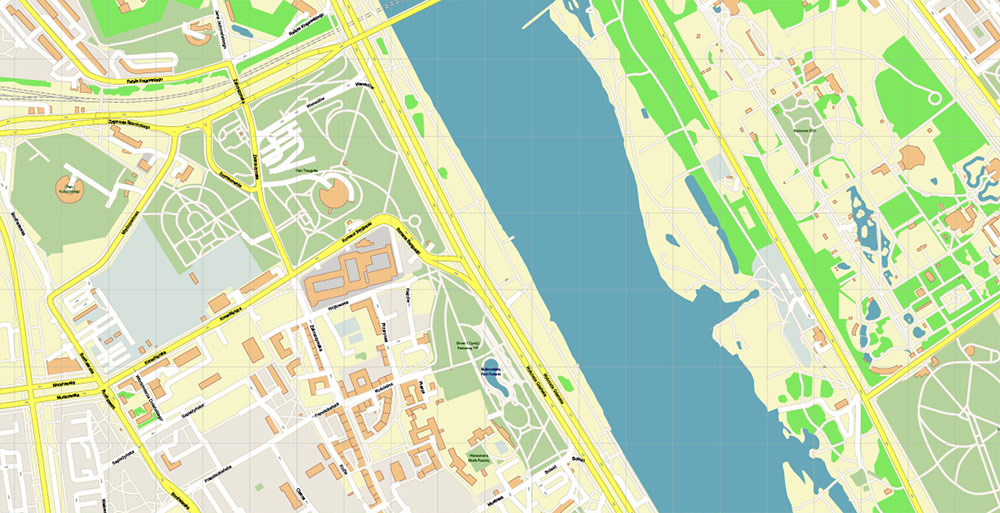
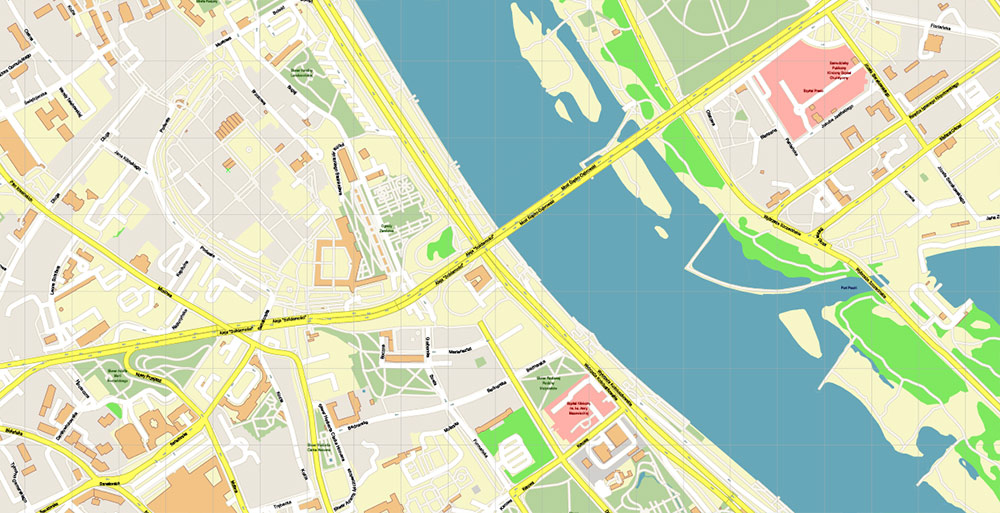
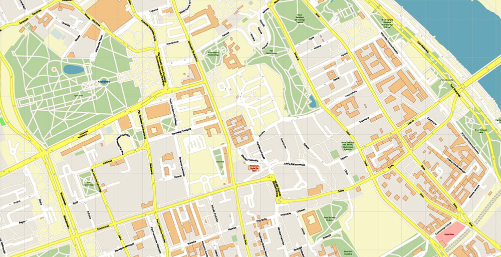
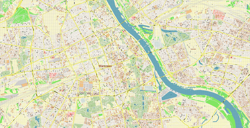
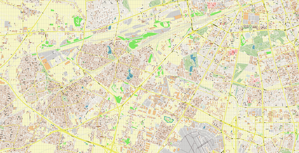
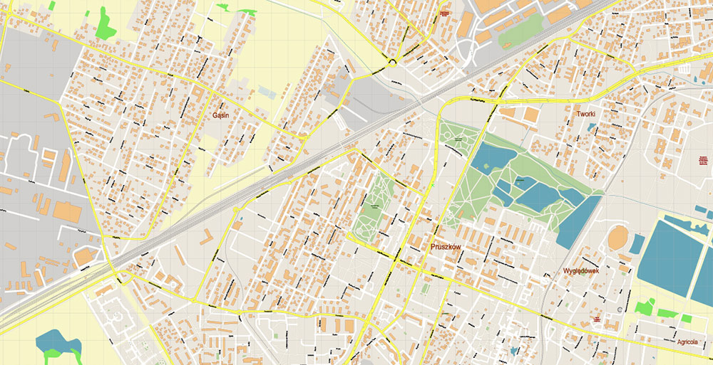
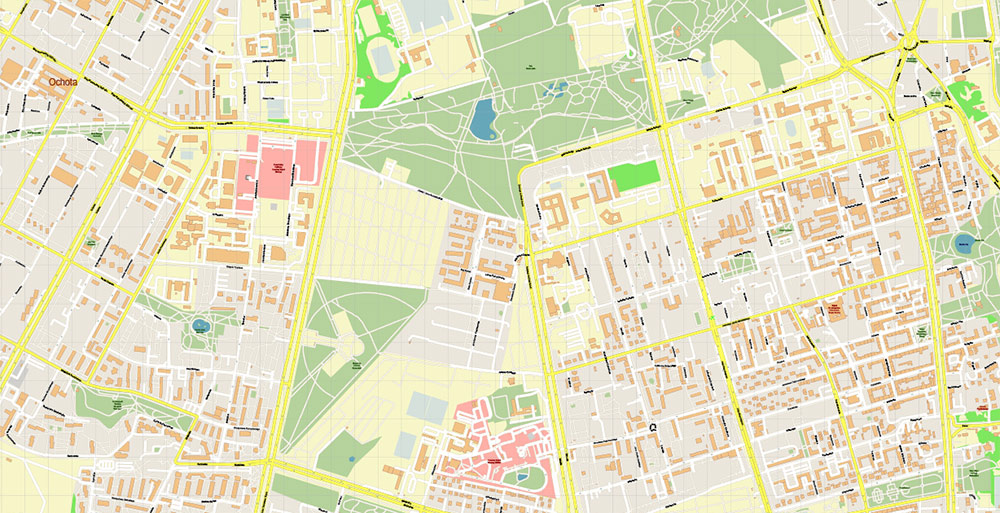
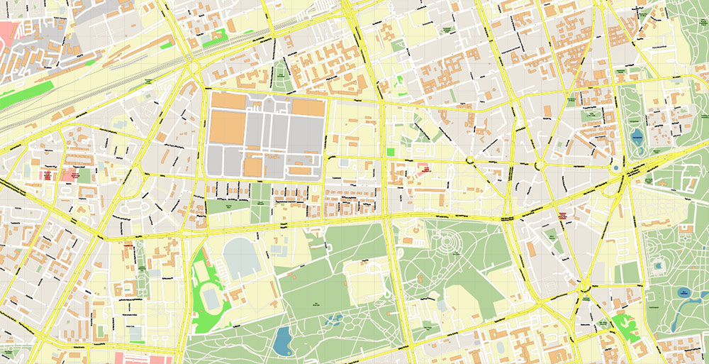
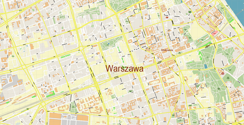
Printable Vector Map of Warsaw \ Warszawa Poland detailed City Plan scale 1:2877 full editable Adobe Illustrator Street Map in layers, scalable, text / curves format all names, 76 MB ZIP
All street names, Main Objects, Buildings. Map for design, printing, arts, projects, presentations, for architects, designers, and builders, business, logistics.
Need AutoCAD DWG / DXF? Please, contact us!
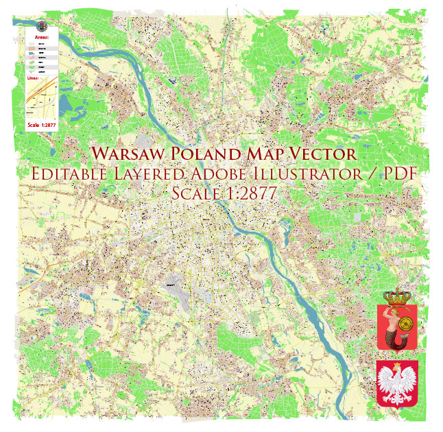
Warsaw Warszawa Poland Map Vector Accurate High Detailed City Plan editable Adobe Illustrator Street Map in layers
Layers list:
- Legend
- Grids
- Labels of roads
- Names of places (city, hamlet, etc.)
- Names of objects (hospitals, parks, water)
- Names of main streets
- Names of civil streets
- Arrows of street drive direction
- Main Streets, roads
- Civil streets
- Railroads
- Buildings
- Airports and heliports
- Water objects (rivers, lakes, ponds)
- Waterways
- Color fills (parks, hospital areas, land use, etc.)
- Background
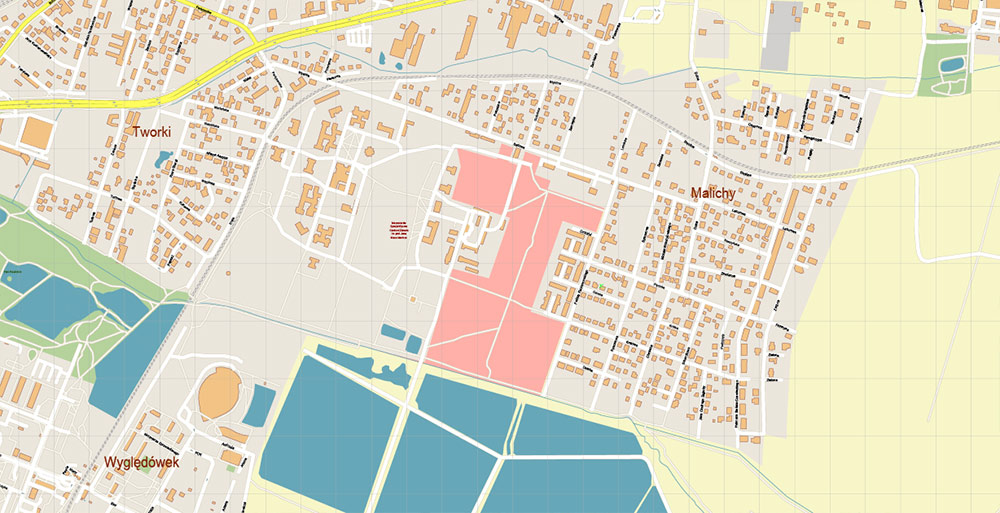
Warsaw \ Warszawa Poland Map Vector Accurate High Detailed City Plan editable Adobe Illustrator Street Map in layers
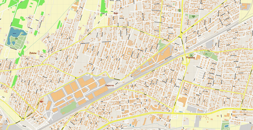
Warsaw \ Warszawa Poland Map Vector Accurate High Detailed City Plan editable Adobe Illustrator Street Map in layers
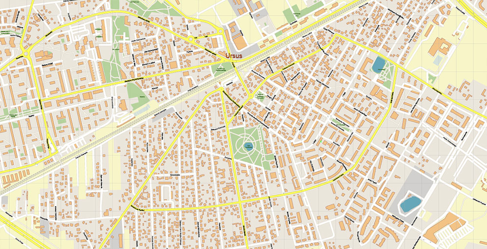
Warsaw \ Warszawa Poland Map Vector Accurate High Detailed City Plan editable Adobe Illustrator Street Map in layers
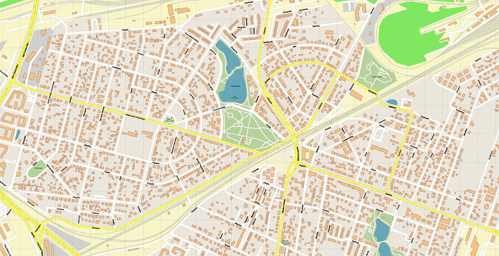
Warsaw \ Warszawa Poland Map Vector Accurate High Detailed City Plan editable Adobe Illustrator Street Map in layers
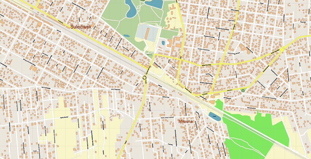
Warsaw \ Warszawa Poland Map Vector Accurate High Detailed City Plan editable Adobe Illustrator Street Map in layers
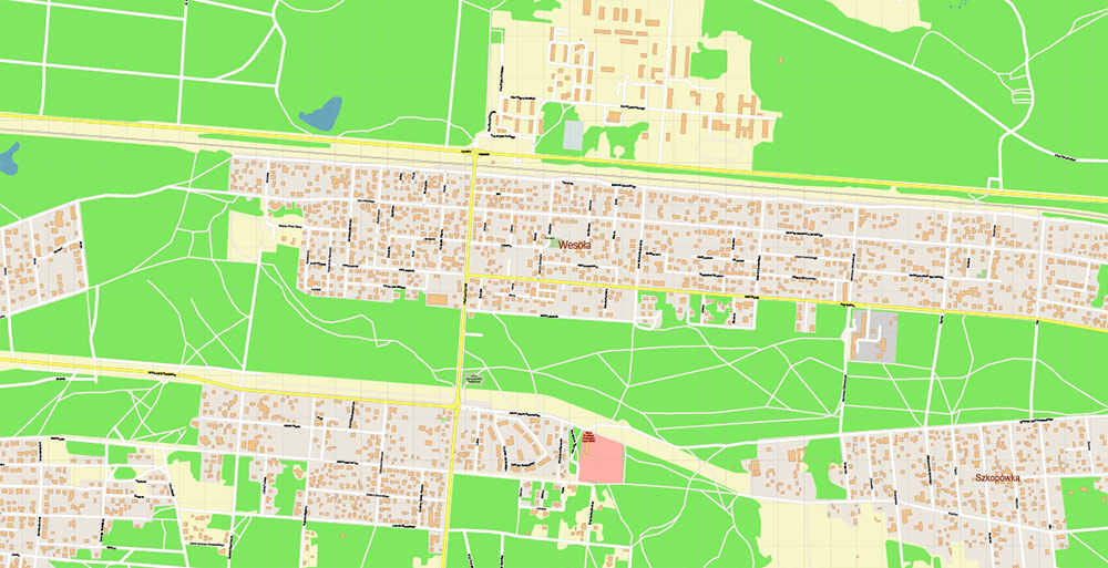
Warsaw \ Warszawa Poland Map Vector Accurate High Detailed City Plan editable Adobe Illustrator Street Map in layers
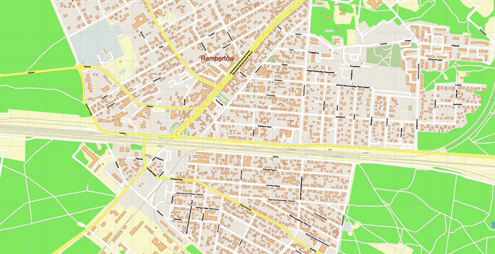
Warsaw \ Warszawa Poland Map Vector Accurate High Detailed City Plan editable Adobe Illustrator Street Map in layers
Warsaw \ Warszawa Poland Map Vector Accurate High Detailed City Plan editable Adobe Illustrator Street Map in layers
Warsaw \ Warszawa Poland Map Vector Accurate High Detailed City Plan editable Adobe Illustrator Street Map in layers
Warsaw \ Warszawa Poland Map Vector Accurate High Detailed City Plan editable Adobe Illustrator Street Map in layers
Warsaw \ Warszawa Poland Map Vector Accurate High Detailed City Plan editable Adobe Illustrator Street Map in layers
Warsaw \ Warszawa Poland Map Vector Accurate High Detailed City Plan editable Adobe Illustrator Street Map in layers
Warsaw \ Warszawa Poland Map Vector Accurate High Detailed City Plan editable Adobe Illustrator Street Map in layers
Warsaw \ Warszawa Poland Map Vector Accurate High Detailed City Plan editable Adobe Illustrator Street Map in layers
Warsaw \ Warszawa Poland Map Vector Accurate High Detailed City Plan editable Adobe Illustrator Street Map in layers
Warsaw \ Warszawa Poland Map Vector Accurate High Detailed City Plan editable Adobe Illustrator Street Map in layers
Warsaw \ Warszawa Poland Map Vector Accurate High Detailed City Plan editable Adobe Illustrator Street Map in layers
Warsaw \ Warszawa Poland Map Vector Accurate High Detailed City Plan editable Adobe Illustrator Street Map in layers
Warsaw \ Warszawa Poland Map Vector Accurate High Detailed City Plan editable Adobe Illustrator Street Map in layers
Warsaw \ Warszawa Poland Map Vector Accurate High Detailed City Plan editable Adobe Illustrator Street Map in layers
Warsaw \ Warszawa Poland Map Vector Accurate High Detailed City Plan editable Adobe Illustrator Street Map in layers
Warsaw \ Warszawa Poland Map Vector Accurate High Detailed City Plan editable Adobe Illustrator Street Map in layers

 Author: Kirill Shrayber, Ph.D. FRGS
 Street Map editable Adobe Illustrator in layers")

 Street Map editable Adobe Illustrator in layers")
