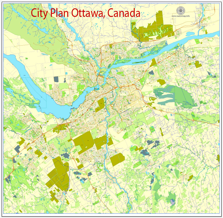
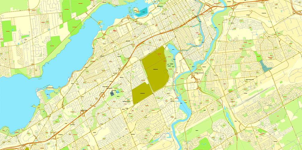
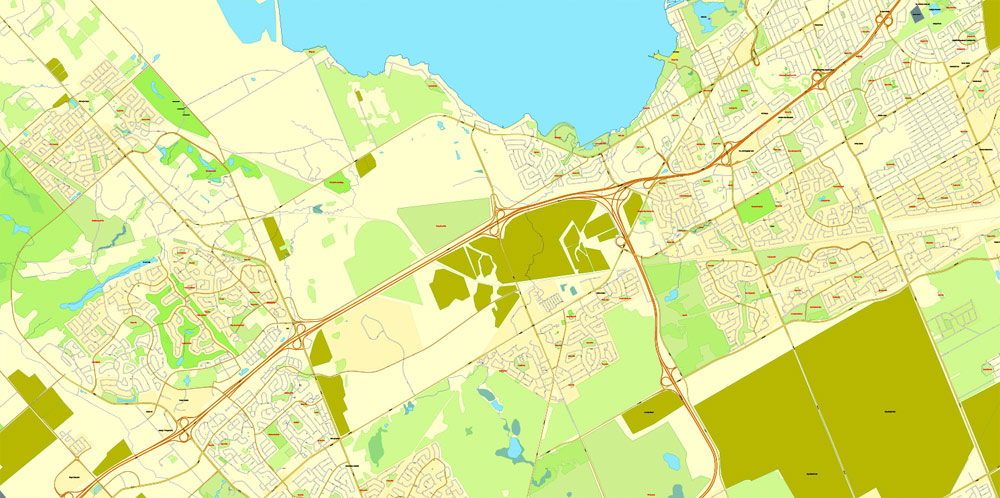
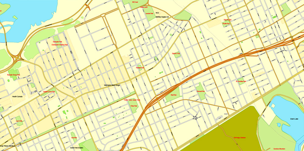
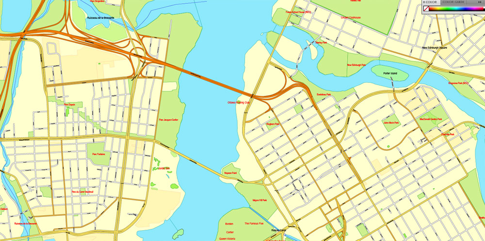
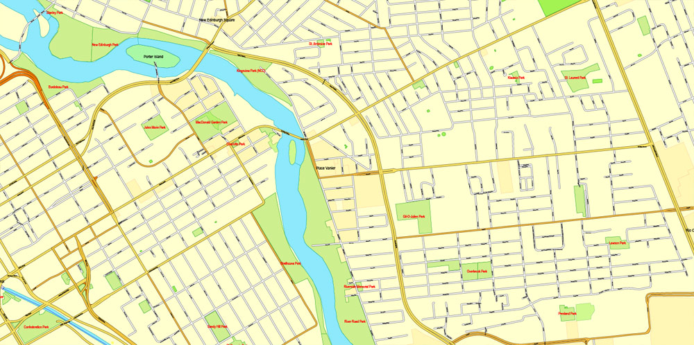
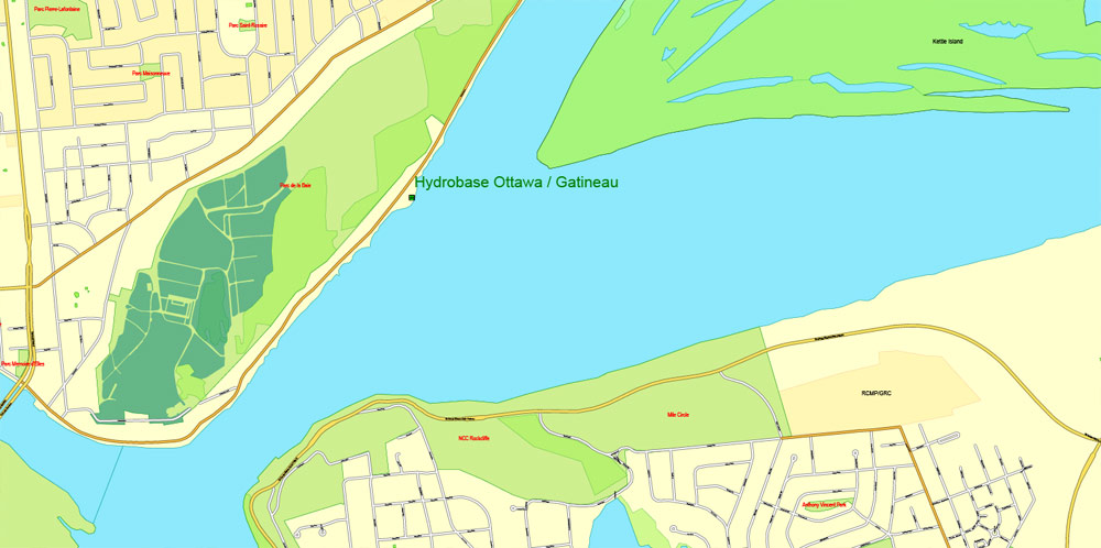
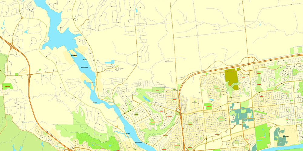
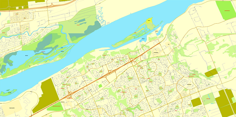
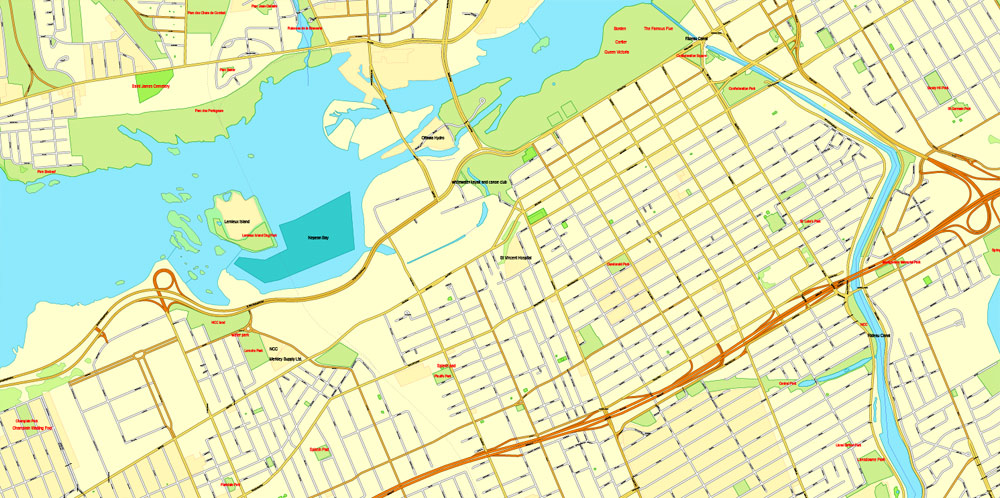
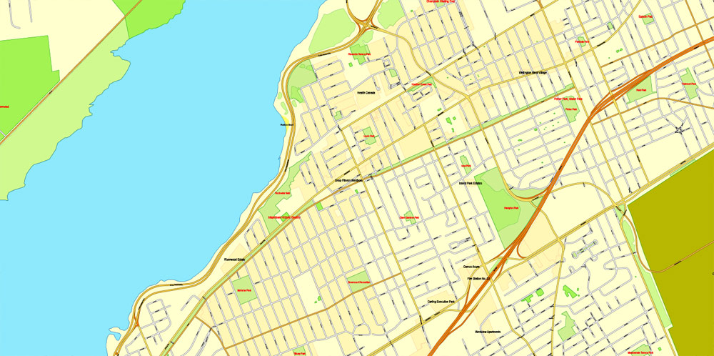
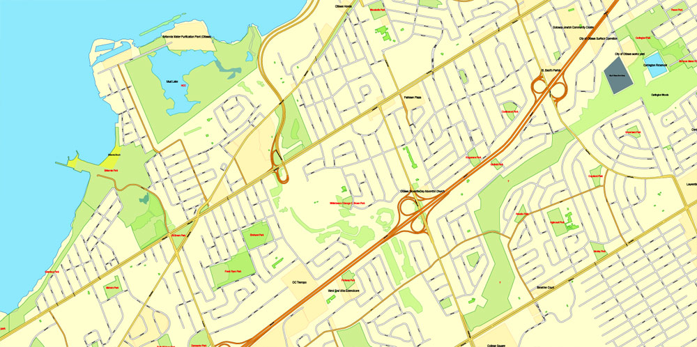
Ottawa, Canada, exact vector street City Plan map V3.09, full editable, Adobe PDF, full vector, scalable, editable text format street names, 23 mb ZIP
All streets, No buildings. Map for publishing, design, printing, publications, arts, projects, presentations, for architects, designers and builders, business, logistics. The most exact and detailed map of the city.
You can edit this file by Adobe Illustrator, Adobe Acrobat, Corel Draw.
DWG, DXF, CDR and other formats – on demand, same price, please, contact
Ottawa, Canada.
This vector map of Ottawa city is used as a basis for design, editing, and further printing.
This is the most detailed, exact map of Ottawa city for high-quality printing and polygraphy. You can always clarify the map development date by contacting us.
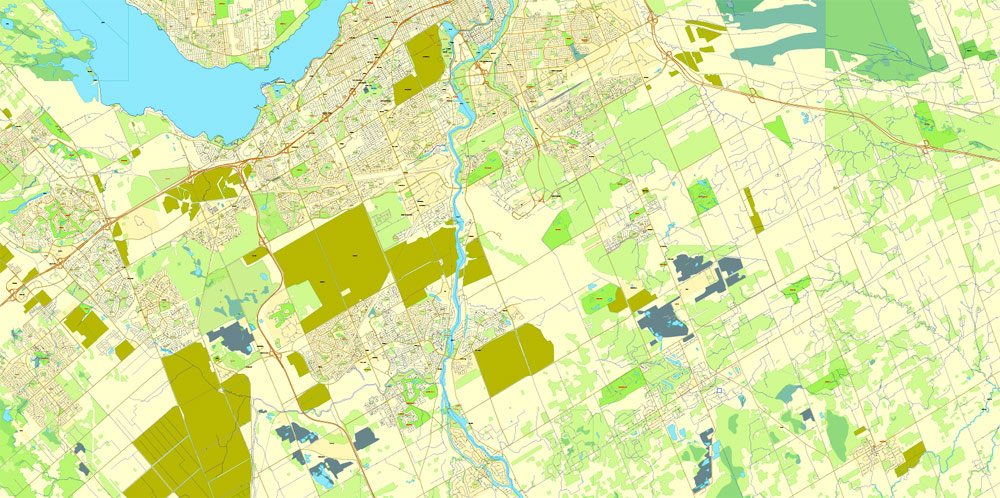
For your convenience, all objects on Ottawa vector city map are divided into layers. And the editing is very easy – colors, lines, etc.
You can easily add any objects needed (e.g. shops, salons, sale points, gas station or attraction) on any layer of Ottawa vector map.
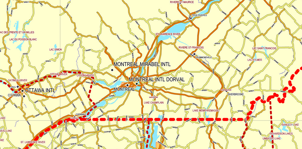
Ottawa is the capital city of Canada. It stands on the south bank of the Ottawa River in the eastern portion of southern Ontario. Ottawa borders Gatineau, Quebec; the two form the core of the Ottawa–Gatineau census metropolitan area (CMA) and the National Capital Region (NCR). As of 2016, Ottawa had a city population of 964,743 and a metropolitan population of 1,323,783 making it the fourth-largest city and the fifth-largest CMA in Canada.
One of the advantages of Ottawa city vector maps of our production is the relevance of cartographic data, we constantly update all our products.
This vector map of Ottawa city is used by:
designers, layout designers, printers, advertisers and architects. Our product – vector maps – is designed for further editing and printing in large formats – from @Wall format (a few meters) to A-0 and A-1, A-2, A-3.
The Ottawa city map in vector format is used for design, urban planning, presentations and media visualizations.
The advertising and presentation map of Ottawa city (usually the final designer marks the routes, and puts the client’s objects (shops, saloons, gas stations etc.)
The undoubted advantage is that people will NEVER throw out this advertising product – the map. In fact, as an advertising medium, a city map is the most “long-playing” of the well-known polygraphic advertising media, with the longest lifespan, and the maximum number of interactions with the customer.
For travelers, maps are sold at the airports and gas stations around the world. Often the source is our vector maps.
Take a look, who purchases our vector maps of Ottawa city in “Our Clients and Friends” page – these are large and small companies, from super-brands like Volvo and Starbucks, to small design studios and printing houses.
It’s very easy to work with vector maps of Ottawa city, even for a not very experienced designer who can turn on and off the map layers, add new objects, change the colors of fill and lines according to customer requirements.
The undoubted advantage of Ottawa city vector maps in printing is an excellent and detailed visualization, when customer can expand a large paper map and instantly define his location, find a landmark, an object or address on map, unlike using the popular electronic formats of Google and Yandex maps for example.
Printable vector maps of Ottawa city are much more convenient and efficient than any electronic maps on your smartphone, because ALL DETAILS are displayed in the entire space of Ottawa city map.
Useful tips on working with vector maps of cities and countries in Adobe Illustrator.
«V» – launches the Selection tool (cursor, black arrow), which makes active any vector line.
«А» – launches the Direct Selection tool (white cursor), allows you to select curve elements and drag them to the desired place.
«R» – activates the Rotate tool, which helps you rotating selected objects around the center point by 360 degrees.
«E» – gives you the opportunity to use the Eraser tool and erase unnecessary parts.
«X» – switches between Fill and Stroke in the Tools section. Try to get used to this hot key and
you will quickly understand that you can’t live and work without it.
Founded in 1826 as Bytown, and incorporated as Ottawa in 1855, the city has evolved into the political centre of Canada. Its original boundaries were expanded through numerous annexations and were ultimately replaced by a new city incorporation and amalgamation in 2001 which significantly increased its land area. The city name “Ottawa” was chosen in reference to the Ottawa River, the name of which is derived from the Algonquin Odawa, meaning “to trade”.
Guides are not limited to vertical and horizontal in Adobe Illustrator. You can also create a diagonal guide for example. Moreover, you can turn any contours into guides. Select the outline and go to View > Guides > Make Guides (Create Guides), or simply press Cmd/Ctrl + 5. You can also turn the guides back into an editable object. Go to menu, View > Guides > Unlock Guides (Release Guides), select the guide you want to edit and select View > Guides > Release Guides (Reset Guides), or just press Cmd/Ctrl + Option / Alt + 5).
You will probably want to change the color scheme used on our Ottawa vector city map.
To quickly and effectively play with colors.
Of course, you can do it manually, all objects in our Ottawa city vector map are divided according to types and layers, and you can easily change the color gamma of vector objects in groups and layers.
But there is more effective way of working with the whole VECTOR MAP of Ottawa city and all layers:
The overview dialog «Edit colors»/«Repaint Graphic Object» (this dialog box name can change depending on the context):
If you have selected a part or a layer of Ottawa city vector map and open the dialog box by clicking the icon in the Control panel, on the Samples palette or the Color Catalog, or if you choose Edit > Edit Colors> Repaint Graphic Object, then the «Repaint Graphic Object» dialog box appears, and you get access to «Assign» and «Edit» tabs.
If a picture or a map fragment is not selected, and you open the dialog box by clicking the icon in the Control panel, on the Samples palette or in the Color Catalog, the «Edit Colors» dialog box appears and you can only access the «Edit» tab.
Regardless of the name at the top of the dialog box, the right-hand side always displays the color group of the current document, as well as two default color groups: Print Color and Grayscale. These color groups can be selected and used any time.
Create and edit color groups of Ottawa city vector map, and also assign colors using the «Edit Colors»/ а «Repaint Graphic Object» dialog box.
A. Creating and editing of a color group on the «Edit» tab
B. Assigning colors on the «Assign» tab
C. Select a group of colors from the «Color groups» list
The option «Repaint a graphic object» in the lower part of the dialog box allows you to preview the colors on a selected layer of Vector map, or a group of elements, and specify whether its colors will be redefined when the dialog box is closed.
Ottawa has the most educated population among Canadian cities and is home to a number of post-secondary, research, and cultural institutions, including the National Arts Centre, the National Gallery, and numerous national museums. Ottawa has the highest standard of living in the nation and low unemployment.
The main areas of the dialog box are:
«Edit»
The «Edit» tab is designed to create a new or edit the existing color groups.
The harmony rules Menu and the Color Wheel are used to conduct experiments with color harmonies. The color wheel shows how colors are related in color harmony, and the color bars allow you to view and manipulate an individual color values. In addition, you can adjust the brightness, add and remove colors, save color groups and view colors on the selected Vector Map of Ottawa city or a separated layers.
«Assign»
The «Assign» tab is used to view and control on how the original colors are replaced with colors from the color group like your corporate colors in the Vector Map of Ottawa city.
The assign color ability is provided only if the entire map, layer or fragment is selected in the document. You can specify which of new colors replace the current colors, whether the spot colors should be preserved and how colors are replaced (for example, you can replace colors completely or changing the color tone while maintaining the brightness). The «Assign» tab allows you to redefine colors in the Vector Map of Ottawa city, or in separate layers and fragments using the current color group or reducing the number of colors in the current Vector Map.
Color groups
Is a list of all saved color groups for current document (the same groups appear in the «Samples» palette). You can edit and delete the existing color groups, as well as creating a new ones using the list of “Color Groups” in the dialog box. All changes appear in the «Samples» palette.
The highlighted color group shows, which color group is currently edited.
Any color group can be selected and edited, or used to redefine the colors in the selected vector map of Ottawa city, its fragments or elements.
Saving a color group adds this group to the specified list.
Opening the «Edit Colors»/«Repaint Graphic Object» dialog box.
Open the «Edit Colors»/«Repaint Graphic Object» dialog box using one of the following methods:
«Edit»> «Edit Colors»> «Repaint Graphic object» or «Repaint With Style».
Use these commands if you need to edit the colors in the selected vector map of Ottawa city.
«Repaint Graphic object» button on the «Control» panel.
Use this button if you need to adjust colors of Ottawa city vector map using the а «Repaint graphic object» dialog box.
The specified button is available if the selected vector map or its fragment contains two or more colors.
Note. This color editing method is convenient for global color adjustment in a vector map, if global colors were not used when creating a City Map of Ottawa.
The «Edit colors» button or «Edit or apply colors» on the «Color Catalog» palette
Click this button if you need to edit colors on the «Color Catalog» palette or edit and then apply them to the selected Vector Map of Ottawa city or its fragment.
The «Edit color group» button or «Edit or apply color group» on the «Samples» palette.
Click this button if you need to edit the colors in the specific color group or edit and apply them to the selected Vector Map of Ottawa city or a group of its elements, for example, the whole layer “Streets and lines”. You can also double-click the color group in the Samples panel to open the dialog box.
If the map file is too large and your computer freezes or even can’t open it quickly:
1. Try to reduce the color resolution of the video card (display) to 256 colors while working with a large map.
2. Using Windows Task Manager, select all the application you don’t need, while working with map, just turn them off.
3. Launch Adobe Illustrator. (DO NOT OPEN the vector map file)
4. Start the Windows Task Manager using administrator rights > Find the “Illustrator” process > set the «real time» priority,
5. Open the file. When you see the LEGACY FONT popup window – click “OK” (do not update). You can restore the TEXT later.
6. Can also be useful: When file is opened – Edit > Settings > Basic Settings > disable smoothing. /// It looks scary, but works quickly)))
We recommend saving the file in Adobe Illustrator 10 version. It’s much more stable when working with VERY BIG size files.
Geography
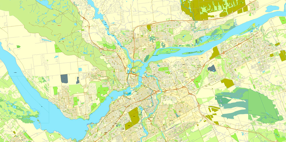
Downtown Ottawa is situated on the south bank of the Ottawa River. Gatineau may be seen in the background, across the river.
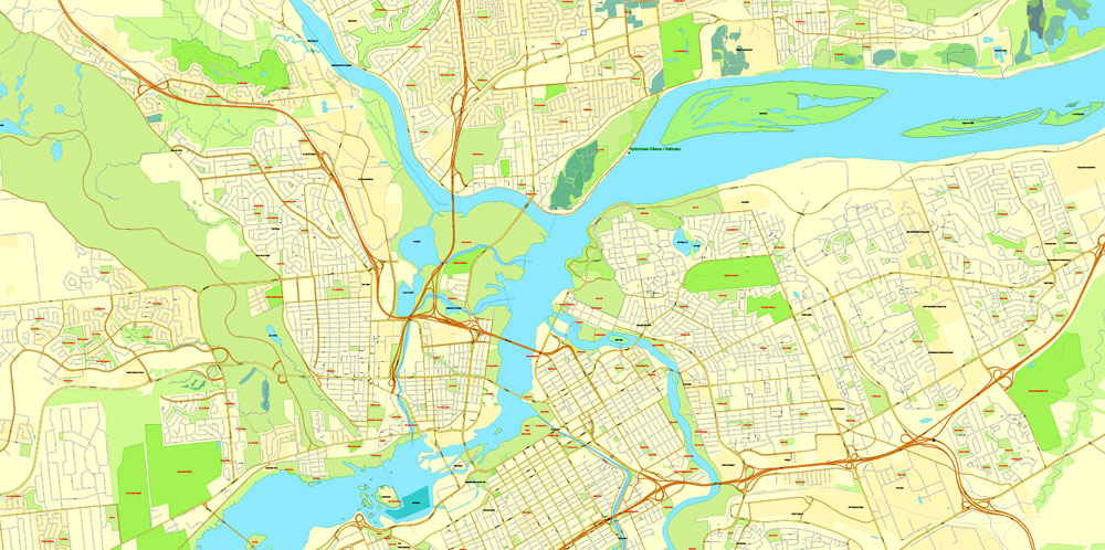
Ottawa is on the south bank of the Ottawa River and contains the mouths of the Rideau River and Rideau Canal. The older part of the city (including what remains of Bytown) is known as Lower Town, and occupies an area between the canal and the rivers. Across the canal to the west lies Centretown and Downtown Ottawa, which is the city’s financial and commercial hub and home to the Parliament of Canada and numerous federal government department headquarters, notably the Privy Council Office. On 29 June 2007, the Rideau Canal, which stretches 202 km (126 mi) to Kingston, Fort Henry and four Martello towers in the Kingston area, was recognized as a UNESCO World Heritage Site.

Located within the major, yet mostly dormant Western Quebec Seismic Zone, Ottawa is occasionally struck by earthquakes. Examples include the 2000 Kipawa earthquake, a magnitude-4.5 earthquake on 24 February 2006, the 2010 Central Canada earthquake, and a magnitude-5.2 earthquake on 17 May 2013.
Ottawa sits at the confluence of three major rivers: the Ottawa River, the Gatineau River and the Rideau River. The Ottawa and Gatineau rivers were historically important in the logging and lumber industries and the Rideau as part of the Rideau Canal system for military, commercial and, subsequently, recreational purposes. The Rideau Canal (Rideau Waterway) first opened in 1832 and is 202 km long. It connects the Saint Lawrence River on Lake Ontario at Kingston to the Ottawa River near Parliament Hill. It was able to bypass the unnavigable sections of the Cataraqui and Rideau rivers and various small lakes along the waterway due to flooding techniques and the construction of 47 water transport locks.The Rideau River got its name from early French explorers who thought that the waterfalls located at the point where the Rideau River empties into the Ottawa River resembled a “curtain”. Hence they began naming the falls and river “rideau” which is the French equivalent of the English word for curtain. During part of the winter season the Ottawa section of the canal forms the world’s largest skating rink, thereby providing both a recreational venue and a 7.8 kilometres (4.8 mi) transportation path to downtown for ice skaters (from Carleton University and Dow’s Lake to the Rideau Centre and National Arts Centre).
Across the Ottawa River, which forms the border between Ontario and Quebec, lies the city of Gatineau, itself the result of amalgamation of the former Quebec cities of Hull and Aylmer together with Gatineau. Although formally and administratively separate cities in two separate provinces, Ottawa and Gatineau (along with a number of nearby municipalities) collectively constitute the National Capital Region, which is considered a single metropolitan area. One federal crown corporation, the National Capital Commission, or NCC, has significant land holdings in both cities, including sites of historical and touristic importance. The NCC, through its responsibility for planning and development of these lands, is an important contributor to both cities. Around the main urban area is an extensive greenbelt, administered by the NCC for conservation and leisure, and comprising mostly forest, farmland and marshland.
This is the outline of the geography of the city of Ottawa, the capital of Canada. Ottawa’s current borders were formed in 2001, when the former city of Ottawa amalgamated with the ten other municipalities within the former Regional Municipality of Ottawa-Carleton. Ottawa is now a single-tiered Census division, home to 870,250 people.
The city centre is located at the confluence of the Ottawa and Rideau Rivers. The Ottawa River forms the entire northern boundary of the city which it shares with the province of Quebec’s municipalities of Pontiac and Gatineau. The northern boundary begins in the west at Arnprior and continues east to Rockland. The boundary then turns south in a straight line, separating the former Township of Cumberland (now in Ottawa) and the City of Clarence-Rockland. It then turns west in another straight line separating the former Township of Cumberland with the municipalities of The Nation and Russell.
It then turns south separating Russell from the former Township of Osgoode (now in Ottawa). That boundary runs south in a straight line, then turns west separating Osgoode from the municipality of North Dundas. That boundary runs west in a straight line before turning north separating Osgoode from the municipality of North Grenville. This is another straight line, running north until the Rideau River near Kemptville. The boundary follows the River upstream until almost reaching Merrickville. The boundary then runs in a northwest direction in a straight line with a number of jogs. It separates the municipalities of Montague, Beckwith and Mississippi Mills from the former townships of Marlborough, Goulbourn, Huntley and Fitzroy.
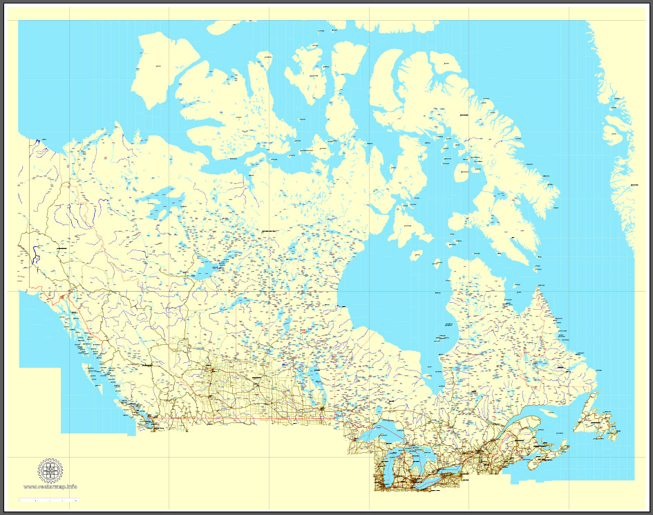
Download Free vector Map Canada, mainroads, cities, borders, province borders, Adobe Illustrator Text format street names, full editable, Layers: grownd, nombres, borders, symbols, halo
vector_map_canada_mainroads_mercator_projection_ai-ai
Download Free PDF Map Canada, mainroads, cities, borders, province borders, Adobe PDF Text format street names, full editable, Layers: grownd, nombres, borders, symbols, halo
vector_map_canada_mainroads_mercator_projection_pdf-pdf

Free download Vector Map US Interstate roads, Adobe PDF, V.2 Free_Map_US_Interstates_Roads_2.pdf
Free download Vector Map US Interstate roads, Adobe Illustrator, V.2 Free_Map_US_Interstates_Roads_2.ai

Free Download Vector Map US County and State Adobe Illustrator
Free_Vector_Map_US_States_County_Map.ai
Free Download Vector Map US County and State Adobe PDF
Free_Vector_Map_US_States_County_Map.pdf

Free Vector Map US Census Data Top US Ancestries by County Adobe Illustrator
Free_Vector_Map_US_Census-Data-Top-US-Ancestries-by-County.ai
Free Vector Map US Census Data Top US Ancestries by County Adobe PDF
Free_Vector_Map_US_Census-Data-Top-US-Ancestries-by-County.pdf

 Author: Kirill Shrayber, Ph.D. FRGS
 Street Map editable Adobe Illustrator in layers")


