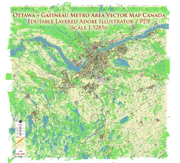
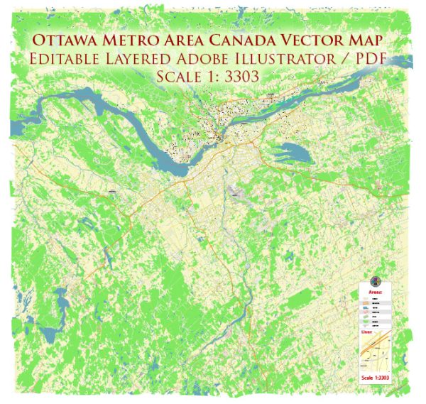
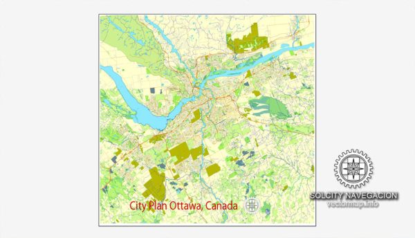
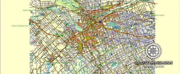
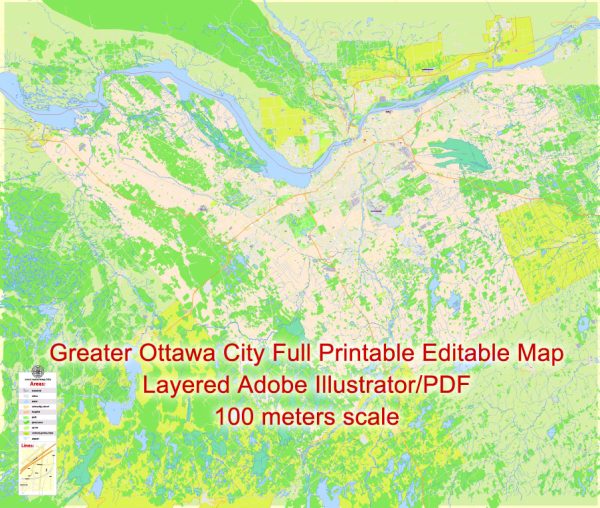
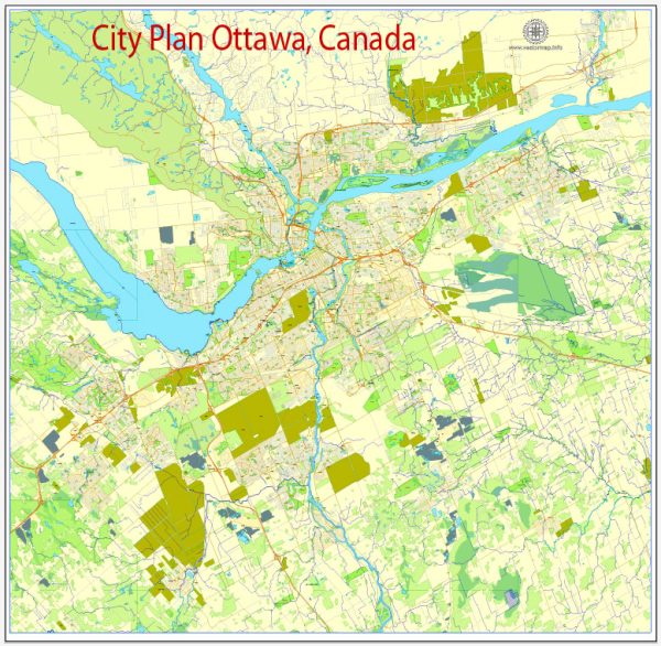
A general overview of the districts, communities, and street system in Ottawa, Canada.
Vectormap.Net provide you with the most accurate and up-to-date vector maps in Adobe Illustrator, PDF and other formats, designed for editing and printing. Please read the vector map descriptions carefully.
Districts:
- Downtown Ottawa: This area is the central business district and includes popular landmarks such as Parliament Hill, the National Gallery of Canada, and the Rideau Canal. It’s a mix of government buildings, commercial spaces, and residential areas.
- ByWard Market: Located just east of downtown, ByWard Market is a vibrant and historic area known for its outdoor market, specialty shops, restaurants, and nightlife.
- Glebe: South of downtown, the Glebe is a residential neighborhood with a mix of historic and modern homes. It’s known for its shopping district along Bank Street, parks, and the TD Place Stadium.
- Centretown: This district is situated just south of downtown and is a mix of residential and commercial spaces. It is home to many government buildings, businesses, and high-rise condominiums.
- Kanata: Located to the west of downtown, Kanata is a suburban area known for its technology park, housing several high-tech companies. It’s also home to the Canadian Tire Centre, where the Ottawa Senators play.
- Orleans: Situated in the east, Orleans is a suburban area with a mix of residential and commercial spaces. It has a growing population and offers various amenities.
- Nepean: West of downtown, Nepean is a diverse district with a mix of residential neighborhoods, shopping centers, and parks.
Communities:
Ottawa has numerous communities, each with its own unique character and amenities. Some notable ones include Rockcliffe Park, Alta Vista, Barrhaven, and Riverside South.
Street System:
Ottawa’s street system is generally well-organized, with a grid pattern in many areas. Major streets include Wellington Street, Elgin Street, Bank Street, and Rideau Street in the downtown core. The city also has a series of parkways and bridges, including the Sir John A. Macdonald Parkway and the Alexandra Bridge.
The city is divided into quadrants by the Rideau Canal and the Ottawa River. The streets are numbered and named based on their location within these quadrants.

 Author: Kirill Shrayber, Ph.D.