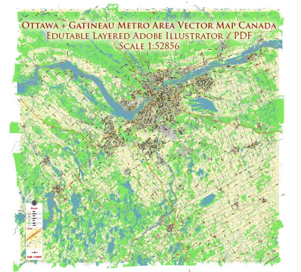
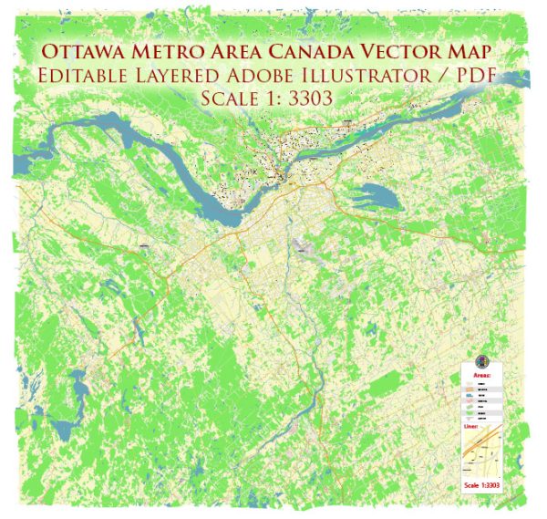
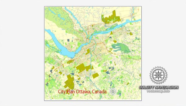
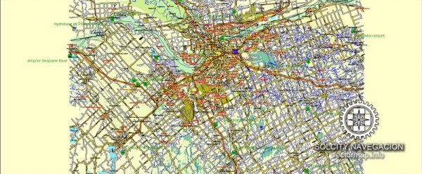
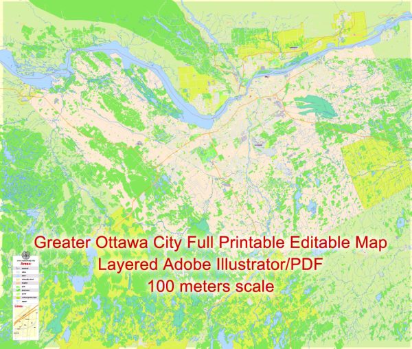
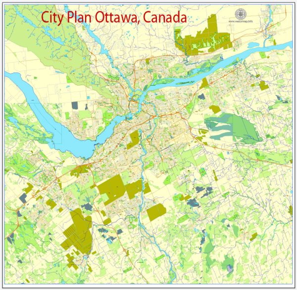
A general overview of Ottawa’s principal waterways, bridges, and main streets. Vectormap.Net provide you with the most accurate and up-to-date vector maps in Adobe Illustrator, PDF and other formats, designed for editing and printing. Please read the vector map descriptions carefully.
Waterways:
- Ottawa River: The Ottawa River flows through the heart of the city, dividing it into the provinces of Ontario and Quebec. It is a significant watercourse and a popular spot for recreational activities.
- Rideau Canal: Designated as a UNESCO World Heritage Site, the Rideau Canal is both a historic site and a scenic waterway. In the winter, parts of the canal freeze to create the world’s longest skating rink.
Bridges:
- Alexandra Bridge: Connecting Ottawa, Ontario, and Gatineau, Quebec, the Alexandra Bridge spans the Ottawa River and offers stunning views of the Parliament Hill.
- Portage Bridge: This bridge connects Wellington Street in Ottawa to Rue Laurier in Gatineau, providing a key link between the two provinces.
- Chaudière Bridge: Connecting Booth Street in Ottawa to Eddy Street in Gatineau, the Chaudière Bridge spans the Chaudière Falls and provides a vital crossing.
Main Streets:
- Wellington Street: Running through the heart of downtown Ottawa, Wellington Street is home to many important government buildings, including Parliament Hill.
- Bank Street: A major north-south thoroughfare, Bank Street is known for its shops, restaurants, and cultural attractions.
- Elgin Street: Located in downtown Ottawa, Elgin Street is lined with shops, eateries, and is known for its vibrant nightlife.
- Rideau Street: Parallel to Rideau Canal, this street is a bustling commercial area with shops, malls, and entertainment options.
It’s recommended to check for the latest information, as urban landscapes can change, and new developments may have occurred since my last update. Additionally, municipal websites and maps can provide real-time information about the city’s infrastructure.

 Author: Kirill Shrayber, Ph.D.