Extended Description of the Vector Map
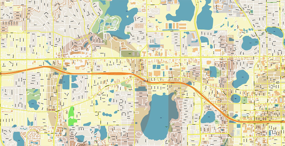
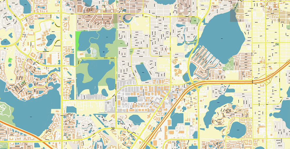
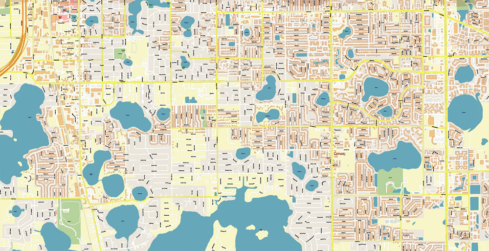
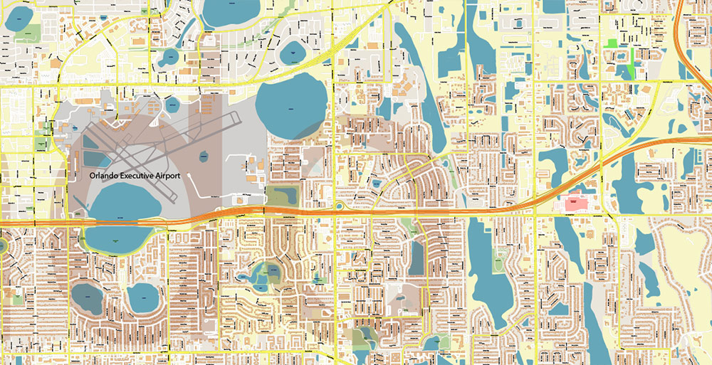
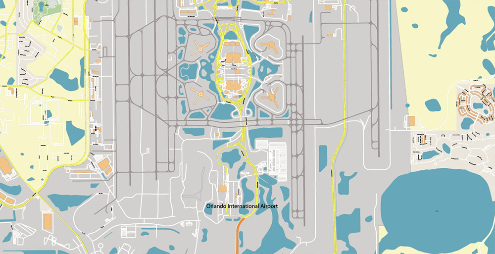
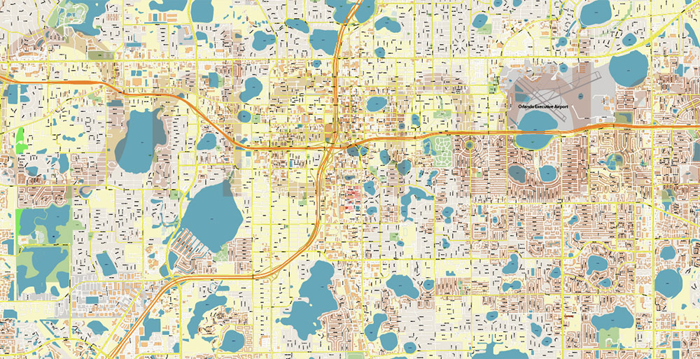
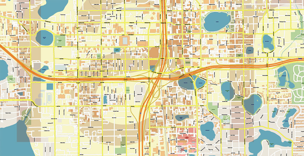
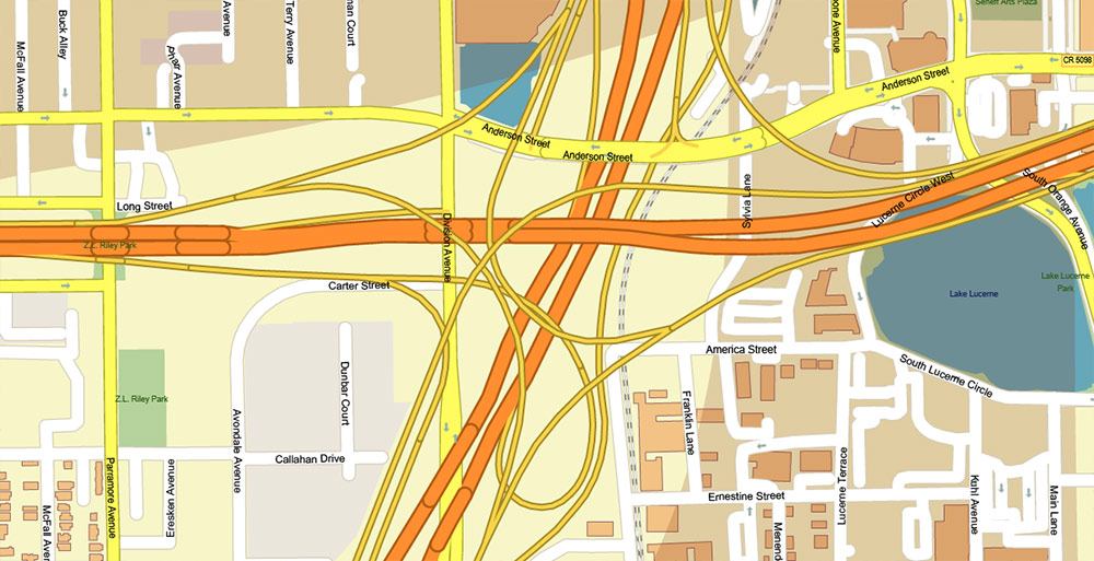
Printable Vector Map of Orlando Florida Metro Area, detailed City Plan scale 1:4128 full editable Adobe Illustrator Street Map in layers, scalable, text format all names, 39 MB ZIP
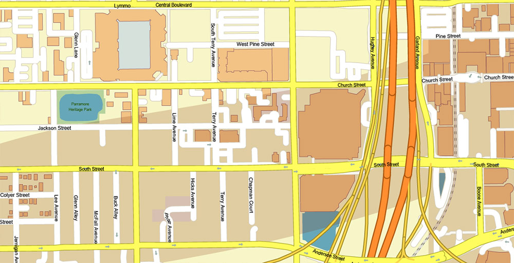
All street names, Main Objects, Buildings. Map for design, printing, arts, projects, presentations, for architects, designers, and builders, business, logistics.
If you need: We can add some objects to this map (add-on layers), for example – zip-codes areas.
Free for our customers.
Need AutoCAD DWG / DXF or any other format? Please, contact us!
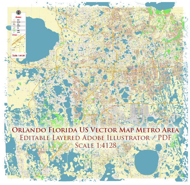
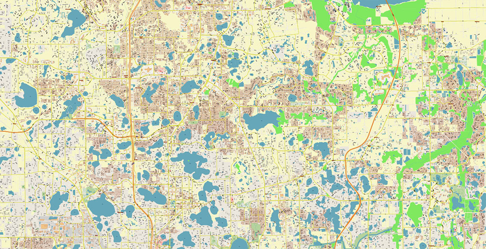
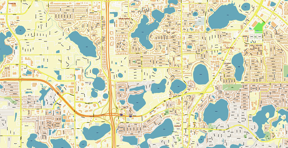
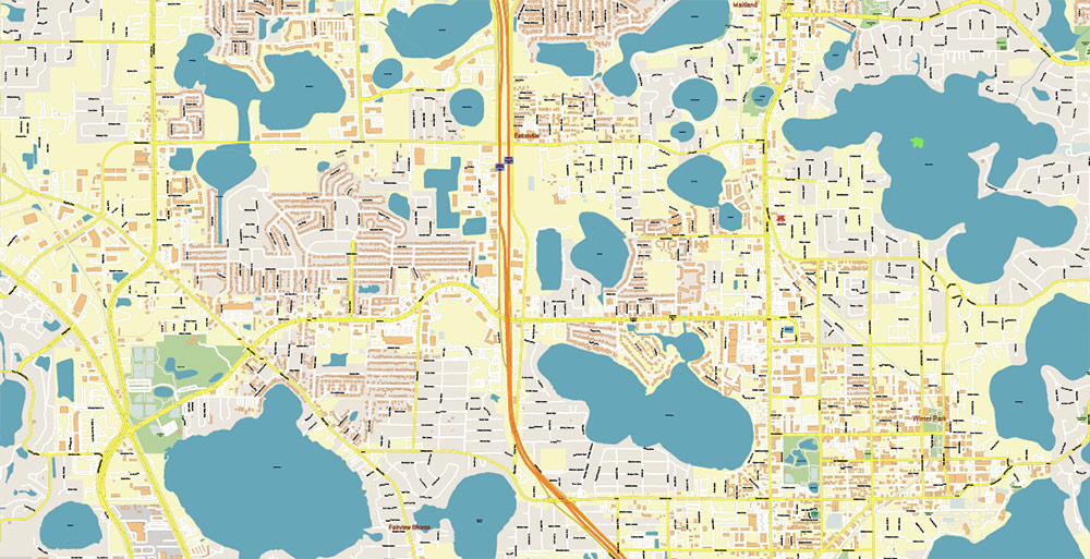
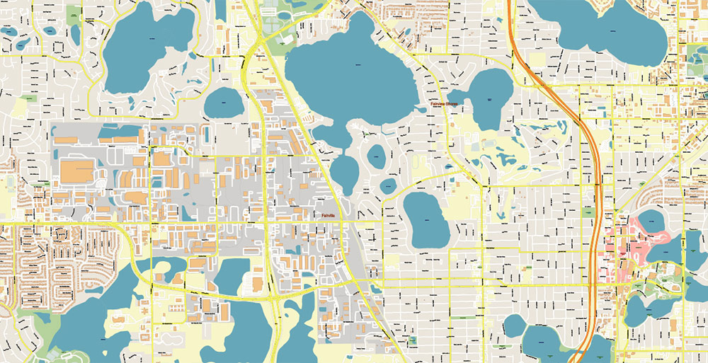
Orlando Florida US Map Vector Metro Area Accurate High Detailed City Plan editable Adobe Illustrator Street Map in layers
Layers list:
- Legend
- Grids
- Labels of roads
- Names of places (city, hamlet, etc.)
- Names of objects (hospitals, parks, water)
- Names of main streets
- Names of civil streets
- Arrows of street drive direction
- Main Streets, roads
- Civil streets
- Railroads
- Buildings
- Airports and heliports
- Water objects (rivers, lakes, ponds)
- Waterways
- Color fills (parks, hospital areas, land use, etc.)
- Background
Orlando, city, seat (1856) of Orange county, central Florida, U.S. It is situated in a region dotted by lakes, about 60 miles (95 km) northwest of Melbourne and 85 miles (135 km) northeast of Tampa. The city is the focus for one of the state’s most populous metropolitan areas.
The region was originally inhabited by Timucua and later Seminole peoples. Settlement began about 1843 around Fort Gatlin, a U.S. Army post. First called Jernigan for Aaron Jernigan, an early settler, the town was renamed in 1857 to honour Orlando Reeves, an army sentry killed during the Seminole Wars.
Prior to the American Civil War, the area was a cotton and cattle centre. After the war, citrus became a leading industry. The South Florida Railroad arrived in 1880 and was extended to Tampa in 1883. The development after 1950 of the Cape Canaveral aerospace complex, 50 miles (80 km) east, spurred population and economic growth, which were further boosted when Walt Disney World opened in 1971 about 20 miles (30 km) southwest. The construction of other attractions followed, and the city acquired a National Basketball Association franchise (the Orlando Magic) in 1987.
The Disney complex alone covers 47 square miles (122 square km). In addition to its several large resorts, Walt Disney World has a variety of attractions, including the Magic Kingdom, Epcot, Disney-MGM Studios, and Animal Kingdom. Universal Orlando Resort includes the Universal Studios and Islands of Adventure theme parks. The latter features the Wizarding World of Harry Potter, an attraction based on the popular book series by J.K. Rowling. Also in the Greater Orlando area are Sea World of Florida (a marine-animal park) and Wet ’n Wild (a large water park). Loch Haven Park contains art, science, and history museums. Gatorland, just to the south, is home to alligators and crocodiles.
Tourism, conventions, and trade shows are the basis of the city’s economy. Manufacturing (especially of aerospace and missile systems), high-technology industries, and the citrus industry are also important. Educational facilities include the University of Central Florida (1963) and Valencia Community College (1967). Inc. 1875.
Population:
Orlando-Kissimmee-Sanford Metro Area, 2,134,411.
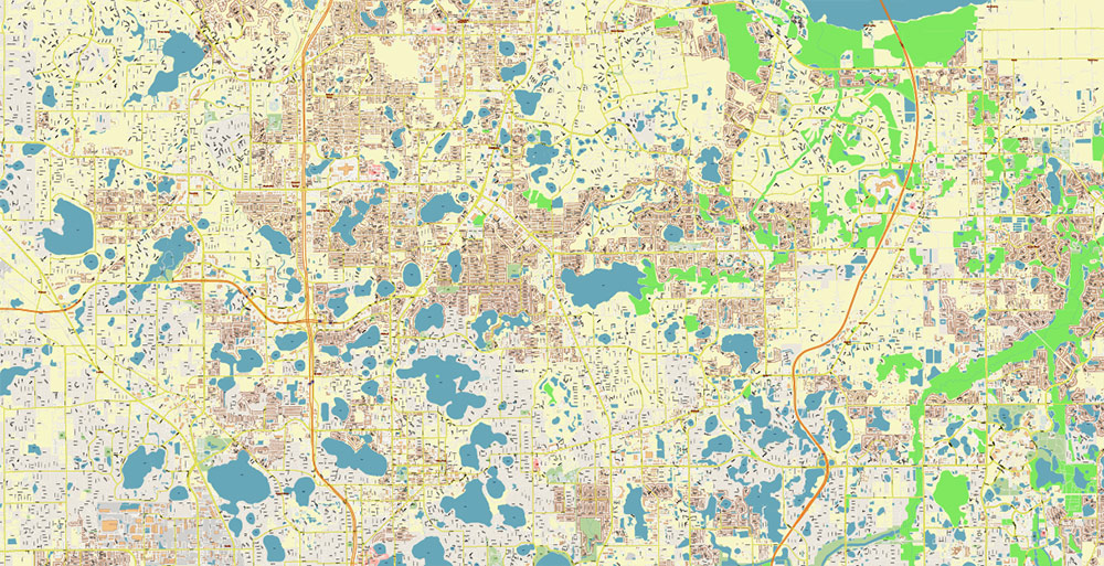
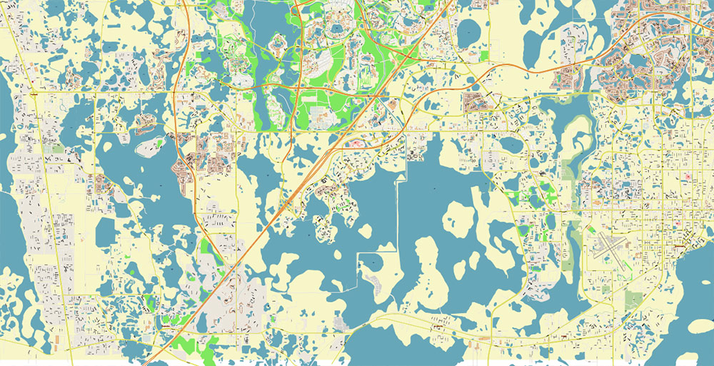
Orlando Florida US Map Vector Metro Area Accurate High Detailed City Plan editable Adobe Illustrator Street Map in layers
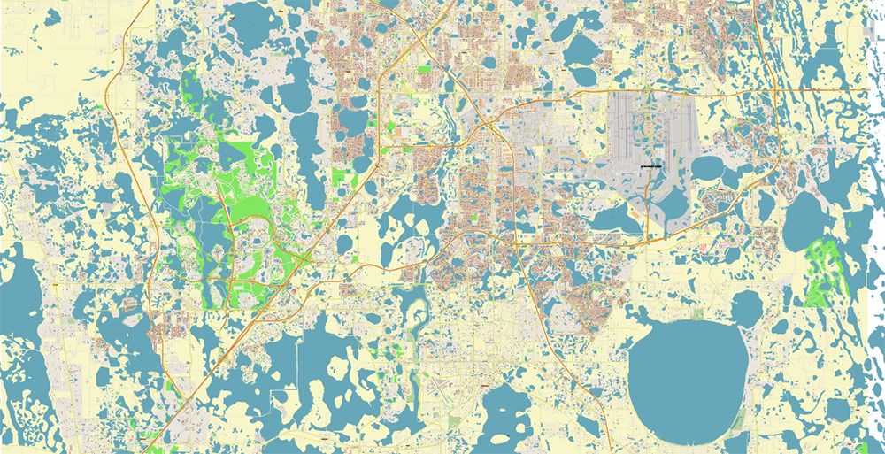
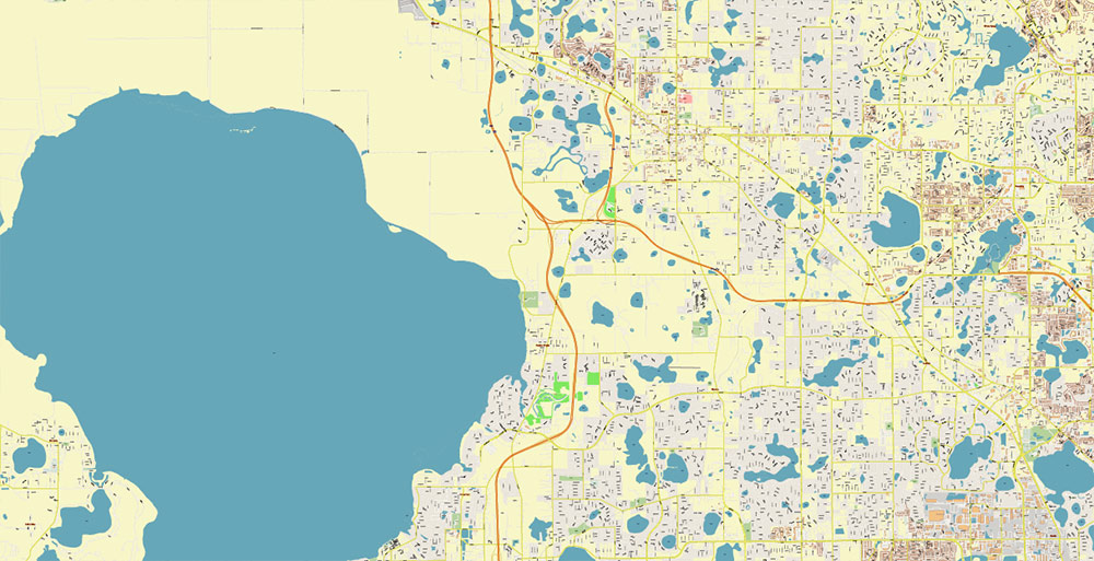
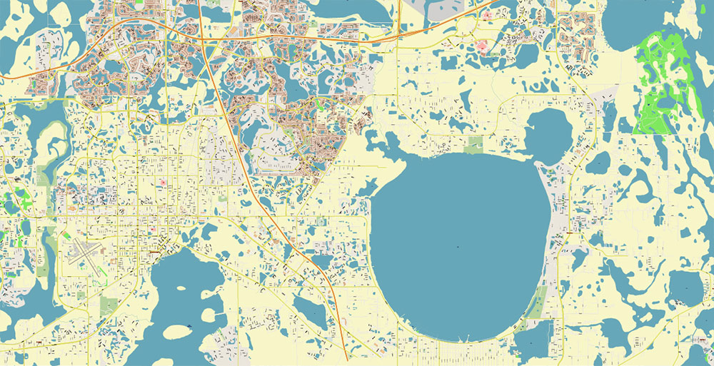
Orlando Florida US Map Vector Metro Area Accurate High Detailed City Plan editable Adobe Illustrator Street Map in layers
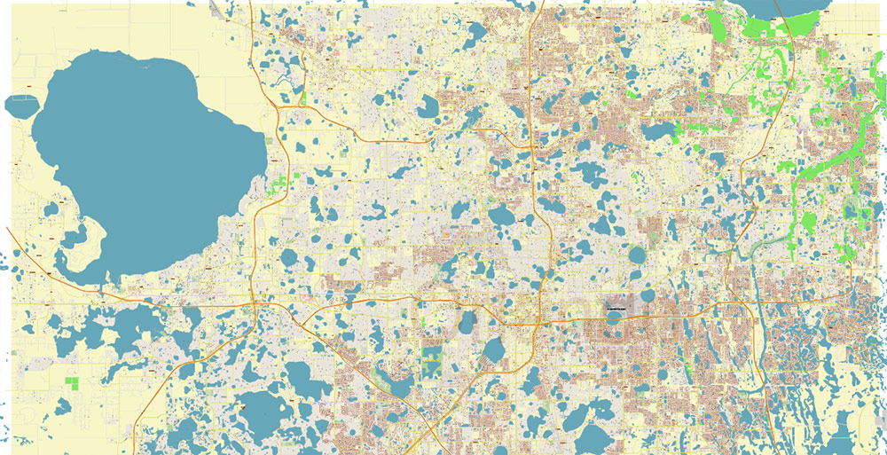
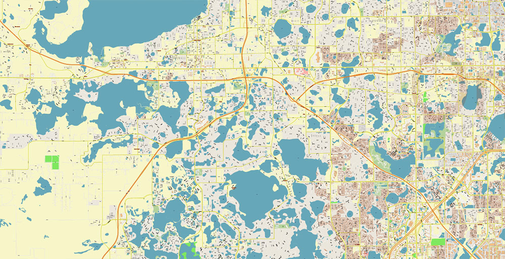
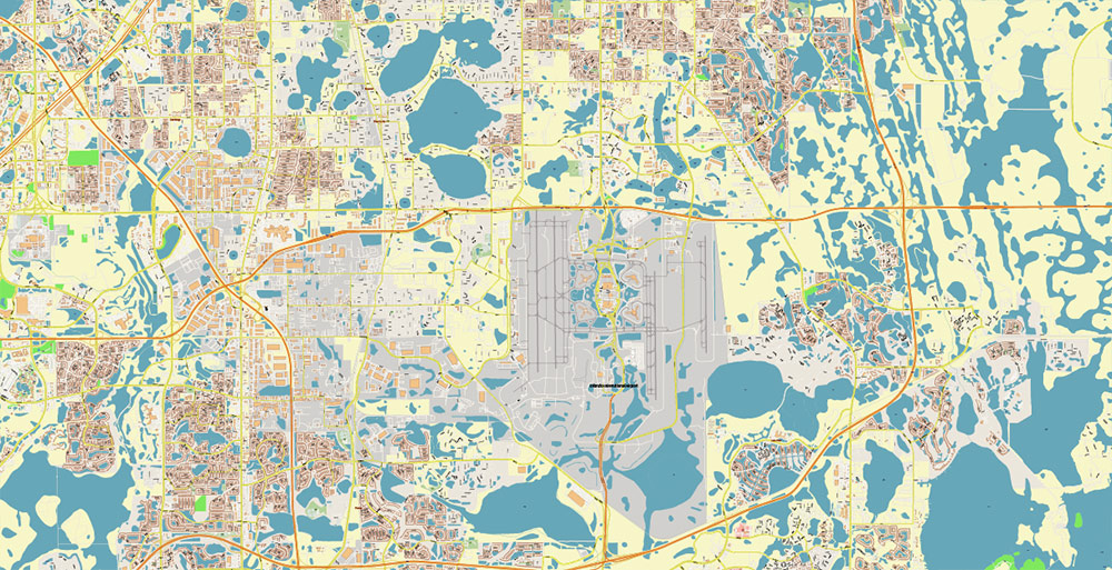
Orlando Florida US Map Vector Metro Area Accurate High Detailed City Plan editable Adobe Illustrator Street Map in layers
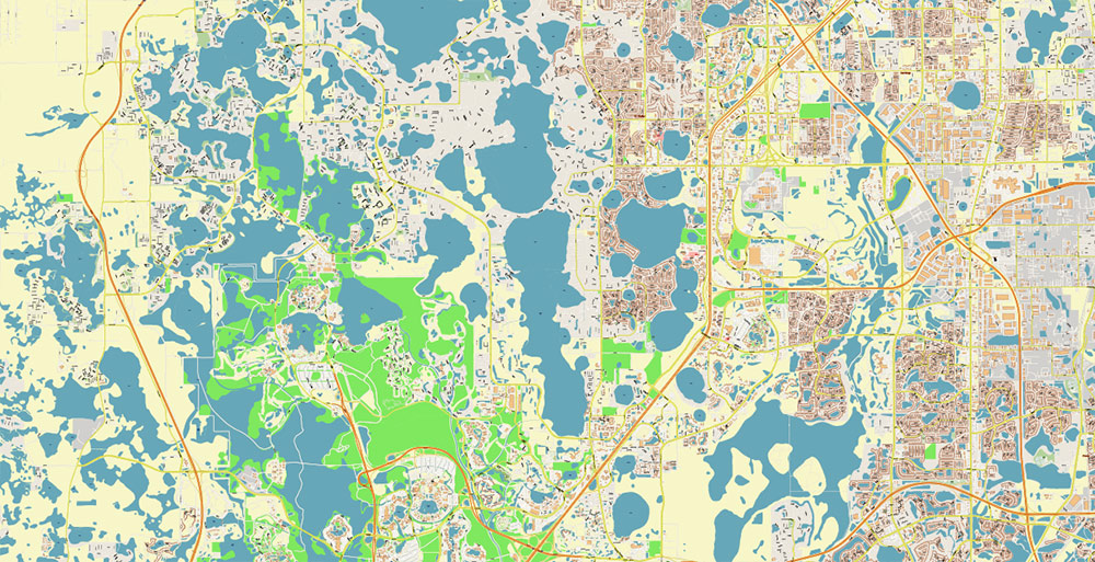
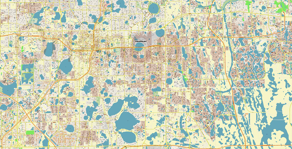
Orlando Florida US Map Vector Metro Area Accurate High Detailed City Plan editable Adobe Illustrator Street Map in layers
Orlando Florida US Map Vector Metro Area Accurate High Detailed City Plan editable Adobe Illustrator Street Map in layers
Orlando Florida US Map Vector Metro Area Accurate High Detailed City Plan editable Adobe Illustrator Street Map in layers
Orlando Florida US Map Vector Metro Area Accurate High Detailed City Plan editable Adobe Illustrator Street Map in layers
Orlando Florida US Map Vector Metro Area Accurate High Detailed City Plan editable Adobe Illustrator Street Map in layers
Orlando Florida US Map Vector Metro Area Accurate High Detailed City Plan editable Adobe Illustrator Street Map in layers
Orlando Florida US Map Vector Metro Area Accurate High Detailed City Plan editable Adobe Illustrator Street Map in layers
Orlando Florida US Map Vector Metro Area Accurate High Detailed City Plan editable Adobe Illustrator Street Map in layers
Orlando Florida US Map Vector Metro Area Accurate High Detailed City Plan editable Adobe Illustrator Street Map in layers
Orlando Florida US Map Vector Metro Area Accurate High Detailed City Plan editable Adobe Illustrator Street Map in layers
Orlando Florida US Map Vector Metro Area Accurate High Detailed City Plan editable Adobe Illustrator Street Map in layers
Orlando Florida US Map Vector Metro Area Accurate High Detailed City Plan editable Adobe Illustrator Street Map in layers
Orlando Florida US Map Vector Metro Area Accurate High Detailed City Plan editable Adobe Illustrator Street Map in layers
Orlando Florida US Map Vector Metro Area Accurate High Detailed City Plan editable Adobe Illustrator Street Map in layers
Orlando Florida US Map Vector Metro Area Accurate High Detailed City Plan editable Adobe Illustrator Street Map in layers
Orlando Florida US Map Vector Metro Area Accurate High Detailed City Plan editable Adobe Illustrator Street Map in layers
Orlando Florida US Map Vector Metro Area Accurate High Detailed City Plan editable Adobe Illustrator Street Map in layers
Orlando Florida US Map Vector Metro Area Accurate High Detailed City Plan editable Adobe Illustrator Street Map in layers
Orlando Florida US Map Vector Metro Area Accurate High Detailed City Plan editable Adobe Illustrator Street Map in layers
Orlando Florida US Map Vector Metro Area Accurate High Detailed City Plan editable Adobe Illustrator Street Map in layers
Orlando Florida US Map Vector Metro Area Accurate High Detailed City Plan editable Adobe Illustrator Street Map in layers

 Author: Kirill Shrayber, Ph.D. FRGS


