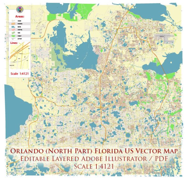
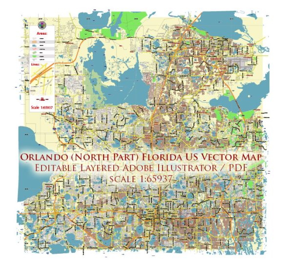
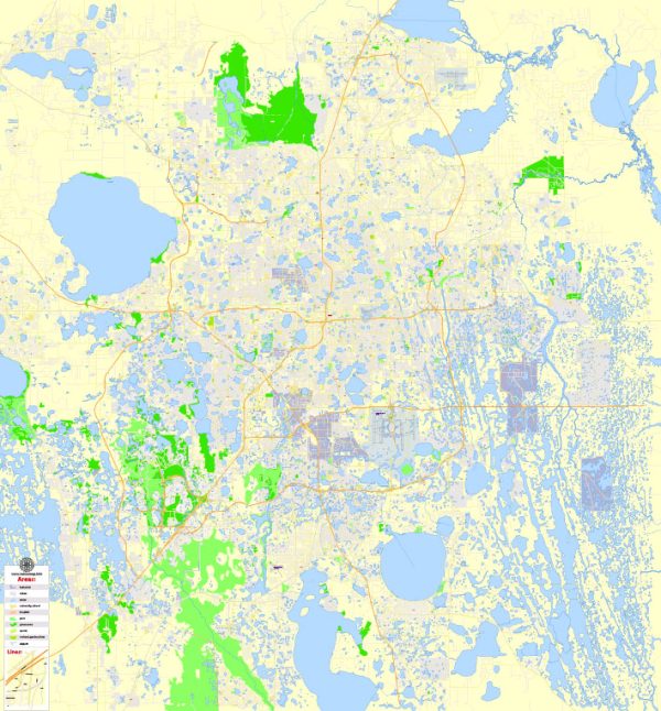
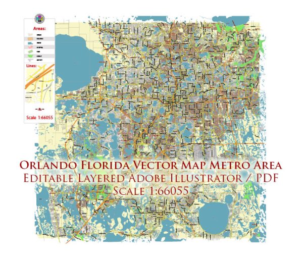
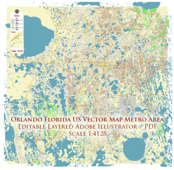
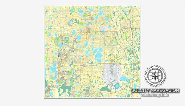
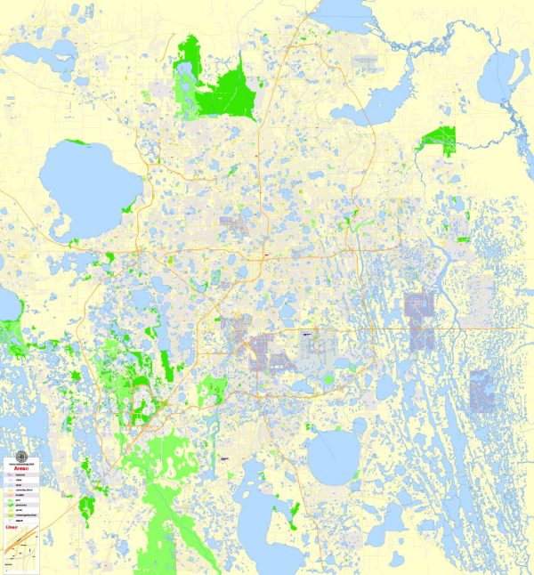
A general overview of the districts, communities, and street system in Orlando, Florida.
Vectormap.Net provide you with the most accurate and up-to-date vector maps in Adobe Illustrator, PDF and other formats, designed for editing and printing. Please read the vector map descriptions carefully.
Districts:
- Downtown Orlando: The heart of the city, featuring a mix of commercial, residential, and entertainment areas. Downtown Orlando is known for its skyscrapers, office buildings, Lake Eola Park, and the iconic Church Street Station.
- Thornton Park: Adjacent to downtown, Thornton Park is a historic neighborhood known for its brick-lined streets, bungalow-style houses, and vibrant dining and shopping scene.
- Milk District: Located to the east of downtown, the Milk District is an eclectic neighborhood with a mix of art, culture, and a variety of local businesses. It’s named after the T.G. Lee Dairy, which was once located in the area.
- College Park: Northwest of downtown, College Park is a residential neighborhood with tree-lined streets, historic homes, and a small-town feel. Edgewater Drive is the main commercial strip, featuring shops and restaurants.
- Winter Park: Although not technically part of Orlando, Winter Park is a nearby city known for its upscale shopping, dining, and cultural attractions. Park Avenue is a popular destination with boutique stores and fine dining.
- International Drive (I-Drive): South of downtown, I-Drive is a major tourist corridor with a concentration of hotels, restaurants, and attractions, including the Orlando Eye and numerous theme parks.
- Lake Nona: Located southeast of downtown, Lake Nona is a rapidly growing community known for its innovation and technology focus. It includes the Lake Nona Medical City, a hub for medical research and healthcare facilities.
Communities: Orlando has a diverse range of residential communities, each with its own character and amenities. Some notable communities include Baldwin Park, Dr. Phillips, Celebration, Windermere, and Avalon Park.
Street System: Orlando’s street system is generally organized in a grid pattern. Major roads include I-4, which connects Orlando to Tampa and Daytona Beach, and the 408 (East-West Expressway), providing east-west connectivity. The 417 (Central Florida GreeneWay) is a toll road that encircles the Orlando metropolitan area.
Local roads and streets are typically laid out in a grid, with numbered streets running north-south and named avenues running east-west. Orange Avenue and Magnolia Avenue are significant north-south roads in downtown Orlando.
Keep in mind that Orlando is continually growing and evolving, so new developments and changes to the urban landscape may have occurred since my last update. For the most accurate and up-to-date information, it’s recommended to consult local maps, city planning resources, or official Orlando city websites.

 Author: Kirill Shrayber, Ph.D.