Extended Description of the Vector Map
Printable PDF Vector Map of North Carolina US Extended detailed Roads Admin (addon layers – Cities by Population) scale 1:61578 full editable Adobe PDF Road Map in layers, scalable, text format all names, 383 MB ZIP
Principal street names, Main Objects. Map for design, printing, arts, projects, presentations, for architects, designers, and builders, business, logistics.
Included: Simple vector map North Carolina.
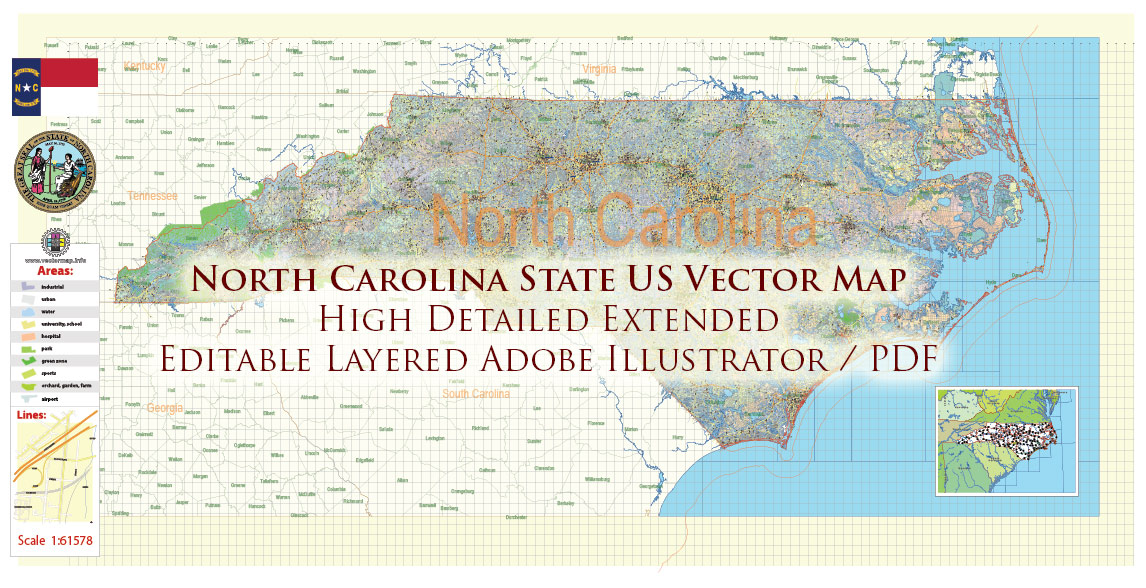
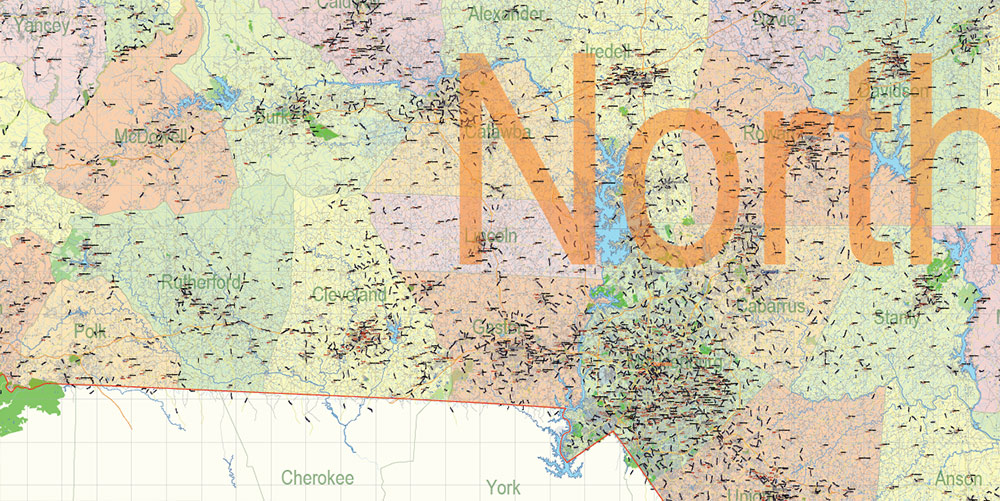
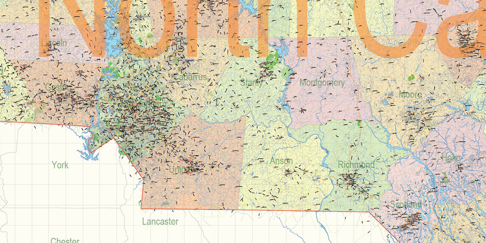
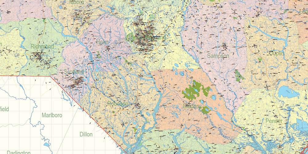
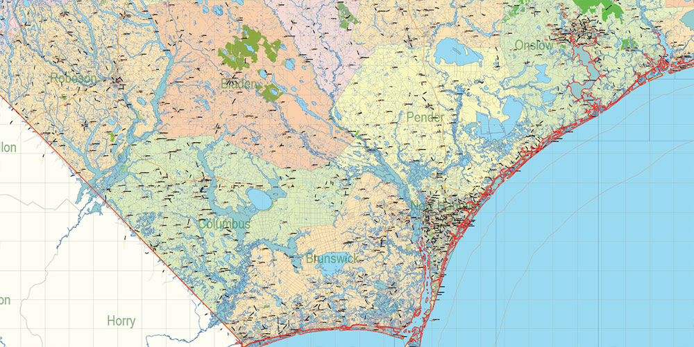
North Carolina State US PDF Map Vector Exact Extended High Detailed Road Admin Map editable Adobe PDF in layers
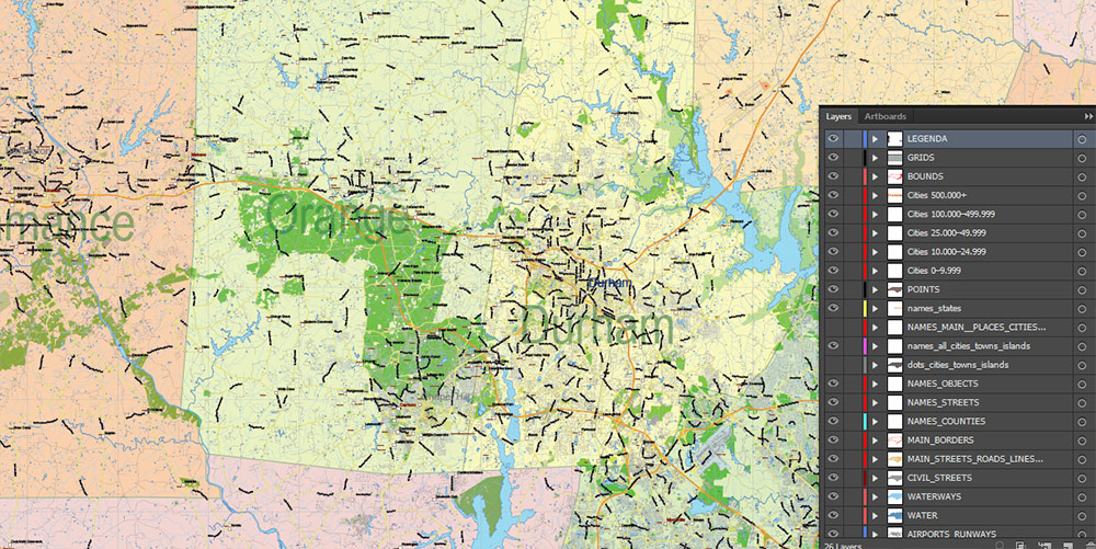
Layers list North Carolina State Roads Admin map:
- Legend
- Grids
- Labels of roads
- Addon layers – Cities by population categories + addon points
- Points of airports
- Names of airports
- Names of places (city, hamlet, etc.)
- Names of cities, towns, hamlets 2
- Names of objects (hospitals, schools, parks, water)
- Points of cities, towns, hamlets
- Names of Main streets
- Main Streets, roads.
- Civil streets
- Railroads
- Waterways (lines)
- Water objects (rivers, lakes, ponds) areas
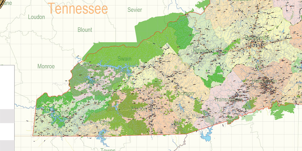
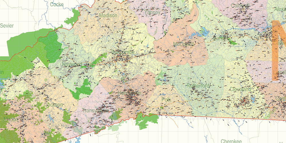
- Names of Counties
- Names of States
- Zipcodes areas
- Zipcodes numbers
- Counties areas
- States areas
- Color fills (parks, hospital areas, school areas, etc.)
- Background and sea
The most exact and detailed map of the State North Carolina in scale.
ALSO: DWG, DXF, CDR and other formats: free convert for our customers.
For Editing and High-Quality Printing
1. AO OVERVIEW
-
Large, diverse state stretching from Atlantic barrier islands to rugged Appalachian mountains.
-
Three distinct combat zones:
-
Coastal Plain – flat, waterlogged, river-crossed.
-
Piedmont Belt – rolling high-value urban/industrial corridor.
-
Appalachian West – steep ridges, deep valleys, natural fortresses.
-
Strategic role:
-
Controls a massive segment of the U.S. Atlantic coastline.
-
Hosts multiple elite military installations and logistics hubs.
-
Critical east–west energy, rail, and highway arteries.
2. KEY TERRAIN & REGIONS
Eastern Coastal Zone (Atlantic + Outer Banks)
-
Barrier islands (Outer Banks): extremely narrow, shifting sands, limited access points.
-
Pamlico & Albemarle Sounds: large shallow lagoons; amphibious heaven, armored nightmare.
-
Swamp complexes: Great Dismal Swamp (north), Croatan Forest (central).
-
Mobility: restricted; bridges and causeways define maneuver.
Central Piedmont (Urban-Industrial Spine)
-
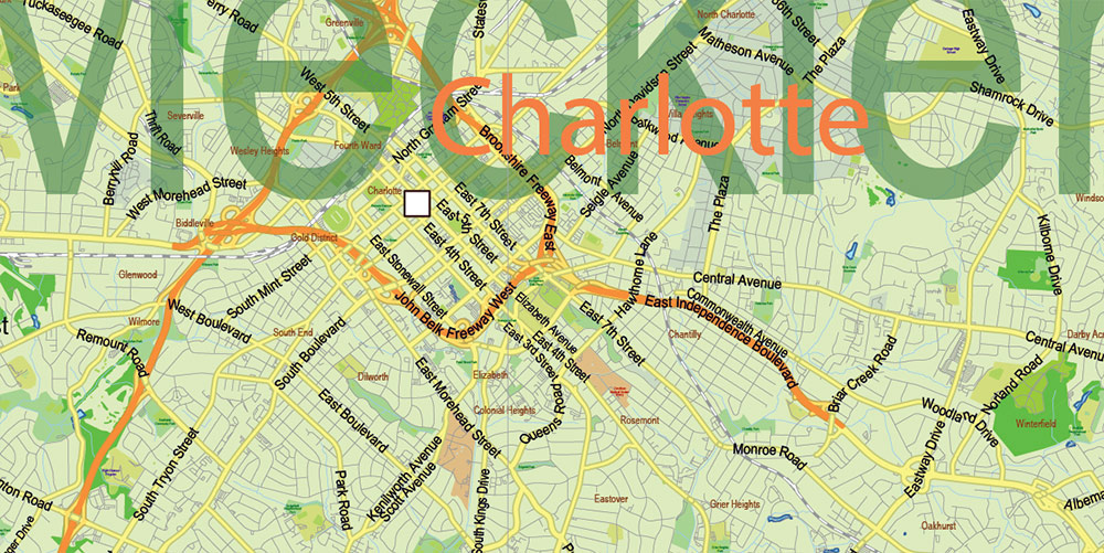
Charlotte–Greensboro–Raleigh triad: heart of population, industry, tech, finance.
-
Mixed forest/suburban terrain, rolling hills, multilane highways.
-
Critical nodes: banking sector (Charlotte), government seat (Raleigh), logistics hub (Greensboro).
Western Mountains (Blue Ridge + Great Smokies)
-
High ridges, steep escarpments, deep river valleys.
-
Limited MSRs through gaps; natural defensive AO.
-
Weather shifts fast; fog/low clouds affect aviation.
3. LINES OF COMMUNICATION (ROUTES)
Primary MSRs (Main Supply Routes)
-
I-95:
-
I-40:
-
I-85:
-
I-77:
-
I-26:
-
Cuts through western mountain AO, linking Asheville to Tennessee and SC.
-
Weather-sensitive, limited alternate paths.
-
I-74 (expanding):
Critical ASRs
-
US-70, US-64, US-17, US-74, US-421 — provide lateral movement but often cross rivers/swamps with limited redundancy.
-
Major coastal bridges and causeways: OBX, Morehead City, Wilmington – high-value and fragile.
4. URBAN AREAS & HUMAN TERRAIN
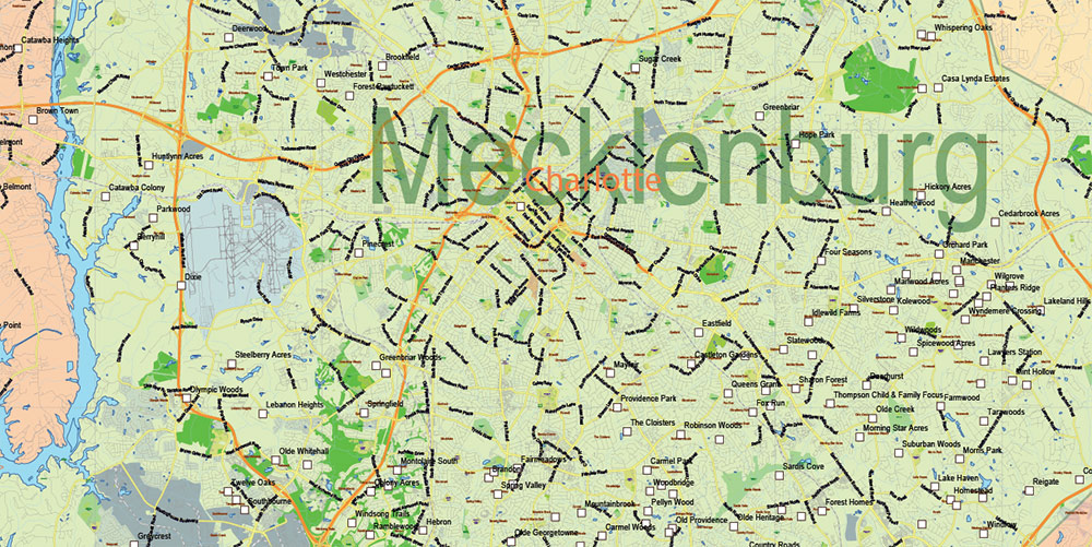
Charlotte
-
Largest city; national banking center.
-
Dense downtown, sprawl belt, layered highways (I-77/I-85).
-
Critical energy + financial infrastructure.
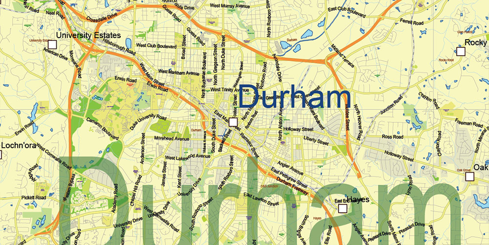
Raleigh–Durham–Chapel Hill (Research Triangle)
-
Government center (Raleigh) + major research/university presence.
-
High-tech population, data centers, R&D labs.
-
Dense but orderly suburban structure.
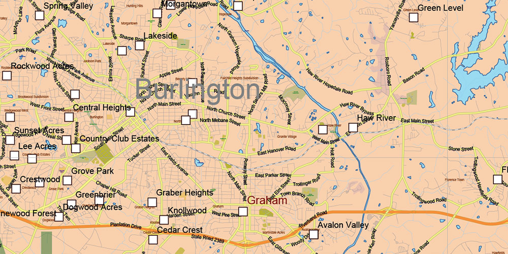
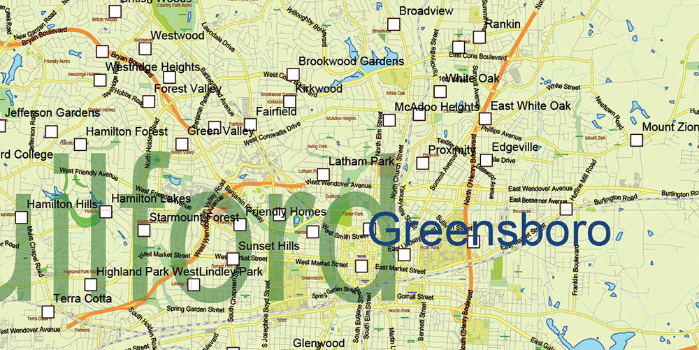
Greensboro–Winston-Salem–High Point (Triad)
-
Logistics, manufacturing, distribution hubs.
-
Large rail yards, intermodal centers.
Fayetteville
Coastal Cities (Wilmington, Jacksonville, Morehead City)
-
Ports, marine logistics, and access to barrier islands.
-
Jacksonville hosts Camp Lejeune – major Marine Corps base.
Demographic Profile
-
Total population ~11 million.
-
Strong migration from other states; diverse workforce.
-
High military presence: Army, Marines, Air Force across multiple installations.
-
Socioeconomic divide: wealthier in Triangle/Charlotte; poorer rural counties in east and west.
5. HYDROGRAPHY & WATER RESOURCES
-
Coastline > 480 km with barrier islands, inlets, and shifting channels.
-
Major sounds: Pamlico, Albemarle – huge, shallow, wind-sensitive.
-
Rivers:
-
Cape Fear (flows through Fayetteville → Wilmington).
-
Neuse and Tar-Pamlico (flood-prone, wide floodplains).
-
Roanoke, Catawba, French Broad (mountain rivers with dams and reservoirs).
Hydrological implications:
-
Widespread flood zones in the Coastal Plain; heavy storms immobilize whole sectors.
-
Swamps = natural obstacles; excellent for concealment, poor for armor.
-
Reservoirs near Piedmont provide water + power infrastructure targets.
6. TRANSPORTATION & INFRASTRUCTURE
Air
-
Charlotte Douglas International: major U.S. air hub, heavy cargo capacity.
-
Raleigh-Durham International (RDU): key commercial/hi-tech hub.
-
Pope Army Airfield (at Fort Liberty): airborne operations base.
-
Wilmington (ILM), Asheville (AVL), multiple regional airports.
Sea
-
Port of Wilmington: container + bulk cargo.
-
Morehead City Port: deepwater, military logistics friendly.
-
OBX ferry network supports secondary coastal movement.
Rail
-
Norfolk Southern + CSX: dense freight network, especially Greensboro/Charlotte.
-
Amtrak along major population belt.
-
Rail yards around Charlotte, Greensboro, Rocky Mount = high-value.
Energy/Comms
-
Numerous power plants (nuclear at Brunswick/McGuire/Shearon Harris).
-
Solar farms eastern counties.
-
Fiber corridors along I-85 and I-40.
7. CLIMATE & WEATHER
-
Humid subtropical.
-
Hurricanes and tropical storms frequent along coast.
-
Winter: mild in east, but snow/ice possible in Piedmont; heavy snow in Appalachians.
-
Fog: common in mountains and wetlands.
-
Summer heat + humidity degrade personnel endurance.
8. KEY MILITARY & STRATEGIC NODES
-
Fort Liberty (Bragg): airborne + special ops, the most significant military force concentration in the Southeast US.
-
Camp Lejeune: Marine Corps expeditionary hub, amphibious training grounds.
-
Cherry Point Marine Air Station: aviation + logistics node.
-
Pope AAF: strategic airlift for airborne units.
-
Ports (Wilmington / Morehead): essential for maritime operations.
-
Charlotte/Raleigh industrial & data clusters: high-value infrastructure.
9. HAZARDS, LIMITATIONS & THREATS
-
Hurricanes: can shut down entire coastal AO for days; surge risk extreme in Outer Banks.
-
Flooding: Neuse, Tar, Cape Fear basins highly flood-prone; restrict movement.
-
Swamps & wetlands: hidden channels, unstable ground; high insect/disease load in summer.
-
Urban sprawl: difficult to secure due to low-density spread, multiple access points.
-
Mountain roads: narrow, landslide-prone, limited alternates.
-
Military terrain awareness: local forces well-trained, numerous bases, tight comms.
10. COMMAND TAKEAWAYS
-
Coastal AO is fragile: bridges/causeways are decisive — deny or secure immediately.
-
Piedmont controls the state: Charlotte–Triad–Triangle = political, industrial, and transport nexus.
-
Military installations dominate operations: Fort Liberty + Camp Lejeune shape all force calculations.
-
East–west mobility depends on I-40: losing segments fractures operational reach.
-
Floods and storms dictate tempo: weather is a force multiplier or a threat.
-
Mountains provide overwatch: control ridges for observation, comms, and interdiction.
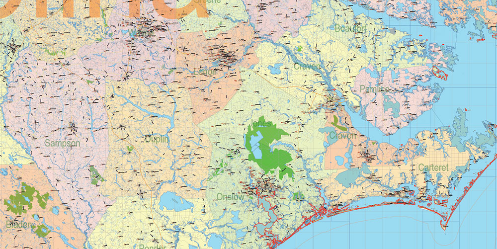
North Carolina State US PDF Map Vector Exact Extended High Detailed Road Admin Map editable Adobe PDF in layers
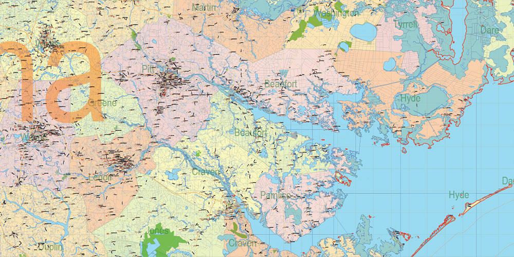
North Carolina State US PDF Map Vector Exact Extended High Detailed Road Admin Map editable Adobe PDF in layers
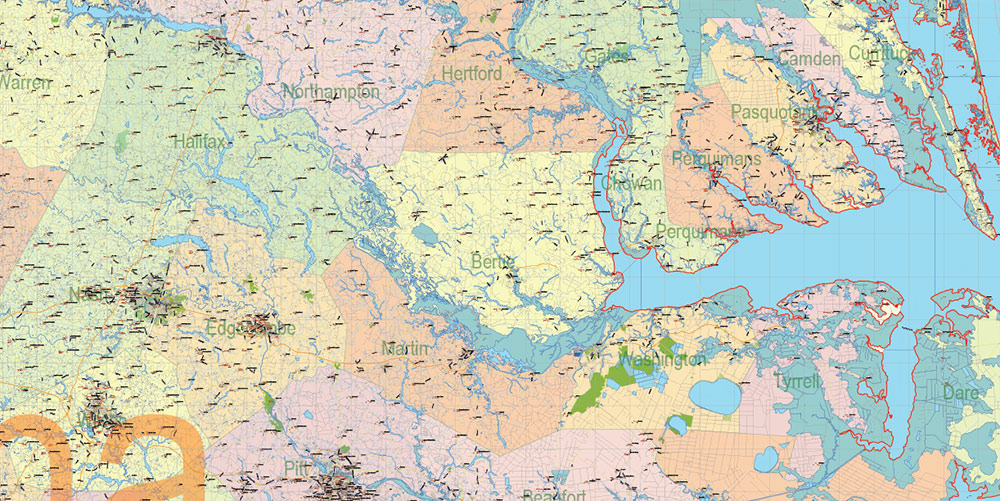
North Carolina State US PDF Map Vector Exact Extended High Detailed Road Admin Map editable Adobe PDF in layers
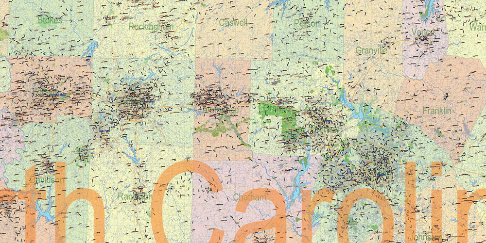
North Carolina State US PDF Map Vector Exact Extended High Detailed Road Admin Map editable Adobe PDF in layers
North Carolina State US PDF Map Vector Exact Extended High Detailed Road Admin Map editable Adobe PDF in layers
North Carolina State US PDF Map Vector Exact Extended High Detailed Road Admin Map editable Adobe PDF in layers
North Carolina State US PDF Map Vector Exact Extended High Detailed Road Admin Map editable Adobe PDF in layers
North Carolina State US PDF Map Vector Exact Extended High Detailed Road Admin Map editable Adobe PDF in layers
North Carolina State US PDF Map Vector Exact Extended High Detailed Road Admin Map editable Adobe PDF in layers
North Carolina State US PDF Map Vector Exact Extended High Detailed Road Admin Map editable Adobe PDF in layers
North Carolina State US PDF Map Vector Exact Extended High Detailed Road Admin Map editable Adobe PDF in layers
North Carolina State US PDF Map Vector Exact Extended High Detailed Road Admin Map editable Adobe PDF in layers
North Carolina State US PDF Map Vector Exact Extended High Detailed Road Admin Map editable Adobe PDF in layers
North Carolina State US PDF Map Vector Exact Extended High Detailed Road Admin Map editable Adobe PDF in layers
North Carolina State US PDF Map Vector Exact Extended High Detailed Road Admin Map editable Adobe PDF in layers
North Carolina State US PDF Map Vector Exact Extended High Detailed Road Admin Map editable Adobe PDF in layers
Author Rating
Aggregate Rating
no rating based on 0 votes
@vectormapper
Product Name North Carolina US Map Vector Exact Plan High Detailed Road Admin Map editable Adobe Illustrator in layers
Price
USD 79
Product Availability
Available in Stock


 Author: Kirill Shrayber, Ph.D. FRGS

