Extended Description of the Vector Map
Printable CDR Vector Map of Charlotte North Carolina Grande US detailed City Plan scale 100 m 1:3834 full editable CorelDRAW Street Map in layers, scalable, text format all names, 100 MB ZIP
All street names, Main Objects, Buildings. Map for design, printing, arts, projects, presentations, for architects, designers, and builders, business, logistics.
Layers: color_fills, water, streets_roads, labels_roads, names_objects, names_streets, names_places, arrows_streets, buildings, legend, etc.
The most exact and detailed map of the city in scale.
For Editing and High-Quality Printing
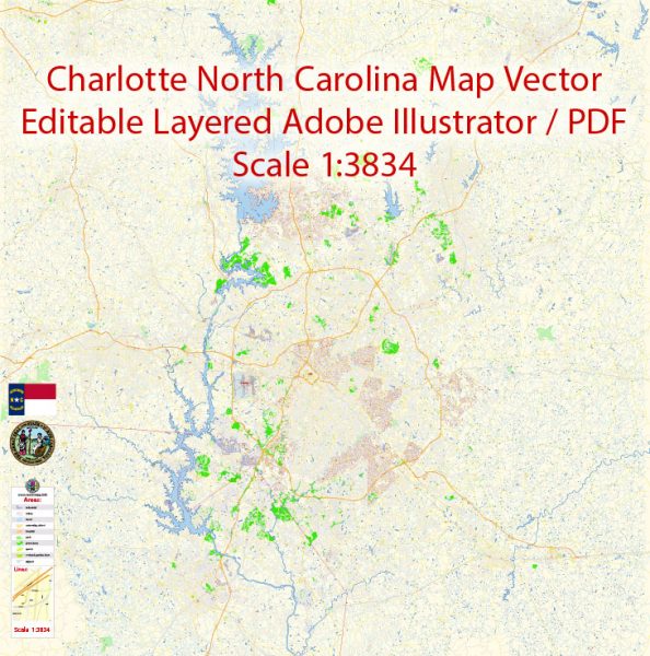
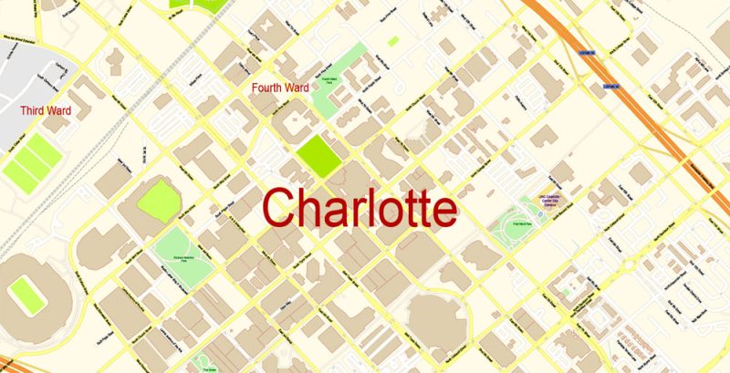
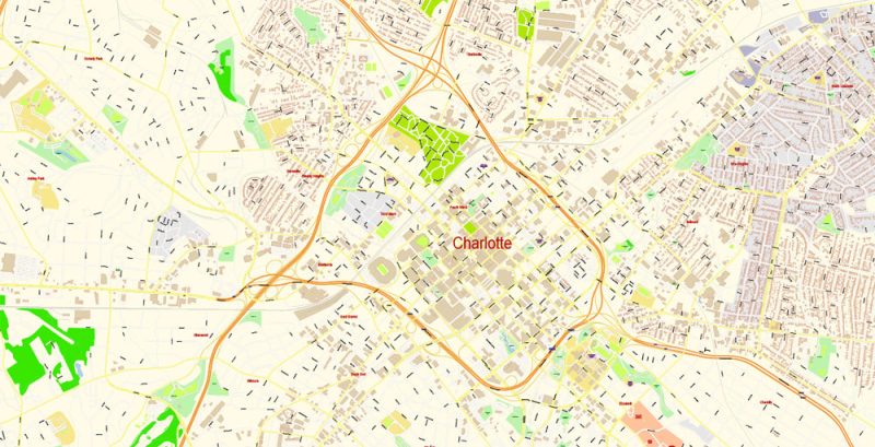
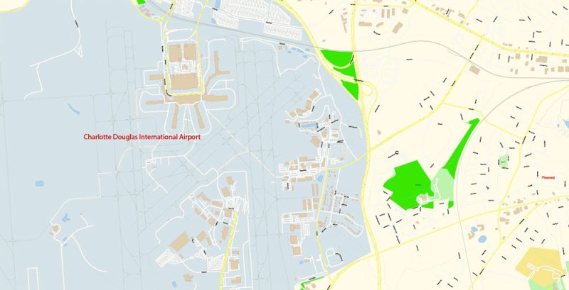
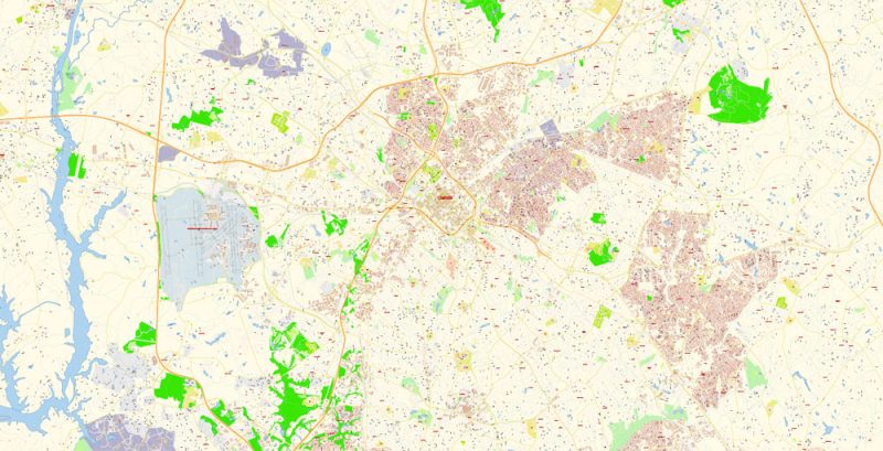
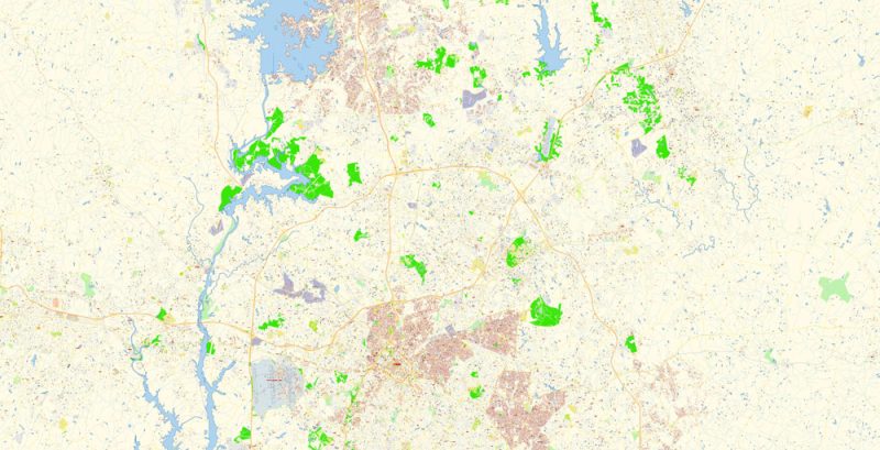
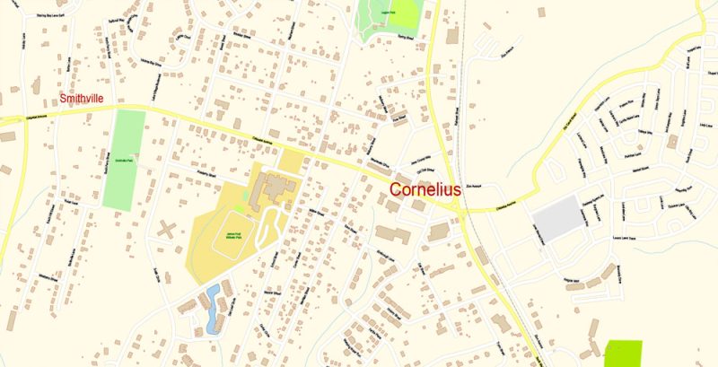
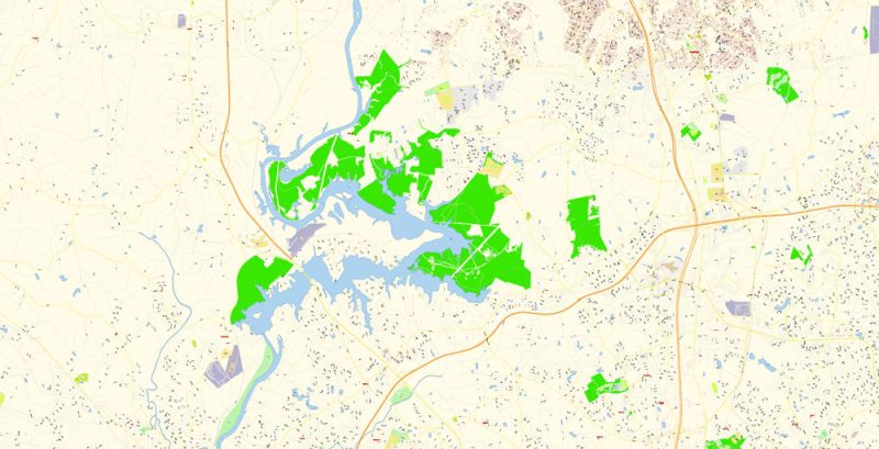
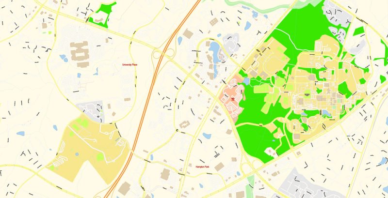
Charlotte North Carolina CDR Map Vector Grande Exact City Plan detailed Street Map editable CorelDRAW in layers
Charlotte NC
Charlotte is the largest city in North Carolina. It is located in the East of the United States near the border between North and South Carolina. According to official statistics, the city with a total area of 771 square kilometers is home to more than 756 thousand inhabitants. Very often called Charlotte “Queen’s City”.
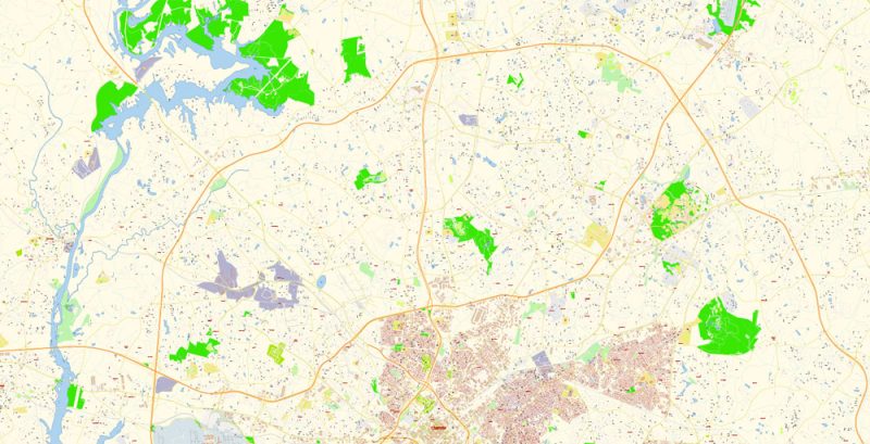
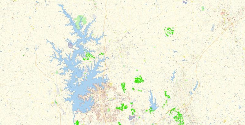
Charlotte North Carolina CDR Map Vector Grande Exact City Plan detailed Street Map editable CorelDRAW in layers
Charlotte’s location between the densely populated Southeast and northeast, as well as its distance from water resources, influenced the active development of air, rail and road infrastructure. Today, Charlotte is the second largest financial center of the country after New York. In the heart of the city is a 60-story skyscraper Bank of America Corporate Center (265 m) – the tallest building in the state. It is here that the headquarters of the largest Bank in the United States of America – the Bank of America.
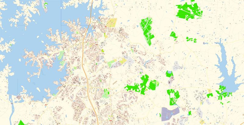
Charlotte North Carolina CDR Map Vector Grande Exact City Plan detailed Street Map editable CorelDRAW in layers
Charlotte was founded by immigrants from England, France, Ireland, Scotland and Germany and is named after the wife of King George III, Queen Charlotte Sophia of Mecklenburg-Strelitsky. The city was built at the intersection of two trade roads, which for hundreds of years, many generations of Indians and immigrants moved East to the coastal plains and West to the mountains. From 1800 to 1848 the gold mines of the city were the main source of gold mining in the country. After the gold mines began to Deplete, the main source of income for Charlotte was the production of cotton. With the invention of the cotton gin, the city eventually became a real center of the textile industry of the country.
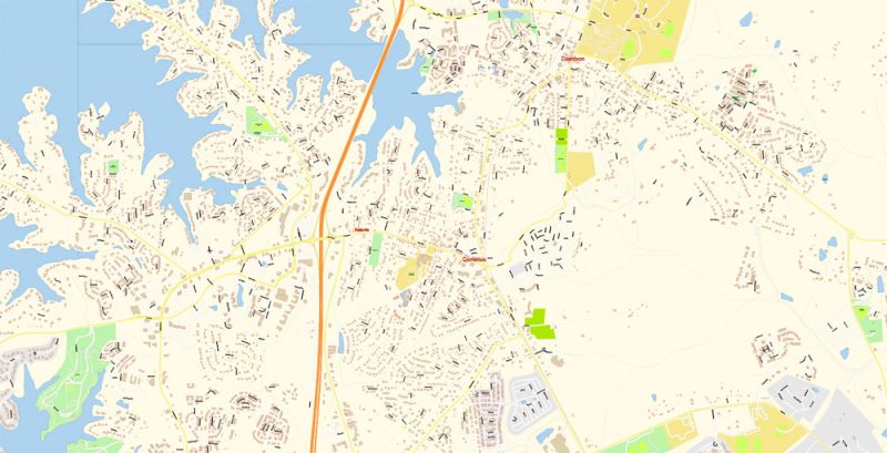
Charlotte North Carolina CDR Map Vector Grande Exact City Plan detailed Street Map editable CorelDRAW in layers
In the 1970s, the banking business of Charlotte reached a high level, an important role in this was played by financier Hugh McCall Jr. It was he who made the transformation of the National Bank of North Carolina, which later turned into a major national Bank – the Bank of America.
Charlotte North Carolina CDR Map Vector Grande Exact City Plan detailed Street Map editable CorelDRAW in layers
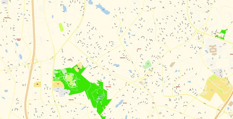
In Charlotte, there are a lot of attractions that attract a huge number of travelers. Among the main attractions of the city is worth noting the old South End trolleybus line, green Park Myers, a unique area of the art North Davidson (NoDa), the University of North Carolina with a beautiful research Park and a huge campus, as well as the complex Elizabeth College. In addition, we can not ignore the country’s largest theme park Carowinds, located in the South-West of the city.
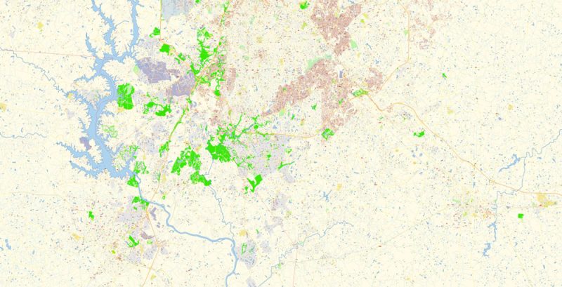
Charlotte North Carolina CDR Map Vector Grande Exact City Plan detailed Street Map editable CorelDRAW in layers
Charlotte has many museums dedicated to art and history. Guests of the city will be interested to visit the King’s Mountain National Military Park, the Museum of modern art, the famous theater complex North Carolina Blumenthal Performing Arts Center, an amazing Museum Of art and design, consisting of several complexes, an interesting Museum Of science and technology. Especially popular in the city is also located near the airport Charlotte Aviation Museum and a huge circuit, which hosts almost all the city’s activities, the famous leisure center.
Charlotte North Carolina CDR Map Vector Grande Exact City Plan detailed Street Map editable CorelDRAW in layers
Charlotte North Carolina CDR Map Vector Grande Exact City Plan detailed Street Map editable CorelDRAW in layers
Charlotte North Carolina CDR Map Vector Grande Exact City Plan detailed Street Map editable CorelDRAW in layers
Charlotte North Carolina CDR Map Vector Grande Exact City Plan detailed Street Map editable CorelDRAW in layers
Charlotte North Carolina CDR Map Vector Grande Exact City Plan detailed Street Map editable CorelDRAW in layers
Charlotte North Carolina CDR Map Vector Grande Exact City Plan detailed Street Map editable CorelDRAW in layers
Charlotte North Carolina CDR Map Vector Grande Exact City Plan detailed Street Map editable CorelDRAW in layers
Charlotte North Carolina CDR Map Vector Grande Exact City Plan detailed Street Map editable CorelDRAW in layers
Charlotte North Carolina CDR Map Vector Grande Exact City Plan detailed Street Map editable CorelDRAW in layers


 Author: Kirill Shrayber, Ph.D. FRGS

