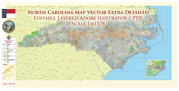
North Carolina has an extensive state road system that covers a wide range of highways and roads. The North Carolina Department of Transportation (NCDOT) is responsible for managing and maintaining the state’s road network. Here are some key components of North Carolina’s state road system:
- Interstate Highways: North Carolina is served by several major interstate highways, including I-40, I-85, I-77, I-26, I-73, and I-74. These highways connect the state to the national interstate system and facilitate the movement of people and goods.
- U.S. Highways: U.S. highways, such as US 1, US 64, US 70, and many others, provide important transportation routes within the state and connect North Carolina to neighboring states.
- State Highways: North Carolina has an extensive network of state highways, often referred to as NC routes, which cover the state from the mountains to the coast. These highways serve as major routes for intrastate travel.
- Primary and Secondary Roads: The state’s road system also includes primary and secondary roads, which serve as connectors to more remote and rural areas. These roads are essential for local transportation and access to communities.
- Bridges and Tunnels: North Carolina has numerous bridges and tunnels that facilitate travel across its many rivers and bodies of water. Some well-known examples include the Outer Banks bridges and tunnels, which provide access to the barrier islands along the coast.
- Ferries: In addition to traditional roads and bridges, North Carolina operates a ferry system to connect the mainland to various coastal islands.
- Toll Roads: North Carolina has several toll roads, including the Triangle Expressway in the Research Triangle area, which helps manage congestion and fund transportation infrastructure.
The NCDOT is responsible for maintaining and improving this extensive road system, and they regularly update road conditions, construction projects, and traffic information on their website. Travelers and residents can check with NCDOT for the latest road-related updates and information. Please note that the specifics of the state road system may change over time due to construction, maintenance, and infrastructure projects, so it’s advisable to refer to NCDOT’s official resources for the most current information.


 Author: Kirill Shrayber, Ph.D.