Extended Description of the Vector Map
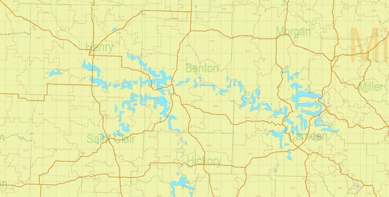
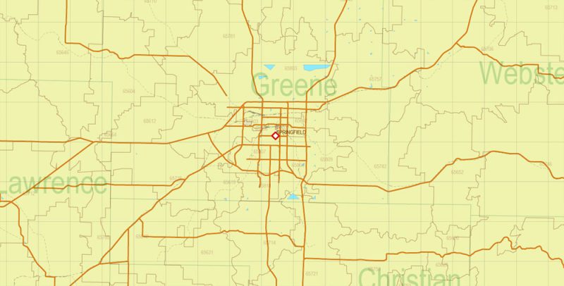
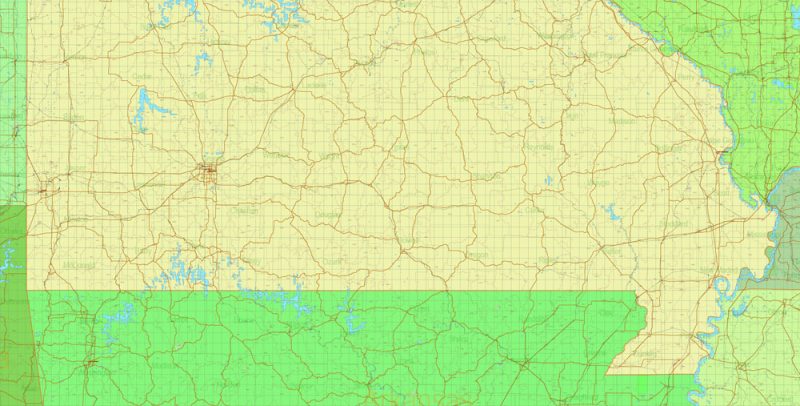
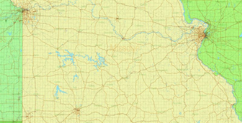
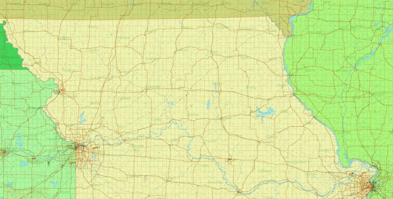
Printable Vector Map of Missouri State US Exact State Plan Main Roads Railroads Admin Zipcodes full editable Adobe Illustrator Map in layers, scalable, text format all names, 25 MB ZIP
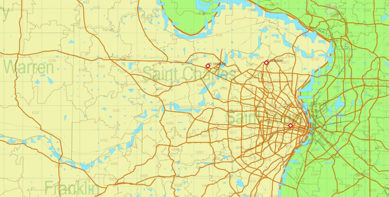
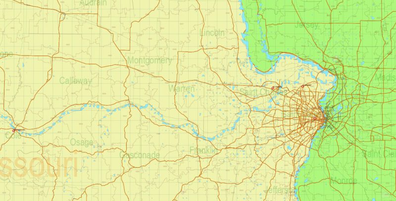
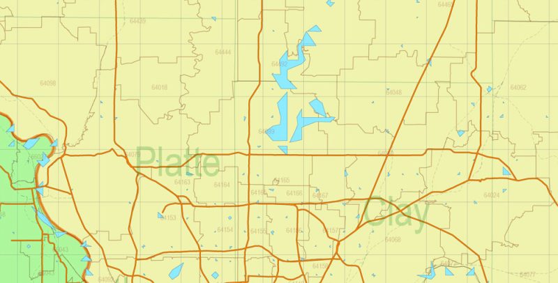
Main roads, Railroads, all Cities, Main Objects, Counties, ZIPcodes. Map for design, printing, arts, projects, presentations, for architects, designers, and builders, business, logistics.
Layers: states_areas, counties_areas, zipcodes_areas, main_roads, railroads, water, names_states, names_counties, numbers_zipcodes, names_cities, points_cities, grids, legend, etc.
The most exact and detailed map of the state in scale.
For Editing and High-Quality Printing, Royalty free
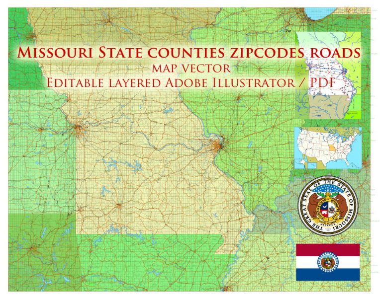
Missouri US Map Vector Exact State Plan Main Roads Railroads Admin Zipcodes Map editable Adobe Illustrator in layers
Missouri
Useful information about Missouri in the United States – geographical location, tourist infrastructure, map, architectural features, and attractions.
Missouri – one of the States of the Central part of the United States, called the Midwest. Among other States, it ranks in the second-third ten by three main indicators: 18th in population (more than 6 million people), 21st in area, became part of the state 24th after the land was acquired as a result of the Louisiana deal.
Missouri US Map Vector Exact State Plan Main Roads Railroads Admin Zipcodes Map editable Adobe Illustrator in layers
The state capital is Jefferson City and the largest city is St. Louis. Big cities also include Kansas City, Columbia, and Springfield. This state has several official nicknames, and the most original of them is “State “Show me.” This phrase is attributed to a member of the House of Representatives by the name of Vandiver, it is considered a reflection of the mistrustful nature of the Missourians.
Missouri US Map Vector Exact State Plan Main Roads Railroads Admin Zipcodes Map editable Adobe Illustrator in layers
Missouri has the most neighbors: it is bordered by eight States, with two of them the border runs along the Missouri River, with three – on the Mississippi River. It is the largest river in the state, Missouri as the transportation artery connects St. Louis and Kansas City.
Missouri US Map Vector Exact State Plan Main Roads Railroads Admin Zipcodes Map editable Adobe Illustrator in layers
Kansas City – an interesting city: very close, in the neighboring state of Kansas has a city of the same name. They are separated by the Missouri river and together form an urban agglomeration. To differentiate between Kansas City, Kansas, and Missouri, use different abbreviations, respectively, KSK and NCME. There are more than two hundred fountains in Missouri Kansas, and the public library occupies a building with an original facade – in the form of a shelf with books. The height of the “books” – about eight meters on the “shelf” – with 20 volumes: Tolkien and Shakespeare, mark TWAIN and Charles Dickens, Lao Tzu and Marquez…

Missouri US Map Vector Exact State Plan Main Roads Railroads Admin Zipcodes Map editable Adobe Illustrator in layers
St. Louis is a city founded by French settlers and named after King Louis IX. One of the symbols of this city is the “Gate to the West”, an arch erected in the 60s of the last century. The arch is part of the Jefferson National expansion memorial, the highest monument in the United States (192 meters high). At the top is an observation deck that provides an overview of almost 50 kilometers away. In forest Park are several worthy of visiting objects: museums – art, state history, science, planetarium, and zoo. St. Louis also has a Botanical garden, casino, transport Museum, city Museum.
Missouri US Map Vector Exact State Plan Main Roads Railroads Admin Zipcodes Map editable Adobe Illustrator in layers
Columbia is home to the University of Missouri, and its divisions are also located in other cities, including St. Louis and Kansas City.
Missouri US Map Vector Exact State Plan Main Roads Railroads Admin Zipcodes Map editable Adobe Illustrator in layers
The nature of Missouri is different in different parts of the state. In the North of the state is dominated by hilly plains, which are part of the Great Plains. The Ozarks in the Central part of the plateau on which are located several protected natural areas: the Cave of Onondaga (Park Missouri) and national forest Mark TWAIN. Mississippi valley – the southern part of the state, which is a lot of swamps and lakes.
Missouri US Map Vector Exact State Plan Main Roads Railroads Admin Zipcodes Map editable Adobe Illustrator in layers
Missouri US Map Vector Exact State Plan Main Roads Railroads Admin Zipcodes Map editable Adobe Illustrator in layers
Missouri US Map Vector Exact State Plan Main Roads Railroads Admin Zipcodes Map editable Adobe Illustrator in layers


 Author: Kirill Shrayber, Ph.D. FRGS


