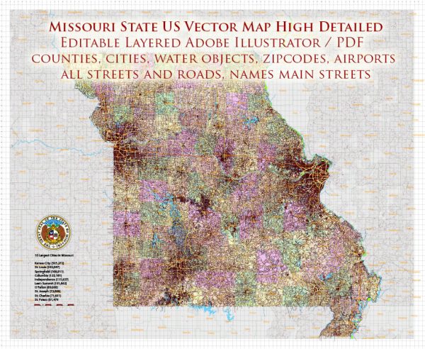
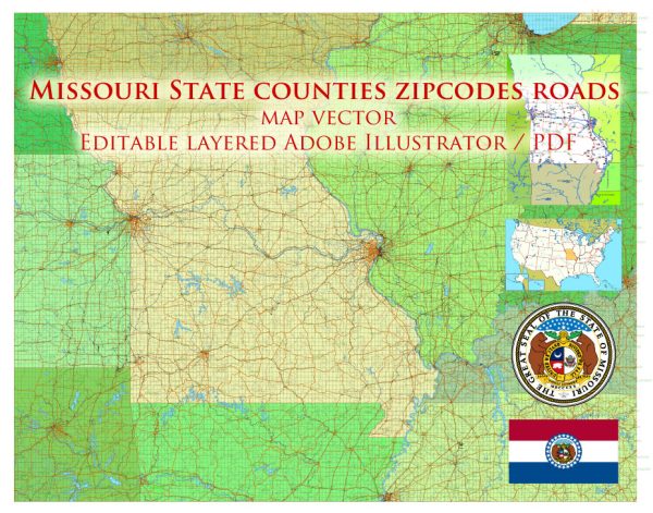
Vector Map Missouri : a state in the Midwest of the United States, the 24th state in the federation, the 21st state in terms of area and the 19th in terms of population. The state unites 114 ordinary districts and 1 urban district – St. Louis. The largest cities are St. Louis, Kansas City, Springfield and Columbia.
Capital: Jefferson City
Population: 6,124
Instant download archives: royalty free, editable vector maps of Missouri State in high resolution digital PDF and Adobe Illustrator format.
All of our editable Missouri State vector maps are digital files,
which can be instantly downloaded in editable PDF or Adobe Illustrator format.
Objects on maps are usually divided into layers according to their types – lines, polygons, street names, object names (see map description!!!!)
Each of our Missouri State digital maps is available in Adobe Illustrator or editable PDF format, (or on request in any other known format for the same price)
which use a vector approach to display images,
you can easily enlarge any part of our maps without compromising text, line or graphic quality,
with any increase or decrease ratio.
Using a vector graphics editor such as Adobe Illustrator, CorelDraw, Inkscape, or Freehand
you can easily crop parts of the map, add custom characters, and change colors and font attributes as needed.
We have a variety of Missouri State vector maps with different levels of detail, from simple empty paths to highly detailed maps with roads and terrain layers.
Don’t see exactly what you’re looking for? Contact us to receive a special offer for an individual Missouri State map for your project.
A general demographic overview of Missouri, United States, based on available information.
Vectormap.Net provide you with the most accurate and up-to-date vector maps in Adobe Illustrator, PDF and other formats, designed for editing and printing. Please read the vector map descriptions carefully.
Population:
Missouri is known for its diverse population. As of the 2023 United States Census, Missouri had an estimated population of around 6.15 million people. The population has been growing steadily over the years, with increases in urban and suburban areas.
Racial and Ethnic Composition:
Missouri has a relatively diverse population with the following racial and ethnic composition:
- White: The majority of the population in Missouri is White, making up a significant percentage of the residents.
- African American: There is a substantial African American population, especially in urban areas like St. Louis and Kansas City.
- Hispanic or Latino: The Hispanic or Latino population is a growing segment in Missouri, contributing to the overall diversity.
- Asian: The Asian population in Missouri is smaller compared to some other states, but there are diverse Asian communities in cities like St. Louis.
Age Distribution:
The age distribution in Missouri is varied, with a mix of younger and older residents. Urban areas tend to have a more diverse age demographic, while rural areas may have an older population.
Urban vs. Rural:
Missouri has a mix of urban and rural areas. The major cities include St. Louis, Kansas City, Springfield, and Columbia. These urban centers are more densely populated and economically active, while rural areas are characterized by agriculture and smaller communities.
Education:
Missouri has a well-established education system, with several universities and colleges. Major institutions include the University of Missouri system, Washington University in St. Louis, and Missouri State University.
Economy:
The state’s economy is diverse, with industries such as agriculture, manufacturing, healthcare, and services playing significant roles. St. Louis and Kansas City are important economic hubs.
Religion:
Missouri is religiously diverse, with various Christian denominations being predominant. There are also communities representing other religions, including Islam, Judaism, and Buddhism.
Political Landscape:
Missouri has been a swing state in recent elections, with voters supporting both Democratic and Republican candidates. The state’s political landscape reflects a mix of conservative and liberal viewpoints.
Please note that these demographic characteristics can change, and the most accurate and up-to-date information can be obtained from sources like the U.S. Census Bureau or other official state and local government sources.


 Author: Kirill Shrayber, Ph.D.