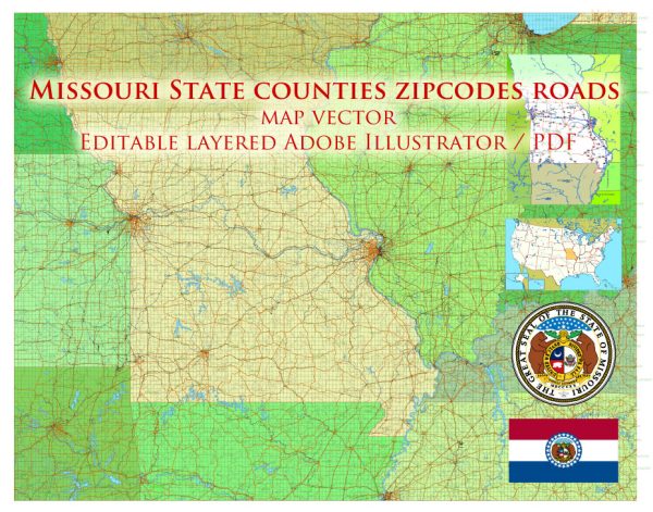
Vector Maps of the Missouri : constituent state of the United States of America. To the north lies Iowa; across the Mississippi River to the east, Illinois, Kentucky, and Tennessee; to the south, Arkansas; and to the west, Oklahoma, Kansas, and Nebraska. With the exception of Tennessee, Missouri has more neighboring states than any other U.S. state. Bisecting the state is the Missouri River, flowing from Kansas City in the west, through the state’s capital, Jefferson City, in the center, to just above St. Louis in the east, where it joins the Mississippi. Missouri was the name of a group of indigenous people who lived in the area at the time of European settlement; the French named the river after the native community, and the river, in turn, gave its name to the state.
Area:
• Total: 69,715 sq mi (180,560 km2)
• Land: 68,886 sq mi (179,015 km2)
Download royalty free, editable vector maps of Missouri State in high resolution digital PDF and Adobe Illustrator format.
Vectormap.Net provide you with the most accurate and up-to-date vector maps in Adobe Illustrator, PDF and other formats, designed for editing and printing. Please read the vector map descriptions carefully.
A general overview of Missouri’s cities, towns, roads, and streets infrastructure.
Cities and Towns:
- St. Louis: Located in eastern Missouri along the Mississippi River, St. Louis is a major metropolitan area known for its iconic Gateway Arch, historic neighborhoods, and cultural attractions.
- Kansas City: Situated on the western border of Missouri, Kansas City is another significant metropolitan area. It is known for its jazz heritage, barbecue cuisine, and cultural institutions.
- Springfield: Located in the southwestern part of the state, Springfield is the third-largest city in Missouri. It serves as a regional economic hub with a diverse economy.
- Columbia: Home to the University of Missouri, Columbia is situated in the central part of the state. It has a vibrant cultural scene and a college-town atmosphere.
- Jefferson City: The state capital, Jefferson City is located in central Missouri along the Missouri River. It is known for its historic architecture and government institutions.
- Independence: A suburb of Kansas City, Independence has historical significance as the starting point of the Oregon Trail and the hometown of President Harry S. Truman.
- St. Charles: Located northwest of St. Louis, St. Charles has a charming historic district along the Missouri River and is known for its festivals and events.
Roads and Highways:
- Interstate Highways: Missouri is crisscrossed by several major interstates, including I-70 (east-west), I-44 (east-west), I-55 (north-south), and I-35 (north-south).
- US Highways: U.S. Route 61, U.S. Route 63, U.S. Route 65, and U.S. Route 71 are among the important highways connecting various parts of the state.
- State Highways: Missouri has an extensive state highway system that connects cities, towns, and rural areas.
- Bridges: Given its location along the Mississippi and Missouri Rivers, Missouri has numerous bridges, with some of the notable ones in St. Louis connecting Missouri to Illinois.
Streets and Local Infrastructure:
- Street Grids: Most cities in Missouri have well-organized street grids, with numbered streets and avenues in urban areas.
- Public Transportation: Larger cities, especially St. Louis and Kansas City, have public transportation systems, including buses and light rail.
- Airports: Missouri is served by several airports, with Lambert-St. Louis International Airport and Kansas City International Airport being the major ones.
- Cycling and Pedestrian Infrastructure: Some cities, especially Columbia and St. Louis, have made efforts to enhance cycling and pedestrian infrastructure with dedicated paths and trails.
It’s important to verify this information with more recent sources, as infrastructure and urban development are subject to change. Local government websites and transportation departments can provide the latest information on roads and infrastructure projects.


 Author: Kirill Shrayber, Ph.D.