Extended Description of the Vector Map
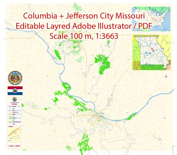
Printable Vector Map of Columbia Jefferson City Missouri US detailed City Plan scale 100 m 1:3663 full editable Adobe Illustrator Street Map in layers, scalable, text format all names, 19 MB ZIP
All street names, Main Objects, Buildings. Map for design, printing, arts, projects, presentations, for architects, designers, and builders, business, logistics.
Layers: color_fills, water, streets_roads, labels_roads, names_objects, names_streets, names_places, arrows_streets, buildings, grids, legend, etc.
The most exact and detailed map of the city in scale.
For Editing and High-Quality Printing
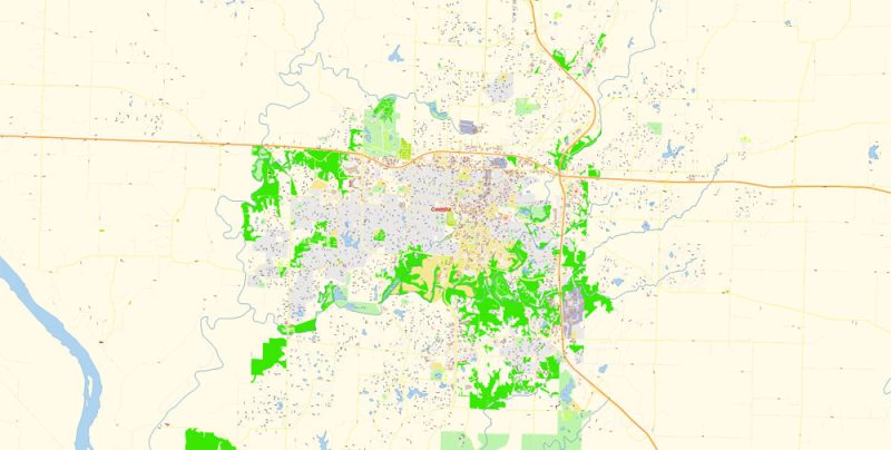
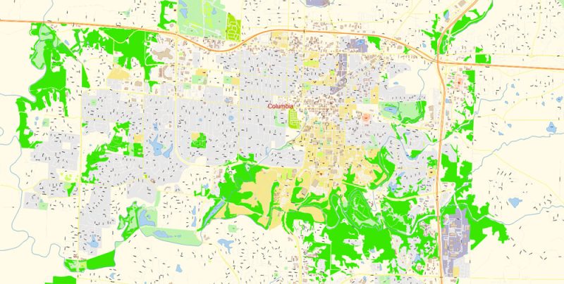
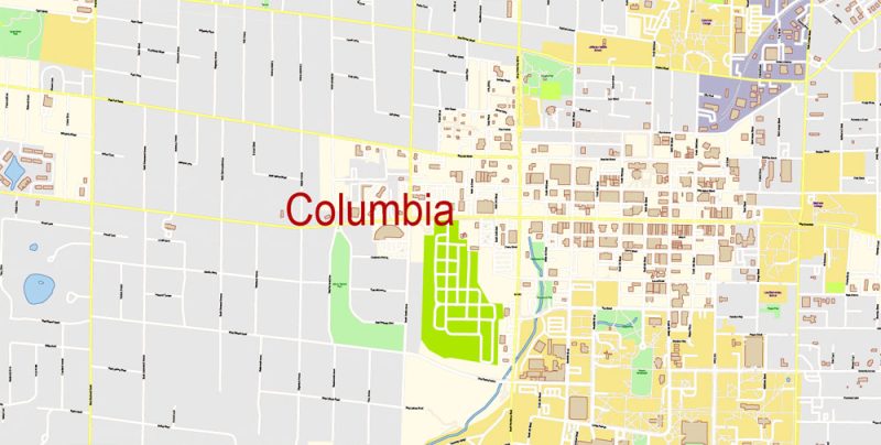
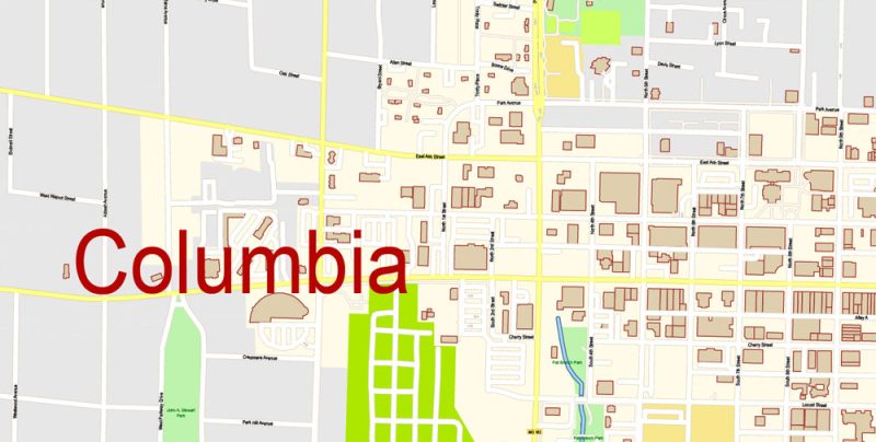
Columbia
City in Missouri
Columbia is a city in central Missouri. Part of the University of Missouri, the Museum of Art and Archaeology exhibits European paintings and ancient Greek and Roman art. At the center of the university’s main campus, Francis Quadrangle comprises lawns, 6 stone columns, many landmark buildings, and Mizzou Botanic Garden flowerbeds. To the east, Stephens Lake Park has trails, picnic shelters, a beach, and a boardwalk.
Elevation: 231 m
ZIP Codes: 65201, 65202, 65203, 65211
Population: 121,717
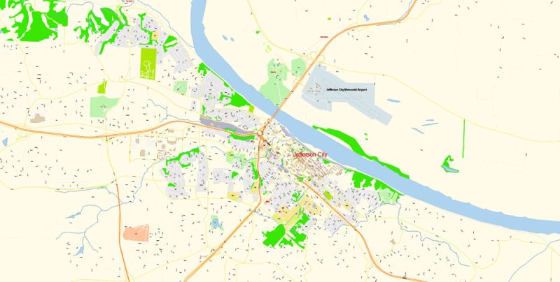
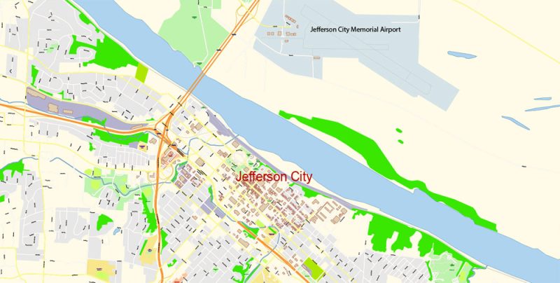
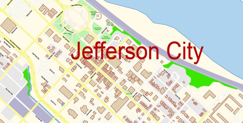
Jefferson City
City in Missouri
Jefferson City, officially the City of Jefferson and informally Jeff, is the capital of the U.S. state of Missouri and the 15th most populous city in the state.
Population: 42,895
Columbia Jefferson City Missouri Map Vector Exact City Plan detailed Street Map editable Adobe Illustrator in layers
Columbia Jefferson City Missouri Map Vector Exact City Plan detailed Street Map editable Adobe Illustrator in layers
Columbia Jefferson City Missouri Map Vector Exact City Plan detailed Street Map editable Adobe Illustrator in layers
Columbia Jefferson City Missouri Map Vector Exact City Plan detailed Street Map editable Adobe Illustrator in layers
Columbia Jefferson City Missouri Map Vector Exact City Plan detailed Street Map editable Adobe Illustrator in layers
Columbia Jefferson City Missouri Map Vector Exact City Plan detailed Street Map editable Adobe Illustrator in layers
Columbia Jefferson City Missouri Map Vector Exact City Plan detailed Street Map editable Adobe Illustrator in layers
Columbia Jefferson City Missouri Map Vector Exact City Plan detailed Street Map editable Adobe Illustrator in layers


 Author: Kirill Shrayber, Ph.D. FRGS


