Extended Description of the Vector Map
The area of the state of Mississippi – 125,443 km2 (32nd place in the United States)
Length of the State of Mississippi:
from north to south-545 km
from east to west-275 km
Mississippi Region – Southeastern Central United States
The highest point of the state of Mississippi – 246 meters above sea level
The lowest point of the state of Mississippi – 0 meters above sea level
The abbreviation of the state of Mississippi is MS
The capital and the largest city of Mississippi is Jackson
Date of formation of the state of Mississippi – December 10, 1817 (20 in the United States)
The population of the state is about 3,000,000 people (31 places in the United States)
The population density in Mississippi is 25 people per km2 (32nd in the United States)
The motto of the State of Mississippi is Virtute et armies (“Valor and arms”)
The nickname of the state of Mississippi is “The State of Magnolias”, ” The Hospitable State”
The state of Mississippi is located in the southern United States and belongs to the southeastern central states. The territory of the state of Mississippi is 125,443 km2 (32nd place among the US states).
Mississippi is bordered by the states of Louisiana to the southwest, Arkansas to the northwest, Tennessee to the north, and Alabama to the east. In the south, the Mississippi coast is washed by the waters of the Gulf of Mexico.
Mississippi is part of the Central Time Zone of the United States.
The state is completely located within the Atlantic Lowlands, the average elevation of the Mississippi is only 91 meters.
On the territory of the state of Mississippi, there are four main physical and geographical regions: the Gulf coast, the “Pine Belt“, and the Delta (Valley) Mississippi, and The Hills.
Printable PDF Vector Map of Mississippi Full State US: All Streets and Roads + counties areas + zip-codes areas, fully editable Adobe PDF Map in layers, scalable, 159 MB ZIP
Scale: 1:63292
All streets and roads, Names of Principal streets, All Cities and Towns, Counties, All Geonames, airports, and heliports. Map for design, printing, arts, projects, presentations, for architects, designers, and builders, business, logistics.
NOTE! All objects are located on separate layers by type. The preview shows them all together. When you work with this map, just turn off or delete those layers that are not needed for your project.
For Editing and High-Quality Printing, Royalty free
Need AutoCAD DWG / DXF, CDR, or any other format? Please, contact us!
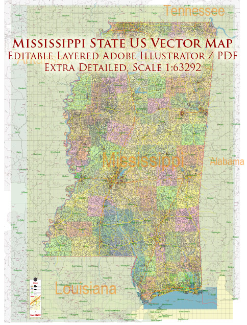
Mississippi Full State US PDF Vector Map: Full Extra High Detailed (all roads, zipcodes, airports) + Admin Areas editable Adobe PDF in layers
Layers list:
- Legend
- Grids
- Labels of roads (numbers) – highways, interstate
- All Geonames (cities, towns, villages, hamlets, islands)
- Points of the Geonames (cities, towns, villages, hamlets, islands)
- Names places: Names of all Cities, towns, villages and hamlets
- Names of the Airports and Heliports
- Points of the Airports and Heliports
- Numbers of ZIP codes
- Names of objects (water, park, hospital)
- Names of States
- Names of Counties
- Names of the Main Streets
- Major Roads and Streets – Highways
- Minor Roads and residential streets
- Railroads
- State boundaries
- Water objects (rivers, lakes, ponds, swamps, reefs)
- Waterways
- Ground objects (urban areas, parks, hospitals, etc.)
- ZIP-codes areas
- Counties areas (colored)
- States areas
- Islands
- Sea
- Background
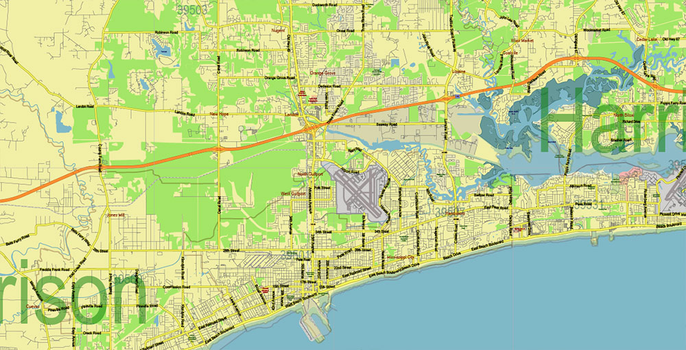
Mississippi Full State US PDF Vector Map: Full Extra High Detailed (all roads, zipcodes, airports) + Admin Areas editable Adobe PDF in layers
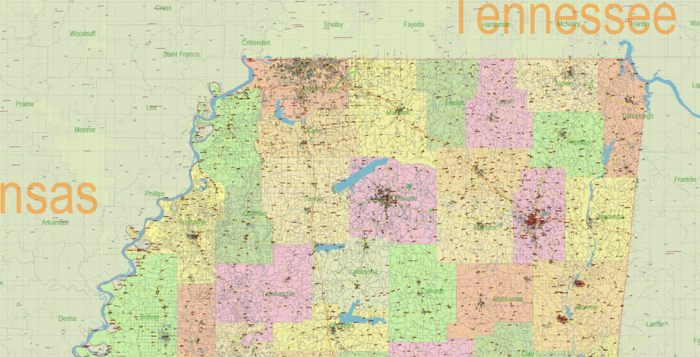
Mississippi Full State US PDF Vector Map: Full Extra High Detailed (all roads, zipcodes, airports) + Admin Areas editable Adobe PDF in layers
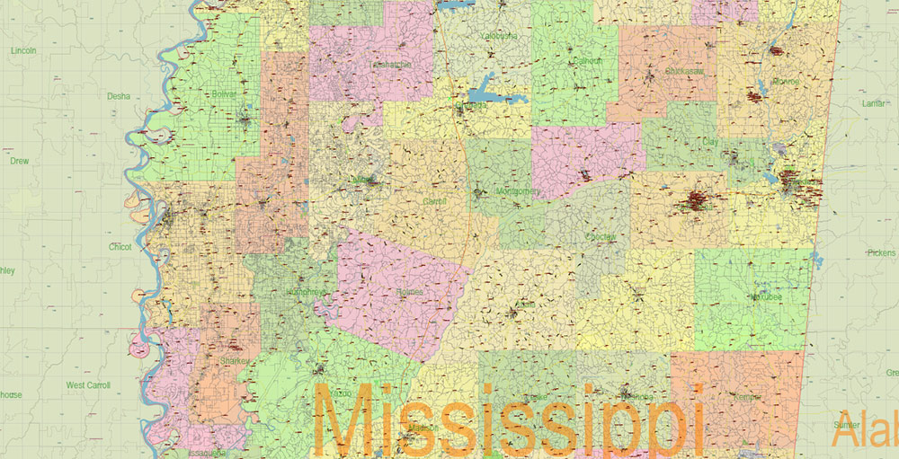
Mississippi Full State US PDF Vector Map: Full Extra High Detailed (all roads, zipcodes, airports) + Admin Areas editable Adobe PDF in layers
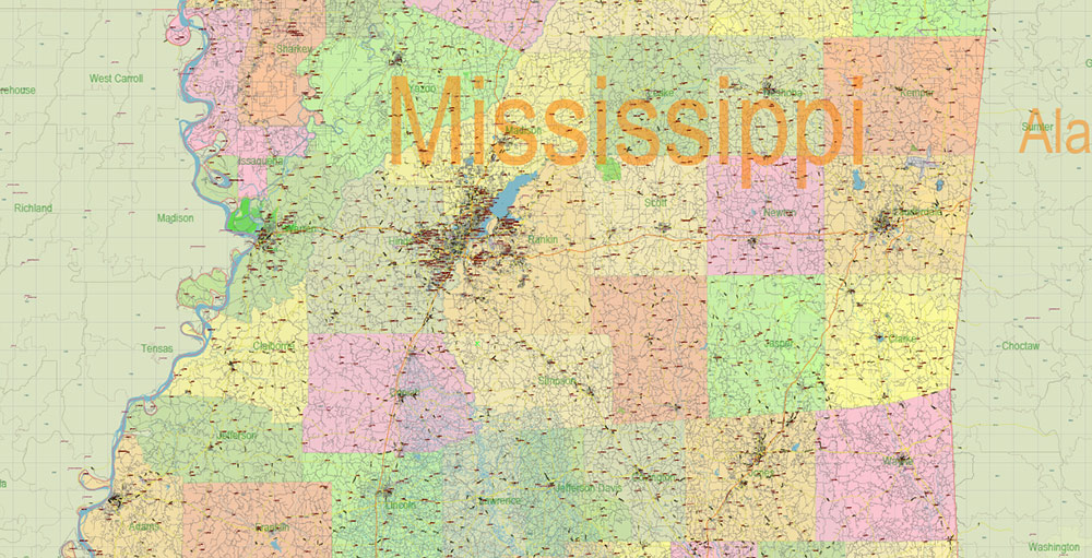
Mississippi Full State US PDF Vector Map: Full Extra High Detailed (all roads, zipcodes, airports) + Admin Areas editable Adobe PDF in layers
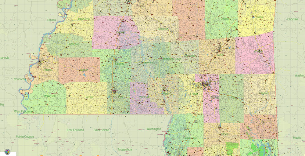
Mississippi Full State US PDF Vector Map: Full Extra High Detailed (all roads, zipcodes, airports) + Admin Areas editable Adobe PDF in layers
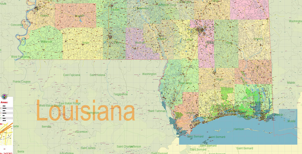
Mississippi Full State US PDF Vector Map: Full Extra High Detailed (all roads, zipcodes, airports) + Admin Areas editable Adobe PDF in layers
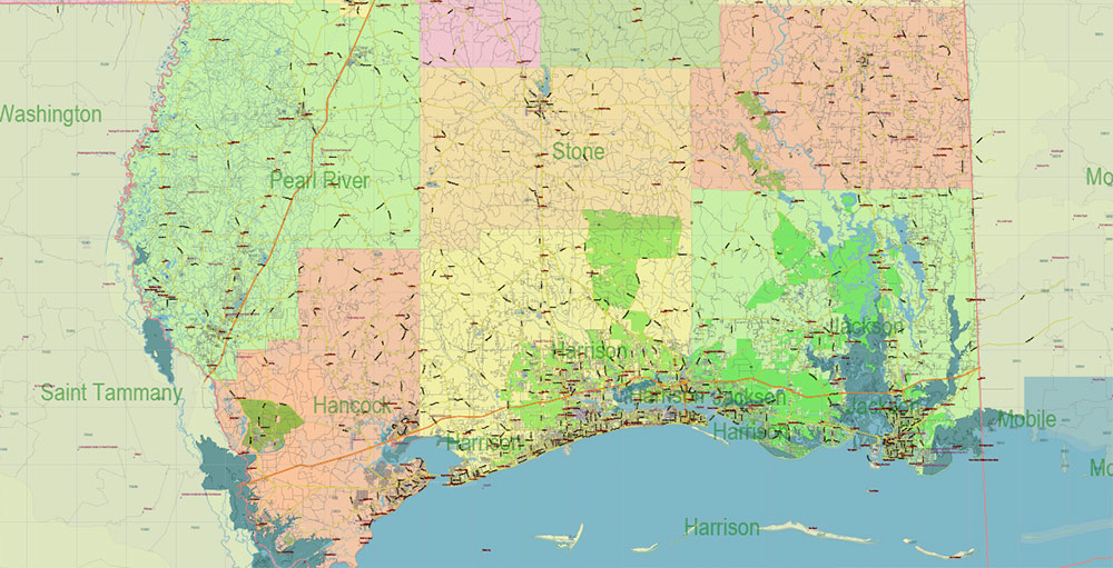
Mississippi Full State US PDF Vector Map: Full Extra High Detailed (all roads, zipcodes, airports) + Admin Areas editable Adobe PDF in layers
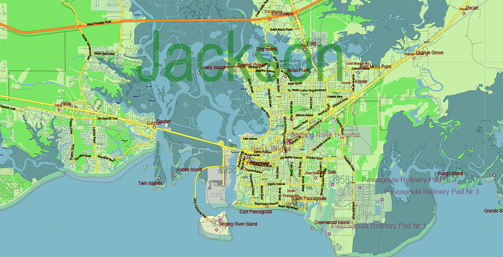
Mississippi Full State US PDF Vector Map: Full Extra High Detailed (all roads, zipcodes, airports) + Admin Areas editable Adobe PDF in layers
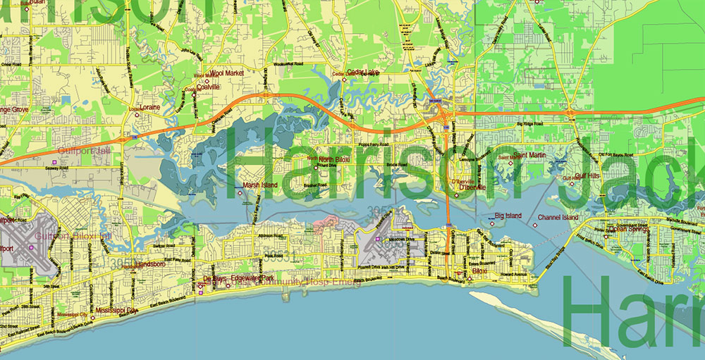
Mississippi Full State US PDF Vector Map: Full Extra High Detailed (all roads, zipcodes, airports) + Admin Areas editable Adobe PDF in layers
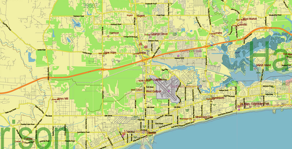
Mississippi Full State US PDF Vector Map: Full Extra High Detailed (all roads, zipcodes, airports) + Admin Areas editable Adobe PDF in layers
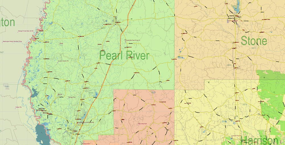
Mississippi Full State US PDF Vector Map: Full Extra High Detailed (all roads, zipcodes, airports) + Admin Areas editable Adobe PDF in layers
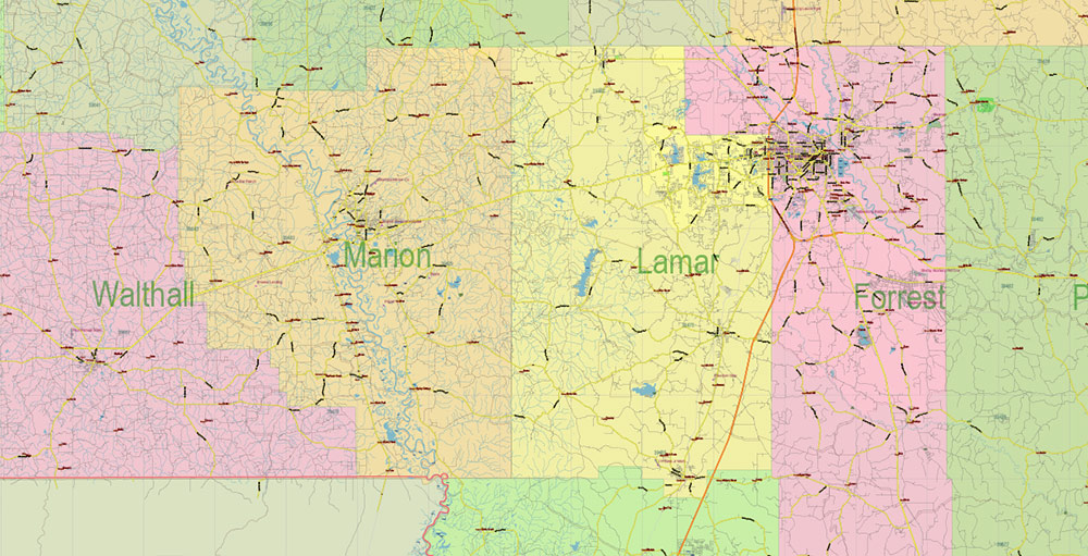
Mississippi Full State US PDF Vector Map: Full Extra High Detailed (all roads, zipcodes, airports) + Admin Areas editable Adobe PDF in layers
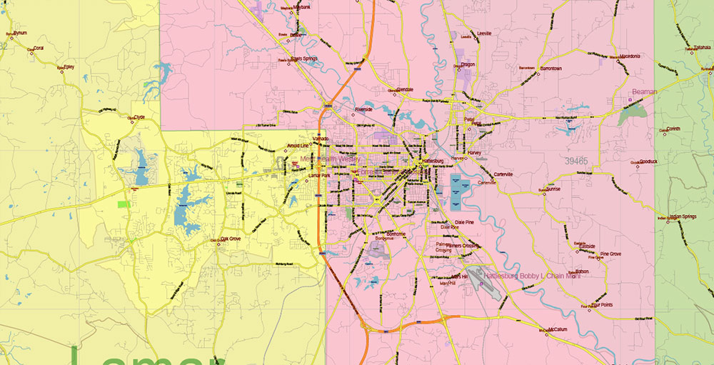
Mississippi Full State US PDF Vector Map: Full Extra High Detailed (all roads, zipcodes, airports) + Admin Areas editable Adobe PDF in layers
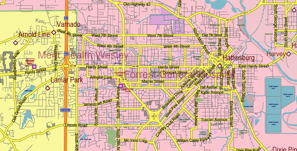
Mississippi Full State US PDF Vector Map: Full Extra High Detailed (all roads, zipcodes, airports) + Admin Areas editable Adobe PDF in layers
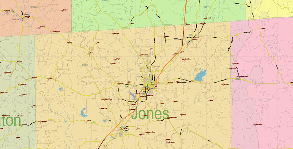
Mississippi Full State US PDF Vector Map: Full Extra High Detailed (all roads, zipcodes, airports) + Admin Areas editable Adobe PDF in layers
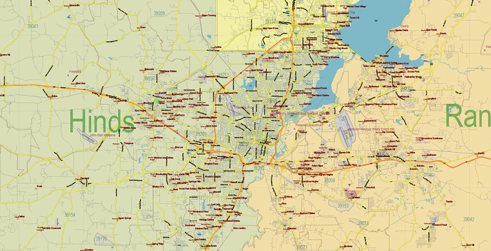
Mississippi Full State US PDF Vector Map: Full Extra High Detailed (all roads, zipcodes, airports) + Admin Areas editable Adobe PDF in layers
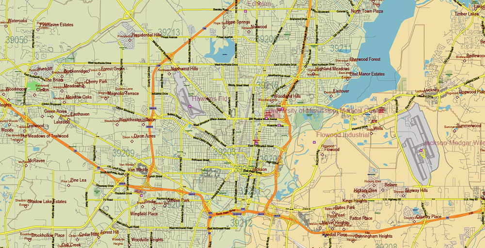
Mississippi Full State US PDF Vector Map: Full Extra High Detailed (all roads, zipcodes, airports) + Admin Areas editable Adobe PDF in layers
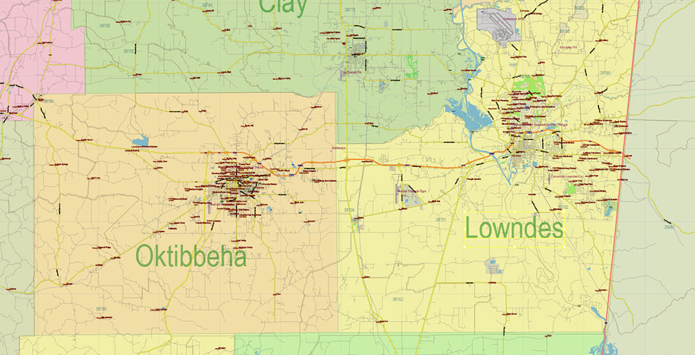
Mississippi Full State US PDF Vector Map: Full Extra High Detailed (all roads, zipcodes, airports) + Admin Areas editable Adobe PDF in layers
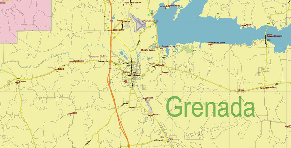
Mississippi Full State US PDF Vector Map: Full Extra High Detailed (all roads, zipcodes, airports) + Admin Areas editable Adobe PDF in layers
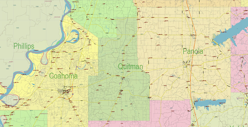
Mississippi Full State US PDF Vector Map: Full Extra High Detailed (all roads, zipcodes, airports) + Admin Areas editable Adobe PDF in layers
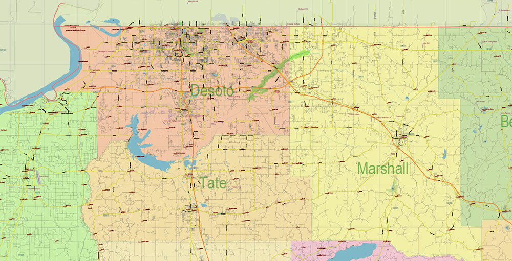
Mississippi Full State US PDF Vector Map: Full Extra High Detailed (all roads, zipcodes, airports) + Admin Areas editable Adobe PDF in layers
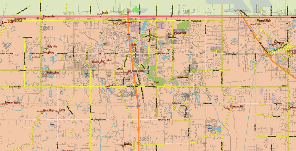
Mississippi Full State US PDF Vector Map: Full Extra High Detailed (all roads, zipcodes, airports) + Admin Areas editable Adobe PDF in layers
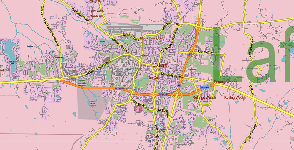
Mississippi Full State US PDF Vector Map: Full Extra High Detailed (all roads, zipcodes, airports) + Admin Areas editable Adobe PDF in layers


 Author: Kirill Shrayber, Ph.D. FRGS