About scalable Marseille (France) map in vector format (.AI)
Archive size: 120 Mb, zipped .AI
DPI: 300
License: Royalty Free
Content: Atlas map 49 parts
This detailed and layered map of Marseille (France) is compatible with all vector formats: Freehand, Corel Draw, AutoCad and other. Fully editable, you can change all names, line thickness, colors, filling, fonts or add objects needed.
We provide very precise maps of Marseille, perfect for large size printing, like office walls or billboards.
Also available in other formats at the same price: DWG, DXF AutoCAD, Corel Draw, EPS, PDF.
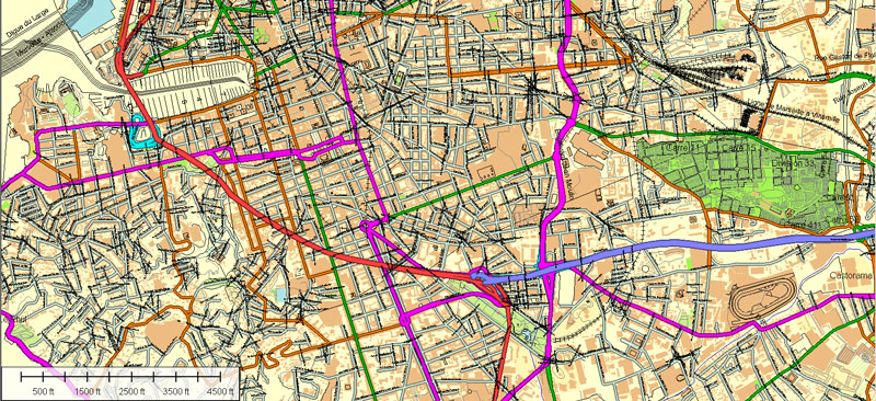
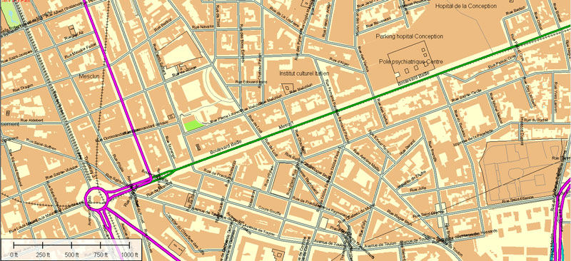
This Marseille AI vector map features:
Highways with names,
Major Roads,
National Park Borders,
Railway lines,
Minor Roads,
Private Roads,
Cemeteries,
Big and small Rivers, small streams also,
Lake, ponds and other water bodies,
Landmark fill,
Recreation zones,
County Borders with fill,
Parks.
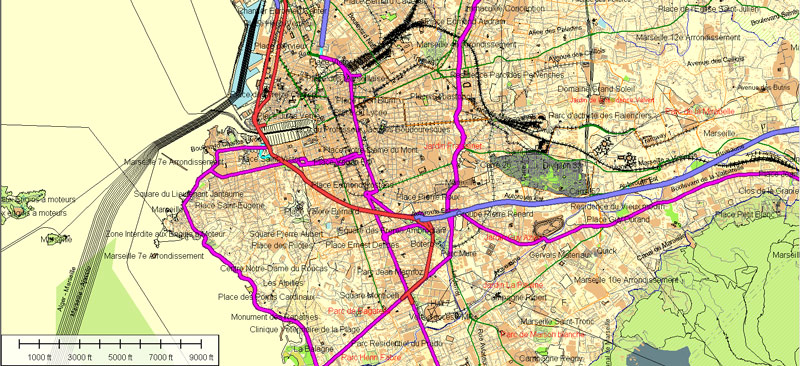
Marseille, France.
This vector map of Marseille is used as a basis for design, editing, and further printing.
This is the most detailed, exact map of Marseille for high-quality printing and polygraphy. You can always clarify the map development date by contacting us.
For your convenience, all objects on Marseille vector map are divided into layers. And the editing is very easy – colors, lines, etc.
You can easily add any objects needed (e.g. shops, salons, sale points, gas station or attraction) on any layer of Marseille vector map.
Marseille is the second-largest city of France. The main city of the historical province of Provence, today it is the capital of the department of Bouches-du-Rhône and region of Provence-Alpes-Côte d’Azur. It is located on France’s south coast near the mouth of the Rhône river. The city covers an area of 241 km2 (93 sq mi) and had a population of 852,516 in 2012. Its metropolitan area, which extends over 3,173 km2 (1,225 sq mi) is the third-largest in France after Paris and Lyon, with a population of 1,831,500 as of 2010.
One of the advantages of Marseille vector maps of our production is the relevance of cartographic data, we constantly update all our products.
This vector map of Marseille is used by:
designers, layout designers, printers, advertisers and architects. Our product – vector maps – is designed for further editing and printing in large formats – from @Wall format (a few meters) to A-0 and A-1, A-2, A-3.
Marseille map in vector format is used for design, urban planning, presentations and media visualizations.
Advertising and presentation map of Marseille (usually the final designer marks the routes, and puts the client’s objects (shops, saloons, gas stations etc.)
The undoubted advantage is that people will NEVER throw out this advertising product – the map. In fact, as an advertising medium, a map is the most “long-playing” of the well-known polygraphic advertising media, with the longest lifespan, and the maximum number of interactions with the customer.
For travelers, maps are sold at the airports and gas stations around the world. Often the source is our vector maps.
Take a look, who purchases our vector maps of Marseille in “Our Clients and Friends” page – these are large and small companies, from super-brands like Volvo and Starbucks, to small design studios and printing houses.
It’s very easy to work with vector maps of Marseille, even for a not very experienced designer who can turn on and off the map layers, add new objects, change the colors of fill and lines according to customer requirements.
The undoubted advantage of Marseille vector maps in printing is an excellent and detailed visualization, when customer can expand a large paper map and instantly define his location, find a landmark, an object or address on map, unlike using the popular electronic formats of Google and Yandex maps for example.
Printable vector maps of Marseille are much more convenient and efficient than any electronic maps on your smartphone, because ALL DETAILS are displayed in the entire space of Marseille map.
Useful tips on working with vector maps of cities and countries in Adobe Illustrator.
«V» – launches the Selection tool (cursor, black arrow), which makes active any vector line.
«А» – launches the Direct Selection tool (white cursor), allows you to select curve elements and drag them to the desired place.
«R» – activates the Rotate tool, which helps you rotating selected objects around the center point by 360 degrees.
«E» – gives you the opportunity to use the Eraser tool and erase unnecessary parts.
«X» – switches between Fill and Stroke in the Tools section. Try to get used to this hot key and
you will quickly understand that you can’t live and work without it.
Guides are not limited to vertical and horizontal in Adobe Illustrator. You can also create a diagonal guide for example. Moreover, you can turn any contours into guides. Select the outline and go to View > Guides > Make Guides (Create Guides), or simply press Cmd/Ctrl + 5. You can also turn the guides back into an editable object. Go to menu, View > Guides > Unlock Guides (Release Guides), select the guide you want to edit and select View > Guides > Release Guides (Reset Guides), or just press Cmd/Ctrl + Option / Alt + 5).
You will probably want to change the color scheme used on our Marseille vector map.
To quickly and effectively play with colors.
Of course, you can do it manually, all objects in our Marseille vector map are divided according to types and layers, and you can easily change the color gamma of vector objects in groups and layers.
But there is more effective way of working with the whole VECTOR MAP of Marseille and all layers:
The overview dialog «Edit colors»/«Repaint Graphic Object» (this dialog box name can change depending on the context):
If you have selected a part or a layer of Marseille vector map and open the dialog box by clicking the icon in the Control panel, on the Samples palette or the Color Catalog, or if you choose Edit > Edit Colors> Repaint Graphic Object, then the «Repaint Graphic Object» dialog box appears, and you get access to «Assign» and «Edit» tabs.
If a picture or a map fragment is not selected, and you open the dialog box by clicking the icon in the Control panel, on the Samples palette or in the Color Catalog, the «Edit Colors» dialog box appears and you can only access the «Edit» tab.
Regardless of the name at the top of the dialog box, the right-hand side always displays the color group of the current document, as well as two default color groups: Print Color and Grayscale. These color groups can be selected and used any time.
Create and edit color groups of Marseille vector map, and also assign colors using the «Edit Colors»/ а «Repaint Graphic Object» dialog box.
A. Creating and editing of a color group on the «Edit» tab
B. Assigning colors on the «Assign» tab
C. Select a group of colors from the «Color groups» list
The option «Repaint a graphic object» in the lower part of the dialog box allows you to preview the colors on a selected layer of Vector map, or a group of elements, and specify whether its colors will be redefined when the dialog box is closed.
The main areas of the dialog box are:
«Edit»
The «Edit» tab is designed to create a new or edit the existing color groups.
The harmony rules Menu and the Color Wheel are used to conduct experiments with color harmonies. The color wheel shows how colors are related in color harmony, and the color bars allow you to view and manipulate an individual color values. In addition, you can adjust the brightness, add and remove colors, save color groups and view colors on the selected Vector Map of Marseille or a separated layers.
«Assign»
The «Assign» tab is used to view and control on how the original colors are replaced with colors from the color group like your corporate colors in the Vector Map of Marseille.
The assign color ability is provided only if the entire map, layer or fragment is selected in the document. You can specify which of new colors replace the current colors, whether the spot colors should be preserved and how colors are replaced (for example, you can replace colors completely or changing the color tone while maintaining the brightness). The «Assign» tab allows you to redefine colors in the Vector Map of Marseille, or in separate layers and fragments using the current color group or reducing the number of colors in the current Vector Map.
Color groups
Is a list of all saved color groups for current document (the same groups appear in the «Samples» palette). You can edit and delete the existing color groups, as well as creating a new ones using the list of “Color Groups” in the dialog box. All changes appear in the «Samples» palette.
The highlighted color group shows, which color group is currently edited.
Any color group can be selected and edited, or used to redefine the colors in the selected vector map of Marseille, its fragments or elements.
Saving a color group adds this group to the specified list.
Opening the «Edit Colors»/«Repaint Graphic Object» dialog box.
Open the «Edit Colors»/«Repaint Graphic Object» dialog box using one of the following methods:
«Edit»> «Edit Colors»> «Repaint Graphic object» or «Repaint With Style».
Use these commands if you need to edit the colors in the selected vector map of Marseille.
«Repaint Graphic object» button on the «Control» panel.
Use this button if you need to adjust colors of Marseille vector map using the а «Repaint graphic object» dialog box.
The specified button is available if the selected vector map or its fragment contains two or more colors.
Note. This color editing method is convenient for global color adjustment in a vector map, if global colors were not used when creating a Map of Marseille.
The «Edit colors» button or «Edit or apply colors» on the «Color Catalog» palette
Click this button if you need to edit colors on the «Color Catalog» palette or edit and then apply them to the selected Vector Map of Marseille or its fragment.
The «Edit color group» button or «Edit or apply color group» on the «Samples» palette.
Click this button if you need to edit the colors in the specific color group or edit and apply them to the selected Vector Map of Marseille or a group of its elements, for example, the whole layer “Streets and lines”. You can also double-click the color group in the Samples panel to open the dialog box.
If the map file is too large and your computer freezes or even can’t open it quickly:
1. Try to reduce the color resolution of the video card (display) to 256 colors while working with a large map.
2. Using Windows Task Manager, select all the application you don’t need, while working with map, just turn them off.
3. Launch Adobe Illustrator. (DO NOT OPEN the vector map file)
4. Start the Windows Task Manager using administrator rights > Find the “Illustrator” process > set the «real time» priority,
5. Open the file. When you see the LEGACY FONT popup window – click “OK” (do not update). You can restore the TEXT later.
6. Can also be useful: When file is opened – Edit > Settings > Basic Settings > disable smoothing. /// It looks scary, but works quickly)))
We recommend saving the file in Adobe Illustrator 10 version. It’s much more stable when working with VERY BIG size files.
Known to the ancient Greeks and Romans as Massalia, Marseille was an important European trading centre and remains the main commercial port of the French Republic. Marseille is now France’s largest city on the Mediterranean coast and the largest port for commerce, freight and cruise ships. The city was European Capital of Culture in 2013 and European Capital of Sport in 2017; it hosted matches at the 1998 World Cup and Euro 2016. It is home to Aix-Marseille University.
Marseille is the second-largest city in France after Paris and the centre of the third-largest metropolitan area in France after Paris and Lyon. To the east, starting in the small fishing village of Callelongue on the outskirts of Marseille and stretching as far as Cassis, are the Calanques, a rugged coastal area interspersed with small fjord-like inlets. Farther east still are the Sainte-Baume (a 1,147 m (3,763 ft) mountain ridge rising from a forest of deciduous trees), the city of Toulon and the French Riviera. To the north of Marseille, beyond the low Garlaban and Etoile mountain ranges, is the 1,011 m (3,317 ft) Mont Sainte Victoire. To the west of Marseille is the former artists’ colony of l’Estaque; farther west are the Côte Bleue, the Gulf of Lion and the Camargue region in the Rhône delta. The airport lies to the north west of the city at Marignane on the Étang de Berre.
The city’s main thoroughfare (the wide boulevard called the Canebière) stretches eastward from the Old Port to the Réformés quarter. Two large forts flank the entrance to the Old Port—Fort Saint-Nicolas on the south side and Fort Saint-Jean on the north. Farther out in the Bay of Marseille is the Frioul archipelago which comprises four islands, one of which, If, is the location of Château d’If, made famous by the Dumas novel The Count of Monte Cristo. The main commercial centre of the city intersects with the Canebière at Rue St Ferréol and the Centre Bourse (one of the city’s main shopping malls). The centre of Marseille has several pedestrianised zones, most notably Rue St Ferréol, Cours Julien near the Music Conservatory, the Cours Honoré-d’Estienne-d’Orves off the Old Port and the area around the Hôtel de Ville. To the south east of central Marseille in the 6th arrondissement are the Prefecture and the monumental fountain of Place Castellane, an important bus and metro interchange. To the south west are the hills of the 7th and 8th arrondissements, dominated by the basilica of Notre-Dame de la Garde. Marseille’s main railway station—Gare de Marseille Saint-Charles—is north of the Centre Bourse in the 1st arrondissement; it is linked by the Boulevard d’Athènes to the Canebière.
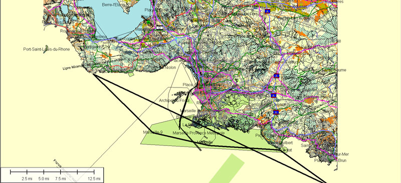
Cities and counties near or inside Marseille vectorial map, France
Our vector map of Marseille includes maps of the nearest areas (see the preview):
Cassis, Carpiagne, Les Hauts de Carnoux, Lotissement Des Jardins D`Orange, La Milliere, Vaufreges, Vallon Ricard, Crete des Escampons, Redon, 9TH ARR, Morgiou, Baumettes, Sormiou, Calanque de Callelongue, La Pouilidette, Ile Maire, Les Pharillons, Ile de Jarron, Ile de Jarre, Les Goudes, Cap Croisette, Anse de la Maronaise, Calanque des Trous, Calanque de Samena, Col des Chevres, Col de la Selle, Grand Malvallon, La Madrague, La Salette, Bonneveine, La Plage, La Panouse, Sainte-Marguerite, Camas, 6th ARR, 5th ARR, 10th ARR, La Valentine, La Tuiliere, Croix-Rouge, Les Bessons, Palama, Mourets, Le Vallon, Saint-Antoine, Les Aygalades, La Viste, L`Estaque, Les Riaux, Le Resquiadou.
Purchasing and downloading of Illustrator Marseille (France) vector map
We accept PayPal and Credit Card payment. After the payment you will be redirected to the download page. We guarantee 100% satisfaction. Royalty Free license.
Small guide: How to work with the vector map?
You can: Mass select objects by type and color – for example, the objects type “building” (they are usually dark gray) – and remove them from the map, if you do not need them in your print or design project. You can also easily change the thickness of lines (streets), just bulk selection the road by the line color.
The streets are separated by type, for example, type “residential road” are usually white with a gray stroke. Highway usually orange with a brown or dark gray stroke.
All objects are divided by types: different types of roads and streets, polygons of buildings, landfills, urban areas, parks and more other.
It is easy to change the font of inscriptions, all or each individually. Also, just can be make and any other manipulation of objects on the vector map in Adobe illustrator format.
Important: All the proportions on the map are true, that is, the relative sizes of the objects are true, because Map is based on an accurate GPS projection, and It transated into the (usual for all) the Mercator projection.
You can easily change the color, stroke and fill of any object on the map, zoom without loss of quality Image Verification.
See more Printable and Editable vector street maps of France
For example: Paris vector street map, France
Nice France Printable Vector Street city plan
Lille France Printable Vector Street map


 Author: Kirill Shrayber, Ph.D. FRGS
 map, V.14.12. fully editable, Adobe Illustrator")
