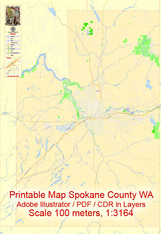
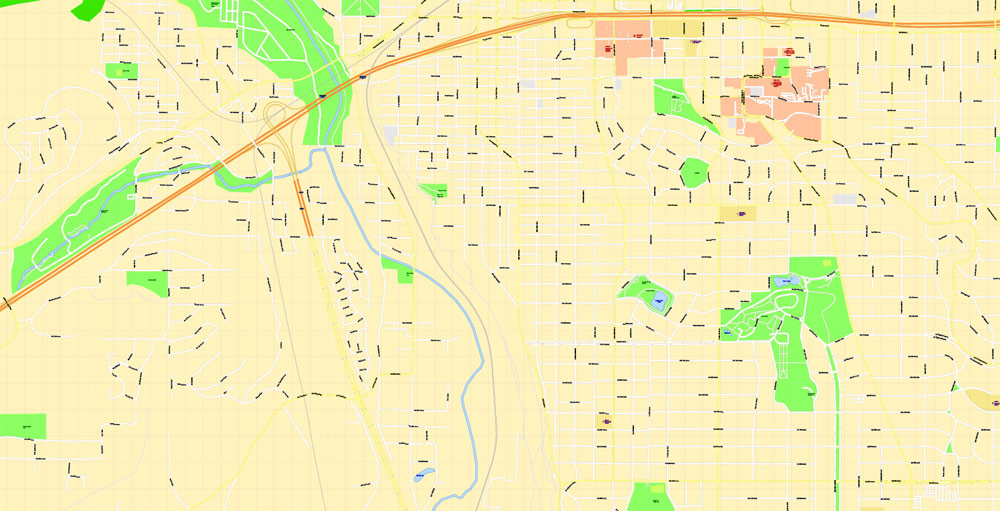
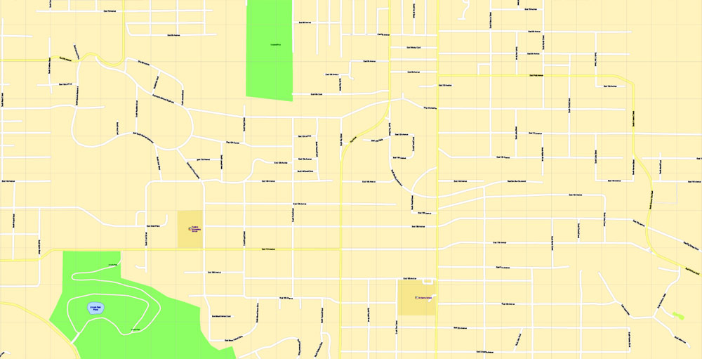
Editable Printable Map Spokane County + Spokane city, WA US, exact detailed vector Map Scale 100 meters, 1:3164, Adobe Illustrator, scalable, editable text format street names, 18 mb ZIP
All streets named, Main Objects, NO buildings. Map for design, printing, arts, projects, presentations, for architects, designers and builders, business, logistics.
Layers: back, color_fills, streets_roads, arrows_streets, labels_roads, objects, names_objects, names_streets, names_places, grids, legend.
The most exact and detailed map of the county.
DWG, DXF, CDR and other formats – on request, same price, please, contact
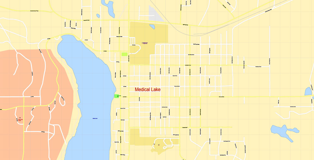
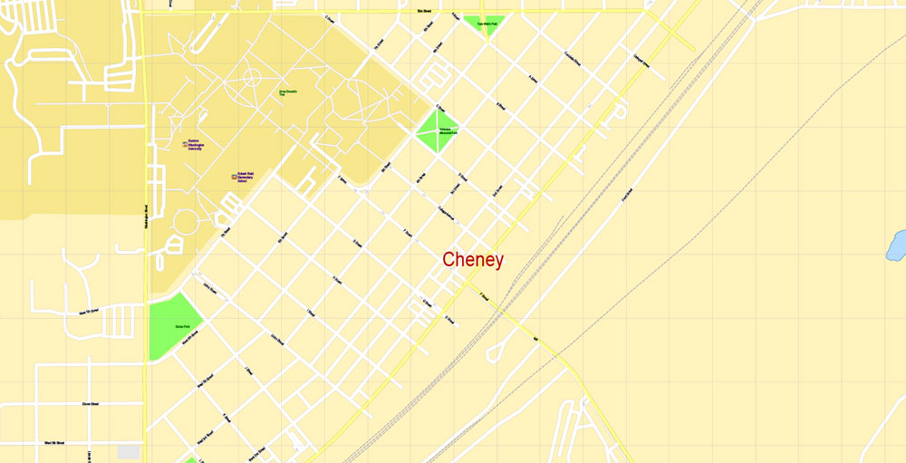
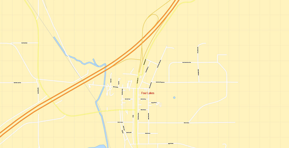
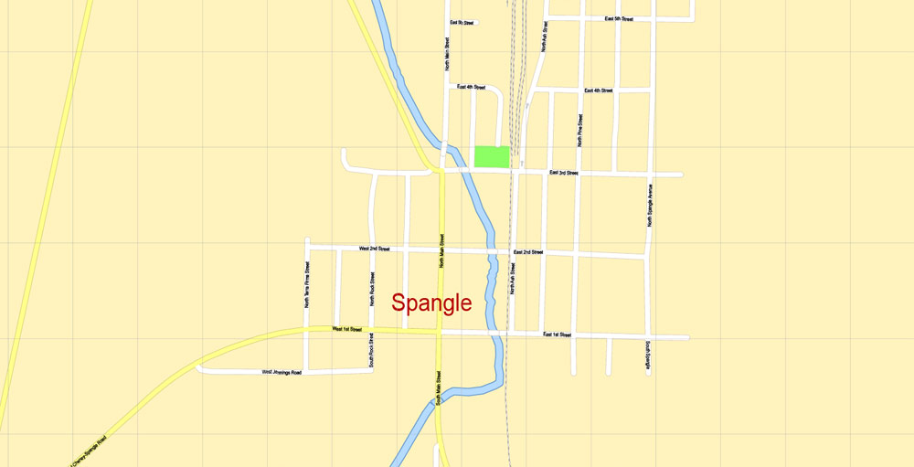
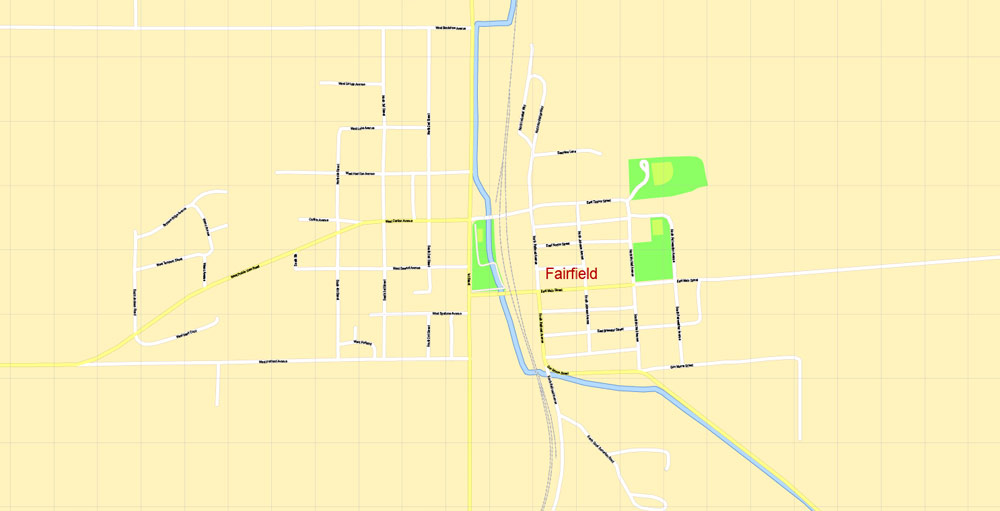
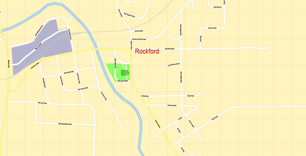
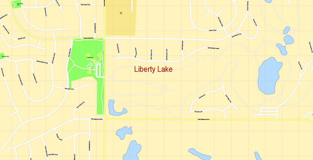
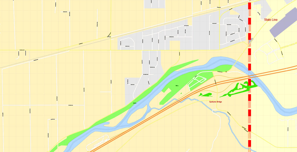
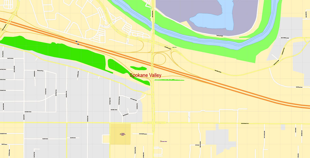
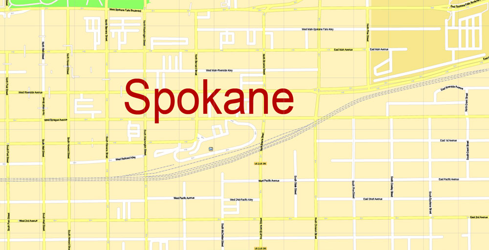
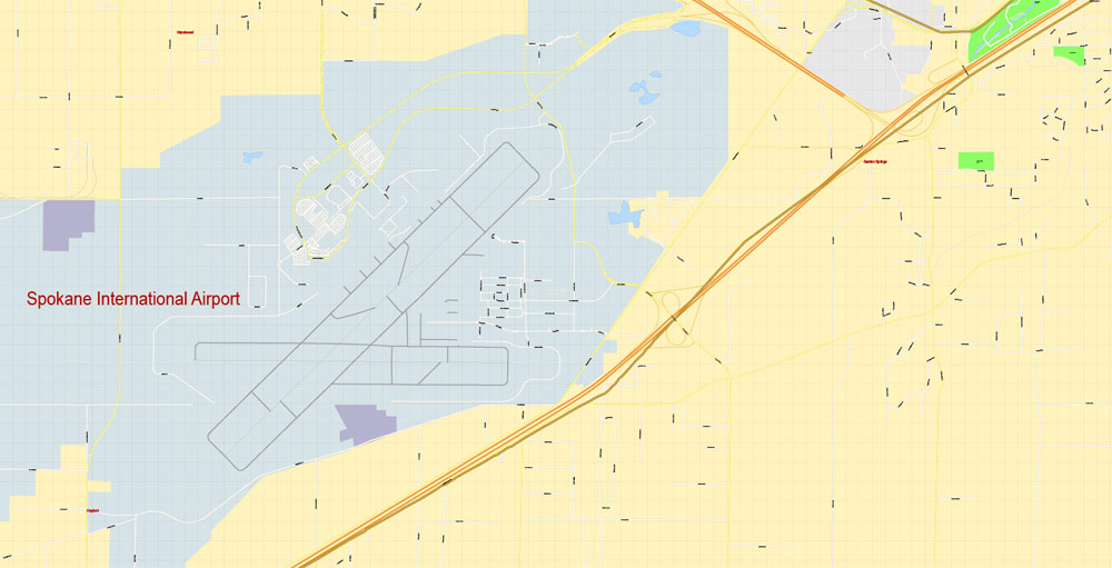
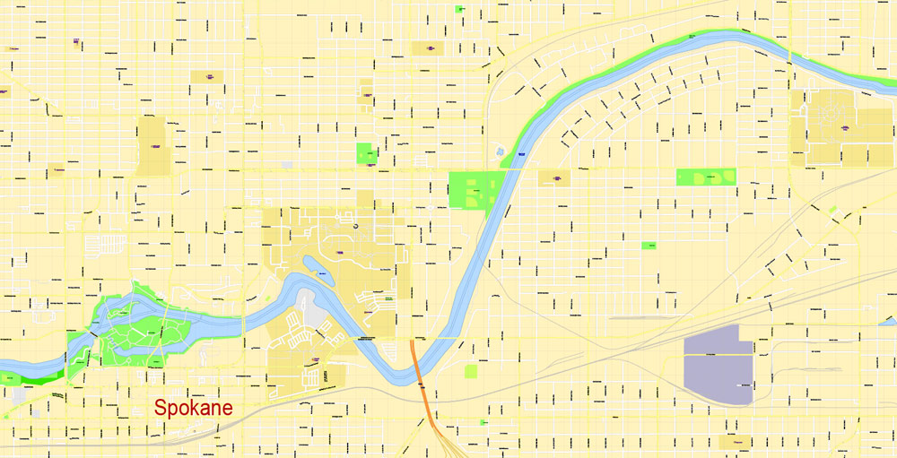
Spokane, Washington, USA.
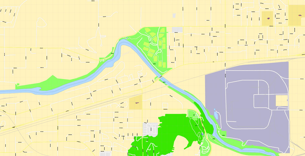
This vector map of Spokane city is used as a basis for design, editing, and further printing.
This is the most detailed, exact map of Spokane city for high-quality printing and polygraphy. You can always clarify the map development date by contacting us.
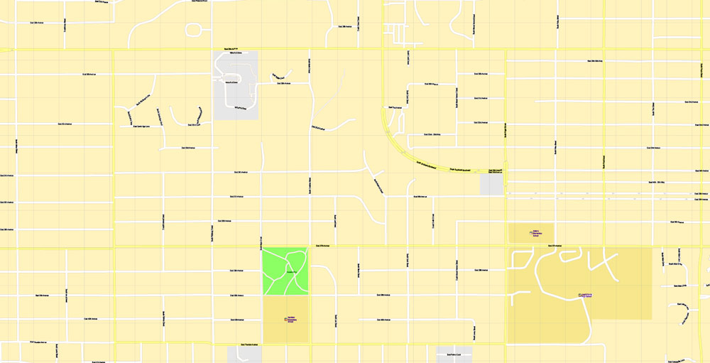
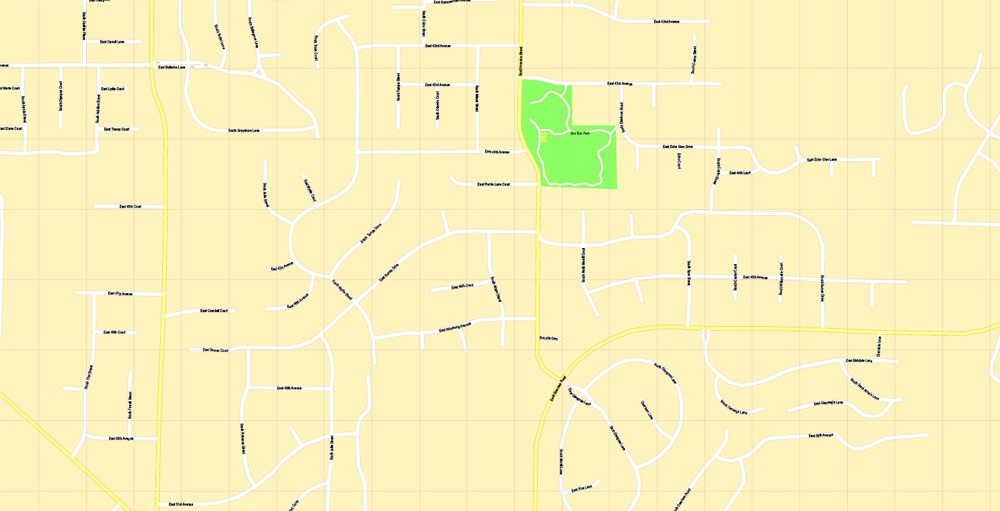
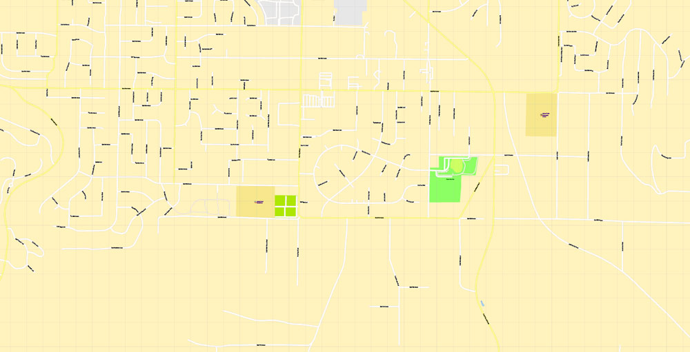
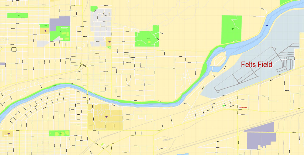
For your convenience, all objects on Spokane vector city map are divided into layers. And the editing is very easy – colors, lines, etc.
You can easily add any objects needed (e.g. shops, salons, sale points, gas station or attraction) on any layer of Spokane vector map.
Spokane is a city in the state of Washington in the northwestern United States. It is located on the Spokane River west of the Rocky Mountain foothills in eastern Washington, 92 miles (148 km) south of the Canada–US border, 18 miles (30 km) from the Washington–Idaho border, and 228 miles (367 km) east of Seattle along Interstate 90.
Known as the birthplace of Father’s Day, Spokane’s official nickname is the “Lilac City”. A pink, double flower lilac variety known as ‘Syringa Spokane’ is named for the city. It is the seat of Spokane County and the economic and cultural center of the Spokane Metropolitan Area, the Spokane–Coeur d’Alene combined statistical area, and the Inland Northwest. The city, along with the whole Inland Northwest, is served by Spokane International Airport, 5 miles (8 km) west of downtown Spokane. According to the 2010 Census, Spokane had a population of 208,916, making it the second-largest city in Washington, and the 101st-largest city in the United States.
One of the advantages of Spokane city vector maps of our production is the relevance of cartographic data, we constantly update all our products.
This vector map of Spokane city is used by:
designers, layout designers, printers, advertisers and architects. Our product – vector maps – is designed for further editing and printing in large formats – from @Wall format (a few meters) to A-0 and A-1, A-2, A-3.
The Spokane city map in vector format is used for design, urban planning, presentations and media visualizations.
The advertising and presentation map of Spokane city (usually the final designer marks the routes, and puts the client’s objects (shops, saloons, gas stations etc.)
The undoubted advantage is that people will NEVER throw out this advertising product – the map. In fact, as an advertising medium, a city map is the most “long-playing” of the well-known polygraphic advertising media, with the longest lifespan, and the maximum number of interactions with the customer.
For travelers, maps are sold at the airports and gas stations around the world. Often the source is our vector maps.
Take a look, who purchases our vector maps of Spokane city in “Our Clients and Friends” page – these are large and small companies, from super-brands like Volvo and Starbucks, to small design studios and printing houses.
It’s very easy to work with vector maps of Spokane city, even for a not very experienced designer who can turn on and off the map layers, add new objects, change the colors of fill and lines according to customer requirements.
The undoubted advantage of Spokane city vector maps in printing is an excellent and detailed visualization, when customer can expand a large paper map and instantly define his location, find a landmark, an object or address on map, unlike using the popular electronic formats of Google and Yandex maps for example.
Printable vector maps of Spokane city are much more convenient and efficient than any electronic maps on your smartphone, because ALL DETAILS are displayed in the entire space of Spokane city map.
Useful tips on working with vector maps of cities and countries in Adobe Illustrator.
«V» – launches the Selection tool (cursor, black arrow), which makes active any vector line.
«А» – launches the Direct Selection tool (white cursor), allows you to select curve elements and drag them to the desired place.
«R» – activates the Rotate tool, which helps you rotating selected objects around the center point by 360 degrees.
«E» – gives you the opportunity to use the Eraser tool and erase unnecessary parts.
«X» – switches between Fill and Stroke in the Tools section. Try to get used to this hot key and
you will quickly understand that you can’t live and work without it.
Guides are not limited to vertical and horizontal in Adobe Illustrator. You can also create a diagonal guide for example. Moreover, you can turn any contours into guides. Select the outline and go to View > Guides > Make Guides (Create Guides), or simply press Cmd/Ctrl + 5. You can also turn the guides back into an editable object. Go to menu, View > Guides > Unlock Guides (Release Guides), select the guide you want to edit and select View > Guides > Release Guides (Reset Guides), or just press Cmd/Ctrl + Option / Alt + 5).
You will probably want to change the color scheme used on our Spokane vector city map.
To quickly and effectively play with colors.
Of course, you can do it manually, all objects in our Spokane city vector map are divided according to types and layers, and you can easily change the color gamma of vector objects in groups and layers.
But there is more effective way of working with the whole VECTOR MAP of Spokane city and all layers:
The overview dialog «Edit colors»/«Repaint Graphic Object» (this dialog box name can change depending on the context):
If you have selected a part or a layer of Spokane city vector map and open the dialog box by clicking the icon in the Control panel, on the Samples palette or the Color Catalog, or if you choose Edit > Edit Colors> Repaint Graphic Object, then the «Repaint Graphic Object» dialog box appears, and you get access to «Assign» and «Edit» tabs.
The first people to live in the area, the Spokane tribe (their name meaning “children of the sun” in Salishan), lived off plentiful game. David Thompson explored the area with the westward expansion and establishment of the North West Company’s Spokane House in 1810. This trading post was the first long-term European settlement in Washington. Completion of the Northern Pacific Railway in 1881 brought settlers to the Spokane area. The same year it was officially incorporated as a city with the name of Spokane Falls (it was reincorporated under its current name ten years later). In the late 19th century, gold and silver were discovered in the Inland Northwest. The local economy depended on mining, timber, and agriculture until the 1980s. Spokane hosted the first environmentally themed World’s Fair at Expo ’74.
If a picture or a map fragment is not selected, and you open the dialog box by clicking the icon in the Control panel, on the Samples palette or in the Color Catalog, the «Edit Colors» dialog box appears and you can only access the «Edit» tab.
Regardless of the name at the top of the dialog box, the right-hand side always displays the color group of the current document, as well as two default color groups: Print Color and Grayscale. These color groups can be selected and used any time.
Create and edit color groups of Spokane city vector map, and also assign colors using the «Edit Colors»/ а «Repaint Graphic Object» dialog box.
A. Creating and editing of a color group on the «Edit» tab
B. Assigning colors on the «Assign» tab
C. Select a group of colors from the «Color groups» list
The option «Repaint a graphic object» in the lower part of the dialog box allows you to preview the colors on a selected layer of Vector map, or a group of elements, and specify whether its colors will be redefined when the dialog box is closed.
The main areas of the dialog box are:
«Edit»
The «Edit» tab is designed to create a new or edit the existing color groups.
The harmony rules Menu and the Color Wheel are used to conduct experiments with color harmonies. The color wheel shows how colors are related in color harmony, and the color bars allow you to view and manipulate an individual color values. In addition, you can adjust the brightness, add and remove colors, save color groups and view colors on the selected Vector Map of Spokane city or a separated layers.
«Assign»
The «Assign» tab is used to view and control on how the original colors are replaced with colors from the color group like your corporate colors in the Vector Map of Spokane city.
The assign color ability is provided only if the entire map, layer or fragment is selected in the document. You can specify which of new colors replace the current colors, whether the spot colors should be preserved and how colors are replaced (for example, you can replace colors completely or changing the color tone while maintaining the brightness). The «Assign» tab allows you to redefine colors in the Vector Map of Spokane city, or in separate layers and fragments using the current color group or reducing the number of colors in the current Vector Map.
Color groups
Is a list of all saved color groups for current document (the same groups appear in the «Samples» palette). You can edit and delete the existing color groups, as well as creating a new ones using the list of “Color Groups” in the dialog box. All changes appear in the «Samples» palette.
The highlighted color group shows, which color group is currently edited.
Any color group can be selected and edited, or used to redefine the colors in the selected vector map of Spokane city, its fragments or elements.
Saving a color group adds this group to the specified list.
Opening the «Edit Colors»/«Repaint Graphic Object» dialog box.
Open the «Edit Colors»/«Repaint Graphic Object» dialog box using one of the following methods:
«Edit»> «Edit Colors»> «Repaint Graphic object» or «Repaint With Style».
Use these commands if you need to edit the colors in the selected vector map of Spokane city.
«Repaint Graphic object» button on the «Control» panel.
Use this button if you need to adjust colors of Spokane city vector map using the а «Repaint graphic object» dialog box.
The specified button is available if the selected vector map or its fragment contains two or more colors.
Note. This color editing method is convenient for global color adjustment in a vector map, if global colors were not used when creating a City Map of Spokane.
The «Edit colors» button or «Edit or apply colors» on the «Color Catalog» palette
Click this button if you need to edit colors on the «Color Catalog» palette or edit and then apply them to the selected Vector Map of Spokane city or its fragment.
Many of the downtown area’s older Romanesque Revival-style buildings were designed by architect Kirtland Kelsey Cutter after the Great Fire of 1889. The city also features Riverfront and Manito parks, the Smithsonian-affiliated Northwest Museum of Arts and Culture, the Davenport Hotel, and the Fox and Bing Crosby theaters.
The «Edit color group» button or «Edit or apply color group» on the «Samples» palette.
Click this button if you need to edit the colors in the specific color group or edit and apply them to the selected Vector Map of Spokane city or a group of its elements, for example, the whole layer “Streets and lines”. You can also double-click the color group in the Samples panel to open the dialog box.
If the map file is too large and your computer freezes or even can’t open it quickly:
1. Try to reduce the color resolution of the video card (display) to 256 colors while working with a large map.
2. Using Windows Task Manager, select all the application you don’t need, while working with map, just turn them off.
3. Launch Adobe Illustrator. (DO NOT OPEN the vector map file)
4. Start the Windows Task Manager using administrator rights > Find the “Illustrator” process > set the «real time» priority,
5. Open the file. When you see the LEGACY FONT popup window – click “OK” (do not update). You can restore the TEXT later.
6. Can also be useful: When file is opened – Edit > Settings > Basic Settings > disable smoothing. /// It looks scary, but works quickly)))
We recommend saving the file in Adobe Illustrator 10 version. It’s much more stable when working with VERY BIG size files.
The Cathedral of Our Lady of Lourdes is the seat of the Roman Catholic Diocese of Spokane, and the city is also the center of the Mormon Spokane Washington Temple District. The Cathedral of St. John the Evangelist represents the Anglican community. Gonzaga University was established in 1887 by the Jesuits, and the private Presbyterian Whitworth University was founded three years later and moved to north Spokane in 1914
In sports, the Gonzaga Bulldogs collegiate basketball team competes at the Division I level. Professional and semi-professional sports teams include the Spokane Indians in Minor League Baseball and Spokane Chiefs in junior ice hockey. As of 2010, Spokane’s only major daily newspaper, The Spokesman-Review, had a daily circulation of over 76,000.
Topography
Spokane is on the Spokane River in eastern Washington at an elevation of 1,843 feet (562 m) above sea level, about 18 miles (29 km) from Idaho, 92 miles (148 km) south of the Canada–US border, 228 miles (367 km) due east of Seattle, and 279 miles (449 km) southwest of Calgary. The lowest elevation in the city of Spokane is the northernmost point of the Spokane River within city limits (in Riverside State Park) at 1,608 feet (490 m); the highest elevation is on the northeast side, near the community of Hillyard (though closer to Beacon Hill and the North Hill Reservoir) at 2,591 feet (790 m). Spokane is part of the Inland Northwest region, consisting of eastern Washington, northern Idaho, northwestern Montana, and northeastern Oregon. The city has a total area of 60.02 square miles (155.45 km2), of which 59.25 square miles (153.46 km2) is land and 0.77 square miles (1.99 km2) is water.
Spokane lies in the Northern Rockies ecoregion near the eastern edge of the basaltic Channeled Scablands steppe, a plain that eventually rises sharply to the east towards the rugged, timbered Rocky Mountain foothills, the Selkirk Mountains. It is in a transition area between the barren landscape of the Columbia Basin and the coniferous forests to the east; to the south are the lush prairies and rolling hills of the Palouse.
The highest peak in Spokane County is Mount Spokane, at an elevation of 5,883 feet (1,793 m), on the eastern side of the Selkirk Mountains. The Spokane River is the area’s most prominent water feature, a 111-mile (179 km) tributary of the Columbia River, originating from Lake Coeur d’Alene in northern Idaho. The river flows west across the Washington state line through downtown Spokane, meeting Latah Creek, then turns to the northwest, where it is joined by the Little Spokane River on its way to the Columbia River, north of Davenport. The Channeled Scablands and many of the area’s numerous large lakes, such as Lake Coeur d’Alene and Lake Pend Oreille, were formed by the Missoula Floods after the ice-dammed Glacial Lake Missoula ruptured at the end of the last ice age. The Turnbull National Wildlife Refuge south of Cheney is the closest natural reserve, the closest National Forest is the Colville National Forest, the closest National Recreation Area is the Lake Roosevelt National Recreation Area and the closest national park is Mount Rainier National Park, approximately a four-and-a-half hour drive from Spokane.

Spokane
City in Washington
Spokane is a city in eastern Washington state. It’s home to the Northwest Museum of Arts and Culture, which explores the region’s history through exhibits on art, culture and Native American heritage. Next door, Tudor-style Campbell House dates from the early 1900s. Vast Riverfront Park, site of the 1974 World’s Fair, has a sculpture walk. In the park, a cable car offers views over tumbling Spokane Falls.
Area
• City 60.02 sq mi (155.45 km2)
• Land 59.25 sq mi (153.46 km2)
• Water 0.77 sq mi (1.99 km2) 1.28%
Elevation 1,843 ft (562 m)
Population metro
• City 208,916
• Estimate 215,973
• Rank US: 101st
• Density 3,526.0/sq mi (1,361.4/km2)
• Urban 486,225 (US: 82nd)
• Metro 556,634 (US: 98th)
• CSA 710,945 (US: 69th)
Spokane County
Spokane County is a county located in the U.S. state of Washington. As of the 2010 census the population was 471,221, making it the fourth-most populous county in Washington state. The largest city and county seat is Spokane,[3] the second largest city in the state, behind Seattle.
Area
• Total 1,781 sq mi (4,613 km2)
• Land 1,764 sq mi (4,569 km2)
• Water 17 sq mi (44 km2), 0.9%
Population (est.)
• 499,072
• Density 275/sq mi (106/km²)
Free download maps:

Free Download Vector Map US County and State Adobe Illustrator
Free_Vector_Map_US_States_County_Map.ai
Free Download Vector Map US County and State Adobe PDF
Free_Vector_Map_US_States_County_Map.pdf

Free Download Vector Map US With States Names, Adobe Illustrator
Free_Map_of_USA_with_state_names_en.ai
Free Download Vector Map US With States Names, Adobe PDF
Free_Map_of_USA_with_state_names_en.pdf
From WIKI
Free vector map World, Adobe Illustrator, download now maps vector clipart
Map for design, projects, presentation free to use as you like.
See also: TERMS & CONDITIONS: SOFTWARE LICENSE AGREEMENT FOR DIGITAL CARTOGRAPHIC DATA.
Need more USA Vector Maps, printable and editable?

 Author: Kirill Shrayber, Ph.D. FRGS

