Extended Description of the Vector Map
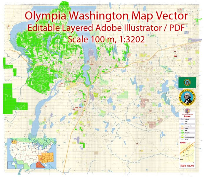
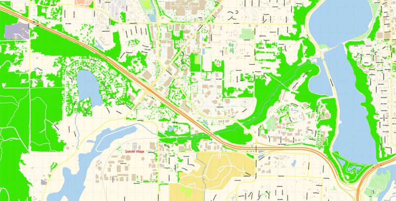
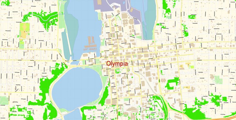
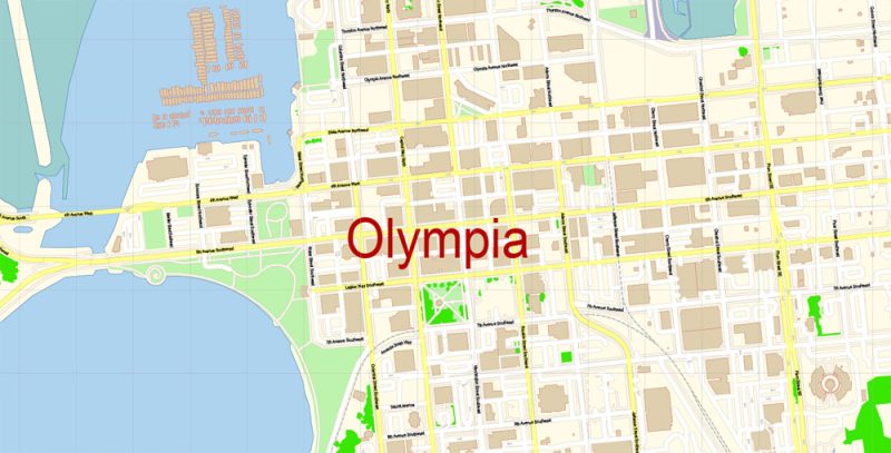
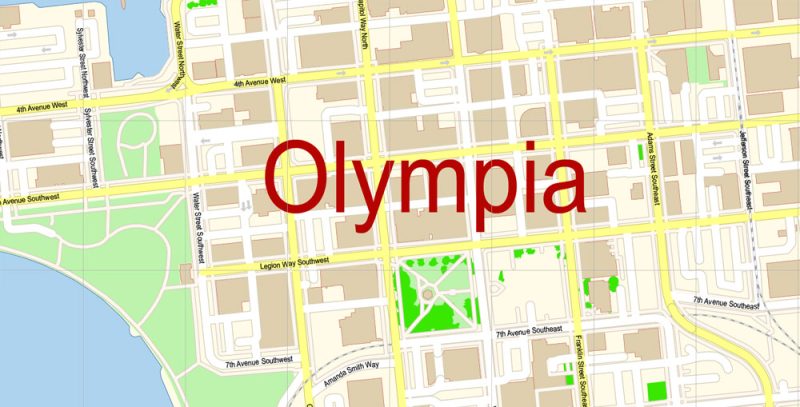
Printable PDF Vector Map of Olympia Washington US detailed City Plan scale 100 m 1:3202 full editable Adobe PDF Street Map in layers, scalable, text format all names, 21 MB ZIP
All street names, Main Objects, Principal Buildings. Map for design, printing, arts, projects, presentations, for architects, designers, and builders, business, logistics.
Layers: color_fills, water, streets_roads, labels_roads, names_objects, names_streets, names_places, arrows_streets, buildings, grids, legend, etc.
The most exact and detailed map of the city in scale.
For Editing and High-Quality Printing
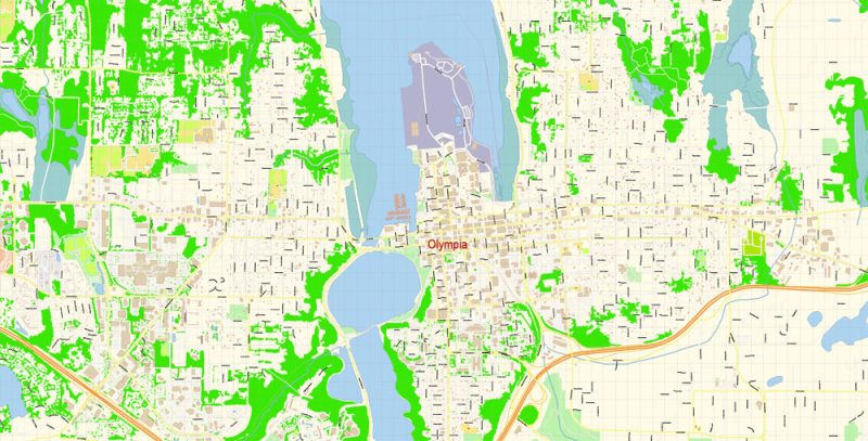
Olympia
City in Washington
Olympia, the capital of Washington state, is at the southern end of Puget Sound. The sprawling Washington State Capitol Campus, beside Capitol Lake, includes the stately Legislative Building and the 1909 Governor’s Mansion. On the downtown waterfront, Percival Landing Park has a boardwalk and public art. More than 200 bird species visit the estuary habitat of the Billy Frank Jr. Nisqually National Wildlife Refuge.
Elevation: 29 m
Area: 52.03 km²
Population: 51,609
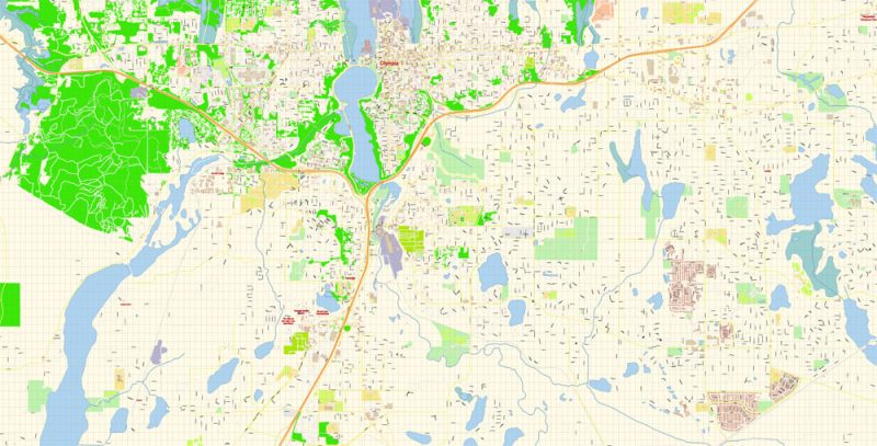
Olympia Washington PDF Map Vector Exact City Plan detailed Street Map Adobe PDF in layers
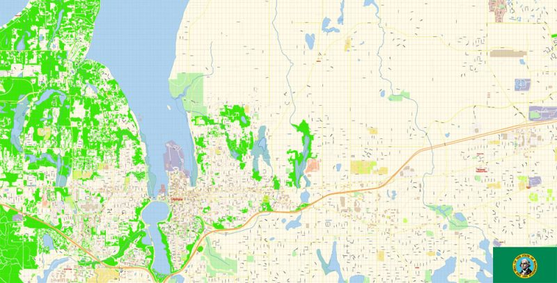
Olympia Washington PDF Map Vector Exact City Plan detailed Street Map Adobe PDF in layers
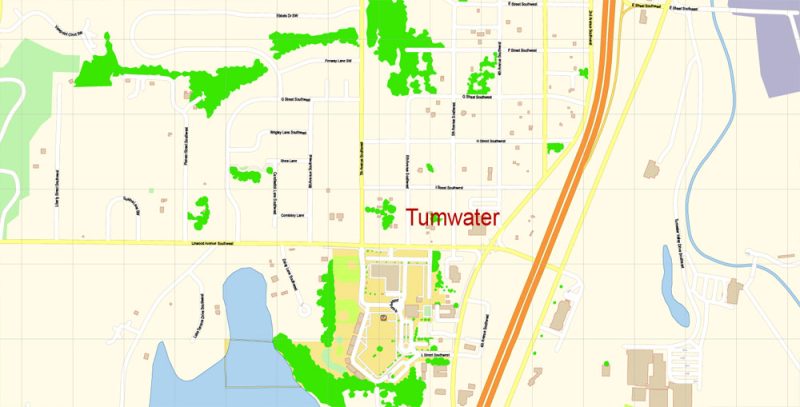
Olympia Washington PDF Map Vector Exact City Plan detailed Street Map Adobe PDF in layers
Olympia Washington PDF Map Vector Exact City Plan detailed Street Map Adobe PDF in layers
Olympia Washington PDF Map Vector Exact City Plan detailed Street Map Adobe PDF in layers
Olympia Washington PDF Map Vector Exact City Plan detailed Street Map Adobe PDF in layers
Olympia Washington PDF Map Vector Exact City Plan detailed Street Map Adobe PDF in layers
Olympia Washington PDF Map Vector Exact City Plan detailed Street Map Adobe PDF in layers
Olympia Washington PDF Map Vector Exact City Plan detailed Street Map Adobe PDF in layers


 Author: Kirill Shrayber, Ph.D. FRGS


