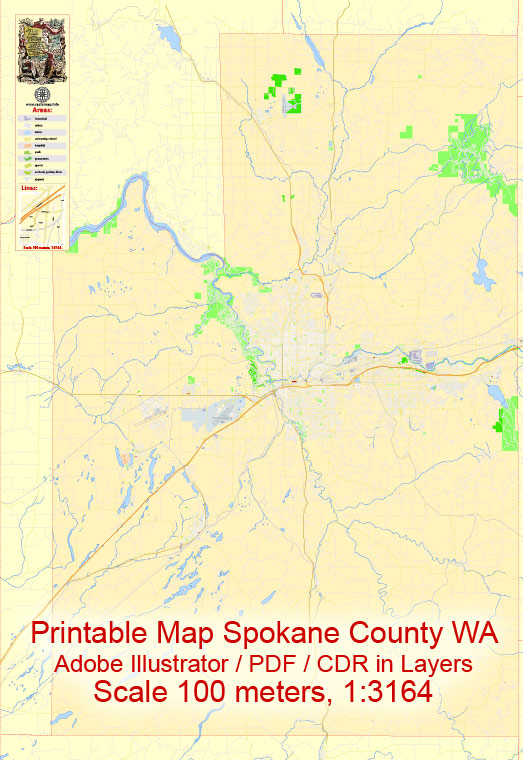
A general overview of Spokane County and Spokane City in Washington, USA.
Vectormap.Net provide you with the most accurate and up-to-date vector maps in Adobe Illustrator, PDF and other formats, designed for editing and printing. Please read the vector map descriptions carefully.
Spokane County:
1. Spokane Valley:
- Spokane Valley is a city in Spokane County, located to the east of Spokane.
- It has various neighborhoods and communities, including Greenacres, Liberty Lake, and Millwood.
- Notable attractions include the Spokane Valley Mall and Mirabeau Point Park.
2. Liberty Lake:
- A suburb of Spokane located near the Idaho state line.
- The town surrounds the scenic Liberty Lake and offers outdoor recreational opportunities.
3. Deer Park:
- A small town north of Spokane, known for its rural atmosphere and proximity to outdoor activities.
4. Medical Lake:
- Located to the west of Spokane, known for the nearby Medical Lake and Waterfront Park.
Spokane City:
1. Downtown Spokane:
- The central business district with a mix of commercial, residential, and cultural amenities.
- Notable attractions include Riverfront Park, the Spokane Convention Center, and the historic Davenport Hotel.
2. South Hill:
- A residential area south of downtown Spokane with diverse neighborhoods.
- Manito Park, with its beautiful gardens, is a prominent feature of South Hill.
3. Browne’s Addition:
- A historic neighborhood west of downtown known for its well-preserved late 19th and early 20th-century architecture.
4. North Spokane:
- Comprising neighborhoods like Wandermere and Five Mile Prairie, this area is north of downtown.
- Gonzaga University, a private Catholic university, is located in this part of Spokane.
5. West Central:
- A diverse neighborhood located to the northwest of downtown Spokane.
- Includes the Kendall Yards development, a mixed-use urban district with shops and restaurants.
Main Streets and Roads:
1. Division Street:
- One of the main north-south thoroughfares in Spokane, running through the heart of the city.
2. Interstate 90 (I-90):
- A major east-west freeway that passes through Spokane, connecting the city to Seattle and points east.
3. U.S. Route 2:
- An east-west highway that passes through Spokane, providing connections to cities like Seattle and Sandpoint, Idaho.
4. Maple Street and Monroe Street:
- Important north-south streets in Spokane, providing access to various neighborhoods and commercial areas.
Please note that the development and infrastructure of cities can change over time, so it’s recommended to check with local sources or city planning departments for the most up-to-date information.


 Author: Kirill Shrayber, Ph.D.