Extended Description of the Vector Map
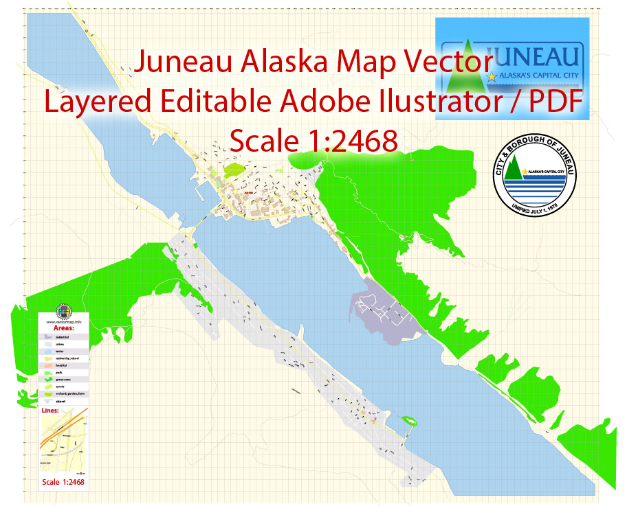
Printable Vector Map of Juneau Alaska US detailed City Plan scale 1:2468 full editable Adobe Illustrator Street Map in layers, scalable, text format all names, 1 MB ZIP
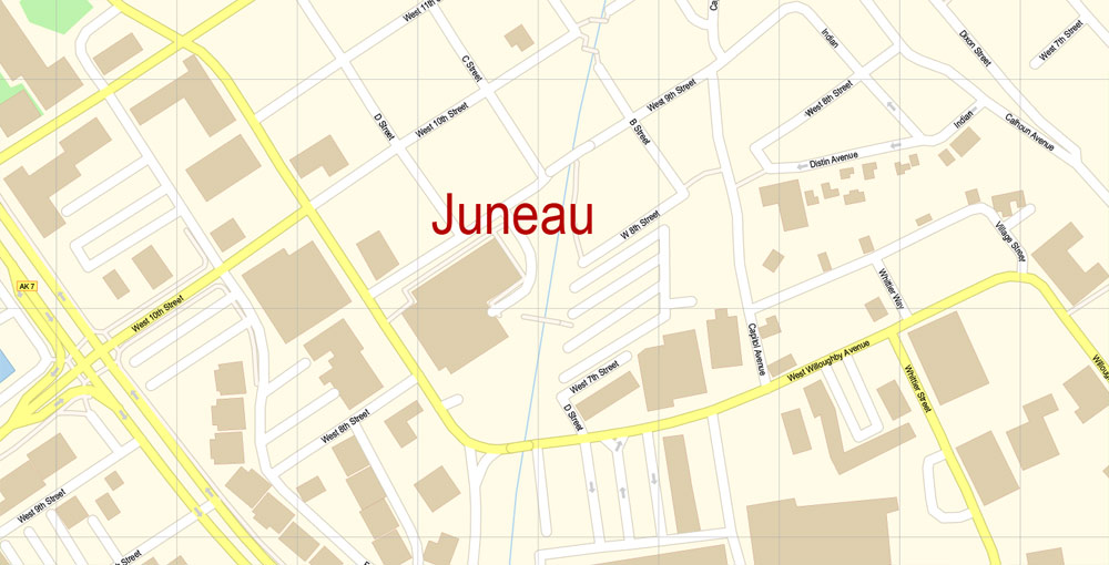
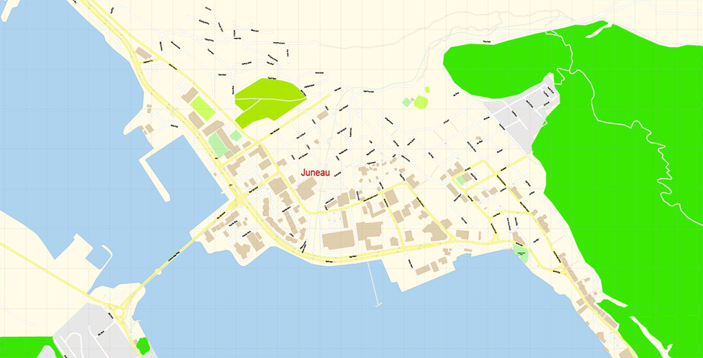
All street names, Main Objects, Buildings. Map for design, printing, arts, projects, presentations, for architects, designers, and builders, business, logistics.
Layers: color_fills, water, streets_roads, labels_roads, names_objects, names_streets, names_places, arrows_streets, buildings, grids, legend, etc.
The most exact and detailed map of the city in scale.
For Editing and High-Quality Printing
Juneau
City in Alaska
The City and Borough of Juneau, commonly known as Juneau, is the capital city of Alaska. It is a unified municipality on the Gastineau Channel in the Alaskan panhandle, and it is the second largest city in the United States by area. Wikipedia
Elevation: 17 m
Area: 8,430 km²
Population: 32,164
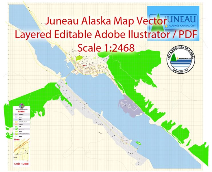
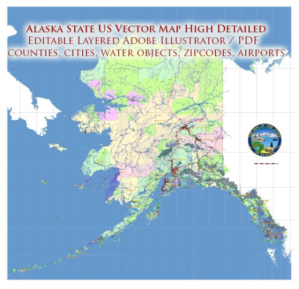
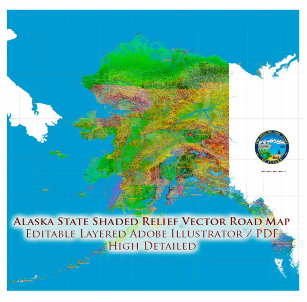
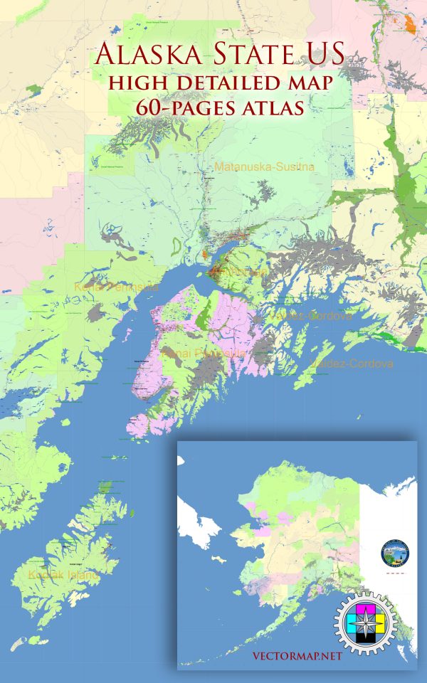
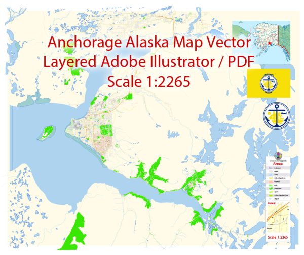
Juneau Map Vector Alaska Exact City Plan detailed Street Map editable Adobe Illustrator in layers
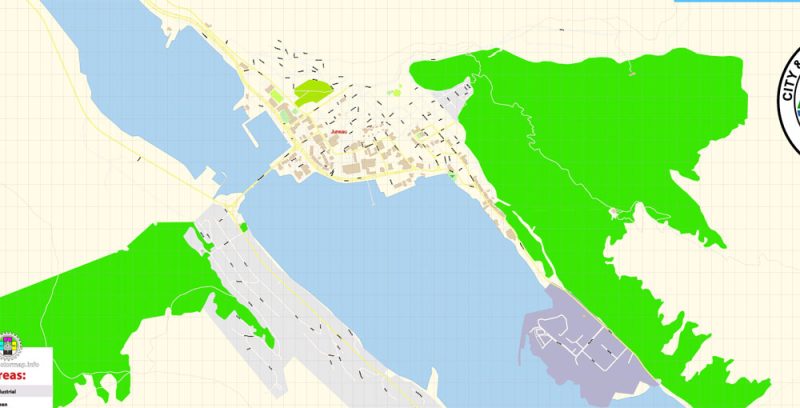
Juneau Map Vector Alaska Exact City Plan detailed Street Map editable Adobe Illustrator in layers
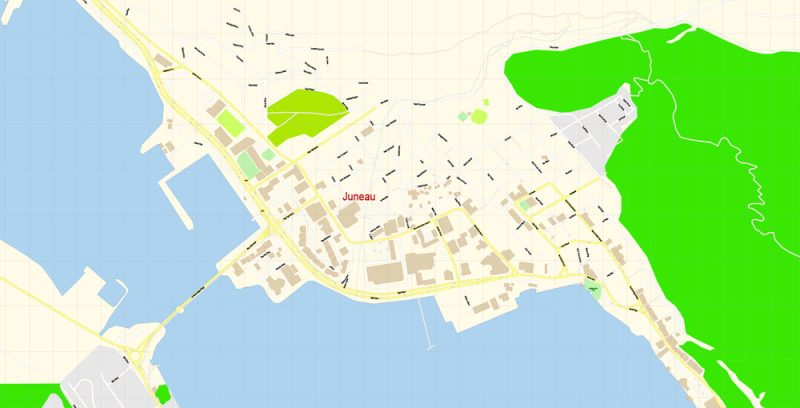
Juneau Map Vector Alaska Exact City Plan detailed Street Map editable Adobe Illustrator in layers
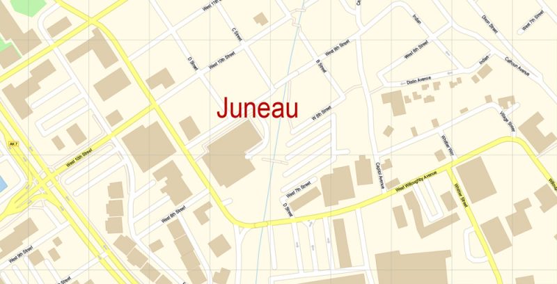
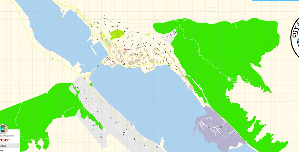
Juneau Map Vector Alaska Exact City Plan detailed Street Map editable Adobe Illustrator in layers
Author Rating
Aggregate Rating
no rating based on 0 votes
@vectormapper
Product Name Juneau Map Vector Alaska Exact City Plan detailed Street Map editable Adobe Illustrator in layers
Price
USD 19
Product Availability
Available in Stock



 Author: Kirill Shrayber, Ph.D. FRGS