Extended Description of the Vector Map
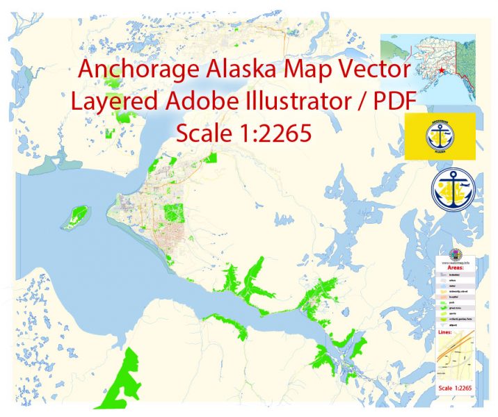
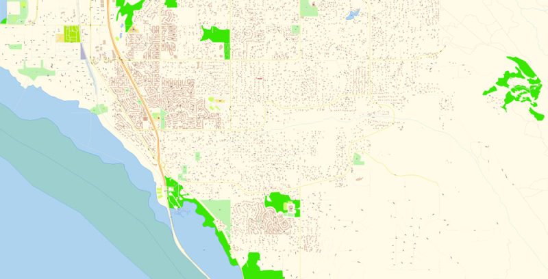
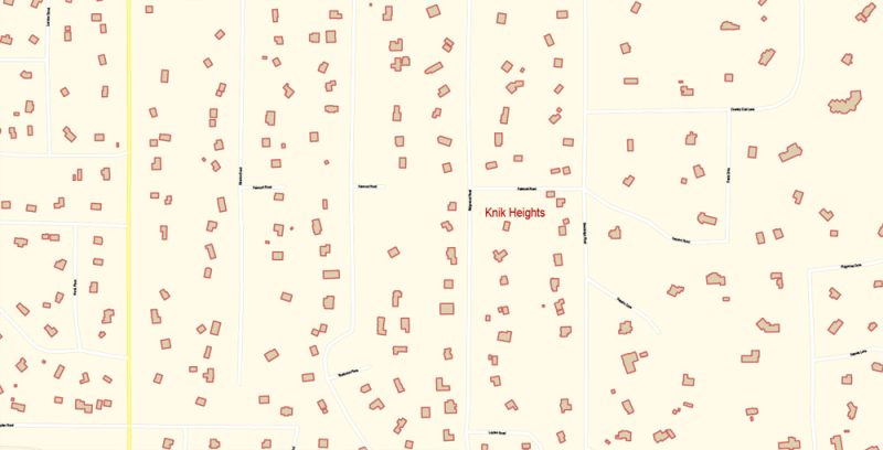
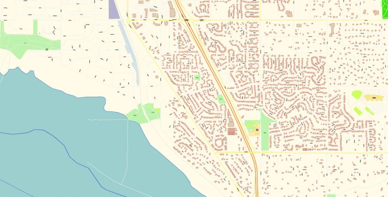
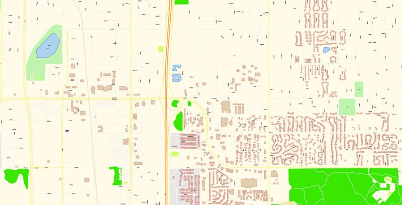
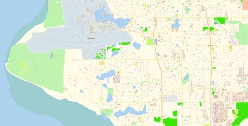
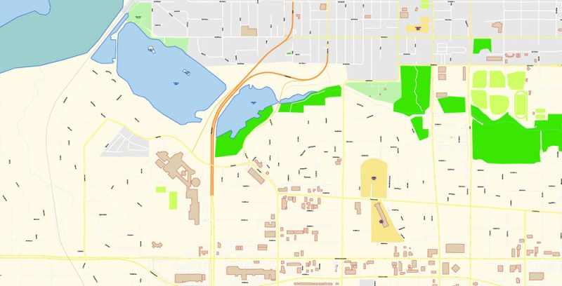
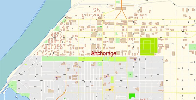
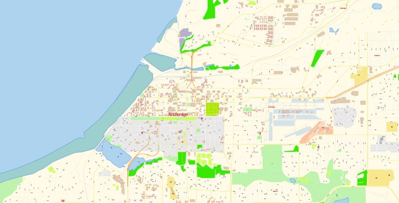
Printable Vector Map of Anchorage Alaska US detailed City Plan scale 1:2265 full editable Adobe Illustrator Street Map in layers, scalable, text format all names, 9 MB ZIP
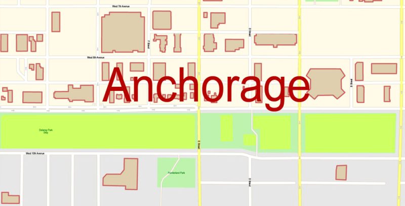
All street names, Main Objects, Buildings. Map for design, printing, arts, projects, presentations, for architects, designers, and builders, business, logistics.
Layers: color_fills, water, streets_roads, labels_roads, names_objects, names_streets, names_places, arrows_streets, buildings, grids, legend, etc.
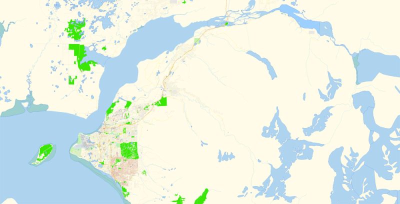
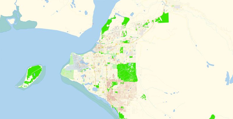
The most exact and detailed map of the city in scale.
For Editing and High-Quality Printing
Anchorage
Municipality in Alaska
Anchorage, Alaska’s largest city, is in the south-central part of the state on the Cook Inlet. It’s known for its cultural sites, including the Alaska Native Heritage Center, which displays traditional crafts, stages dances, and presents replicas of dwellings from the area’s indigenous groups. The city is also a gateway to nearby wilderness areas and mountains including the Chugach, Kenai, and Talkeetna.
Elevation: 31 m
Area: 5,083 km²
Population: 294,356
Anchorage Map Vector Alaska Exact City Plan detailed Street Map editable Adobe Illustrator in layers
Anchorage Map Vector Alaska Exact City Plan detailed Street Map editable Adobe Illustrator in layers
Anchorage Map Vector Alaska Exact City Plan detailed Street Map editable Adobe Illustrator in layers
Anchorage Map Vector Alaska Exact City Plan detailed Street Map editable Adobe Illustrator in layers
Anchorage Map Vector Alaska Exact City Plan detailed Street Map editable Adobe Illustrator in layers
Anchorage Map Vector Alaska Exact City Plan detailed Street Map editable Adobe Illustrator in layers
Anchorage Map Vector Alaska Exact City Plan detailed Street Map editable Adobe Illustrator in layers
Anchorage Map Vector Alaska Exact City Plan detailed Street Map editable Adobe Illustrator in layers
Anchorage Map Vector Alaska Exact City Plan detailed Street Map editable Adobe Illustrator in layers
Anchorage Map Vector Alaska Exact City Plan detailed Street Map editable Adobe Illustrator in layers
Anchorage Map Vector Alaska Exact City Plan detailed Street Map editable Adobe Illustrator in layers
Anchorage Map Vector Alaska Exact City Plan detailed Street Map editable Adobe Illustrator in layers


 Author: Kirill Shrayber, Ph.D. FRGS


