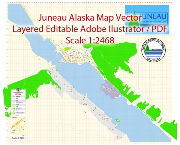
Juneau, the capital city of Alaska, is located in the southeastern part of the state. It is a unique city with stunning natural surroundings, including mountains, forests, and the Gastineau Channel. The city’s layout and road system reflect its topography and geography.
- Egan Drive: Egan Drive is a major roadway that runs along the waterfront, offering scenic views of the Gastineau Channel. It serves as a primary route for local and through traffic, connecting various neighborhoods and the downtown area.
- Downtown Juneau: The downtown area is characterized by narrow streets, historic buildings, and a mix of shops, restaurants, and government buildings. Streets in the downtown area are often named after prominent figures in Alaska’s history.
- West Juneau: This residential area is situated on the western side of the city and includes neighborhoods such as Douglas. Roads in this part of Juneau offer access to residential areas, schools, and parks.
- Glacier Highway: This highway provides access to the Mendenhall Glacier, a popular tourist attraction. It also connects the downtown area with residential neighborhoods and the Juneau International Airport.
- Mendenhall Loop Road: Running in the Mendenhall Valley area, this road loops around and provides access to residential neighborhoods, schools, and the Mendenhall Glacier Visitor Center.
- Channel Drive: Channel Drive follows the shoreline of the Gastineau Channel, providing access to the Alaska Marine Highway terminal, which serves as a ferry terminal connecting Juneau to other coastal communities.
- Back Loop Road: This road offers access to the Juneau International Airport and connects various neighborhoods in the Mendenhall Valley.
- Glacier Highway: Beyond the city limits, Glacier Highway continues and provides access to Auke Bay and eventually connects to other parts of the Alaska road system.
It’s important to note that Juneau’s road system is limited compared to some other cities, and due to the city’s location between mountains and water, there are no roads connecting it to the rest of Alaska. Travel to and from Juneau is primarily done by air or water. Additionally, the city has a well-developed trail system, including pedestrian paths and hiking trails, allowing residents and visitors to explore the natural beauty surrounding the city.


 Author: Kirill Shrayber, Ph.D.