Extended Description of the Vector Map
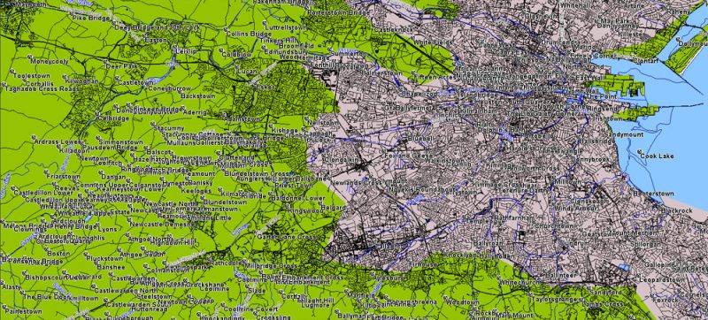
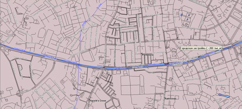
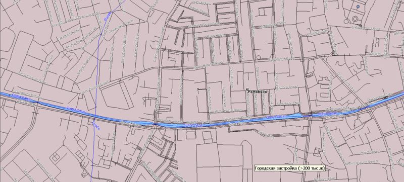
Ireland Island Vector Map in MIF / MID format simple and full all streets. Map for design, printing, arts, projects, presentations, for architects, designers, and builders, business, logistics.
Content archive 68 MB zip: 1. simple full map Ireland Island, 2. full map Ireland Island
Simple: Principal roads (generalized), main cities and towns, simplified water areas, airports.
Full: Admin areas, all streets and roads, all water objects, all cities, towns, villages, hamlets, airports.
MapInfo Interchange Format is a map and database exporting file format of MapInfo software product. The MIF-file filename usually ends with .mif-suffix. Some MIF-files also have a related MID-file. The filename of a MID-file usually ends with .mid-suffix.
MapInfo Pro is a desktop geographic information system (GIS) software product produced by Pitney Bowes Software (formerly MapInfo Corporation) and used for mapping and location analysis. MapInfo Pro allows users to visualize, analyze, edit, interpret, understand and output data to reveal relationships, patterns, and trends. MapInfo Pro allows users to explore spatial data within a dataset, symbolize features, and create maps.
MapInfo Pro is a 64-bit GIS (Geographic Information System) application used by GIS engineers and business analysts. Industry examples include:
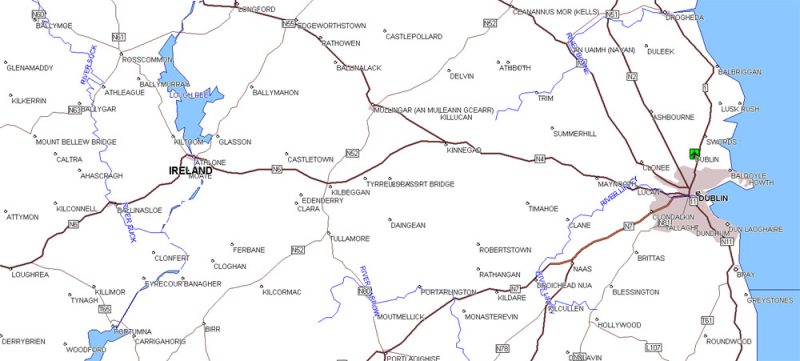
Ireland Island Vector Map in MIF / MID format full
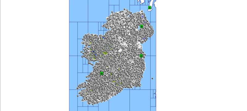
Ireland Island Vector Map in MIF / MID format simple
Ireland Island Vector Map in MIF / MID format simple
Ireland Island Vector Map in MIF / MID format full
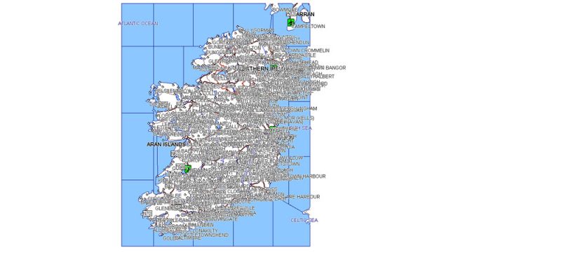
Ireland Island Vector Map in MIF / MID format full
Ireland Island Vector Map in MIF / MID format full
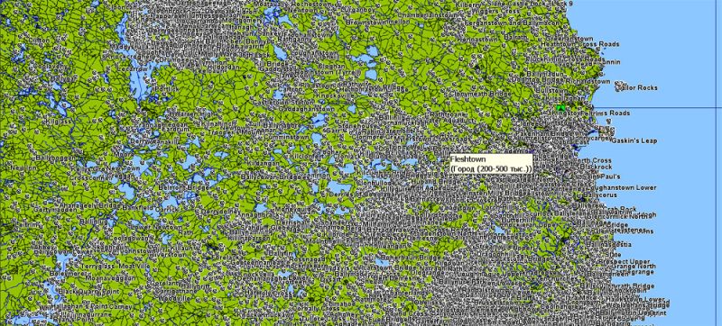
Ireland Island Vector Map in MIF / MID format full


 Author: Kirill Shrayber, Ph.D. FRGS


