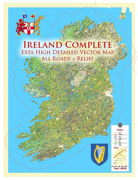
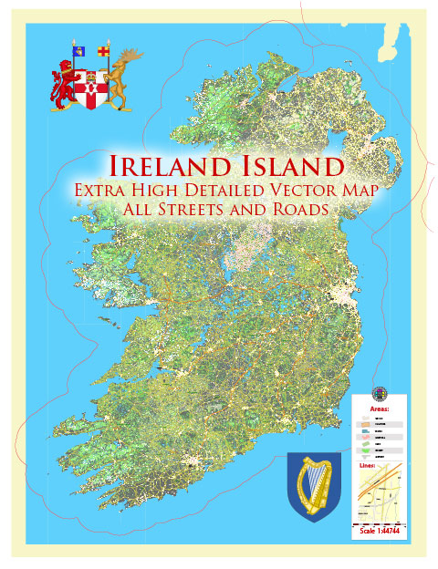
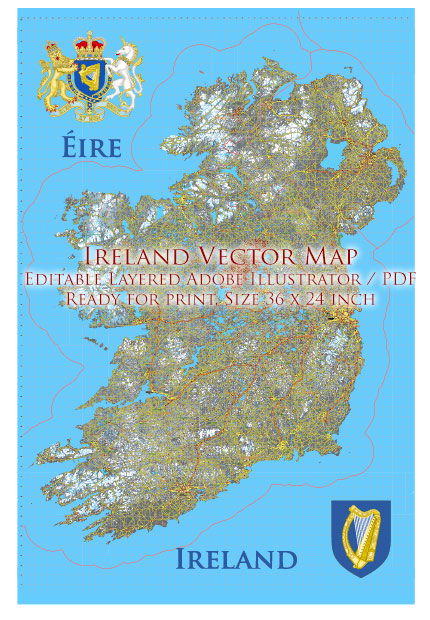
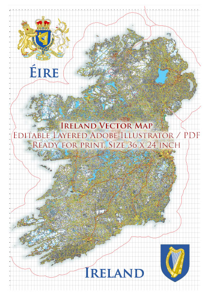
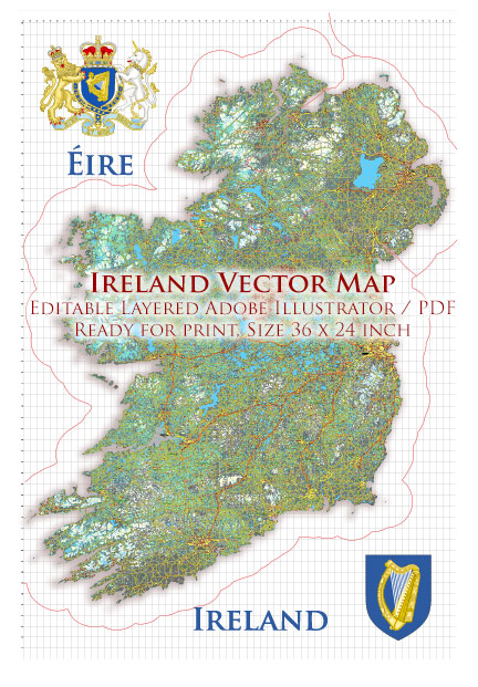
Ireland is an island located in Northwestern Europe. The island is politically divided into two entities: the Republic of Ireland, which covers about five-sixths of the island, and Northern Ireland, which is part of the United Kingdom and occupies the remaining one-sixth. Here are some of the main cities and notable roads in both parts of the island:
Republic of Ireland:
Main Cities:
- Dublin: The capital and largest city of Ireland, located on the east coast. It is a major economic, political, and cultural center.
- Cork: Situated in the south, Cork is the second-largest city in Ireland. It is known for its maritime history and cultural attractions.
- Galway: Located on the west coast, Galway is a vibrant city known for its arts, culture, and festivals.
- Limerick: Situated in the midwest, Limerick is an important city with a rich history and cultural heritage.
- Waterford: Located in the southeast, Waterford is known for its medieval architecture and is Ireland’s oldest city.
Main Roads:
- M50 Motorway: Encircling Dublin, the M50 is a major motorway connecting various parts of the city and facilitating travel around the Dublin metropolitan area.
- N7/M7: Connecting Dublin and Limerick, the M7 is a significant motorway, while the N7 serves as a national route.
- N4/M4: Linking Dublin and the west of Ireland, the M4 is a major motorway providing access to regions such as County Mayo.
- N1/M1: Connecting Dublin and Belfast, the M1 is a crucial motorway for travel between the Republic of Ireland and Northern Ireland.
Northern Ireland:
Main Cities:
- Belfast: The capital and largest city of Northern Ireland, Belfast is an important economic and cultural hub.
- Derry/Londonderry: Situated in the northwest, this city is known for its historic walls and cultural significance.
- Newry: Located in the southeast, Newry is a major transportation and commercial center.
Main Roads:
- M2: Connecting Belfast to the north, the M2 is a key motorway facilitating travel to places like Antrim and Ballymena.
- M1: Linking Belfast and Dungannon, the M1 is a vital motorway for east-west travel within Northern Ireland.
- A1: Connecting Belfast and Newry, the A1 is a major road providing access between Northern Ireland and the Republic of Ireland.
These are just a few examples, and there are many other roads and cities contributing to the transportation and cultural landscape of the island of Ireland. The road network continues to be developed and upgraded to enhance connectivity between different regions.
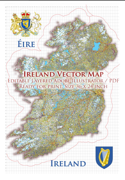
Vectormap.Net provide you with the most accurate and up-to-date vector maps in Adobe Illustrator, PDF and other formats, designed for editing and printing. Please read the vector map descriptions carefully.

 Author: Kirill Shrayber, Ph.D.