Extended Description of the Vector Map
Printable PDF Vector Map Helsinki + Espoo + Vantaa Finland, exact Low detailed City Plan, Scale 1:37307, editable Layered Adobe PDF Street Map, 38 Mb ZIP.
Main streets names, Buildings. Map for publishing, design, printing, publications, arts, projects, presentations, for architects, designers and builders, business, logistics. The most exact and detailed map of the city.
Layers: legend, grids, labels_roads, names_places, names_streets, buildings, streets_roads, color_fills, etc.
Text format all names, for High Quality Printing
DWG, DXF, CDR, ESRI Shapes, and other formats – by request, same price, please contact.
Helsinki
Capital of Finland
Helsinki, Finland’s southern capital, sits on a peninsula in the Gulf of Finland. Its central avenue, Mannerheimintie, is flanked by institutions including the National Museum, tracing Finnish history from the Stone Age to the present. Also on Mannerheimintie are the imposing Parliament House and Kiasma, a contemporary art museum. Ornate red-brick Uspenski Cathedral overlooks a harbor.
Area
• City 715.48 km2 (276.25 sq mi)
• Land 213.75 km2 (82.53 sq mi)
• Water 501.74 km2 (193.72 sq mi)
• Urban 672.08 km2 (259.49 sq mi)
• Metro 3,697.52 km2 (1,427.62 sq mi)
Area rank 258th largest in Finland
Population
• City 642,045
• Rank Largest in Finland
• Density 3,003.72/km2 (7,779.6/sq mi)
• Urban 1,231,595
• Urban density 1,800/km2 (4,700/sq mi)
• Metro 1,470,552
• Metro density 397.7/km2 (1,030/sq mi)
Espoo
City in Finland
Espoo is the second largest city and municipality in Finland. The population of the city of Espoo was 270,416.
Area
• Total 528.03 km2 (203.87 sq mi)
• Land 312.26 km2 (120.56 sq mi)
• Water 215.88 km2 (83.35 sq mi)
Area rank 230th largest in Finland
Population
• Total 277,375
• Rank 2nd largest in Finland
• Density 888.28/km2 (2,300.6/sq mi)
Vantaa
City in Finland
Vantaa is a city and municipality in Finland. It is part of the inner core of the Finnish Capital Region along with Helsinki, Espoo, and Kauniainen. With a population of 221,821, Vantaa is the fourth most populated city of Finland.
Area
• Total 240.35 km2 (92.80 sq mi)
• Land 238.37 km2 (92.04 sq mi)
• Water 1.97 km2 (0.76 sq mi)
Area rank 250th largest in Finland
Population
• Total 221,821
• Rank 4th largest in Finland
• Density 930.57/km2 (2,410.2/sq mi)
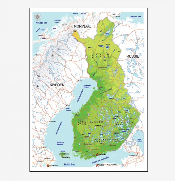
See Also: Full Vector Map Finland
Free vector maps:

Free download printable map Europe vector Adobe Illustrator >>>
Free download printable PDF map Europe vector Adobe PDF >>>


 Author: Kirill Shrayber, Ph.D. FRGS


