Extended Description of the Vector Map
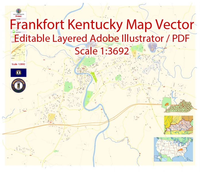
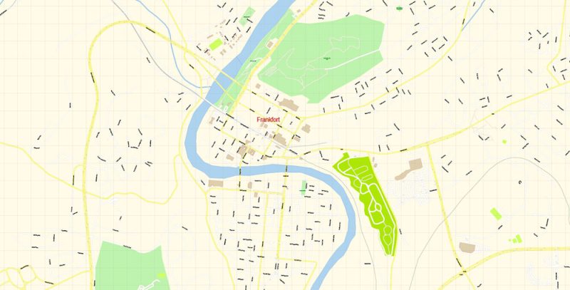
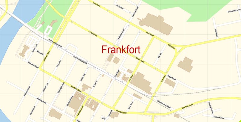
Printable PDF Vector Map of Frankfort Kentucky US detailed City Plan scale 1:3692 full editable Adobe PDF Street Map in layers, scalable, text format all names, 21 MB ZIP
All street names, Main Objects, Buildings. Map for design, printing, arts, projects, presentations, for architects, designers, and builders, business, logistics.
Layers: color_fills, water, streets_roads, labels_roads, names_objects, names_streets, names_places, arrows_streets, buildings, grids, legend, etc.
The most exact and detailed map of the city in scale.
For Editing and High-Quality Printing
Frankfort
City in Kentucky
Frankfort is the capital city of the Commonwealth of Kentucky and the seat of Franklin County. It is a home rule-class city in Kentucky; the population was 25,527 at the 2010 census. Wikipedia
Population: 27,621
Frankfort Map Vector Exact City Plan Kentucky detailed Street Map editable Adobe Illustrator in layers
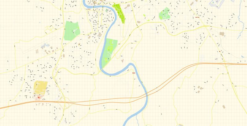
Frankfort Map Vector Exact City Plan Kentucky detailed Street Map editable Adobe Illustrator in layers
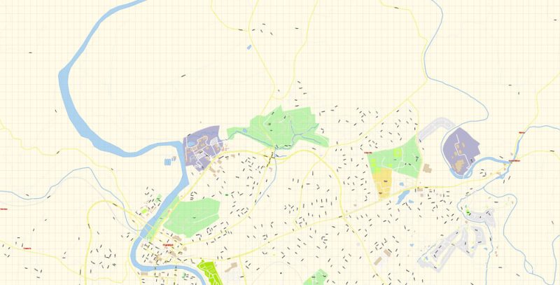
Frankfort Map Vector Exact City Plan Kentucky detailed Street Map editable Adobe Illustrator in layers
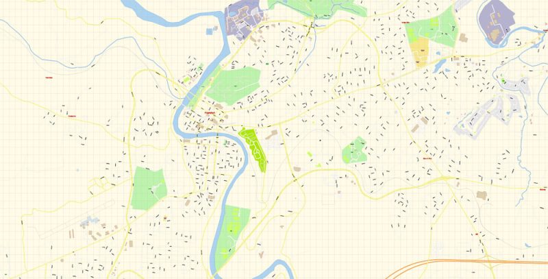
Frankfort Map Vector Exact City Plan Kentucky detailed Street Map editable Adobe Illustrator in layers
Frankfort Map Vector Exact City Plan Kentucky detailed Street Map editable Adobe Illustrator in layers
Frankfort Map Vector Exact City Plan Kentucky detailed Street Map editable Adobe Illustrator in layers
Author Rating
Aggregate Rating
no rating based on 0 votes
@vectormapper
Product Name Frankfort PDF Map Vector Exact City Plan Kentucky detailed Street Map editable Adobe PDF in layers
Price
USD 31
Product Availability
Available in Stock


 Author: Kirill Shrayber, Ph.D. FRGS
 + Admin Areas editable Adobe Illustrator in layers")
 + Admin Areas + Relief Shaded Raster, editable Adobe Illustrator in layers")
