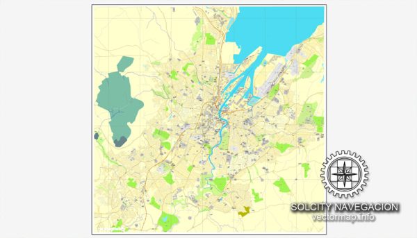
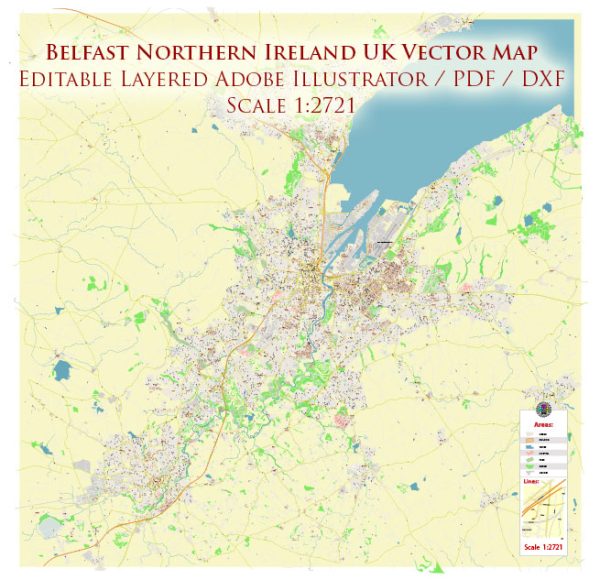
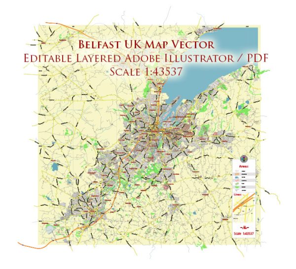
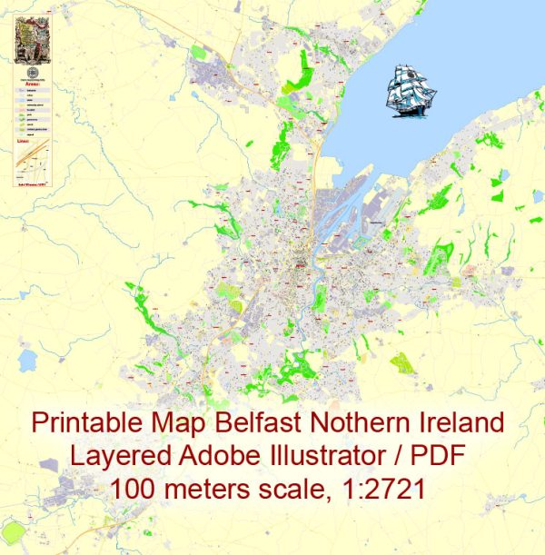
Belfast is not located in Ireland, but in Northern Ireland, which is part of the United Kingdom. It’s the capital and largest city of Northern Ireland. Belfast has a rich history, and its streets and roads reflect its diverse and dynamic character. Here are some of the principal streets and roads in Belfast:
- Royal Avenue: A major shopping street in the city center, lined with shops, restaurants, and entertainment venues.
- Donegall Place: Another key shopping street located in the heart of the city, often hosting events and parades.
- High Street: Home to a mix of historic buildings, shops, and cafes, High Street connects the Cathedral Quarter with the city center.
- Great Victoria Street: One of Belfast’s main thoroughfares, featuring hotels, businesses, and the Grand Opera House.
- Lisburn Road: Known for its upscale shops and boutiques, Lisburn Road is a popular destination for shopping and dining.
- Ormeau Road: Runs through the southern part of the city, known for its diverse range of shops, restaurants, and cultural venues.
- Shankill Road: Located in the west of the city, Shankill Road has historical significance and is known for its murals reflecting the city’s political and cultural history.
- Falls Road: Running parallel to Shankill Road, Falls Road is also significant for its political murals and historical associations.
- Queens Bridge and Queens Road: Crossing the River Lagan, these areas connect the city center with the Titanic Quarter.
- Newtonards Road: Connects the city center with East Belfast, featuring a mix of residential and commercial areas.
- York Street and York Road: In the northern part of the city, leading towards the Belfast Docks.
- Malone Road: Runs through the affluent Malone area, known for its large Victorian houses and tree-lined streets.
- Dublin Road: Home to the city’s entertainment district, featuring theaters, bars, and restaurants.
- Ravenhill Road: Located in East Belfast, known for Ravenhill Stadium, the home of Ulster Rugby.
- Stranmillis Road: Runs along the River Lagan and is known for Stranmillis University College and residential areas.
These are just a few examples, and there are many more streets and roads that contribute to Belfast’s vibrant urban landscape. The city has undergone significant redevelopment in recent years, blending modern infrastructure with its historic charm.


 Author: Kirill Shrayber, Ph.D.