Extended Description of the Vector Map
City of Belfast (United Kingdom)
Belfast is a city in the United Kingdom and the capital of Northern Ireland. It was once a powerful shipbuilding center, where the legendary Titanic was built. Belfast is a city with a wonderful Irish atmosphere, rich history, vibrant cultural life, and provincial charm. Despite the scars of recent military conflicts (between government forces and Irish nationalists), the capital of Northern Ireland now lives a peaceful life and is one of the safest places in Britain. Belfast attracts more and more tourists with its attractions, beautiful Victorian architecture, surrounding natural landscapes, and interesting cultural sites.
Geography and climate
Belfast is located at the mouth of the River Lagan on the east coast of Ireland. To the north and northwest, the city is bounded by rows of hills. The climate of Belfast is temperate maritime with a noticeable influence of the warm Gulf Stream. It is characterized by cool summers, rainy autumns, and mild winters.
History
The name Belfast comes from the Irish Béal Feirsde, which can be translated as “ford at the mouth of the river”. In fact, the territory of the modern city was inhabited more than 5,000 years ago. In fact, the history of Belfast began in the 12th century, when the English built a castle here. The town itself was founded in 1609 by English and Scottish settlers.
In the 17th century, Belfast was a small provincial town that traded in wool and agricultural products. The rapid development of the city occurred with the beginning of the transatlantic trade. By the end of the 19th century, Belfast had become one of the largest shipbuilding centers in Europe. The city was also one of the largest industrial centers in Ireland.
In the early 20th century, Belfast shipyards completed a number of ambitious shipbuilding and engineering projects, including the construction of the Titanic. Belfast was affected by the following military conflicts: the War of Irish Independence (1920-1922), the Second World War, and the troubles of 1970-1972.
The Titanic Museum is one of Belfast’s most famous cultural sites, dedicated to the construction and sinking of one of the largest ocean liners of the early 20th century and the city’s maritime history. Here you can take a tour of the slipway and the huge dock where the Titanic (the second Olympic-class liner) was built more than a century ago. An interesting modern building in the shape of a star holds many interesting artifacts and offers interactive exhibitions.
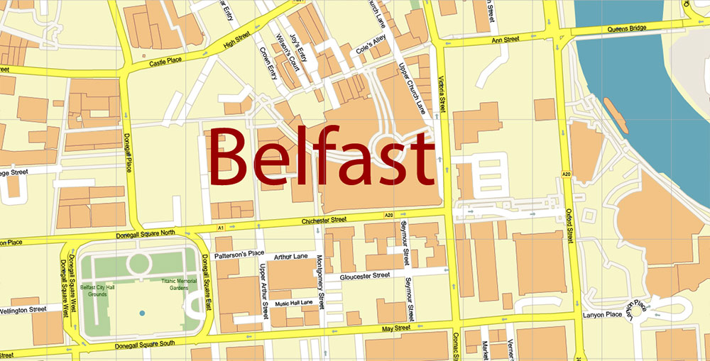
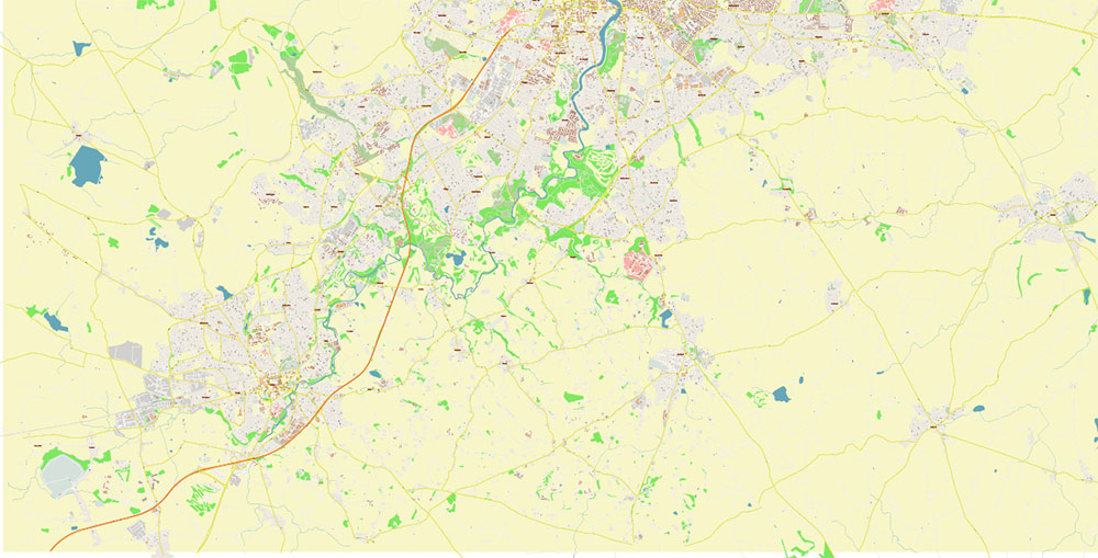
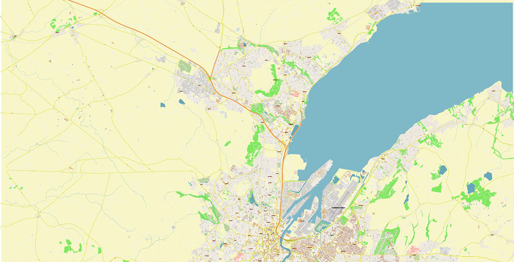
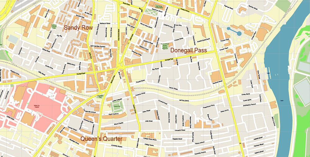
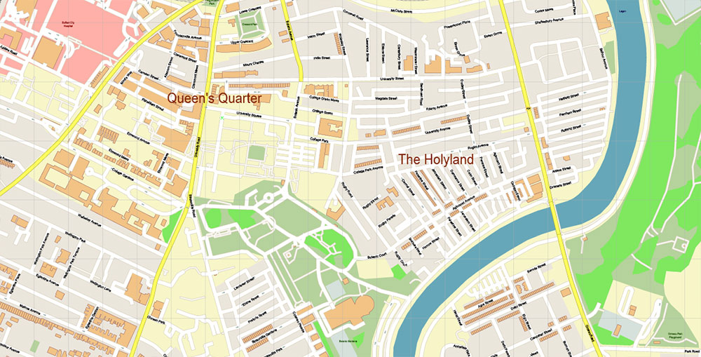
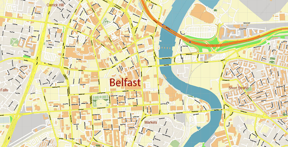
Printable Vector Map of Belfast Northern Ireland UK High Detailed City Plan scale 1:2721 full editable Adobe Illustrator Street Map in layers, scalable, text format all names, 8 MB ZIP
All street names, Main Objects, Buildings. Map for design, printing, arts, projects, presentations, for architects, designers, and builders, business, logistics.
Need CDR, DWG or any other format? Please, contact us!
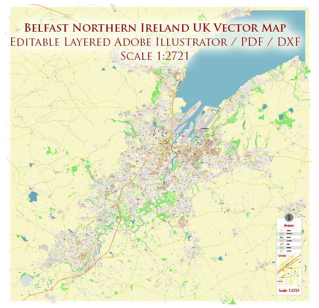
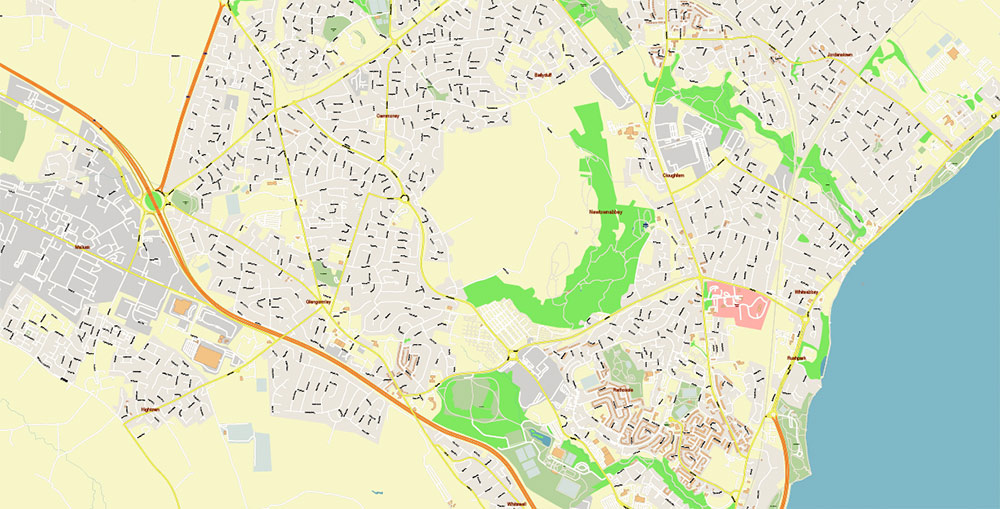
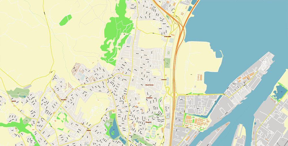
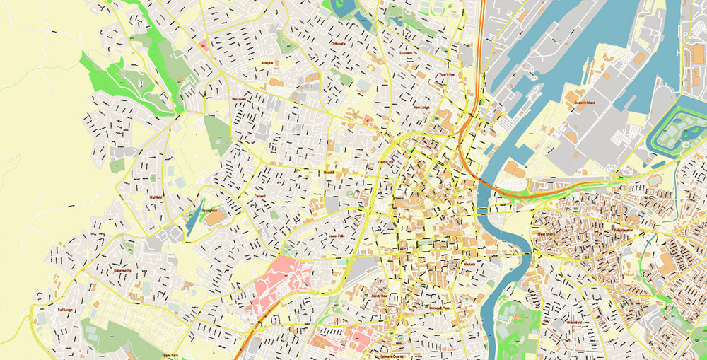
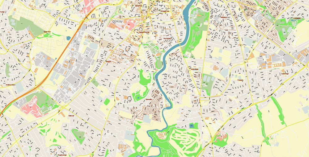
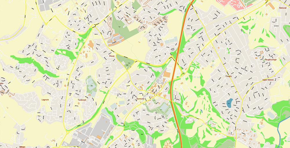
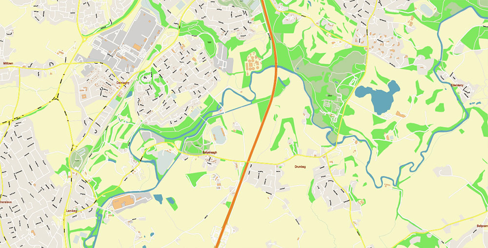
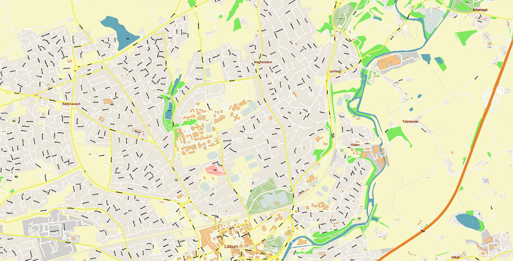
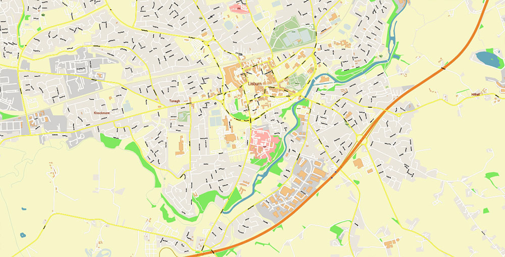
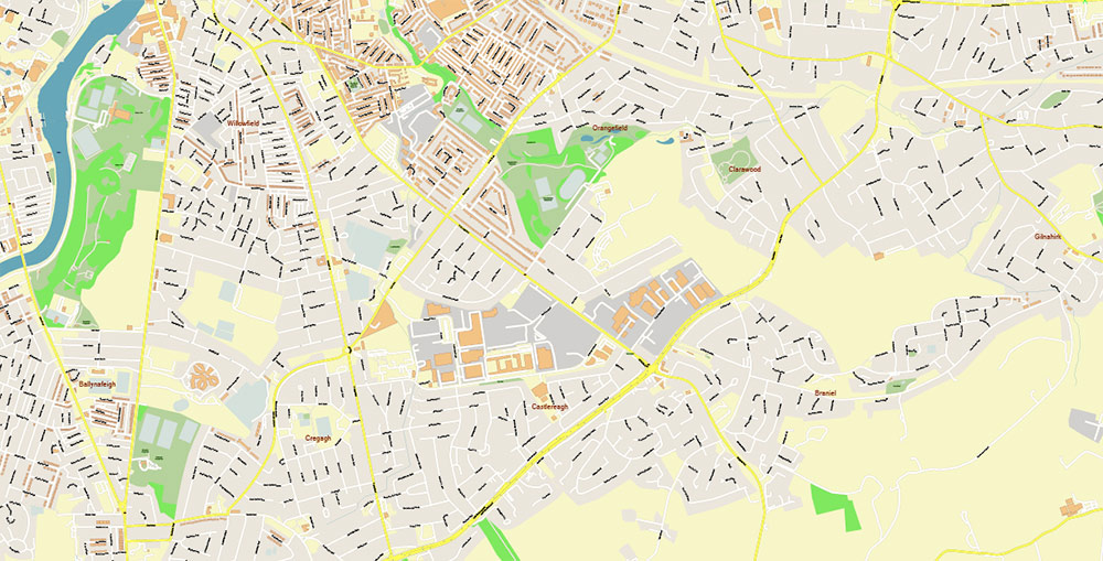
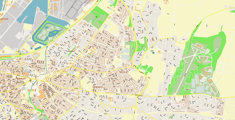
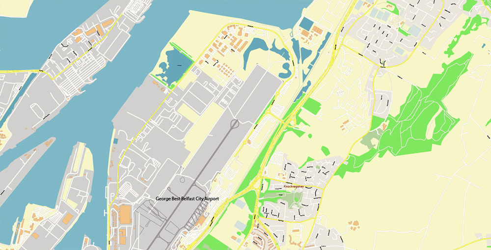
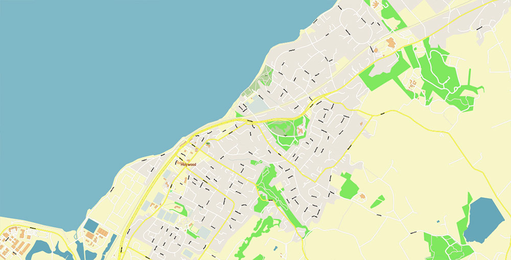
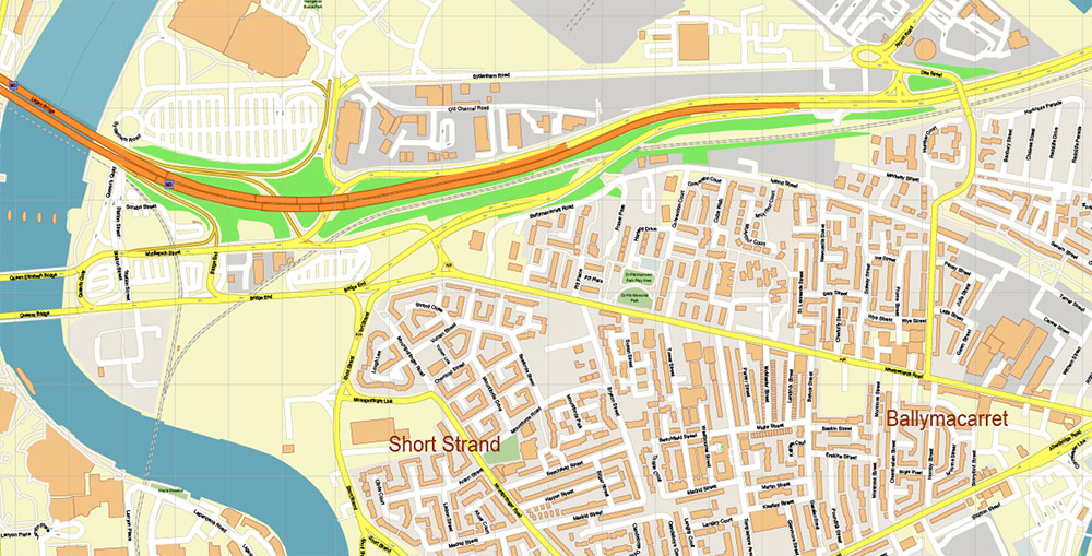
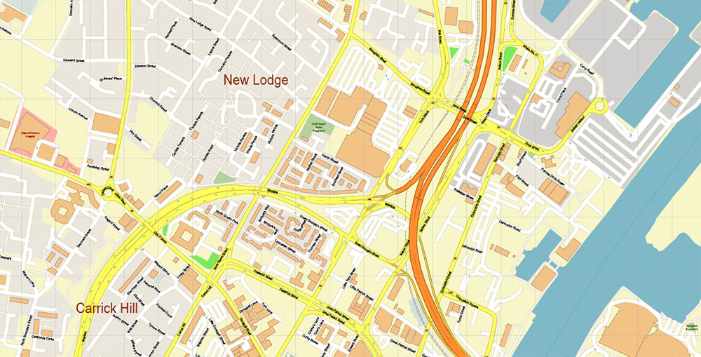
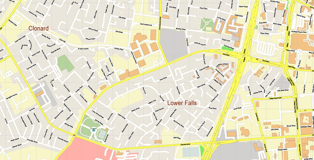
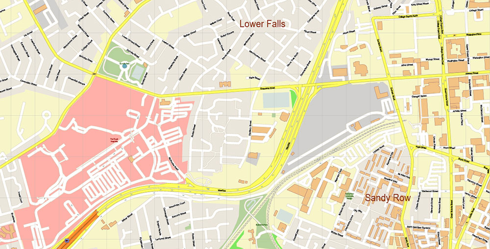
Belfast Northern Ireland UK Vector Map Exact City Plan High Detailed Street Map Adobe Illustrator in layers
Layers list:
- Legend
- Grids
- Labels of roads
- Names of places (city, hamlet, etc.)
- Names of objects (hospitals, parks, water)
- Names of main streets
- Names of residential streets
- Arrows of street drive direction
- Main Streets, roads
- Residential streets
- Railroads
- Buildings
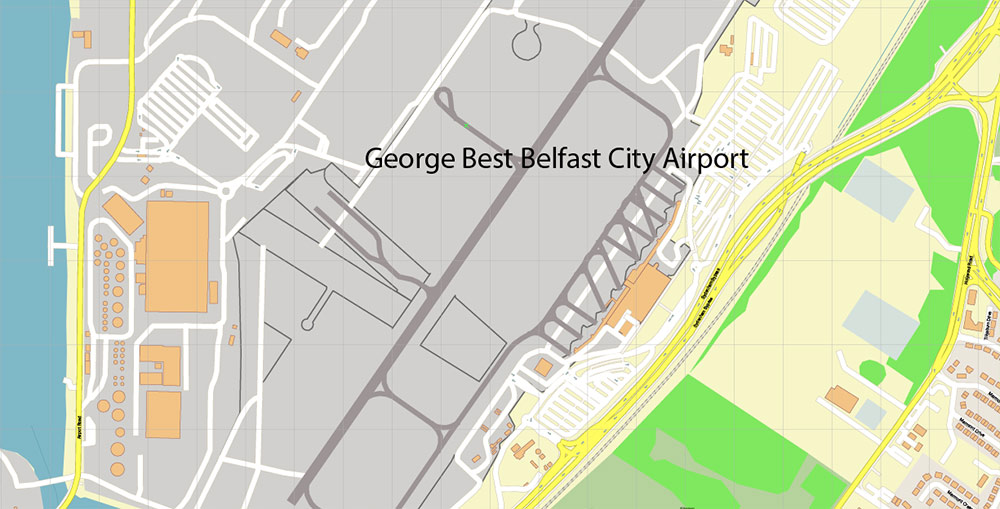
- Airports and heliports
- Water objects (rivers, lakes, ponds)
- Waterways
- Color fills (parks, hospital areas, land use, etc.)
- Islands
- Background and Sea
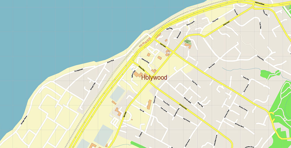
Belfast Northern Ireland UK Vector Map Exact City Plan High Detailed Street Map Adobe Illustrator in layers
Belfast Northern Ireland UK Vector Map Exact City Plan High Detailed Street Map Adobe Illustrator in layers
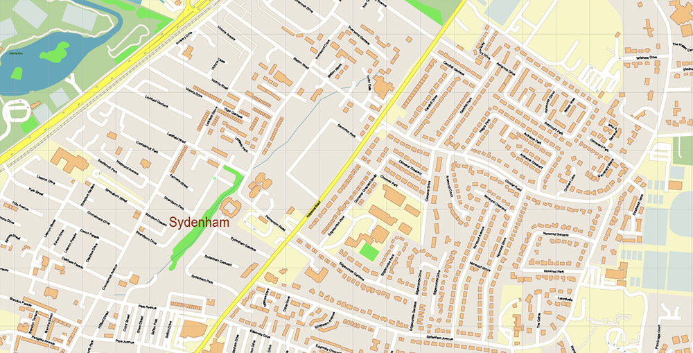
Belfast Northern Ireland UK Vector Map Exact City Plan High Detailed Street Map Adobe Illustrator in layers
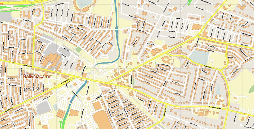
Belfast Northern Ireland UK Vector Map Exact City Plan High Detailed Street Map Adobe Illustrator in layers
Belfast Northern Ireland UK Vector Map Exact City Plan High Detailed Street Map Adobe Illustrator in layers
Belfast Northern Ireland UK Vector Map Exact City Plan High Detailed Street Map Adobe Illustrator in layers
Belfast Northern Ireland UK Vector Map Exact City Plan High Detailed Street Map Adobe Illustrator in layers
Belfast Northern Ireland UK Vector Map Exact City Plan High Detailed Street Map Adobe Illustrator in layers
Belfast Northern Ireland UK Vector Map Exact City Plan High Detailed Street Map Adobe Illustrator in layers
Belfast Northern Ireland UK Vector Map Exact City Plan High Detailed Street Map Adobe Illustrator in layers
Belfast Northern Ireland UK Vector Map Exact City Plan High Detailed Street Map Adobe Illustrator in layers
Belfast Northern Ireland UK Vector Map Exact City Plan High Detailed Street Map Adobe Illustrator in layers
Belfast Northern Ireland UK Vector Map Exact City Plan High Detailed Street Map Adobe Illustrator in layers
Belfast Northern Ireland UK Vector Map Exact City Plan High Detailed Street Map Adobe Illustrator in layers
Belfast Northern Ireland UK Vector Map Exact City Plan High Detailed Street Map Adobe Illustrator in layers
Belfast Northern Ireland UK Vector Map Exact City Plan High Detailed Street Map Adobe Illustrator in layers
Belfast Northern Ireland UK Vector Map Exact City Plan High Detailed Street Map Adobe Illustrator in layers
Belfast Northern Ireland UK Vector Map Exact City Plan High Detailed Street Map Adobe Illustrator in layers
Belfast Northern Ireland UK Vector Map Exact City Plan High Detailed Street Map Adobe Illustrator in layers
Belfast Northern Ireland UK Vector Map Exact City Plan High Detailed Street Map Adobe Illustrator in layers
Belfast Northern Ireland UK Vector Map Exact City Plan High Detailed Street Map Adobe Illustrator in layers
Belfast Northern Ireland UK Vector Map Exact City Plan High Detailed Street Map Adobe Illustrator in layers
Belfast Northern Ireland UK Vector Map Exact City Plan High Detailed Street Map Adobe Illustrator in layers
Belfast Northern Ireland UK Vector Map Exact City Plan High Detailed Street Map Adobe Illustrator in layers
Belfast Northern Ireland UK Vector Map Exact City Plan High Detailed Street Map Adobe Illustrator in layers
Belfast Northern Ireland UK Vector Map Exact City Plan High Detailed Street Map Adobe Illustrator in layers

 Author: Kirill Shrayber, Ph.D. FRGS

 Street Map editable Adobe Illustrator in layers")