Extended Description of the Vector Map
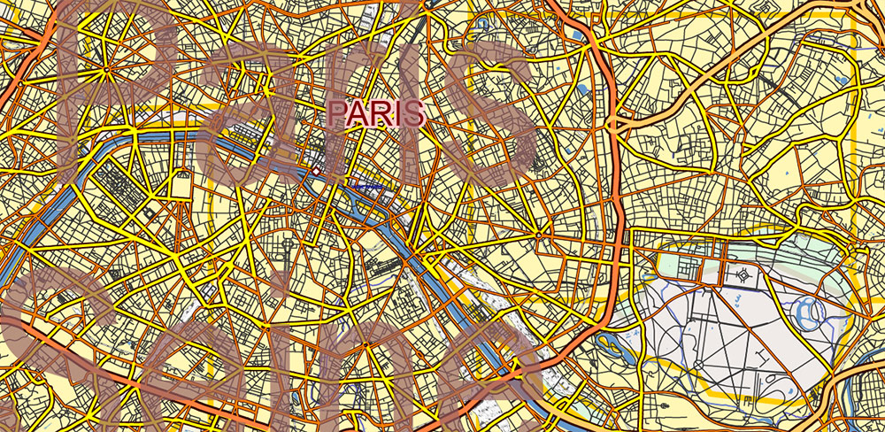
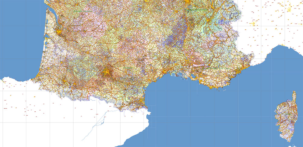
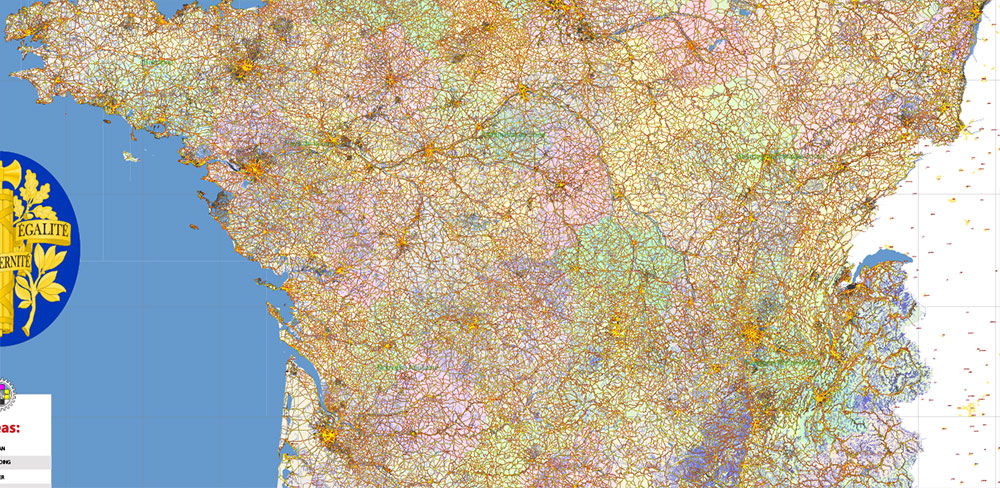
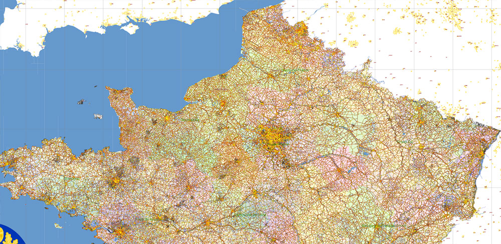
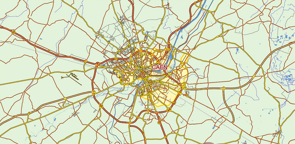
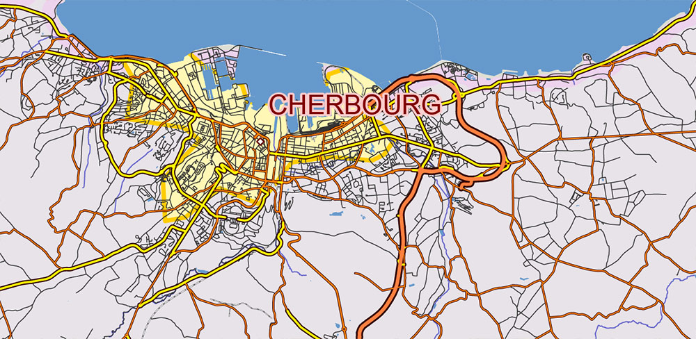
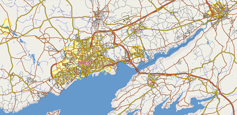
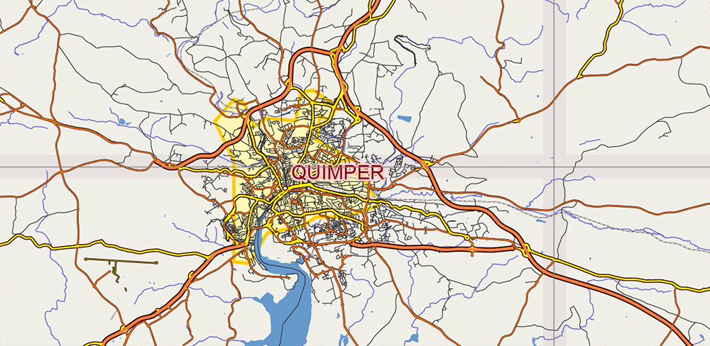
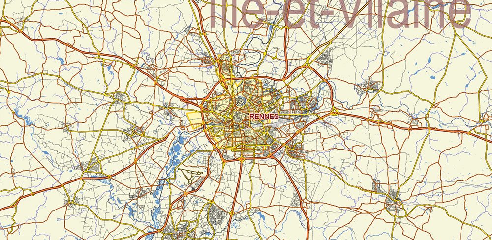
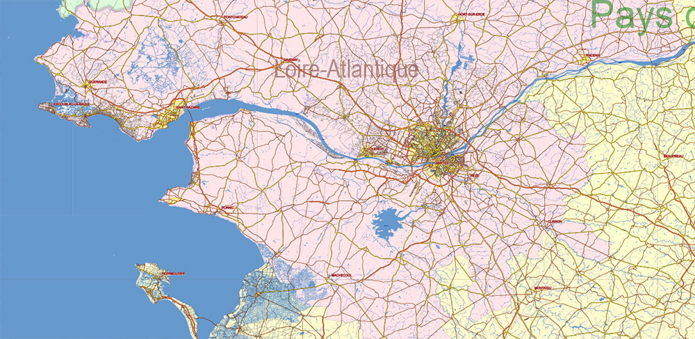
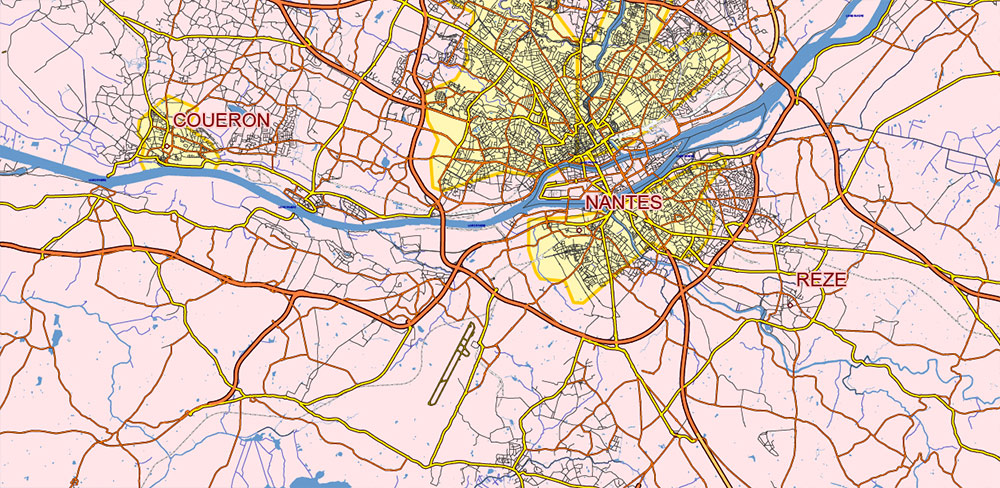
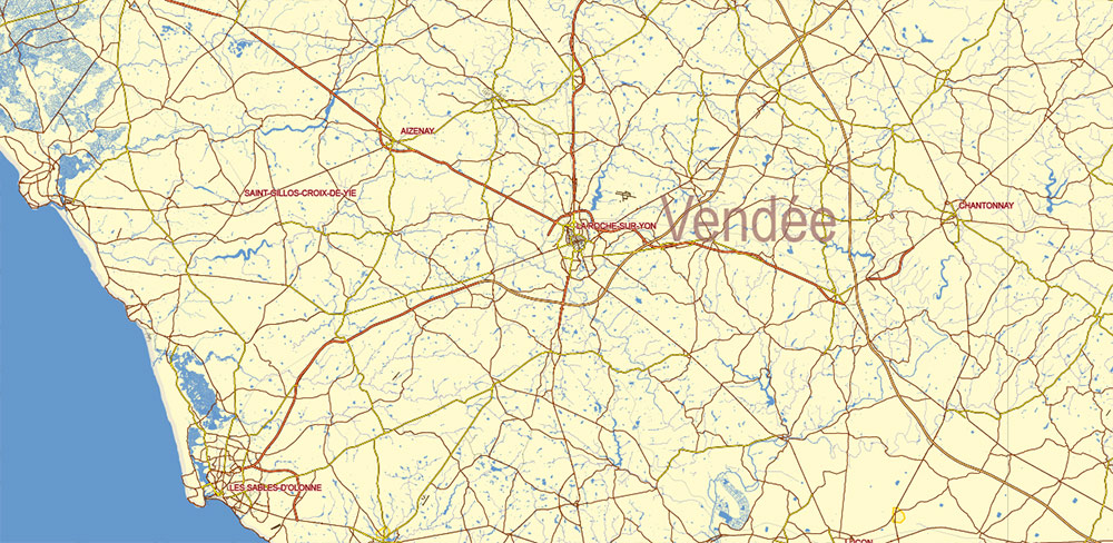
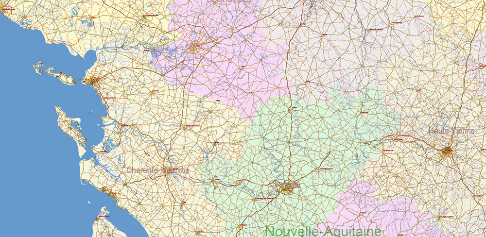
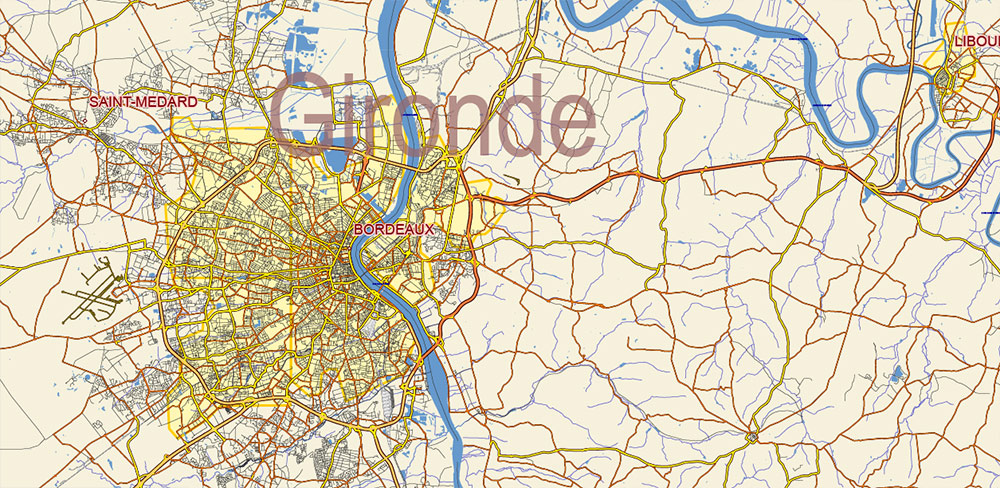
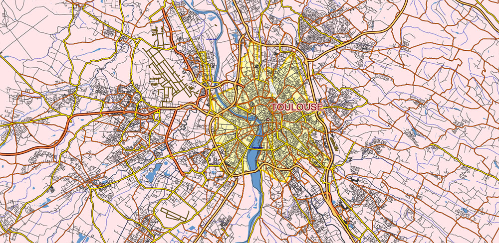
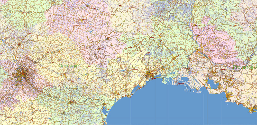
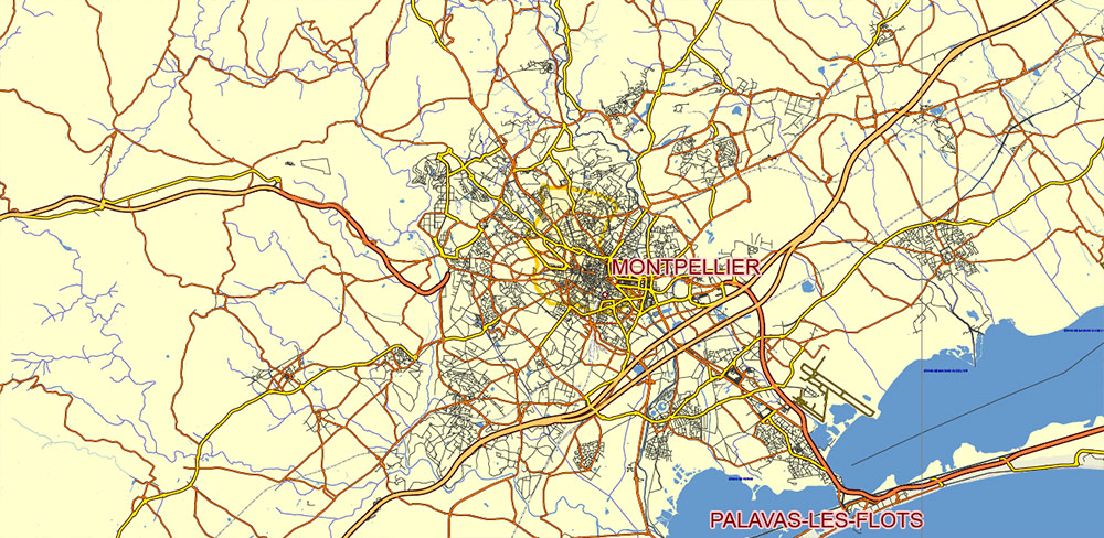
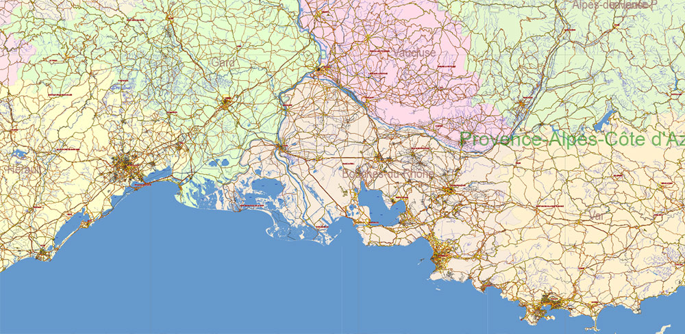
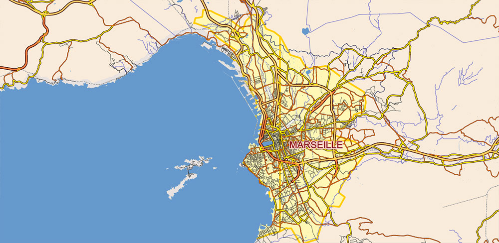
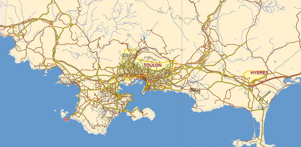
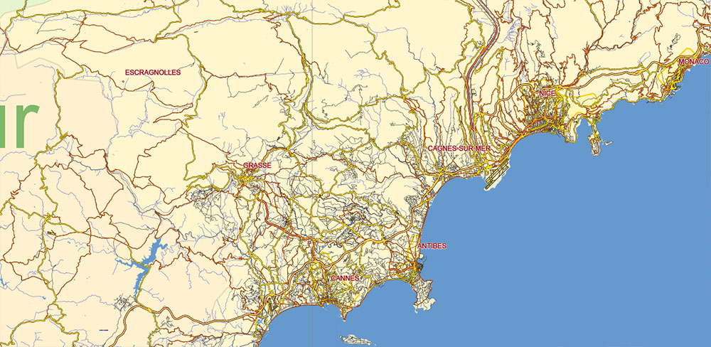
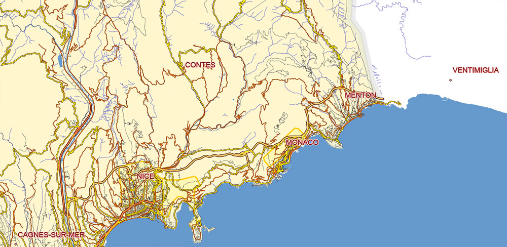
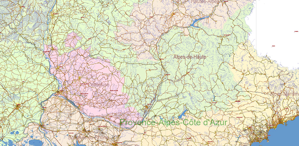
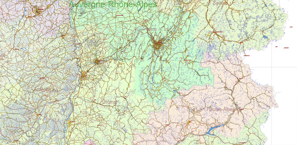
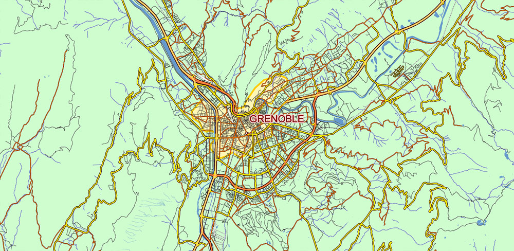
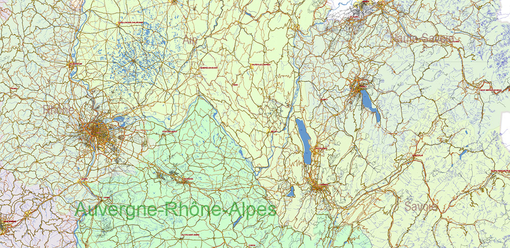
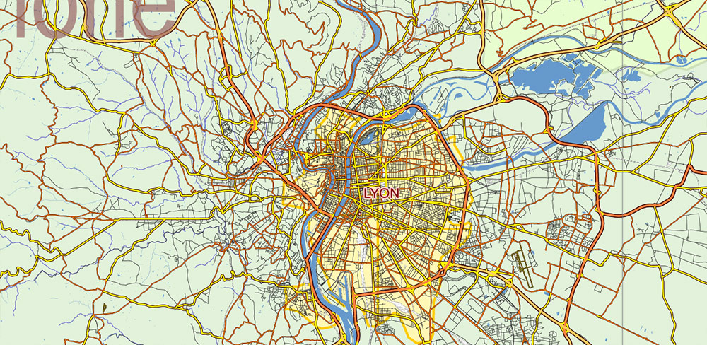
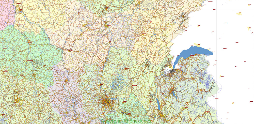
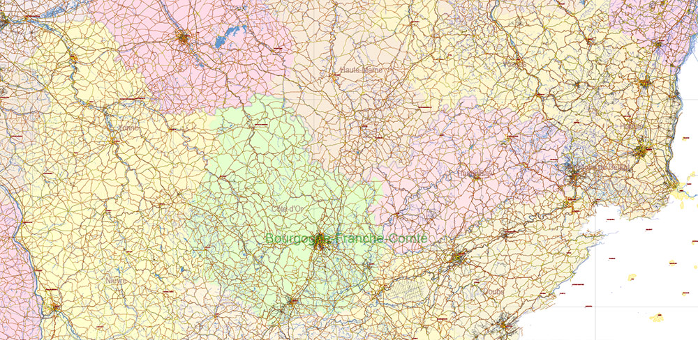
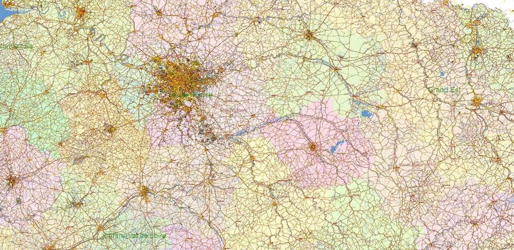
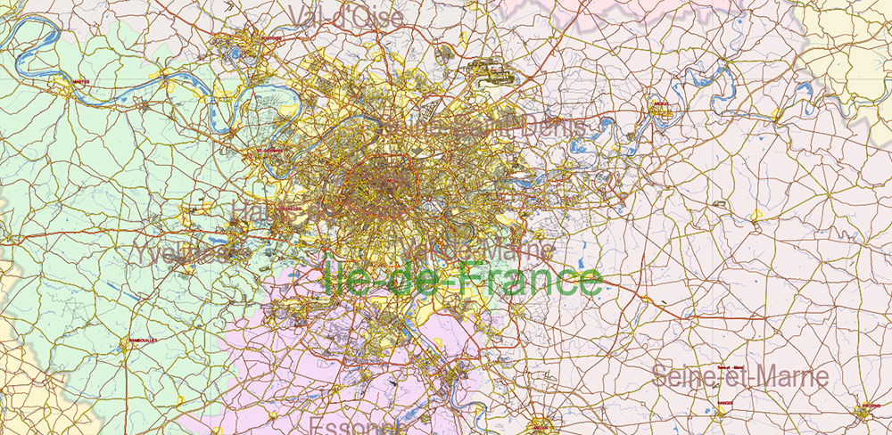
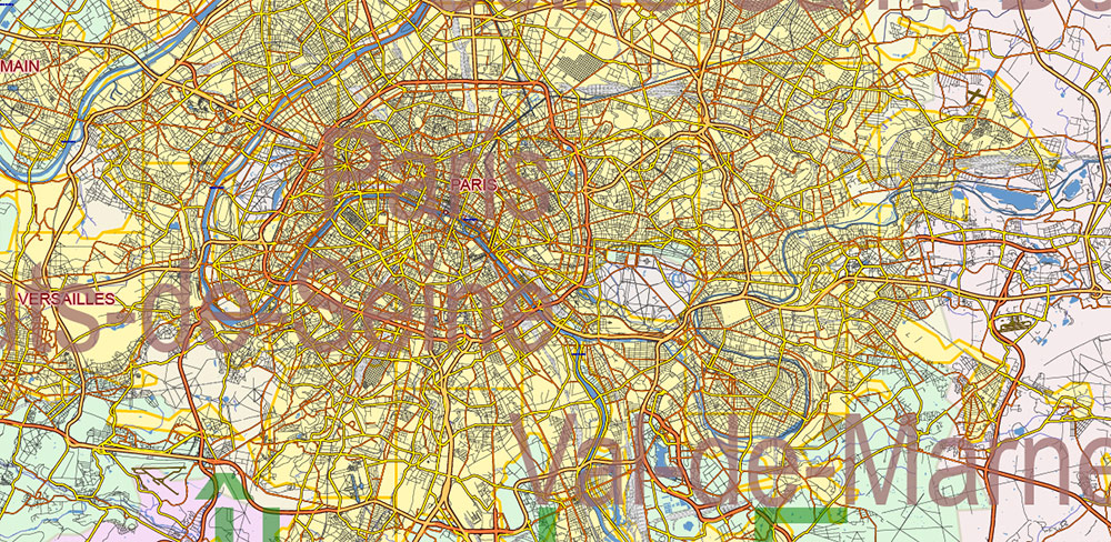
Printable France Vector Map 2023 Extra High Detailed All roads, Water objects, Provinces, Departaments, in Mercator Projection fully editable, Adobe Illustrator in layers, full vector, scalable, text format names, 346 mb ZIP
All roads and railroads, Water areas, Departaments and Provinces. Map for design, printing, arts, projects, presentations, for architects, designers and builders, business, logistics, education.
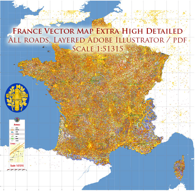
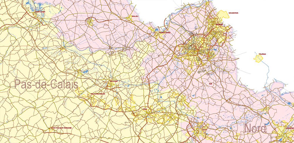
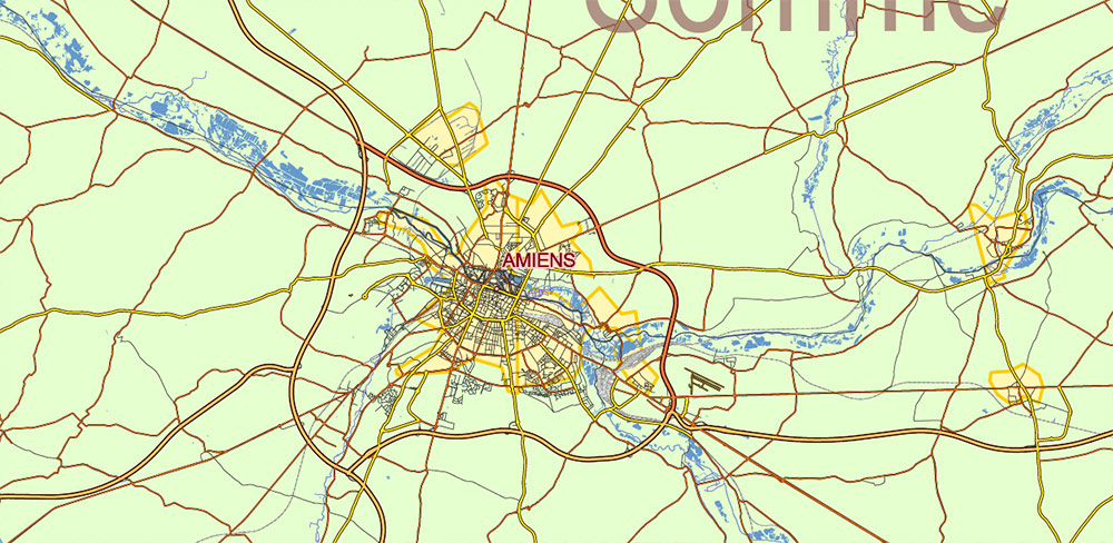
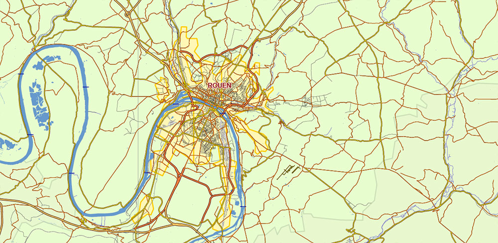
France Vector Map Extra High detailed All Roads, fully editable Layered Adobe Illustrator
Layers:
- Legend and Scale
- Grids
- Cities points
- Cities names
- Departaments names
- Names Provinces
- Railroads
- Principal roads
- All Roads (residencial)
- Names Water objects
- Water objects (areas)
- Waterways
- Departaments areas
- Provinces areas
- Urban Areas
- Background
France Vector Map Extra High detailed All Roads, fully editable Layered Adobe Illustrator
France Vector Map Extra High detailed All Roads, fully editable Layered Adobe Illustrator
France Vector Map Extra High detailed All Roads, fully editable Layered Adobe Illustrator
France Vector Map Extra High detailed All Roads, fully editable Layered Adobe Illustrator
France Vector Map Extra High detailed All Roads, fully editable Layered Adobe Illustrator
France Vector Map Extra High detailed All Roads, fully editable Layered Adobe Illustrator
France Vector Map Extra High detailed All Roads, fully editable Layered Adobe Illustrator
France Vector Map Extra High detailed All Roads, fully editable Layered Adobe Illustrator
France Vector Map Extra High detailed All Roads, fully editable Layered Adobe Illustrator
France Vector Map Extra High detailed All Roads, fully editable Layered Adobe Illustrator
France Vector Map Extra High detailed All Roads, fully editable Layered Adobe Illustrator
France Vector Map Extra High detailed All Roads, fully editable Layered Adobe Illustrator
France Vector Map Extra High detailed All Roads, fully editable Layered Adobe Illustrator
France Vector Map Extra High detailed All Roads, fully editable Layered Adobe Illustrator
France Vector Map Extra High detailed All Roads, fully editable Layered Adobe Illustrator
France Vector Map Extra High detailed All Roads, fully editable Layered Adobe Illustrator
France Vector Map Extra High detailed All Roads, fully editable Layered Adobe Illustrator
France Vector Map Extra High detailed All Roads, fully editable Layered Adobe Illustrator
France Vector Map Extra High detailed All Roads, fully editable Layered Adobe Illustrator
France Vector Map Extra High detailed All Roads, fully editable Layered Adobe Illustrator
France Vector Map Extra High detailed All Roads, fully editable Layered Adobe Illustrator
France Vector Map Extra High detailed All Roads, fully editable Layered Adobe Illustrator
France Vector Map Extra High detailed All Roads, fully editable Layered Adobe Illustrator
France Vector Map Extra High detailed All Roads, fully editable Layered Adobe Illustrator
France Vector Map Extra High detailed All Roads, fully editable Layered Adobe Illustrator
France Vector Map Extra High detailed All Roads, fully editable Layered Adobe Illustrator
France Vector Map Extra High detailed All Roads, fully editable Layered Adobe Illustrator
France Vector Map Extra High detailed All Roads, fully editable Layered Adobe Illustrator
France Vector Map Extra High detailed All Roads, fully editable Layered Adobe Illustrator
France Vector Map Extra High detailed All Roads, fully editable Layered Adobe Illustrator
France Vector Map Extra High detailed All Roads, fully editable Layered Adobe Illustrator
France Vector Map Extra High detailed All Roads, fully editable Layered Adobe Illustrator
France Vector Map Extra High detailed All Roads, fully editable Layered Adobe Illustrator
France Vector Map Extra High detailed All Roads, fully editable Layered Adobe Illustrator
France Vector Map Extra High detailed All Roads, fully editable Layered Adobe Illustrator

 Author: Kirill Shrayber, Ph.D. FRGS


