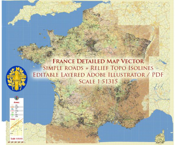
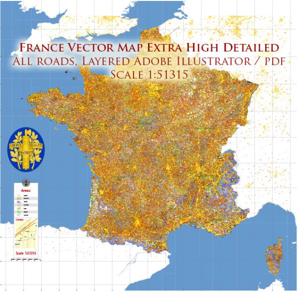
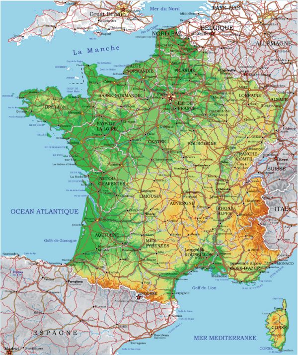
France has a well-developed network of waterways and roads that play a crucial role in transportation and commerce. Here’s an overview of some principal waterways and main roads in France:
Waterways:
- Seine River: The Seine flows through the heart of Paris and is one of the most important waterways in France. It is navigable and connects Paris to the English Channel.
- Rhône River: The Rhône runs from the Swiss Alps through southeastern France and eventually into the Mediterranean Sea. It is a major transportation route and facilitates trade and commerce.
- Loire River: The Loire is the longest river in France, flowing from the Massif Central to the Atlantic Ocean. It is navigable in certain sections and is an important waterway for transportation.
- Garonne River: The Garonne flows through southwestern France, and its navigable sections contribute to the transportation network in the region.
- Canal du Midi: This historic canal connects the Garonne River to the Mediterranean Sea. It is a UNESCO World Heritage Site and is popular for leisure boating.
- Rhine-Rhône Canal: Connecting the Rhine River to the Saône River and the Rhône, this canal is a key part of the European waterway network.
Main Roads:
- Autoroutes: France has an extensive network of toll highways known as autoroutes. These are high-speed roads that connect major cities and regions. Some notable autoroutes include the A1 (connecting Paris to the north), A6 (linking Paris to the south), and A10 (connecting Paris to Bordeaux).
- National Roads: The national road network includes routes that connect cities and regions. These roads are often well-maintained and provide an alternative to the toll highways. The N7, for example, is a historic route that connects Paris to the French Riviera.
- Peripheral Boulevard (Boulevard Périphérique): In Paris, the Boulevard Périphérique is a ring road that encircles the city and facilitates traffic flow around the capital.
- Route Nationale (RN): These are major national routes connecting various parts of the country. Some have been upgraded to autoroutes, but many still serve as important roadways.
- D Roads (Départementales): These are departmental roads maintained by local authorities. They connect smaller towns and villages and play a crucial role in local transportation.
France’s transportation infrastructure is well-integrated, making it easy to travel by both water and road throughout the country. The combination of waterways, autoroutes, and other roads contributes to efficient and accessible transportation for both people and goods.

 Author: Kirill Shrayber, Ph.D.