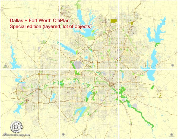
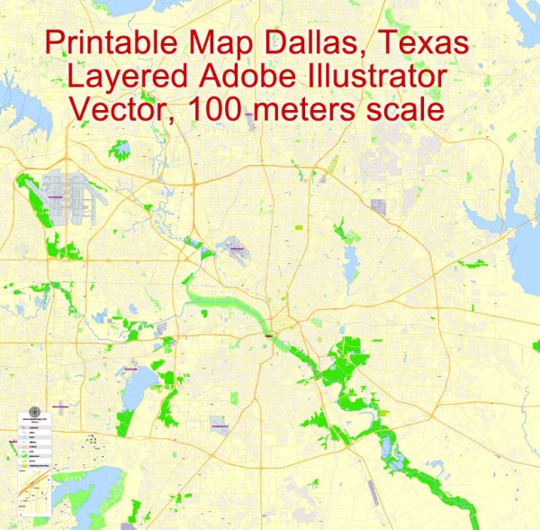
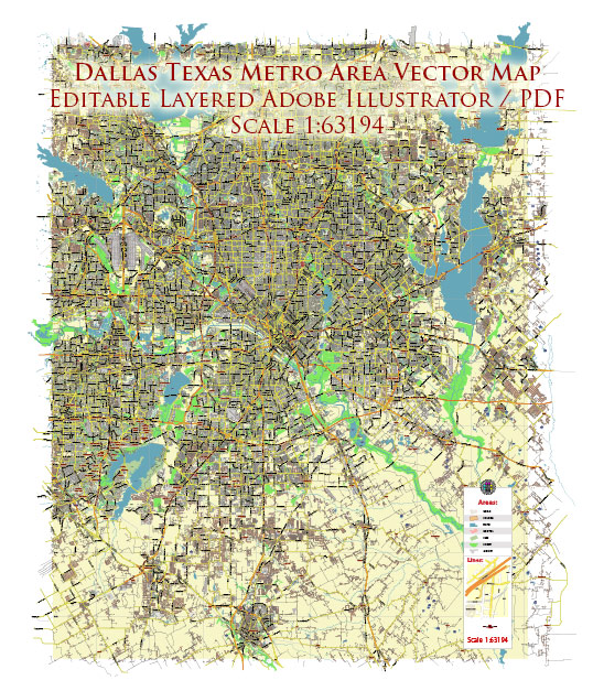
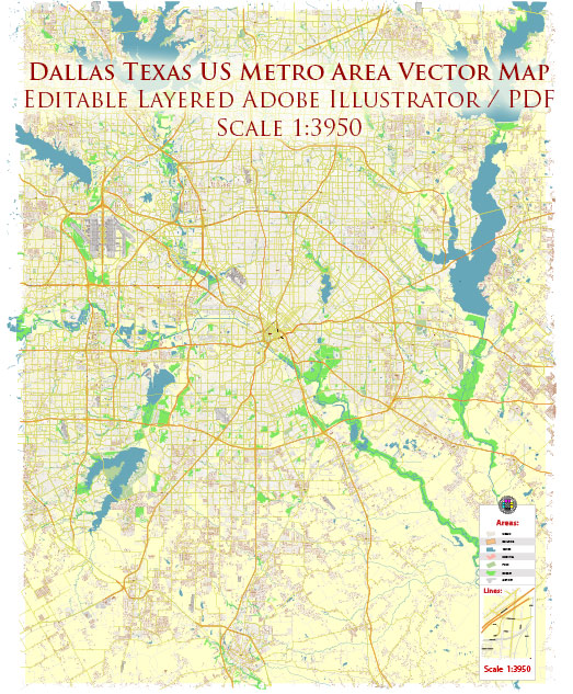
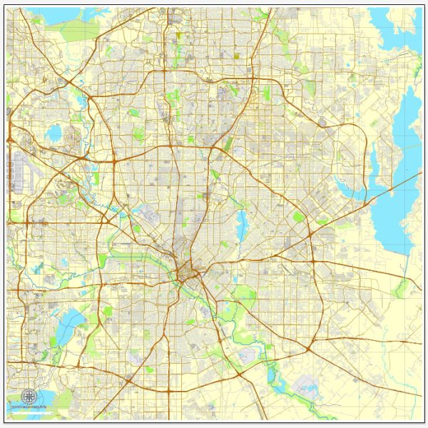
Vector Maps of the Dallas : city, Dallas, Collin, Denton, Rockwell, and Kaufman counties, seat (1846) of Dallas county, north-central Texas, U.S. It lies along the Trinity River near the junction of that river’s three forks, in a region of prairies, tree-lined creeks and rivers, and gentle hills. Its winters are mild with brief cold spells, but summers are hot with moderate to high humidity. Dallas is the state’s third most populous city (after Houston and San Antonio) and the metropolis of the sprawling Dallas–Fort Worth urban area, known locally as the Metroplex. Fort Worth lies 30 miles (48 km) west; other major cities in the metropolitan region include Arlington, Carrollton, Denton, Garland, Grand Prairie, Irving, Lewisville, Mesquite, Plano, Richardson, and University Park. Dallas has a council-manager form of government that was established there in 1931. Inc. town, 1856; city, 1871. Area city, 385 square miles (997 square km).
Instant download archives: royalty free, editable vector maps of Dallas Texas in high resolution digital PDF and Adobe Illustrator format.
All of our editable Dallas Texas vector maps are digital files,
which can be instantly downloaded in editable PDF or Adobe Illustrator format.
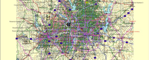
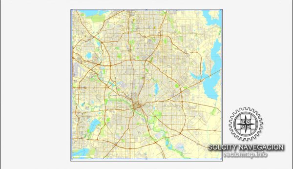
Objects on maps are usually divided into layers according to their types – lines, polygons, street names, object names (see map description!!!!)
Each of our Dallas Texas digital maps is available in Adobe Illustrator or editable PDF format, (or on request in any other known format for the same price)
which use a vector approach to display images,
you can easily enlarge any part of our maps without compromising text, line or graphic quality,
with any increase or decrease ratio.
Using a vector graphics editor such as Adobe Illustrator, CorelDraw, Inkscape, or Freehand
you can easily crop parts of the map, add custom characters, and change colors and font attributes as needed.
We have a variety of Dallas Texas vector maps with different levels of detail, from simple empty paths to highly detailed maps with roads and terrain layers.
Don’t see exactly what you’re looking for? Contact us to receive a special offer for an individual Dallas Texas map for your project.

 Author: Kirill Shrayber, Ph.D. FRGS