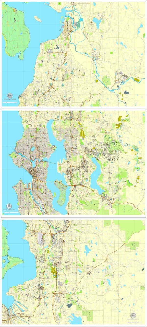
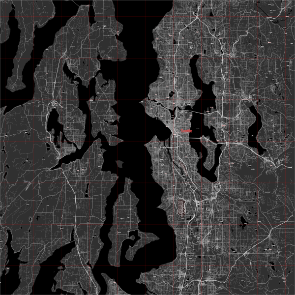
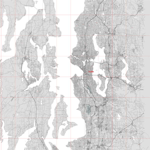
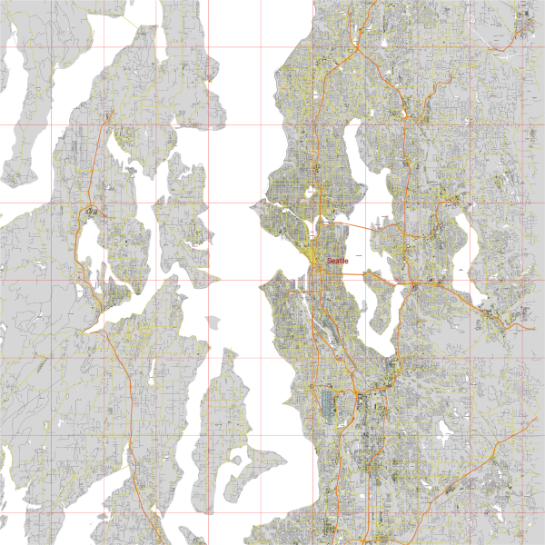
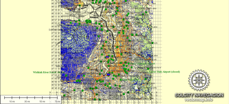
Street Map Seattle + Bellevue Washington US: PDF and Adobe Illustrator

Vector Maps of the Bellevue City, King county : western Washington, U.S., on the eastern shore of Lake Washington, there bridged to Seattle. The city developed as a primarily residential part of the Puget Sound urban area but now has a bustling commercial aspect as well. Numerous retail trade centres, office complexes, and light manufacturing facilities draw workers from throughout the area. Truck and berry farms lie to the east. The small town of Beaux Arts Village, immediately to the south, was founded in 1908 as an arts colony. Bellevue Community College was opened in 1966. Inc. 1953.

Instant download archives: royalty free, editable vector maps of Seattle + Bellevue Washington in high resolution digital PDF and Adobe Illustrator format.

Seattle WA geographical data

City Name: Seattle
Population: 569,369
County: King County
State: Washington
Country: United States
Capital: Washington
Currency: Dollar (USD)
Geographic coordinates:
(decimal degrees)
Latitude: 47.61° N
Longitude: -122.33°W
Elevation: 197 ft / 60 m
Districts: Belltown, Chinatown International District, Downtown, Fremont, Pioneer Square, Queen Anne Hill, University District,

Small towns nearby:

Bainbridge Island WA
Beaux Arts Village WA
Bellevue WA
Bothell WA
Brier WA
Burien WA
Clyde Hill WA
Eastgate WA
Esperance WA
Hunts Point WA
Indianola WA
Kenmore WA
Kingsgate WA
Kingston WA
Kirkland WA
Lake Forest Park WA
Medina WA
Mercer Island WA
Mountlake Terrace WA
Newcastle WA
Newport WA
Normandy Park WA
Renton WA
SeaTac WA
Shoreline WA
Tukwila WA
Vashon WA
White Center WA
Woodinville WA
Woodway WA

Large cities nearby:

Bellevue WA street map
Tacoma WA street map
Portland OR street map
Olympia WA street map
Vancouver WA street map
Salem OR street map
Eugene OR street map
Spokane WA street map
Reno NV street map
Boise ID street map
Roseville CA street map
Carson City NV street map
Vancouver street map (Canada)
Victoria street map (Canada)
Abbotsford street map (Canada)
Richmond street map (Canada)
Delta street map (Canada)
Calgary street map (Canada)
Kelowna street map (Canada)
Edmonton street map (Canada)

All of our editable Seattle + Bellevue Washington vector maps are digital files,
which can be instantly downloaded in editable PDF or Adobe Illustrator format.
Objects on maps are usually divided into layers according to their types – lines, polygons, street names, object names (see map description!!!!)
Each of our Seattle + Bellevue Washington digital maps is available in Adobe Illustrator or editable PDF format, (or on request in any other known format for the same price)
which use a vector approach to display images,
you can easily enlarge any part of our maps without compromising text, line or graphic quality,
with any increase or decrease ratio.
Using a vector graphics editor such as Adobe Illustrator, CorelDraw, Inkscape, or Freehand
you can easily crop parts of the map, add custom characters, and change colors and font attributes as needed.
We have a variety of Seattle + Bellevue Washington vector maps with different levels of detail, from simple empty paths to highly detailed maps with roads and terrain layers.

Bellevue WA geographical data

City Name: Bellevue
Population: 111,927
County: King County
State: Washington
Country: United States
Capital: Washington
Currency: Dollar (USD)
Geographic coordinates:
(decimal degrees)
Latitude: 47.61° N
Longitude: -122.2°W
Elevation: 141 ft / 43 m
Districts: Belltown, Chinatown International District, Downtown, Fremont, Pioneer Square, Queen Anne Hill, University District,

Small towns nearby:

Beaux Arts Village WA
Bothell WA
Brier WA
Burien WA
Clyde Hill WA
Cottage Lake WA
East Renton Highlands WA
Eastgate WA
Esperance WA
Hunts Point WA
Issaquah WA
Kenmore WA
Kingsgate WA
Kirkland WA
Lake Forest Park WA
Maltby WA
Medina WA
Mercer Island WA
Mountlake Terrace WA
Newcastle WA
Newport WA
Normandy Park WA
Redmond WA
Renton WA
Sammamish WA
SeaTac WA
Seattle WA
Shoreline WA
Tukwila WA
West Lake Sammamish WA
White Center WA
Woodinville WA
Woodway WA

Large cities nearby:

Seattle WA street map
Tacoma WA street map
Portland OR street map
Olympia WA street map
Vancouver WA street map
Salem OR street map
Eugene OR street map
Spokane WA street map
Reno NV street map
Boise ID street map
Roseville CA street map
Carson City NV street map
Vancouver street map (Canada)
Victoria street map (Canada)
Abbotsford street map (Canada)
Richmond street map (Canada)
Delta street map (Canada)
Calgary street map (Canada)
Kelowna street map (Canada)
Edmonton street map (Canada)

Don’t see exactly what you’re looking for? Contact us to receive a special offer for an individual Seattle + Bellevue Washington map for your project.

Author: Kirill Shrayber, Ph.D.

I have been working with vector cartography for over 25 years, including GPS, GIS, Adobe Illustrator and other professional cartographic software.
Linkedin: https://www.linkedin.com/in/kirill-shrayber-0b839325/
Twitter: https://twitter.com/vectormapper

Are we missing some maps? Let us know!!!
What map do you need?

    We will upload it within the next 24 hours and notify you by Email.

    Menu