Vector Maps of the Pennsylvania, officially the Commonwealth of Pennsylvania : landlocked state spanning the Mid-Atlantic, Northeastern, and Appalachian regions of the United States. It borders Delaware to the southeast, Maryland to the south, West Virginia to the southwest, Ohio to the west, Lake Erie and the Canadian province of Ontario to the northwest, New York to the north, and New Jersey to the east.
Capital: Harrisburg
Largest city: Philadelphia
Largest metro and urban areas: Delaware Valley
Area
• Total 46,055 sq mi (119,283 km2)
• Land 44,816.61 sq mi (116,074 km2)
• Water 1,239 sq mi (3,208 km2) 2.7%
Area rank 33rd
Dimensions
• Length 170 mi (273 km)
• Width 283 mi (455 km)
Elevation 1,100 ft (340 m)
Highest elevation Mount Davis 3,213 ft (979 m)
Lowest elevation Delaware River at Delaware border 0 ft (0 m)
Population
• Total 13,137,256
• Rank 5th
• Density 290/sq mi (112/km2)
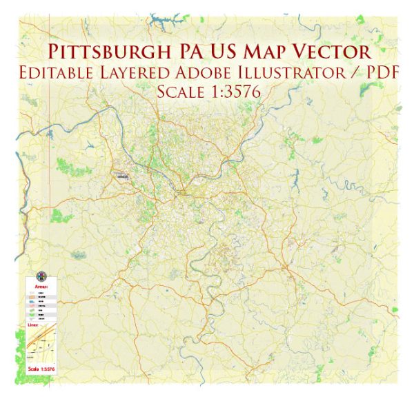
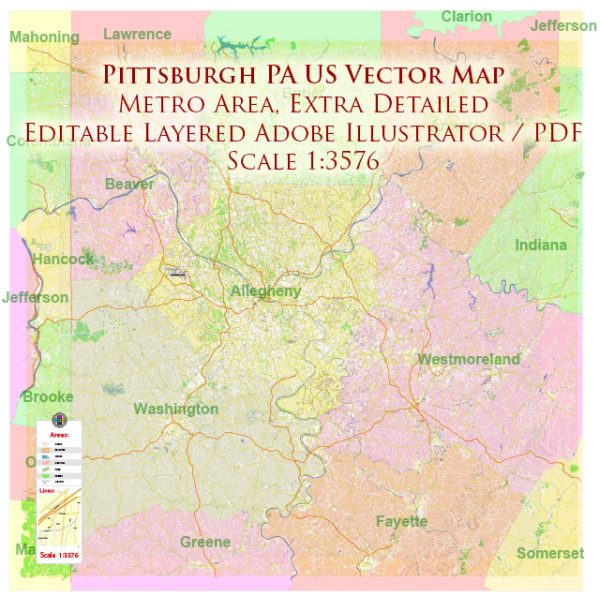
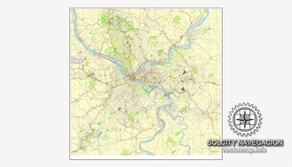
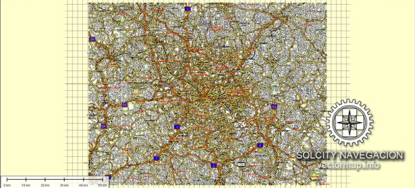
Instant download archives: royalty free, editable vector maps of Pennsylvania US in high resolution digital PDF and Adobe Illustrator format.
All of our editable Pennsylvania US vector maps are digital files,
which can be instantly downloaded in editable PDF or Adobe Illustrator format.
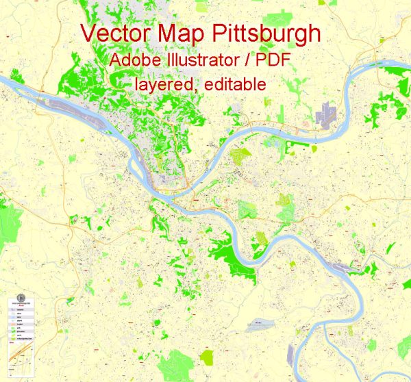
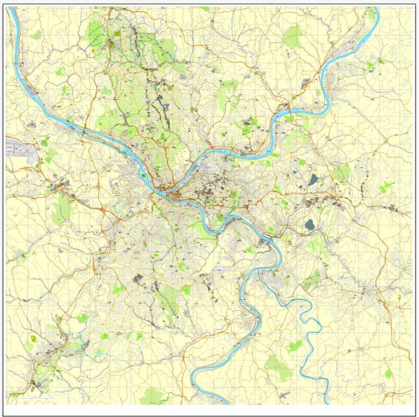
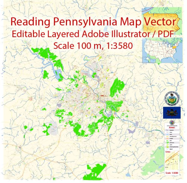
Objects on maps are usually divided into layers according to their types – lines, polygons, street names, object names (see map description!!!!)
Each of our Pennsylvania US digital maps is available in Adobe Illustrator or editable PDF format, (or on request in any other known format for the same price)
which use a vector approach to display images,
you can easily enlarge any part of our maps without compromising text, line or graphic quality,
with any increase or decrease ratio.
Using a vector graphics editor such as Adobe Illustrator, CorelDraw, Inkscape, or Freehand
you can easily crop parts of the map, add custom characters, and change colors and font attributes as needed.
We have a variety of Pennsylvania US vector maps with different levels of detail, from simple empty paths to highly detailed maps with roads and terrain layers.
Don’t see exactly what you’re looking for? Contact us to receive a special offer for an individual Pennsylvania US map for your project.

 Author: Kirill Shrayber, Ph.D. FRGS