Free vector map State Pennsylvania US Adobe Illustrator and PDF download
Free vector map State Pennsylvania US Adobe Illustrator download now >>>
Free vector map State Pennsylvania US Adobe PDF download now >>>
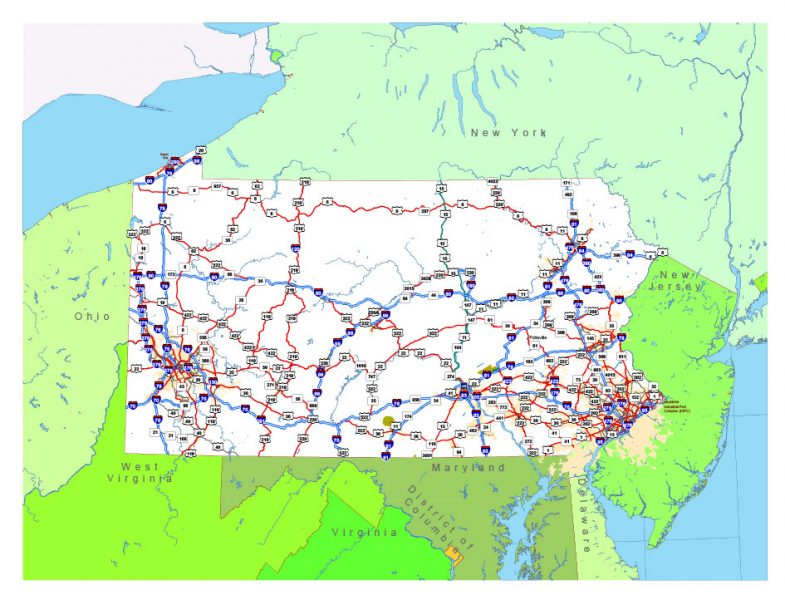
Pennsylvania See also: Full version high detailed vector maps of the State territory, and Cities
US State
Pennsylvania, a northeastern U.S. state and one of the 13 original colonies, has a diverse terrain, which includes wide stretches of farmland, national forests, and mountains. Philadelphia, the Keystone State’s largest city, displays its rich history in Independence Hall (where the Declaration of Independence and Constitution were signed) and the Liberty Bell, an enduring symbol of American freedom.
Capital: Harrisburg
Abbreviation: PA
 Author: Kirill Shrayber, Ph.D. FRGS