Extended Description of the Vector Map
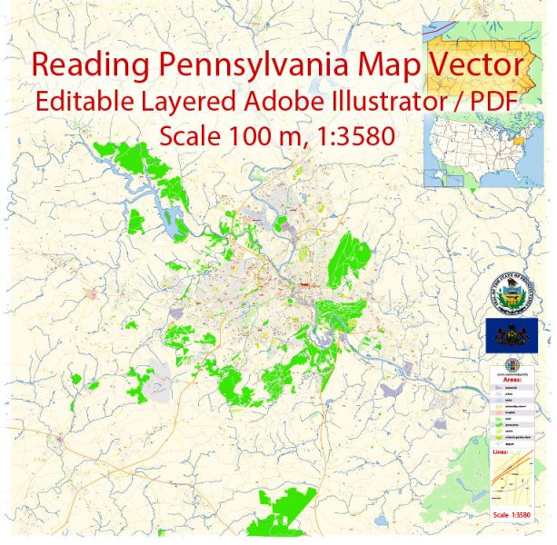
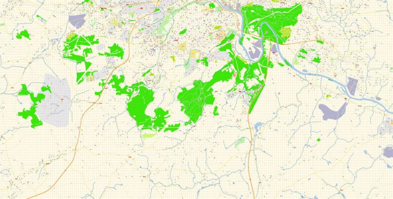
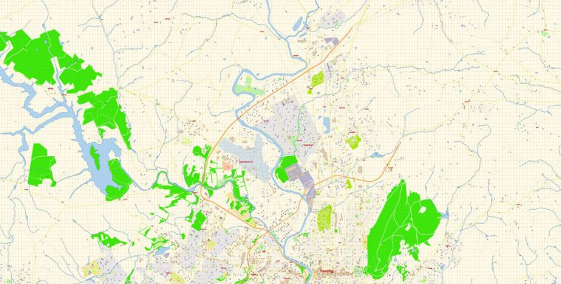
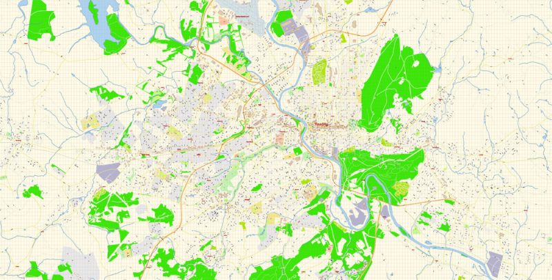
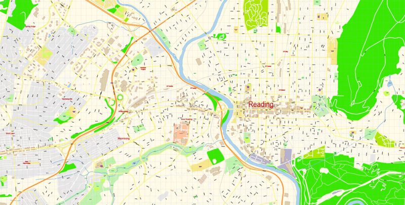
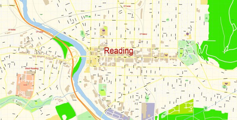
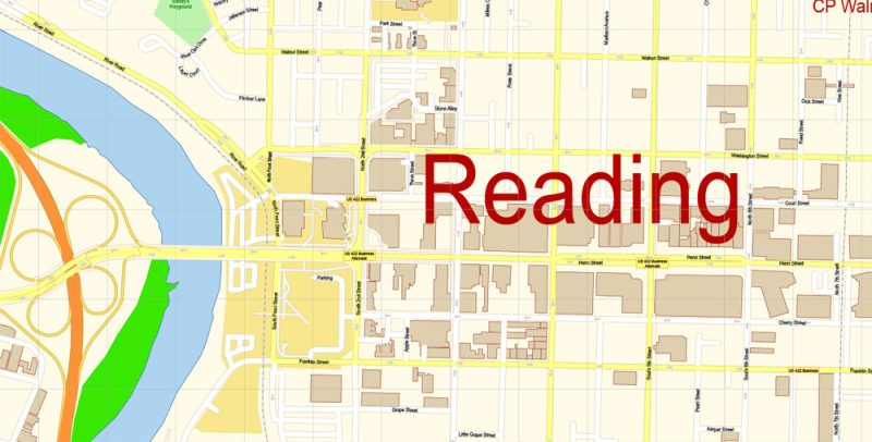
Printable Vector Map of Reading Pennsylvania US detailed City Plan scale 100 m 1:3580 full editable Adobe Illustrator Street Map in layers, scalable, text format all names, 15 MB ZIP
All street names, Main Objects, Principal Buildings. Map for design, printing, arts, projects, presentations, for architects, designers, and builders, business, logistics.
Layers: color_fills, water, streets_roads, labels_roads, names_objects, names_streets, names_places, arrows_streets, buildings, grids, legend, etc.
The most exact and detailed map of the city in scale.
For Editing and High-Quality Printing
Reading
City in Pennsylvania
Reading is a city in southern Pennsylvania. The Reading Public Museum exhibits an Egyptian mummy and works by Degas, and includes a planetarium and arboretum. The Mid-Atlantic Air Museum displays vintage aircraft, including military planes. To the south, trails wind through the woodlands and streams of Nolde Forest. East, the Daniel Boone Homestead marks the 18th-century birthplace of the legendary frontiersman.
Area: 26.11 km²
Population: 88,423
Reading Pennsylvania Map Vector Exact City Plan detailed Street Map editable Adobe Illustrator in layers
Reading Pennsylvania Map Vector Exact City Plan detailed Street Map editable Adobe Illustrator in layers
Reading Pennsylvania Map Vector Exact City Plan detailed Street Map editable Adobe Illustrator in layers
Reading Pennsylvania Map Vector Exact City Plan detailed Street Map editable Adobe Illustrator in layers
Reading Pennsylvania Map Vector Exact City Plan detailed Street Map editable Adobe Illustrator in layers
Reading Pennsylvania Map Vector Exact City Plan detailed Street Map editable Adobe Illustrator in layers
Reading Pennsylvania Map Vector Exact City Plan detailed Street Map editable Adobe Illustrator in layers


 Author: Kirill Shrayber, Ph.D. FRGS


